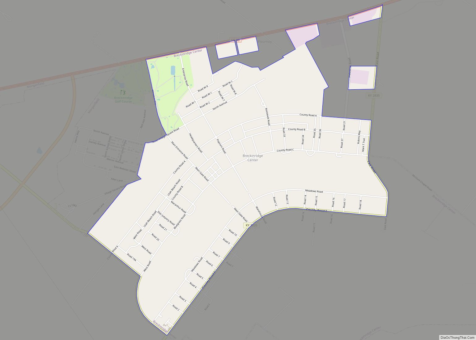
Breckinridge Center is a census-designated place (CDP) in Union County, Kentucky, United States. The population was 1,874 at the 2000 census. It is named for the Breckinridge Job Corps Center, now known as the Earle C. Clements Job Corps Center.
| Name: | Breckinridge Center CDP |
|---|---|
| LSAD Code: | 57 |
| LSAD Description: | CDP (suffix) |
| State: | Kentucky |
| County: | Union County |
| Elevation: | 433 ft (132 m) |
| Total Area: | 2.63 sq mi (6.80 km²) |
| Land Area: | 2.62 sq mi (6.80 km²) |
| Water Area: | 0.00 sq mi (0.01 km²) |
| Total Population: | 1,282 |
| Population Density: | 488.57/sq mi (188.61/km²) |
| FIPS code: | 2109379 |
| GNISfeature ID: | 1867276 |
Online Interactive Map
Click on ![]() to view map in "full screen" mode.
to view map in "full screen" mode.
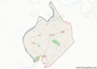
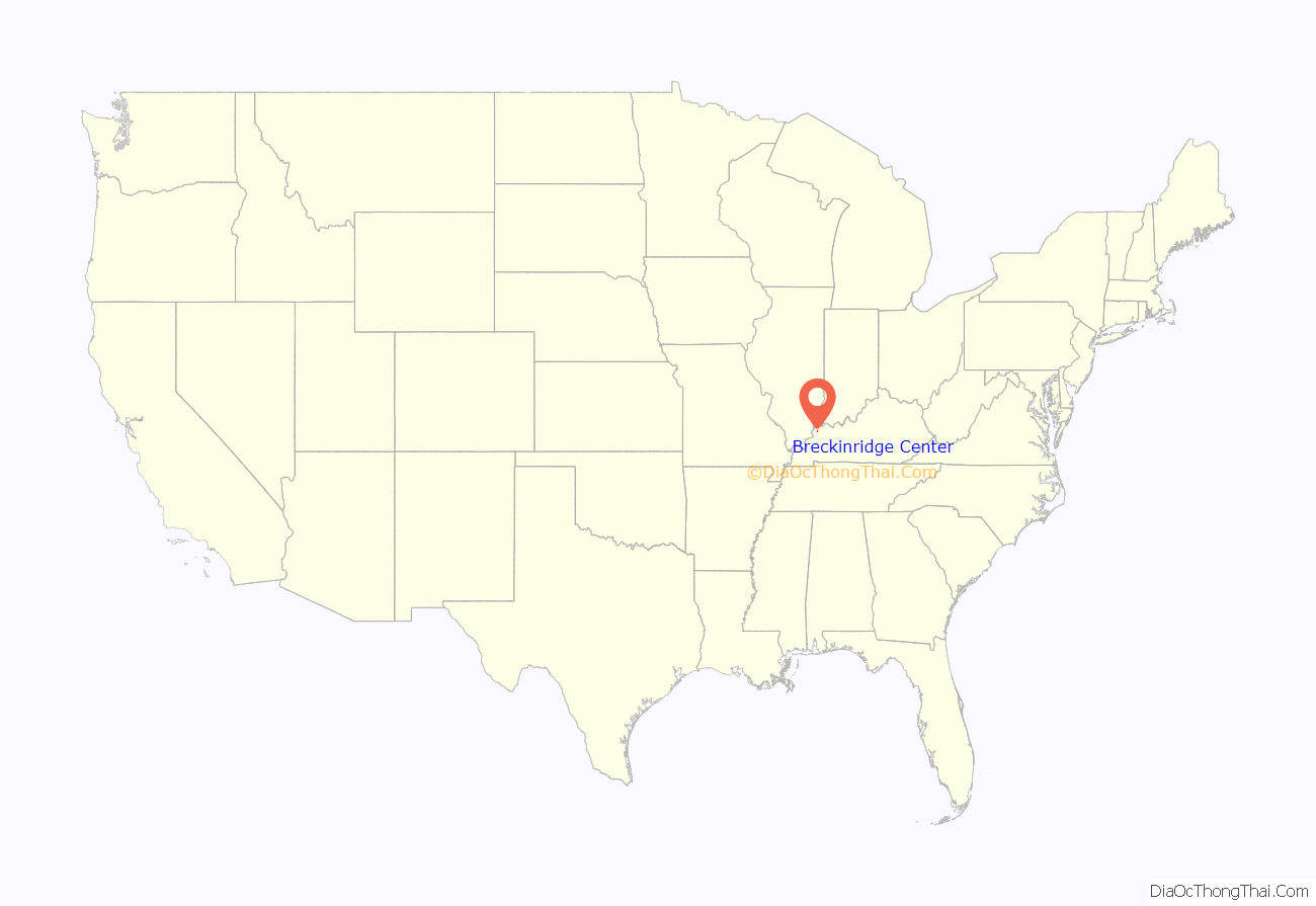
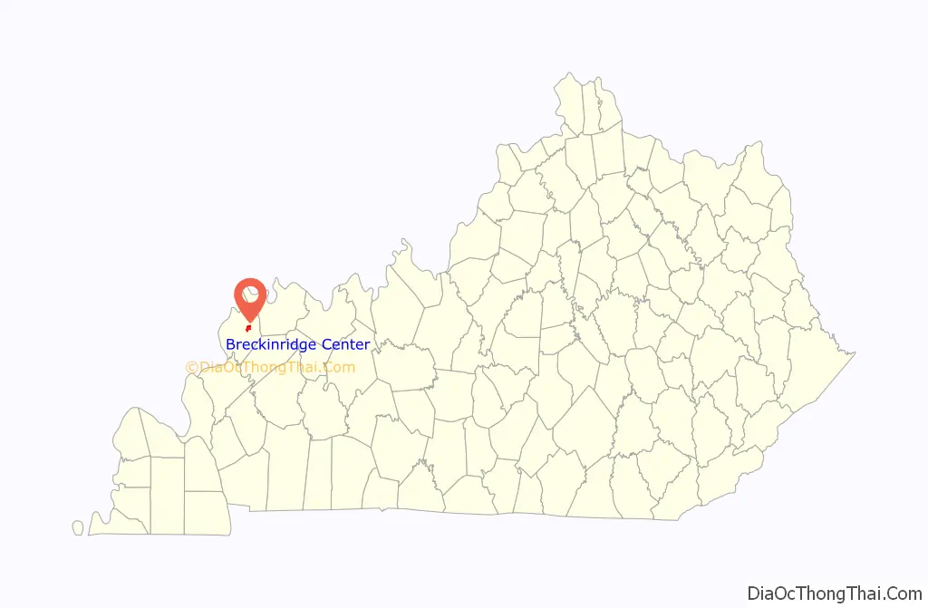
Breckinridge Center location map. Where is Breckinridge Center CDP?
History
Breckinridge Center was formerly home to Camp Breckinridge, a prisoner of war camp operated by the United States Armed Forces during World War II. It was later converted into the headquarters of the 506th Regiment of the 101st Airborne Division during the Korean War.
The camp was deactivated and was sold in 1965.
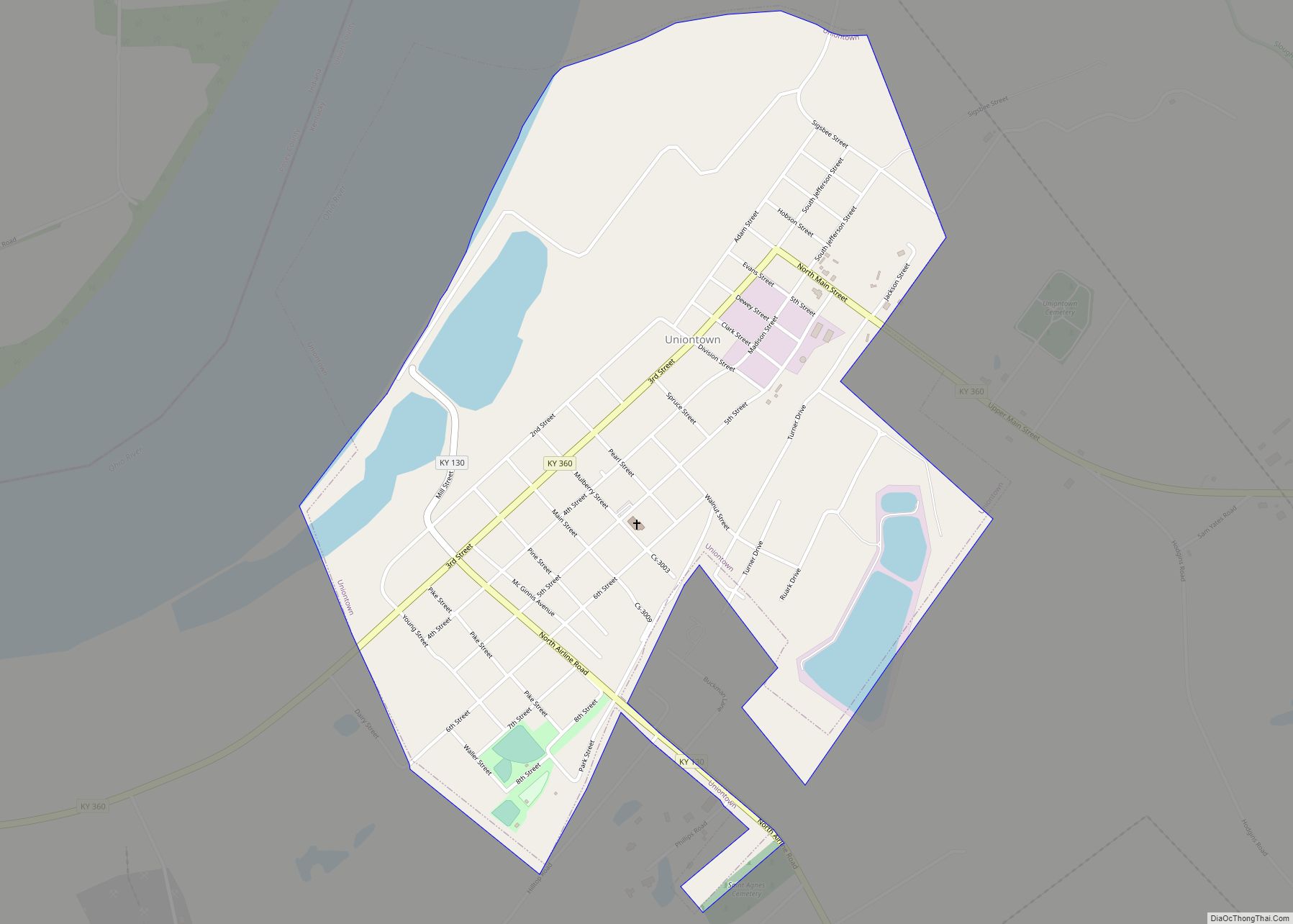
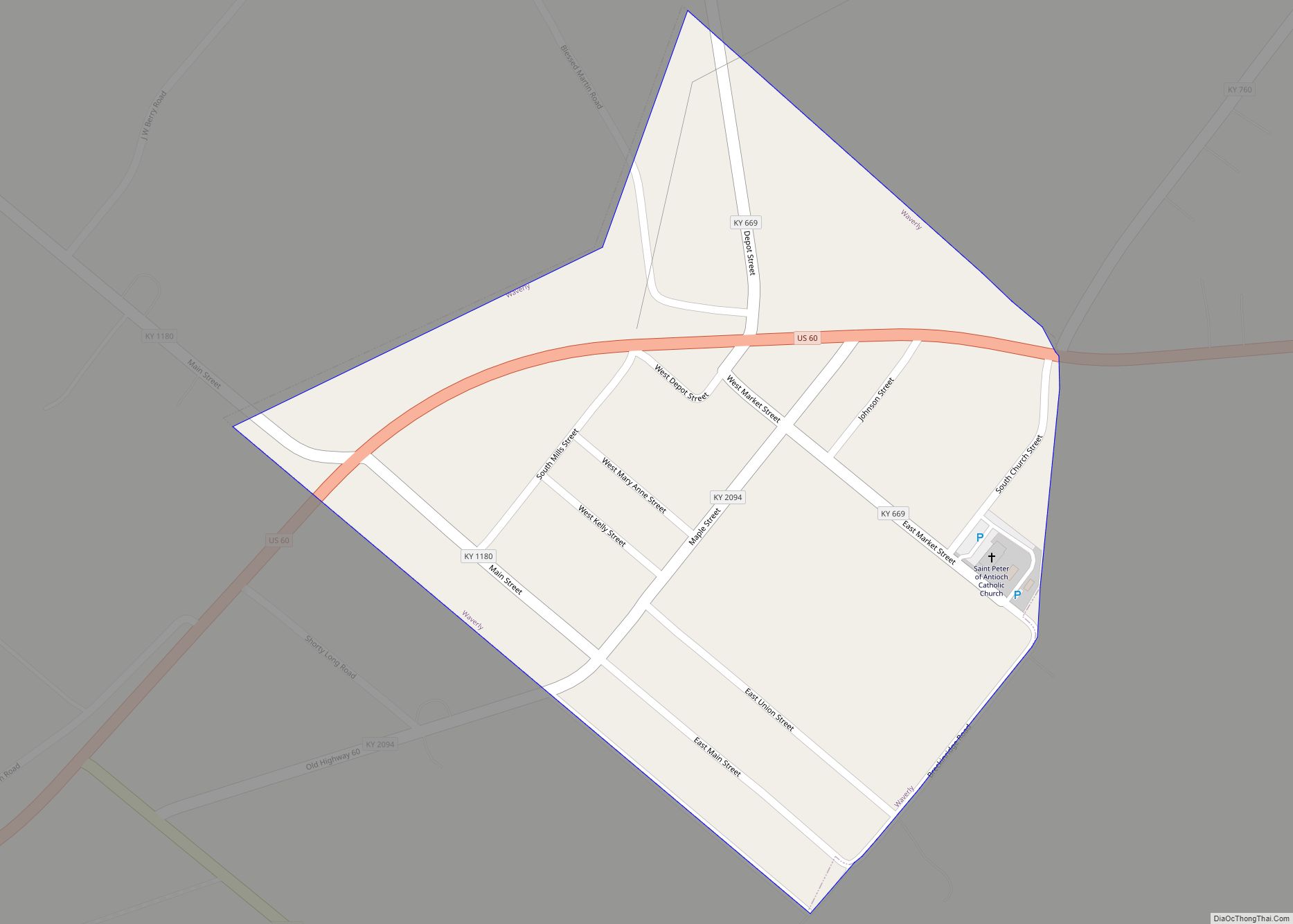
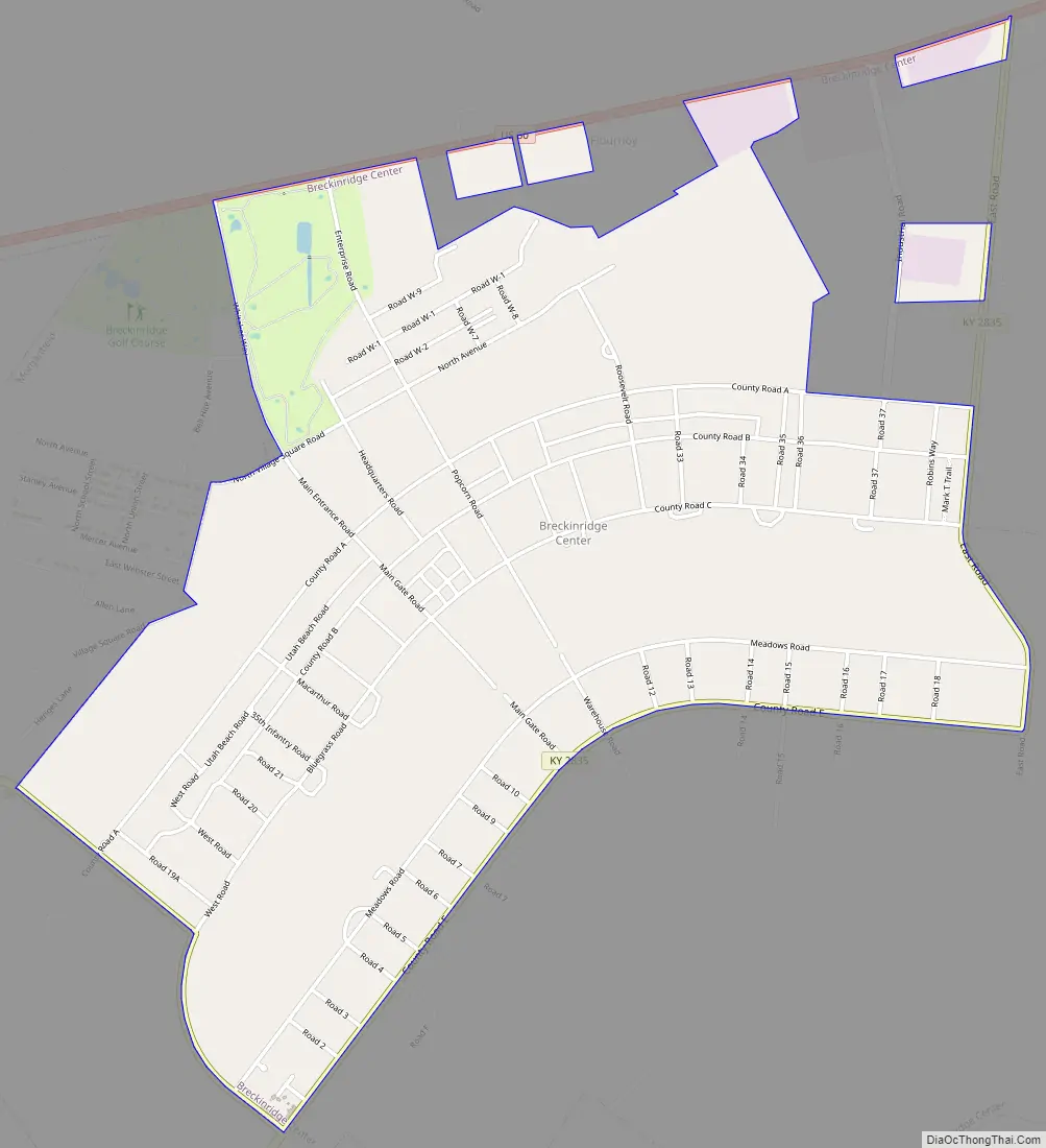
Breckinridge Center Road Map
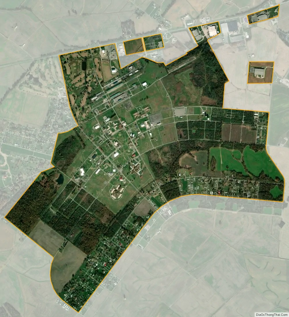
Breckinridge Center city Satellite Map
Geography
Breckinridge Center is located at 37°40′46″N 87°51′58″W / 37.67944°N 87.86611°W / 37.67944; -87.86611 (37.679306, -87.866073).
According to the United States Census Bureau, the CDP has a total area of 5.6 square miles (15 km), all land.
See also
Map of Kentucky State and its subdivision:- Adair
- Allen
- Anderson
- Ballard
- Barren
- Bath
- Bell
- Boone
- Bourbon
- Boyd
- Boyle
- Bracken
- Breathitt
- Breckinridge
- Bullitt
- Butler
- Caldwell
- Calloway
- Campbell
- Carlisle
- Carroll
- Carter
- Casey
- Christian
- Clark
- Clay
- Clinton
- Crittenden
- Cumberland
- Daviess
- Edmonson
- Elliott
- Estill
- Fayette
- Fleming
- Floyd
- Franklin
- Fulton
- Gallatin
- Garrard
- Grant
- Graves
- Grayson
- Green
- Greenup
- Hancock
- Hardin
- Harlan
- Harrison
- Hart
- Henderson
- Henry
- Hickman
- Hopkins
- Jackson
- Jefferson
- Jessamine
- Johnson
- Kenton
- Knott
- Knox
- Larue
- Laurel
- Lawrence
- Lee
- Leslie
- Letcher
- Lewis
- Lincoln
- Livingston
- Logan
- Lyon
- Madison
- Magoffin
- Marion
- Marshall
- Martin
- Mason
- McCracken
- McCreary
- McLean
- Meade
- Menifee
- Mercer
- Metcalfe
- Monroe
- Montgomery
- Morgan
- Muhlenberg
- Nelson
- Nicholas
- Ohio
- Oldham
- Owen
- Owsley
- Pendleton
- Perry
- Pike
- Powell
- Pulaski
- Robertson
- Rockcastle
- Rowan
- Russell
- Scott
- Shelby
- Simpson
- Spencer
- Taylor
- Todd
- Trigg
- Trimble
- Union
- Warren
- Washington
- Wayne
- Webster
- Whitley
- Wolfe
- Woodford
- Alabama
- Alaska
- Arizona
- Arkansas
- California
- Colorado
- Connecticut
- Delaware
- District of Columbia
- Florida
- Georgia
- Hawaii
- Idaho
- Illinois
- Indiana
- Iowa
- Kansas
- Kentucky
- Louisiana
- Maine
- Maryland
- Massachusetts
- Michigan
- Minnesota
- Mississippi
- Missouri
- Montana
- Nebraska
- Nevada
- New Hampshire
- New Jersey
- New Mexico
- New York
- North Carolina
- North Dakota
- Ohio
- Oklahoma
- Oregon
- Pennsylvania
- Rhode Island
- South Carolina
- South Dakota
- Tennessee
- Texas
- Utah
- Vermont
- Virginia
- Washington
- West Virginia
- Wisconsin
- Wyoming