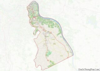
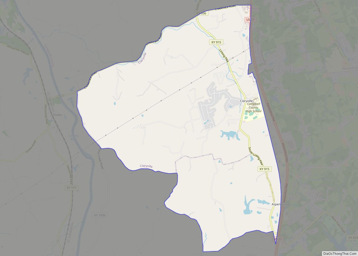
Claryville is an unincorporated community and census-designated place (CDP) in Campbell County, Kentucky, United States. The population was 2,355 at the 2010 census.
| Name: | Claryville CDP |
|---|---|
| LSAD Code: | 57 |
| LSAD Description: | CDP (suffix) |
| State: | Kentucky |
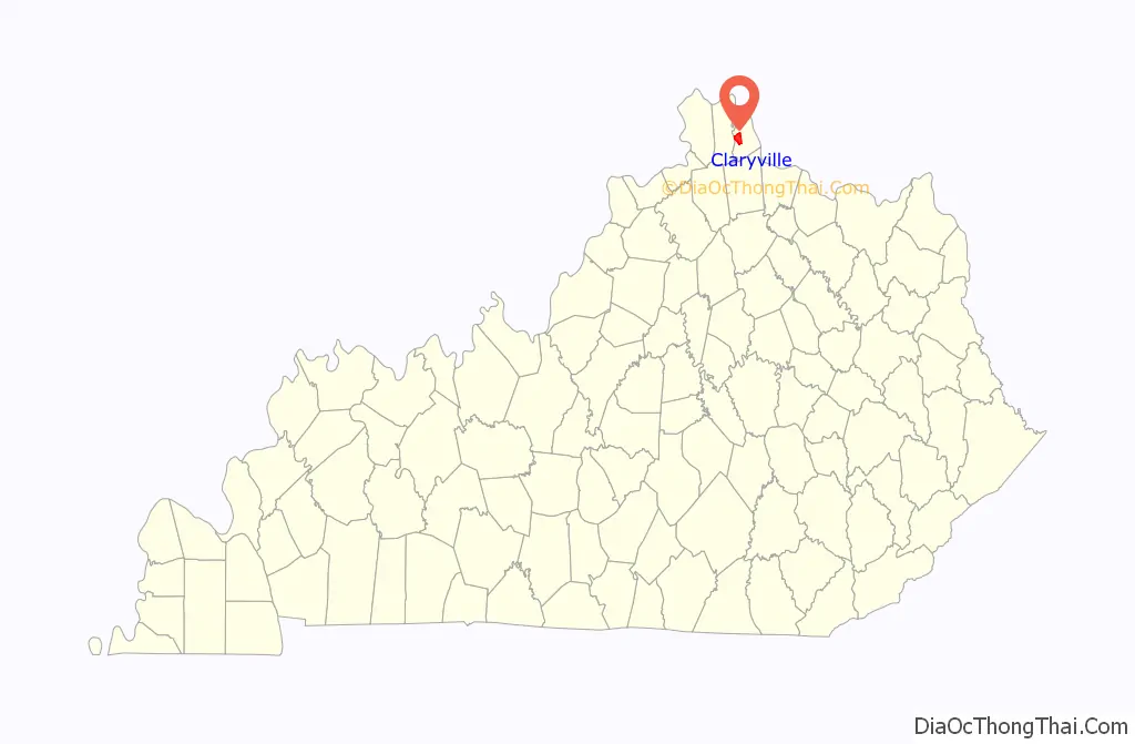
| County: | Campbell County |
| Elevation: | 689 ft (210 m) |
| Total Area: | 7.20 sq mi (18.65 km²) |
| Land Area: | 7.20 sq mi (18.65 km²) |
| Water Area: | 0.00 sq mi (0.00 km²) |
| Total Population: | 2,992 |
| Population Density: | 415.50/sq mi (160.43/km²) |
| ZIP code: | 41001 |
| Area code: | 859 |
| FIPS code: | 2115166 |
| GNISfeature ID: | 0489563 |
Online Interactive Map
Click on ![]() to view map in "full screen" mode.
to view map in "full screen" mode.
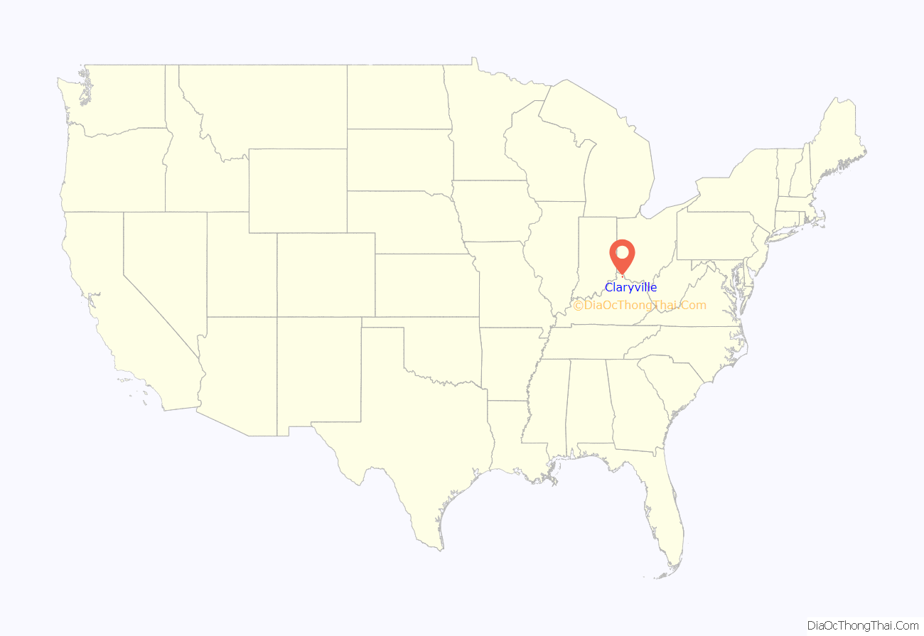
Claryville location map. Where is Claryville CDP?
History
Claryville was named for the Clary family of pioneer settlers.
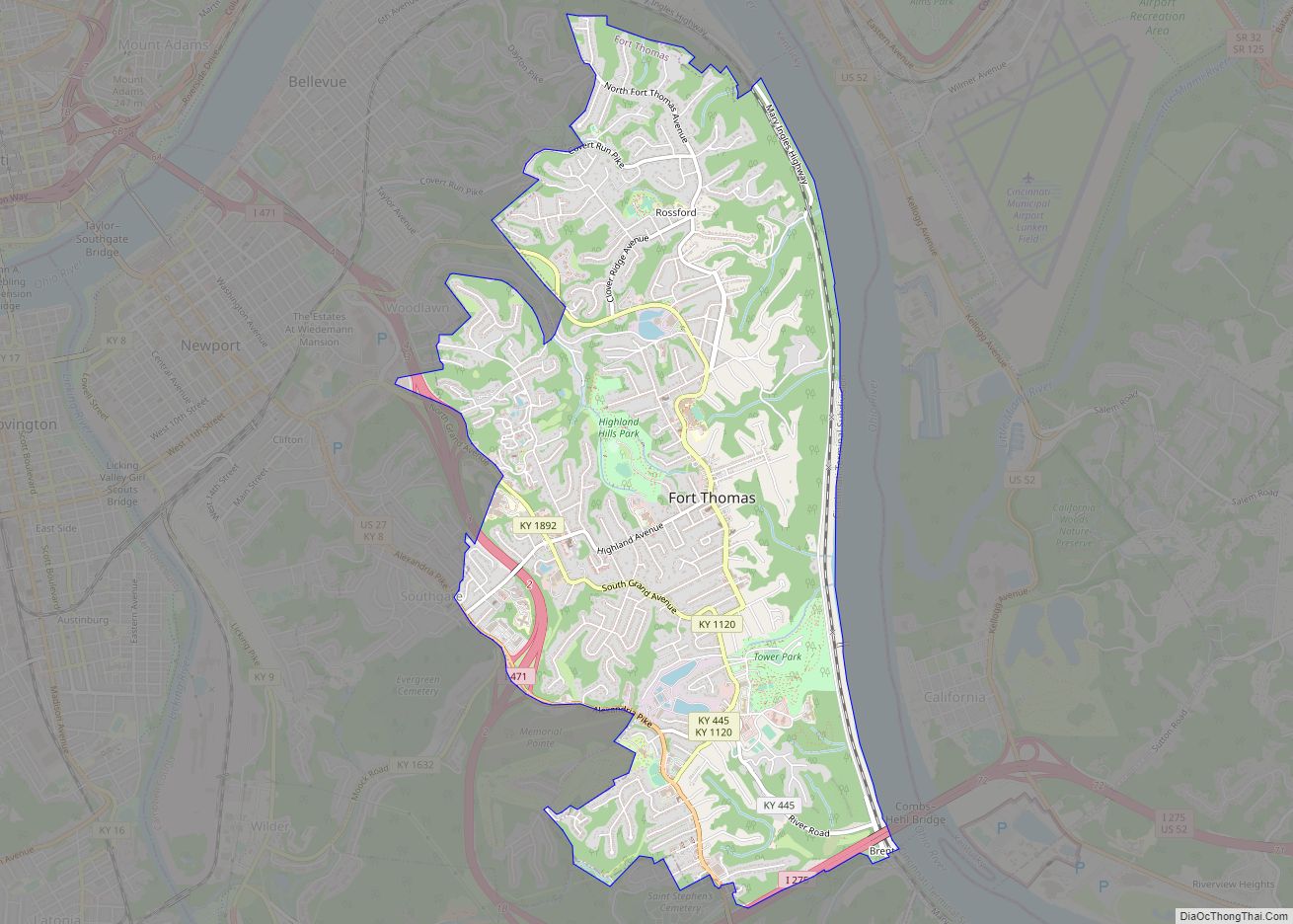
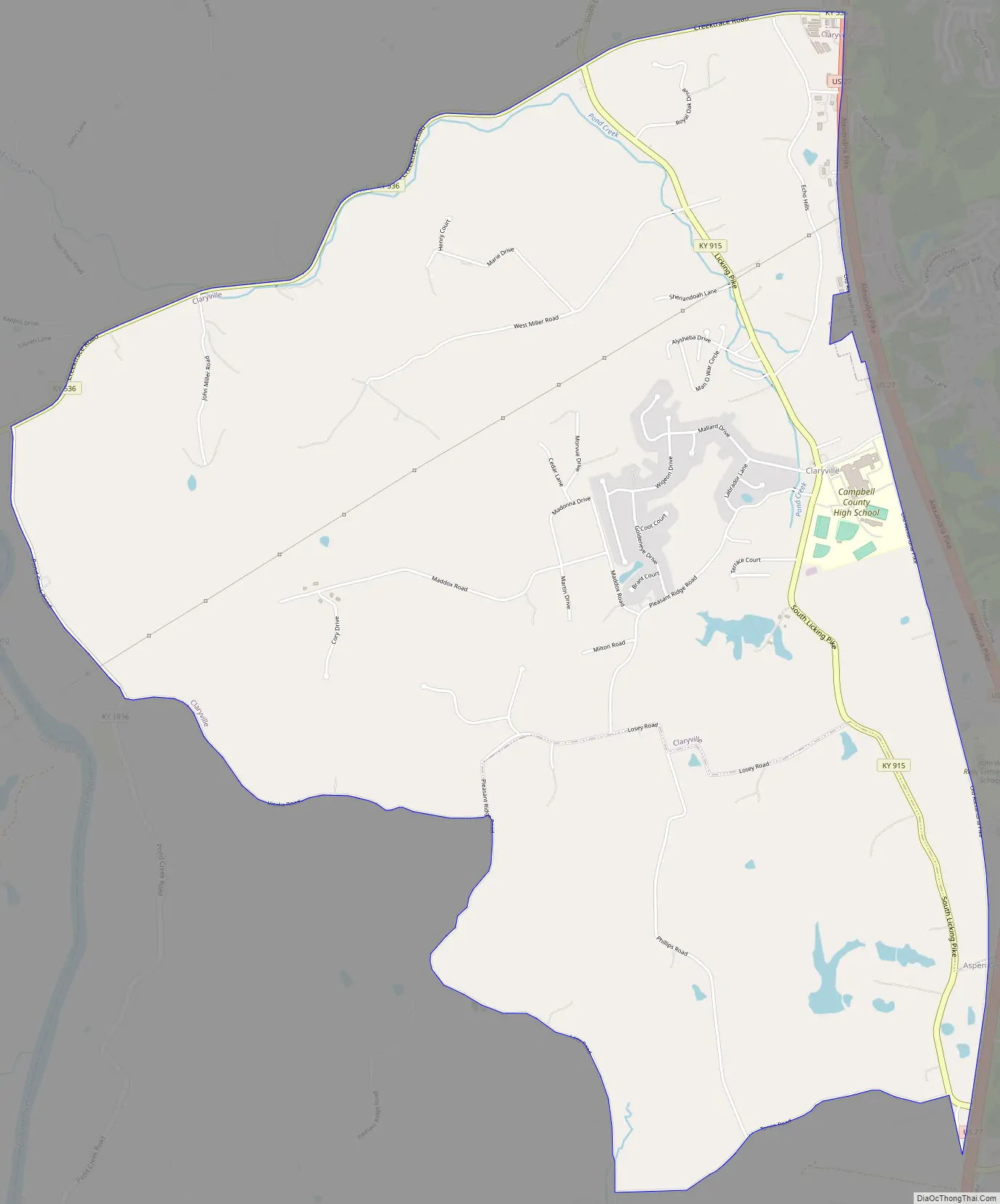
Claryville Road Map
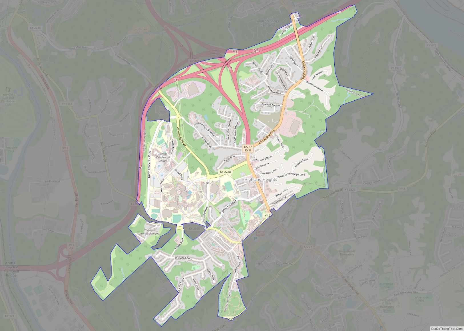
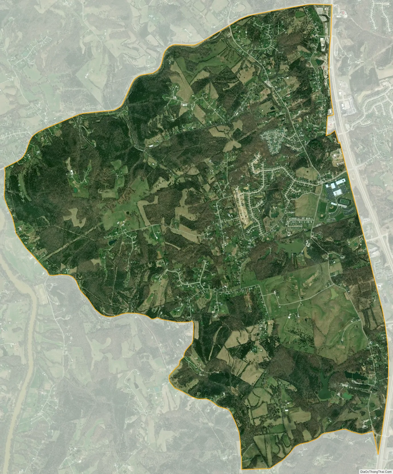
Claryville city Satellite Map
Geography
Claryville is located in southwestern Campbell County at 38°55′44″N 84°24′6″W / 38.92889°N 84.40167°W / 38.92889; -84.40167 (38.928983, −84.401744). Its western border, Pond Creek Road, runs along the Licking River, which forms the Kenton County line. U.S. Route 27 (Alexandria Pike) is a four-lane highway that passes through the eastern part of Claryville, leading north through Alexandria 16 miles (26 km) to downtown Cincinnati, Ohio, and south 19 miles (31 km) to Falmouth.
According to the United States Census Bureau, the CDP has a total area of 6.9 square miles (18.0 km), all land.
See also
Map of Kentucky State and its subdivision:- Adair
- Allen
- Anderson
- Ballard
- Barren
- Bath
- Bell
- Boone
- Bourbon
- Boyd
- Boyle
- Bracken
- Breathitt
- Breckinridge
- Bullitt
- Butler
- Caldwell
- Calloway
- Campbell
- Carlisle
- Carroll
- Carter
- Casey
- Christian
- Clark
- Clay
- Clinton
- Crittenden
- Cumberland
- Daviess
- Edmonson
- Elliott
- Estill
- Fayette
- Fleming
- Floyd
- Franklin
- Fulton
- Gallatin
- Garrard
- Grant
- Graves
- Grayson
- Green
- Greenup
- Hancock
- Hardin
- Harlan
- Harrison
- Hart
- Henderson
- Henry
- Hickman
- Hopkins
- Jackson
- Jefferson
- Jessamine
- Johnson
- Kenton
- Knott
- Knox
- Larue
- Laurel
- Lawrence
- Lee
- Leslie
- Letcher
- Lewis
- Lincoln
- Livingston
- Logan
- Lyon
- Madison
- Magoffin
- Marion
- Marshall
- Martin
- Mason
- McCracken
- McCreary
- McLean
- Meade
- Menifee
- Mercer
- Metcalfe
- Monroe
- Montgomery
- Morgan
- Muhlenberg
- Nelson
- Nicholas
- Ohio
- Oldham
- Owen
- Owsley
- Pendleton
- Perry
- Pike
- Powell
- Pulaski
- Robertson
- Rockcastle
- Rowan
- Russell
- Scott
- Shelby
- Simpson
- Spencer
- Taylor
- Todd
- Trigg
- Trimble
- Union
- Warren
- Washington
- Wayne
- Webster
- Whitley
- Wolfe
- Woodford
- Alabama
- Alaska
- Arizona
- Arkansas
- California
- Colorado
- Connecticut
- Delaware
- District of Columbia
- Florida
- Georgia
- Hawaii
- Idaho
- Illinois
- Indiana
- Iowa
- Kansas
- Kentucky
- Louisiana
- Maine
- Maryland
- Massachusetts
- Michigan
- Minnesota
- Mississippi
- Missouri
- Montana
- Nebraska
- Nevada
- New Hampshire
- New Jersey
- New Mexico
- New York
- North Carolina
- North Dakota
- Ohio
- Oklahoma
- Oregon
- Pennsylvania
- Rhode Island
- South Carolina
- South Dakota
- Tennessee
- Texas
- Utah
- Vermont
- Virginia
- Washington
- West Virginia
- Wisconsin
- Wyoming