Cold Spring is a home rule-class city in Campbell County, Kentucky, in the United States. The population was 5,912 at the 2010 census, up from 3,806 at the 2000 census. It is part of the Cincinnati-Northern Kentucky metropolitan area.
The organization Disabled American Veterans was formerly based in Cold Spring.
| Name: | Cold Spring city |
|---|---|
| LSAD Code: | 25 |
| LSAD Description: | city (suffix) |
| State: | Kentucky |
| County: | Campbell County |
| Elevation: | 866 ft (264 m) |
| Total Area: | 4.75 sq mi (12.30 km²) |
| Land Area: | 4.75 sq mi (12.30 km²) |
| Water Area: | 0.00 sq mi (0.00 km²) |
| Total Population: | 6,216 |
| Population Density: | 1,309.18/sq mi (505.52/km²) |
| ZIP code: | 41076 |
| Area code: | 859 |
| FIPS code: | 2116372 |
| GNISfeature ID: | 0489794 |
| Website: | www.coldspringky.com |
Online Interactive Map
Click on ![]() to view map in "full screen" mode.
to view map in "full screen" mode.
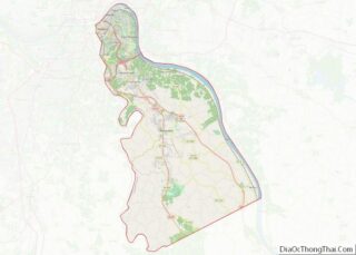
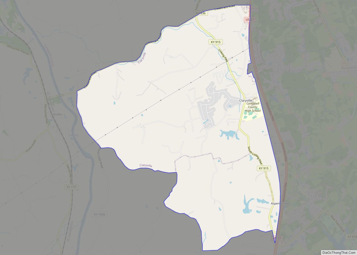
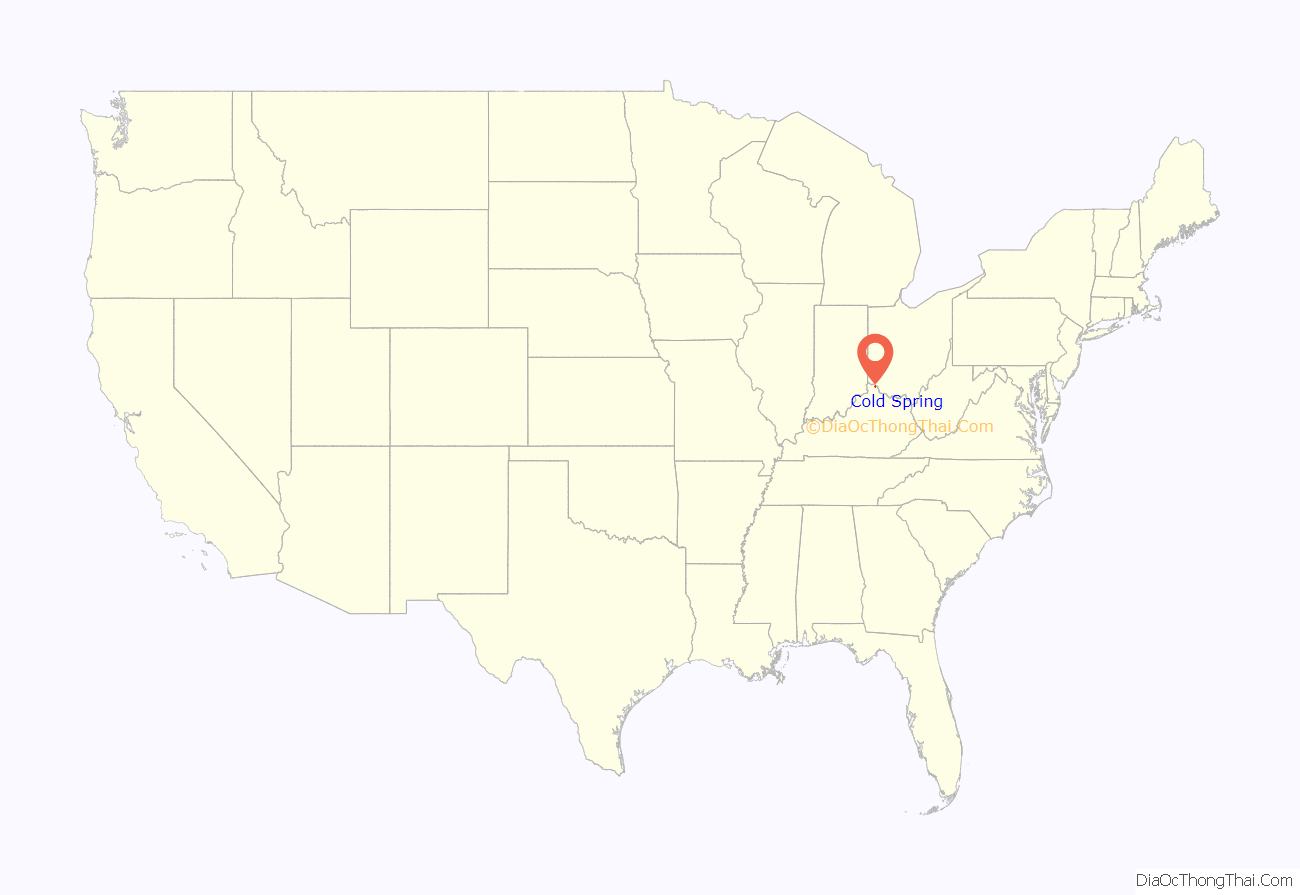
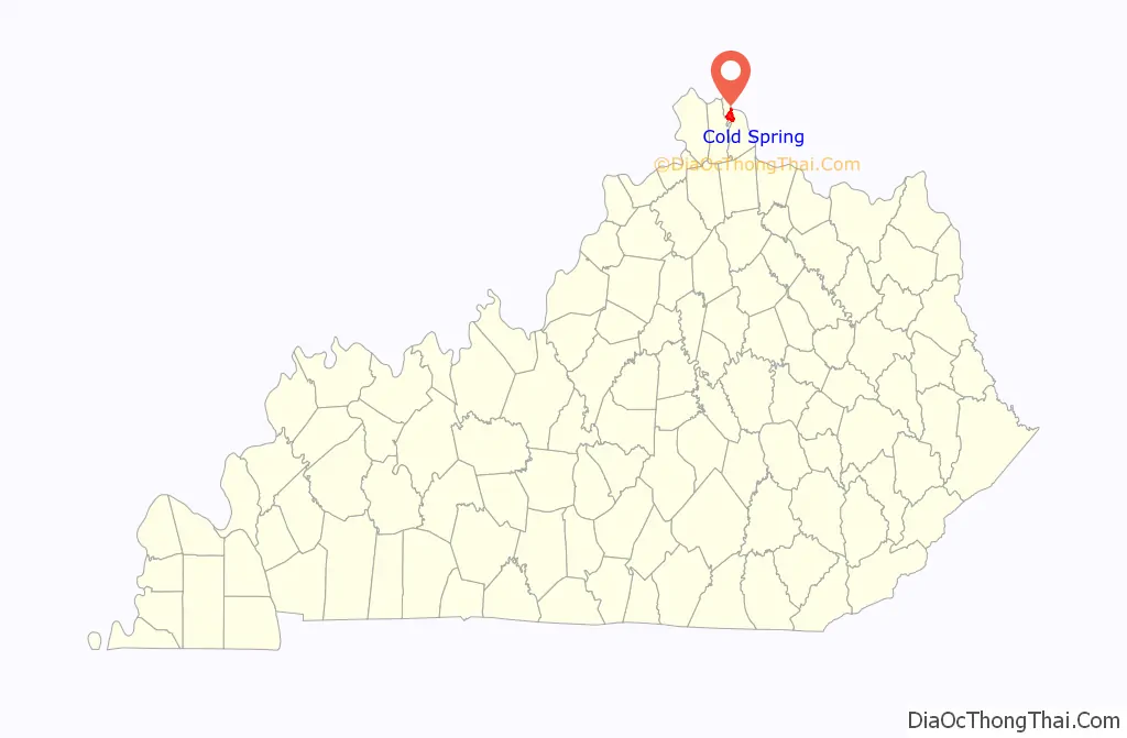
Cold Spring location map. Where is Cold Spring city?
History
The name “Cold Spring” refers to a cold stream which for many years served as the sole source of drinking water. The community was founded prior to 1800, and a post office was established in 1832. It has since merged with the post office of Highland Heights.
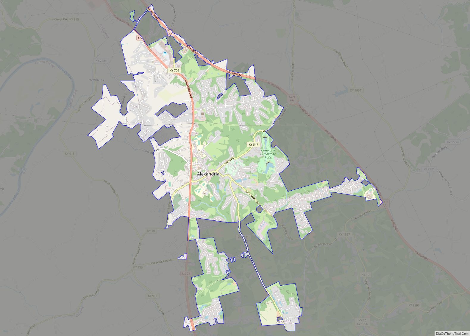
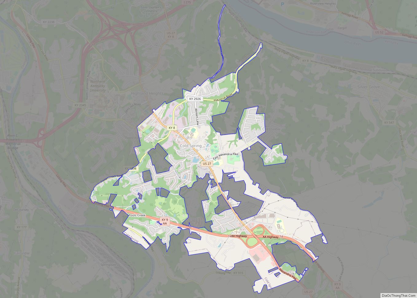
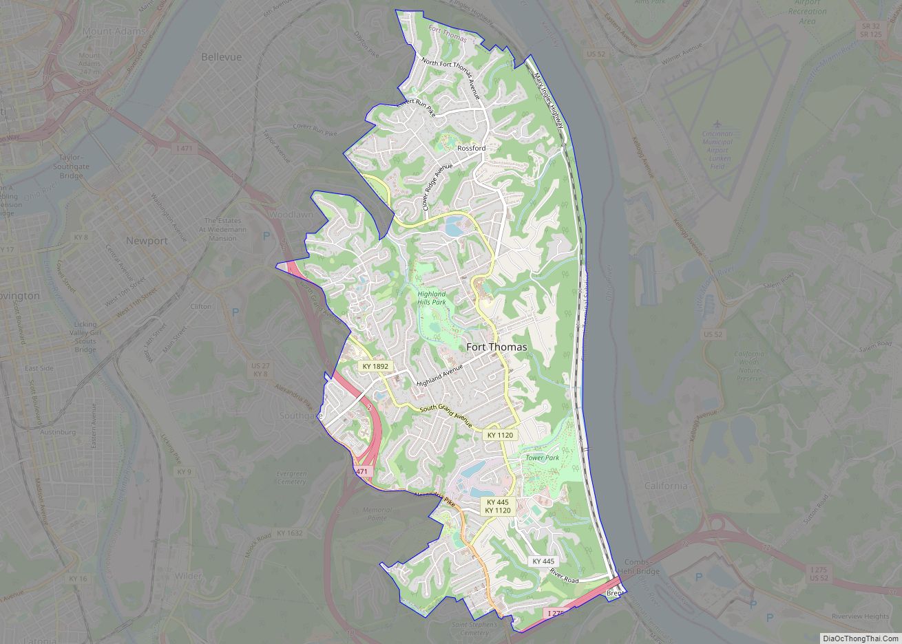
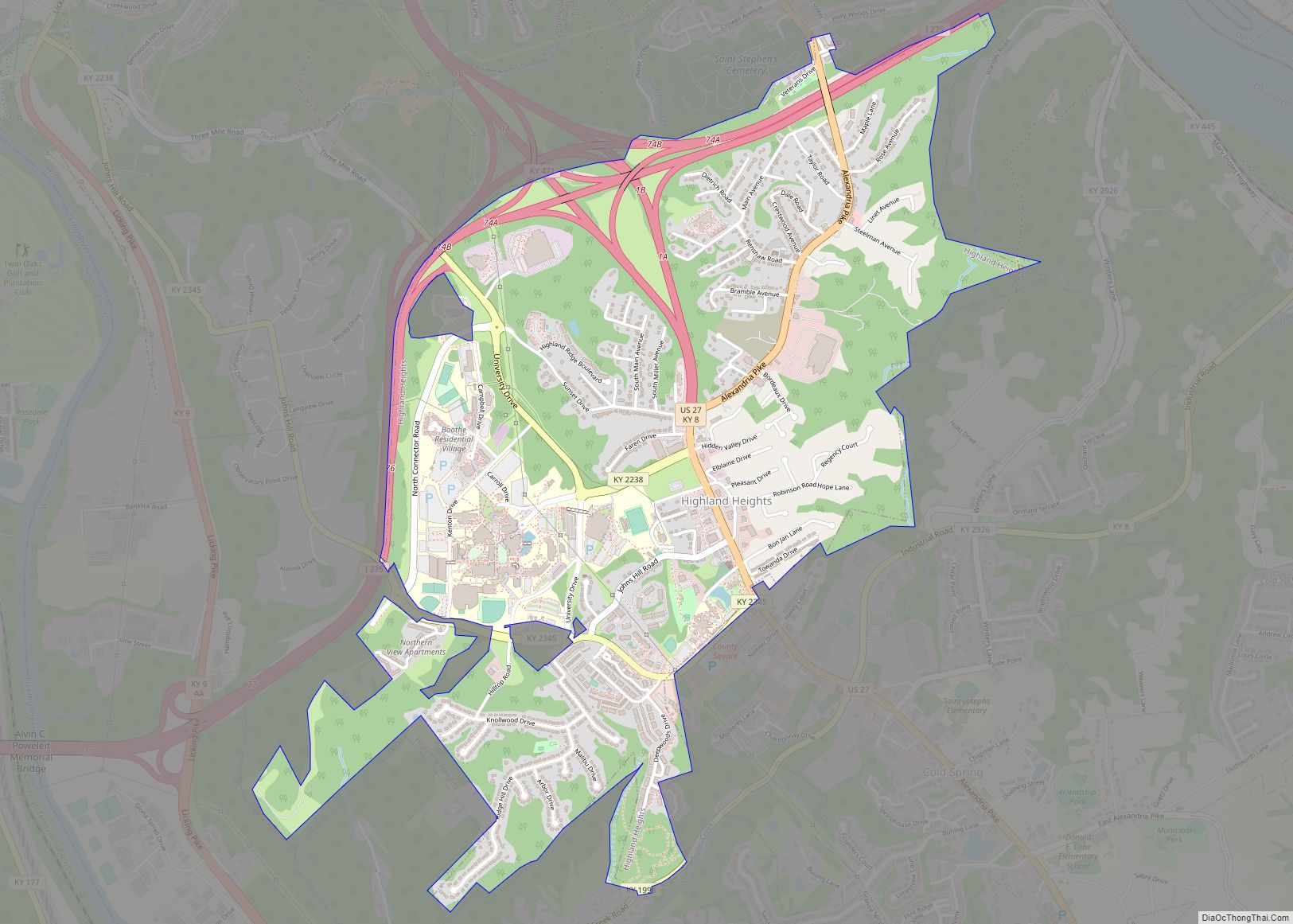
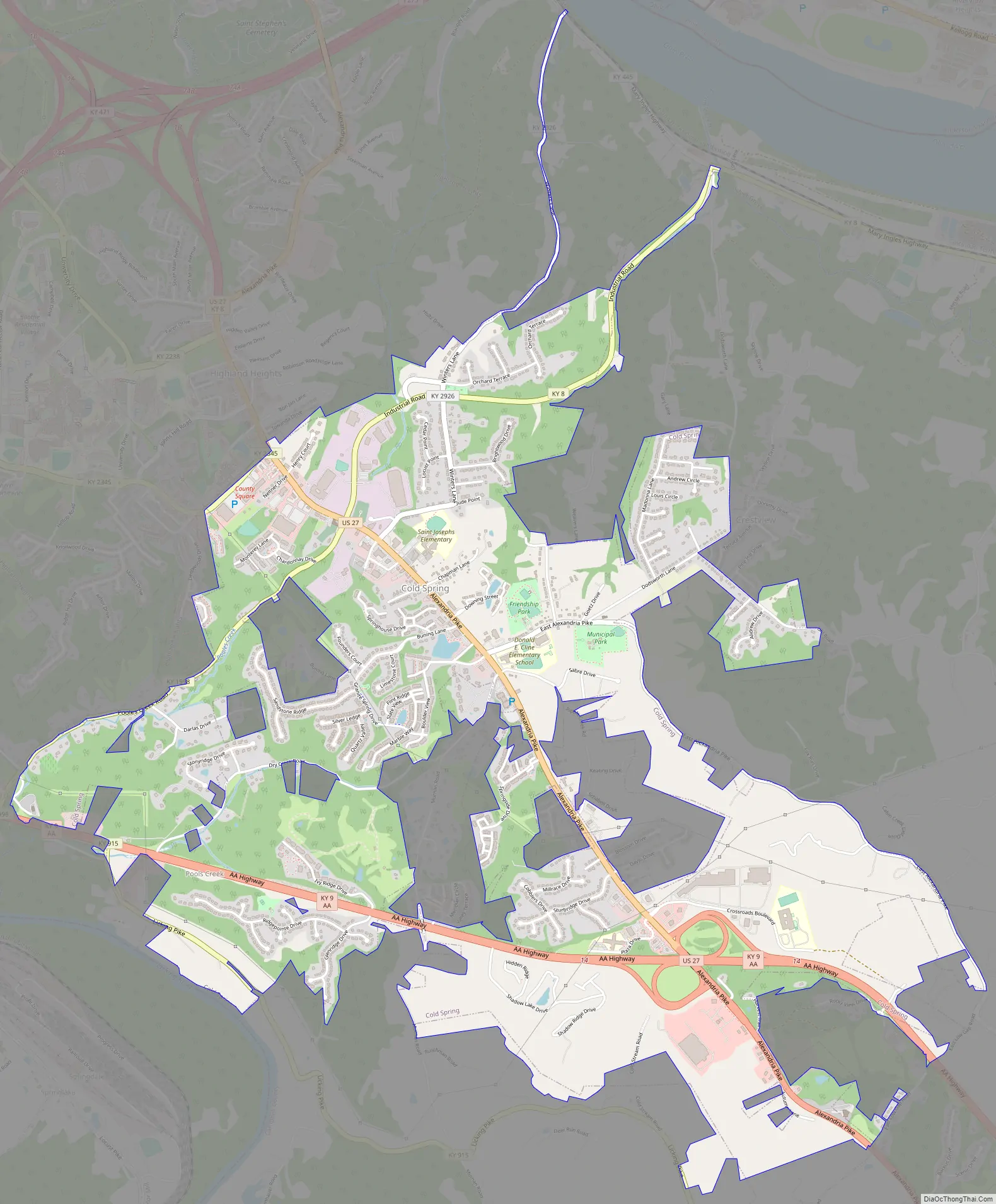
Cold Spring Road Map
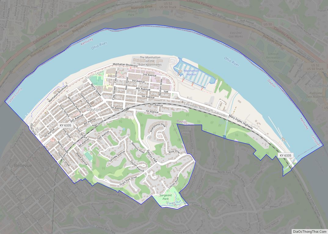
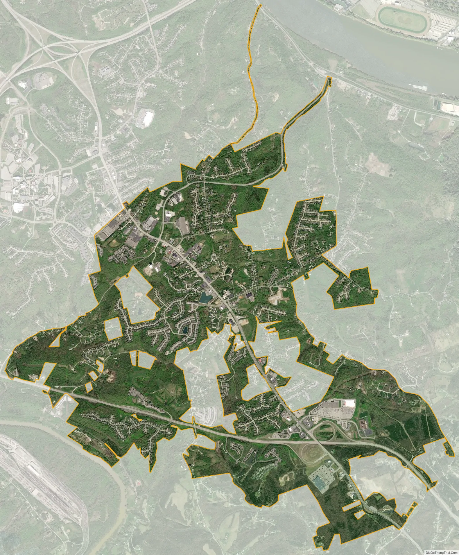
Cold Spring city Satellite Map
Geography
Cold Spring is located in northern Campbell County at 39°0′50″N 84°26′0″W / 39.01389°N 84.43333°W / 39.01389; -84.43333 (39.013769, −84.433392). It is bordered to the northwest by Wilder, to the north by Highland Heights, to the northeast by Crestview, to the southeast by Alexandria, and to the southwest by the Licking River, with the city of Taylor Mill in Kenton County on the other side.
U.S. Route 27 passes through Cold Spring as Alexandria Pike, leading northwest 8 miles (13 km) to downtown Cincinnati and southeast 5 miles (8 km) to Alexandria. Kentucky Route 9, a limited-access highway, also passes through Cold Spring, leading northwest to Newport across the Ohio River from Cincinnati, and southeast to Maysville and beyond.
According to the United States Census Bureau, Cold Spring has a total area of 4.7 square miles (12.3 km), all land.
See also
Map of Kentucky State and its subdivision:- Adair
- Allen
- Anderson
- Ballard
- Barren
- Bath
- Bell
- Boone
- Bourbon
- Boyd
- Boyle
- Bracken
- Breathitt
- Breckinridge
- Bullitt
- Butler
- Caldwell
- Calloway
- Campbell
- Carlisle
- Carroll
- Carter
- Casey
- Christian
- Clark
- Clay
- Clinton
- Crittenden
- Cumberland
- Daviess
- Edmonson
- Elliott
- Estill
- Fayette
- Fleming
- Floyd
- Franklin
- Fulton
- Gallatin
- Garrard
- Grant
- Graves
- Grayson
- Green
- Greenup
- Hancock
- Hardin
- Harlan
- Harrison
- Hart
- Henderson
- Henry
- Hickman
- Hopkins
- Jackson
- Jefferson
- Jessamine
- Johnson
- Kenton
- Knott
- Knox
- Larue
- Laurel
- Lawrence
- Lee
- Leslie
- Letcher
- Lewis
- Lincoln
- Livingston
- Logan
- Lyon
- Madison
- Magoffin
- Marion
- Marshall
- Martin
- Mason
- McCracken
- McCreary
- McLean
- Meade
- Menifee
- Mercer
- Metcalfe
- Monroe
- Montgomery
- Morgan
- Muhlenberg
- Nelson
- Nicholas
- Ohio
- Oldham
- Owen
- Owsley
- Pendleton
- Perry
- Pike
- Powell
- Pulaski
- Robertson
- Rockcastle
- Rowan
- Russell
- Scott
- Shelby
- Simpson
- Spencer
- Taylor
- Todd
- Trigg
- Trimble
- Union
- Warren
- Washington
- Wayne
- Webster
- Whitley
- Wolfe
- Woodford
- Alabama
- Alaska
- Arizona
- Arkansas
- California
- Colorado
- Connecticut
- Delaware
- District of Columbia
- Florida
- Georgia
- Hawaii
- Idaho
- Illinois
- Indiana
- Iowa
- Kansas
- Kentucky
- Louisiana
- Maine
- Maryland
- Massachusetts
- Michigan
- Minnesota
- Mississippi
- Missouri
- Montana
- Nebraska
- Nevada
- New Hampshire
- New Jersey
- New Mexico
- New York
- North Carolina
- North Dakota
- Ohio
- Oklahoma
- Oregon
- Pennsylvania
- Rhode Island
- South Carolina
- South Dakota
- Tennessee
- Texas
- Utah
- Vermont
- Virginia
- Washington
- West Virginia
- Wisconsin
- Wyoming