Newport is a home rule-class city at the confluence of the Ohio and Licking rivers in Campbell County, Kentucky. The population was 15,273 at the 2010 census. Historically, it was one of four county seats of Campbell County. Newport is a major urban center of Northern Kentucky and part of the Cincinnati metropolitan area, which includes over two million residents.
| Name: | Newport city |
|---|---|
| LSAD Code: | 25 |
| LSAD Description: | city (suffix) |
| State: | Kentucky |
| County: | Campbell County |
| Elevation: | 512 ft (156 m) |
| Total Area: | 3.01 sq mi (7.80 km²) |
| Land Area: | 2.75 sq mi (7.14 km²) |
| Water Area: | 0.26 sq mi (0.66 km²) |
| Total Population: | 14,150 |
| Population Density: | 5,136.12/sq mi (1,982.99/km²) |
| ZIP code: | 41071-41072 |
| Area code: | 859 |
| FIPS code: | 2155884 |
| GNISfeature ID: | 0499438 |
| Website: | www.newportky.gov |
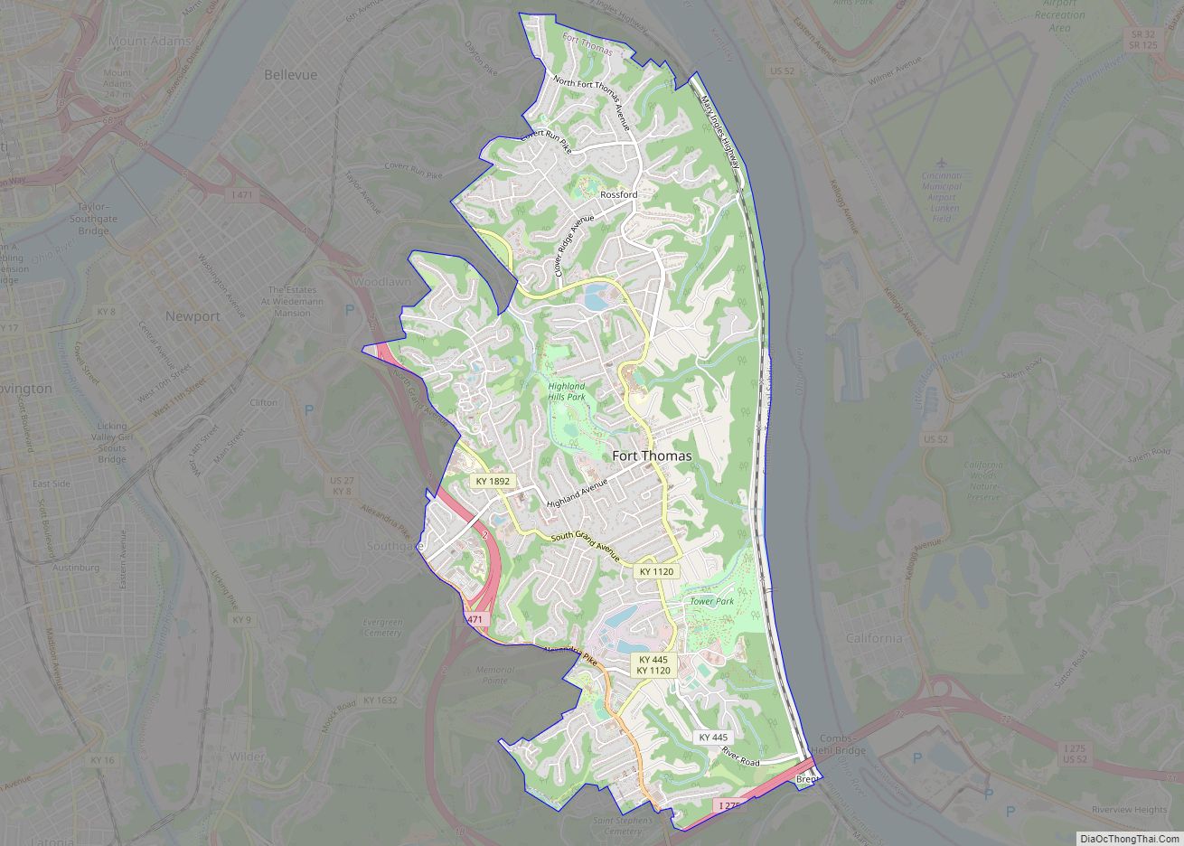
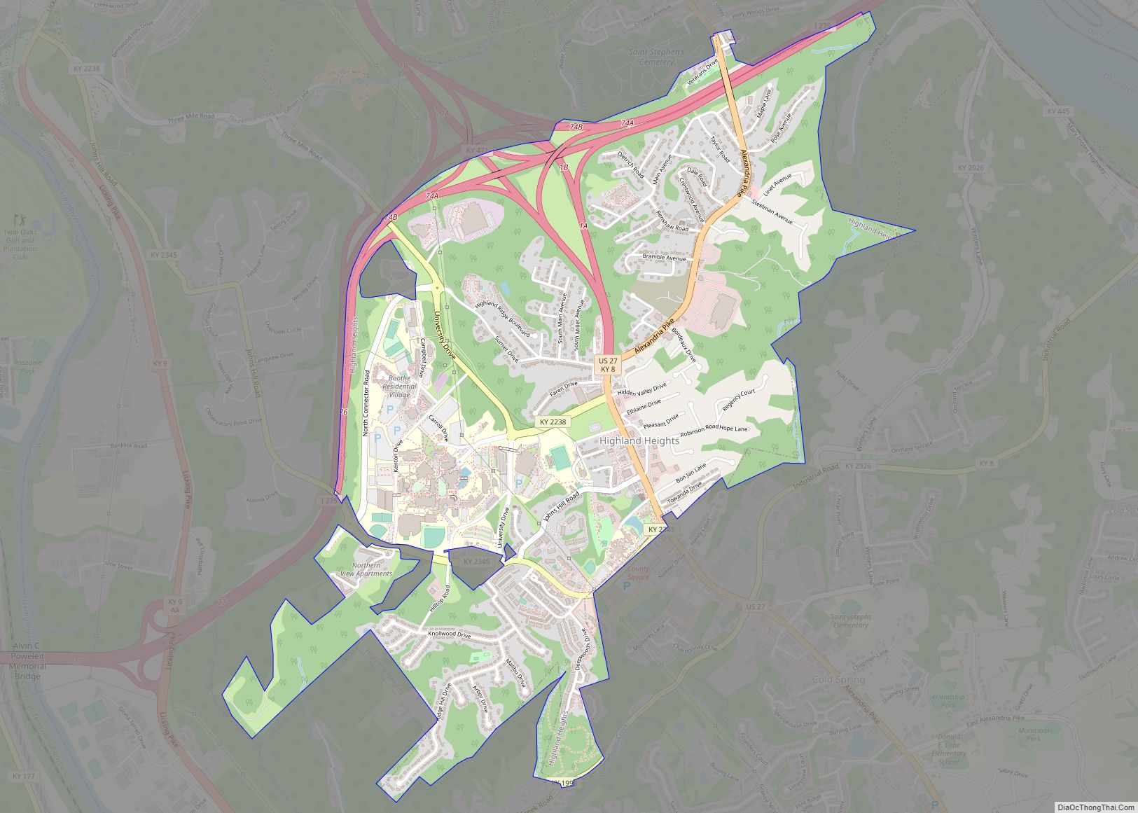
Online Interactive Map
Click on ![]() to view map in "full screen" mode.
to view map in "full screen" mode.
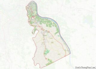
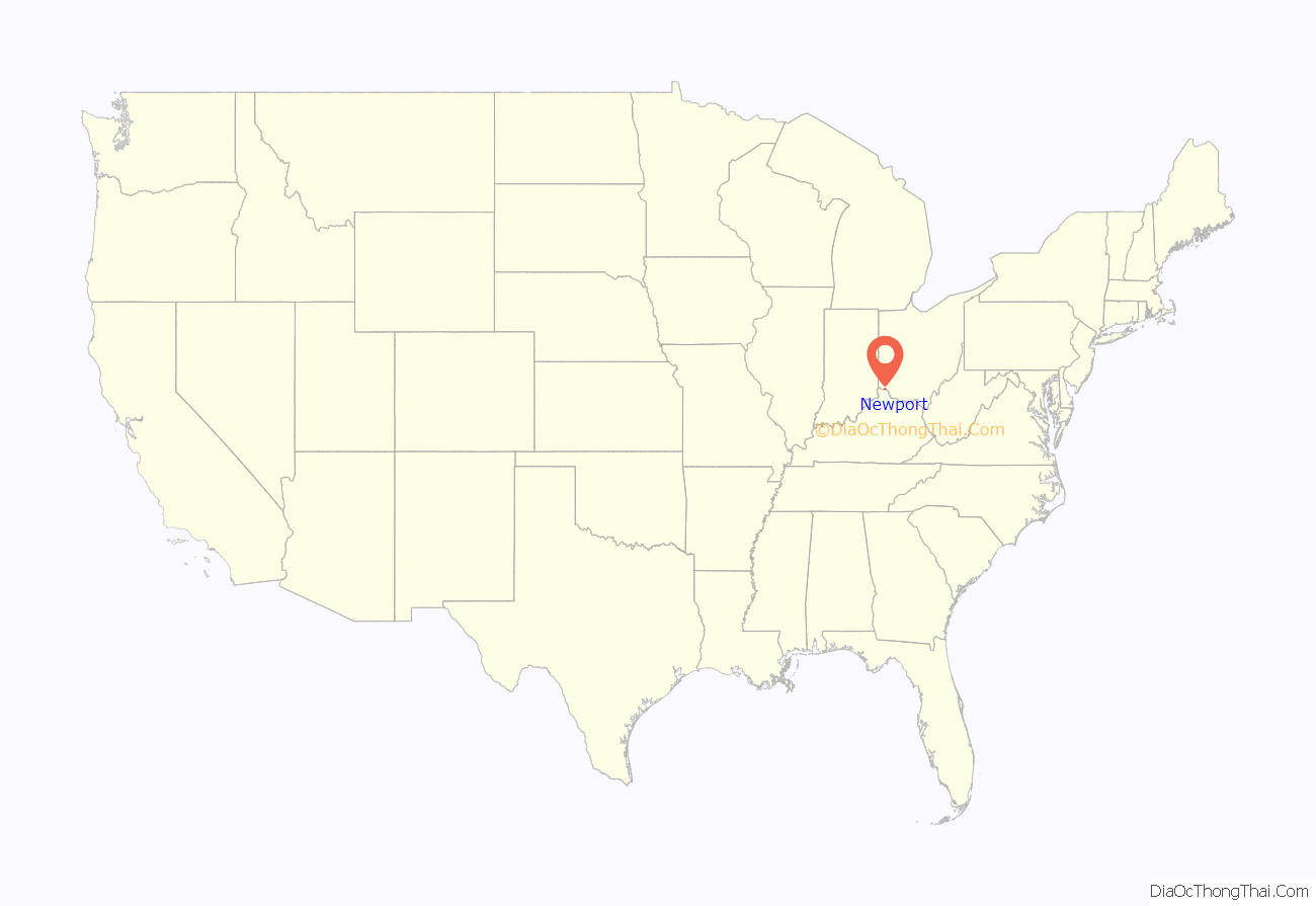
Newport location map. Where is Newport city?
History
Newport was settled c. 1791 by James Taylor Jr. on land purchased by his father James Sr. from George Muse, who received it as a grant. Taylor’s brother, Hubbard Taylor, had been mapping the land twenty years prior. It was not named for its position on the river but for Christopher Newport, the commander of the first ship to reach Jamestown, Virginia, in 1607. Newport was established as a town on December 14, 1795, and incorporated as a city on February 24, 1834. In 1803, the Ft. Washington military post was moved from Cincinnati to become the Newport Barracks. A bridge first connected Newport to Covington in 1853, and the first bridge spanning the Ohio River to Cincinnati, the John A. Roebling Suspension Bridge, opened in 1866. Newport experienced large German immigration in the 1880-90s.
By 1900, Newport was the third largest city in Kentucky, after Covington and Louisville, although Newport and Covington were rightly considered satellites of Cincinnati.
Prohibition under the Volstead Act of 1919 resulted in a widespread illegal sale of alcohol. Many gangsters began to smuggle alcohol into the city to supply citizens and businesses. Speakeasies, bribery, and corruption became a norm in Newport. A well known Newport crime boss was gambler and National Crime Syndicate member Ed Levinson.
Newport’s worst natural disaster occurred in 1937, when a flood covered a great part of the city. A flood wall was completed in 1948, and remains a significant part of Newport’s landscape.
Newport once had the reputation of “Sin City” due to its upscale gambling casinos on Monmouth street. Monmouth also had many men’s stores, restaurants, and ice cream parlors. Investigations for racketeering pushed out the casinos, which were replaced by peep shows and adult strip clubs. Many of the old businesses disappeared when parking became difficult on Monmouth Street and the commercial district opened on the hill of south Newport.
A garage at 938 John Street manufacturing illegal fireworks exploded without warning in 1981, leaving severe damage up to a six-block radius.
In the 1980s and 1990s, Newport made plans to develop its riverfront and core to focus primarily on “family friendly” tourism, instead of the “Sin City” tourism of the past. In May 1999 the $40-million Newport Aquarium opened, and the historic Posey Flats apartments were leveled in favor of the Newport on the Levee entertainment complex, which opened the following year.
In 1997 plans for a 1,015-foot (309 m) structure called the “Millennium Tower” were revealed. The tower’s main selling point was that building it would be financed by private money, as opposed to taxpayer money. Mick Nelson also heads up the expo at the levee in Newport. The tower was expected to be completed by 2003, but investors later pulled out and no construction was done. Today the site for the tower is a parking lot next to the World Peace Bell.
Today, Newport is becoming the entertainment community of the fast-growing Northern Kentucky area while its neighboring cities—Bellevue and Covington—become the business centers.
Timeline
- 1791 – Settlement laid out.
- 1795 – Town of Newport incorporated.
- 1796 – Campbell County Courthouse built.
- 1798 – Newport Academy founded.
- 1800 – Population: 106.
- 1804 – Newport Barracks established.
- 1812 – James Taylor mansion built.
- 1821 – Southgate house built (approximate date).
- 1831 – Taylor Methodist Episcopal Church built.
- 1834 – City of Newport chartered.
- 1836 – Newport Lyceum founded.
- 1844 – Silk factory begins operating.
- 1847 – Public school begins operating.
- 1850 – Washington Fire Engine and Hose Company (volunteer firefighters) established.
- 1859 – October 28: “Mob destroys the plant of the True South, abolition paper.”
- 1860
- Public high school begins operating.
- Population: 10,046.
- 1866 – John A. Roebling Suspension Bridge opens near Newport.
- 1869 – John Butcher Brewery (later Wiedemann) in business.
- 1870 – Population: 15,087.
- 1871 – St. Paul’s Episcopal Church built.
- 1872 – Newport and Cincinnati Bridge opens.
- 1873 – Southgate St. School established.
- 1880 – Population: 20,433.
- 1883 – Ohio River flood.
- 1884
- Ohio River flood.
- Campbell County Courthouse rebuilt.
- 1888 – U.S. military Fort Thomas established near Newport.
- 1890 – Cincinnati–Newport Bridge opens.
- 1891
- Andrews Steel Mill in business.
- George Ahlering elected mayor.
- 1898 – Ohio River flood.
- 1900 – Population: 28,301.
- 1902 – Carnegie Free Library opens.
- 1910 – Population: 30,309.
- 1913 – Ohio River flood.
- 1921 – Steel worker labor strike begins.
- 1924 – Cote Brilliante becomes part of Newport.
- 1927 – Newport Finance Building constructed.
- 1930 – City-manager form of government adopted.
- 1935 – Clifton becomes part of Newport.
- 1936 – Ingalls Park becomes part of Newport.
- 1937 – Flood.
- 1948 – Floodwall built.
- 1955 – The all-boys Newport Catholic High School opens a new campus on Carothers Road. The facility remains in use today by its coeducational successor, Newport Central Catholic High School.
- 1956 – Newport Shopping Center in business.
- 1961
- Anti-corruption “Committee of 500” formed.
- George Ratterman becomes county sheriff.
- 1973 – Regional Transit Authority of Northern Kentucky (public transit) established.
- 1975 – Newport News begins publication.
- 1976 – Daniel Carter Beard Bridge opens.
- 1978 – Campbell County Public Library established.
- 1980
- Irene Deaton becomes first female mayor of Newport.
- Mansion Hill designated an historic district.
- 1983
- Steve Goetz elected mayor.
- Newport Central Catholic High School is created by the merger of the all-boys Newport Catholic High School and all-girls Our Lady of Providence Academy.
- 1990 – Campbell County Historical Society founded.
- 1992 – Tom Guidugli becomes mayor.
- 1995 – Taylor–Southgate Bridge opens.
- 1999 – Newport Aquarium opens.
- 2000 – Population: 17,048.
- 2001 – Newport on the Levee “entertainment complex” in business.
- 2004 – L&N Bridge pedestrianized.
- 2005 – Geoff Davis becomes U.S. representative for Kentucky’s 4th congressional district.
- 2008 – Jerry Peluso elected mayor.
- 2010 – Population: 15,273.
- 2012 – Thomas Massie becomes U.S. representative for Kentucky’s 4th congressional district.
- 2021 – Thomas Guidugli, Jr elected mayor
County seat
Newport is a county seat of Campbell County, and was previously a county seat from 1797 until 1823, and again from 1824 until 1840. In the 19th century, the overwhelming majority of the population lived in Newport and the surrounding cities. Many citizens did not like traveling south to Alexandria to conduct county business, as southern Campbell County was primarily undeveloped.
In 1883, Newport successfully lobbied the state legislature for an exception to state law, which both required that a county seat be located in the center of the county, and that certain county business only be conducted at the county seat. Frankfort passed a special law, creating the Newport Court House District, and within that district, the Newport Courthouse Commission which functioned as a special taxing district, so that an additional courthouse could be built, and business could take place in Newport, in addition to Alexandria. In 2008, the Kentucky General Assembly removed the taxing authority from the Courthouse Commission, but left the District and Commission intact.
In 2009, a court ruled that Alexandria is the only county seat, and Newport is not a county seat. On November 24, 2010, the Kentucky Court of Appeals disagreed, and granted Newport equal status as a county seat. On August 25, 2011, the Supreme Court of Kentucky denied review of the appellate decision.
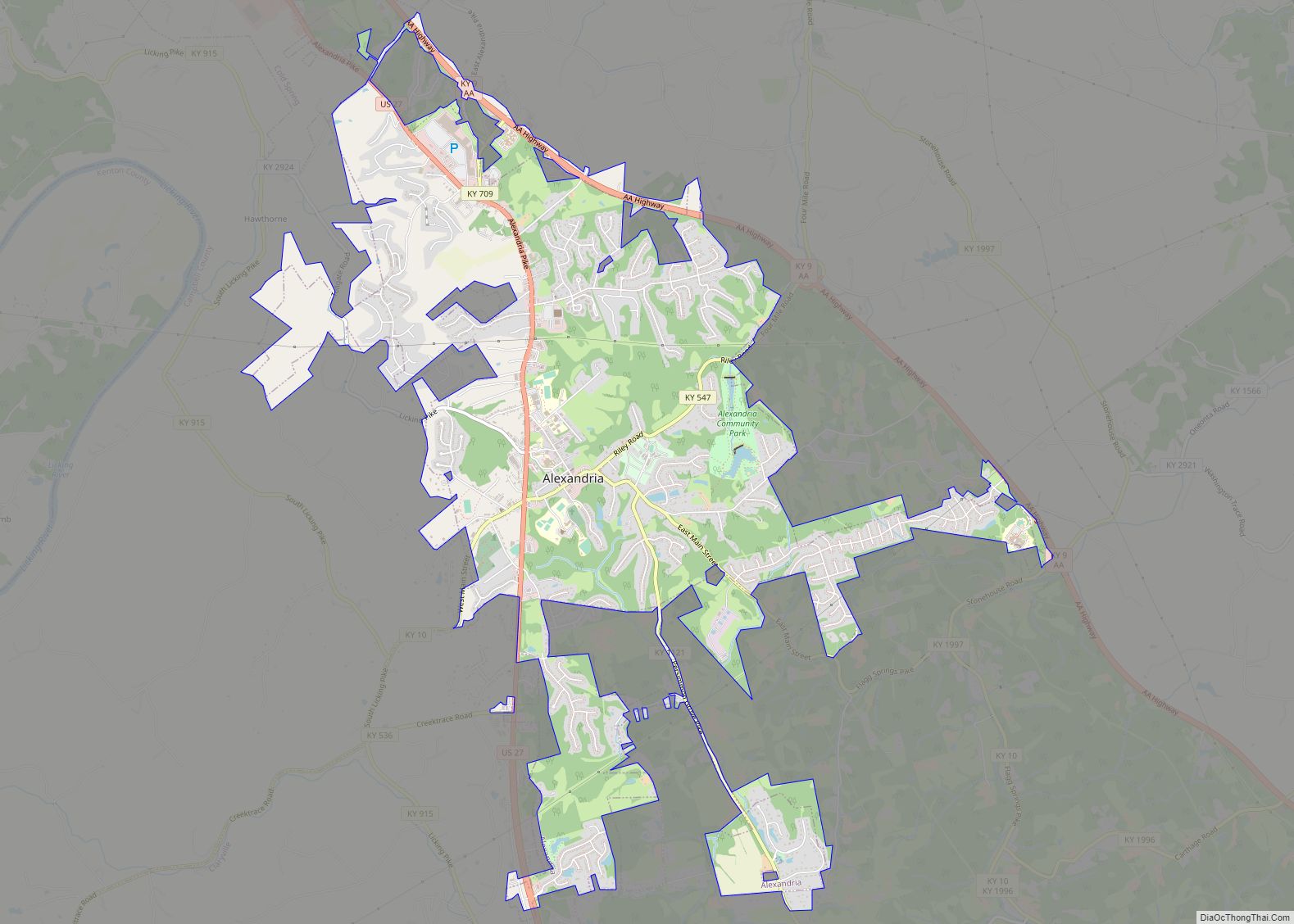
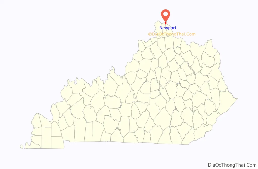
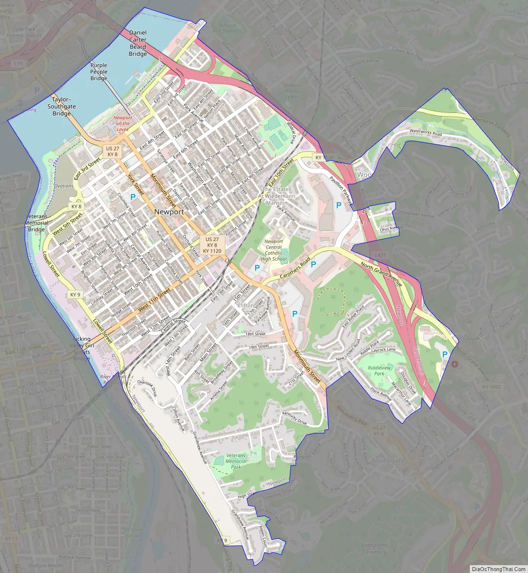
Newport Road Map
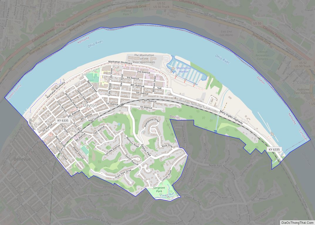
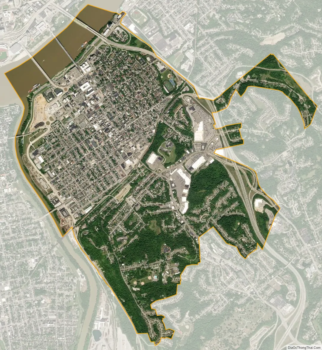
Newport city Satellite Map
Geography
Newport is located at 39°5′19″N 84°29′25″W / 39.08861°N 84.49028°W / 39.08861; -84.49028 (39.088661, −84.490206).
According to the United States Census Bureau, the city has a total area of 3.0 square miles (7.8 km), of which 2.7 square miles (7.0 km) is land and 0.2 square miles (0.52 km) (8.42%) is water.
Newport is located within the Bluegrass region found in the Upland South of the United States of America. Newport is also commonly referred to as being located in the Midwest. Either description of Upland South or Midwest is acceptable, as Newport is located at the boundary between those regions.
Climate
Newport is located within a transition zone and is proximal to the extreme northern limit of the humid subtropical climate of the Southeastern United States.
See also
Map of Kentucky State and its subdivision:- Adair
- Allen
- Anderson
- Ballard
- Barren
- Bath
- Bell
- Boone
- Bourbon
- Boyd
- Boyle
- Bracken
- Breathitt
- Breckinridge
- Bullitt
- Butler
- Caldwell
- Calloway
- Campbell
- Carlisle
- Carroll
- Carter
- Casey
- Christian
- Clark
- Clay
- Clinton
- Crittenden
- Cumberland
- Daviess
- Edmonson
- Elliott
- Estill
- Fayette
- Fleming
- Floyd
- Franklin
- Fulton
- Gallatin
- Garrard
- Grant
- Graves
- Grayson
- Green
- Greenup
- Hancock
- Hardin
- Harlan
- Harrison
- Hart
- Henderson
- Henry
- Hickman
- Hopkins
- Jackson
- Jefferson
- Jessamine
- Johnson
- Kenton
- Knott
- Knox
- Larue
- Laurel
- Lawrence
- Lee
- Leslie
- Letcher
- Lewis
- Lincoln
- Livingston
- Logan
- Lyon
- Madison
- Magoffin
- Marion
- Marshall
- Martin
- Mason
- McCracken
- McCreary
- McLean
- Meade
- Menifee
- Mercer
- Metcalfe
- Monroe
- Montgomery
- Morgan
- Muhlenberg
- Nelson
- Nicholas
- Ohio
- Oldham
- Owen
- Owsley
- Pendleton
- Perry
- Pike
- Powell
- Pulaski
- Robertson
- Rockcastle
- Rowan
- Russell
- Scott
- Shelby
- Simpson
- Spencer
- Taylor
- Todd
- Trigg
- Trimble
- Union
- Warren
- Washington
- Wayne
- Webster
- Whitley
- Wolfe
- Woodford
- Alabama
- Alaska
- Arizona
- Arkansas
- California
- Colorado
- Connecticut
- Delaware
- District of Columbia
- Florida
- Georgia
- Hawaii
- Idaho
- Illinois
- Indiana
- Iowa
- Kansas
- Kentucky
- Louisiana
- Maine
- Maryland
- Massachusetts
- Michigan
- Minnesota
- Mississippi
- Missouri
- Montana
- Nebraska
- Nevada
- New Hampshire
- New Jersey
- New Mexico
- New York
- North Carolina
- North Dakota
- Ohio
- Oklahoma
- Oregon
- Pennsylvania
- Rhode Island
- South Carolina
- South Dakota
- Tennessee
- Texas
- Utah
- Vermont
- Virginia
- Washington
- West Virginia
- Wisconsin
- Wyoming