Crescent Springs is a home rule-class city in Kenton County, Kentucky, United States. The population was 3,801 at the 2010 census.
| Name: | Crescent Springs city |
|---|---|
| LSAD Code: | 25 |
| LSAD Description: | city (suffix) |
| State: | Kentucky |
| County: | Kenton County |
| Elevation: | 823 ft (251 m) |
| Total Area: | 1.51 sq mi (3.92 km²) |
| Land Area: | 1.49 sq mi (3.87 km²) |
| Water Area: | 0.02 sq mi (0.05 km²) |
| Total Population: | 4,319 |
| Population Density: | 2,890.90/sq mi (1,115.97/km²) |
| ZIP code: | 41017 |
| Area code: | 859 |
| FIPS code: | 2118352 |
| GNISfeature ID: | 0490326 |
| Website: | crescent-springs.ky.us |
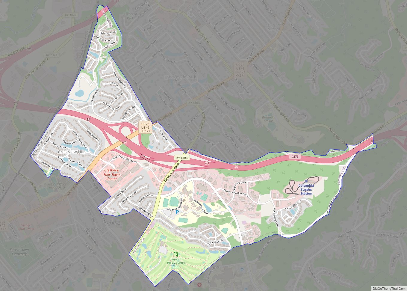
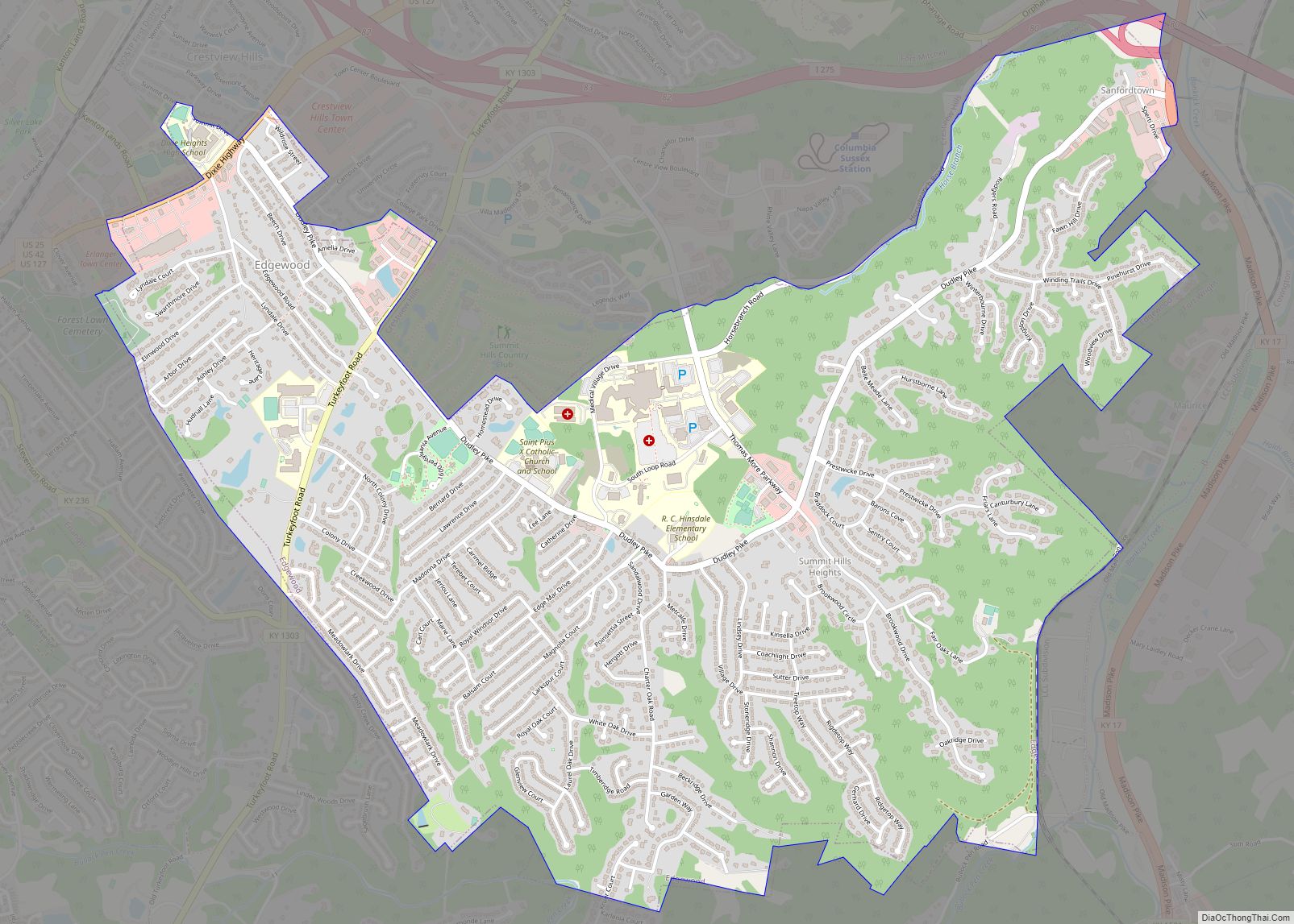
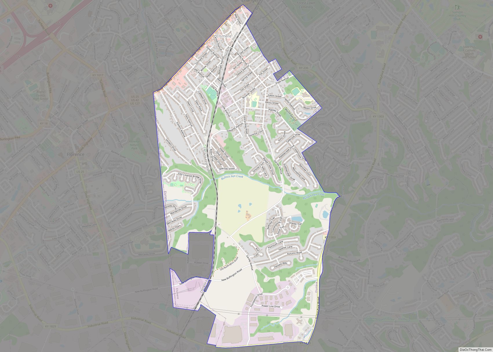
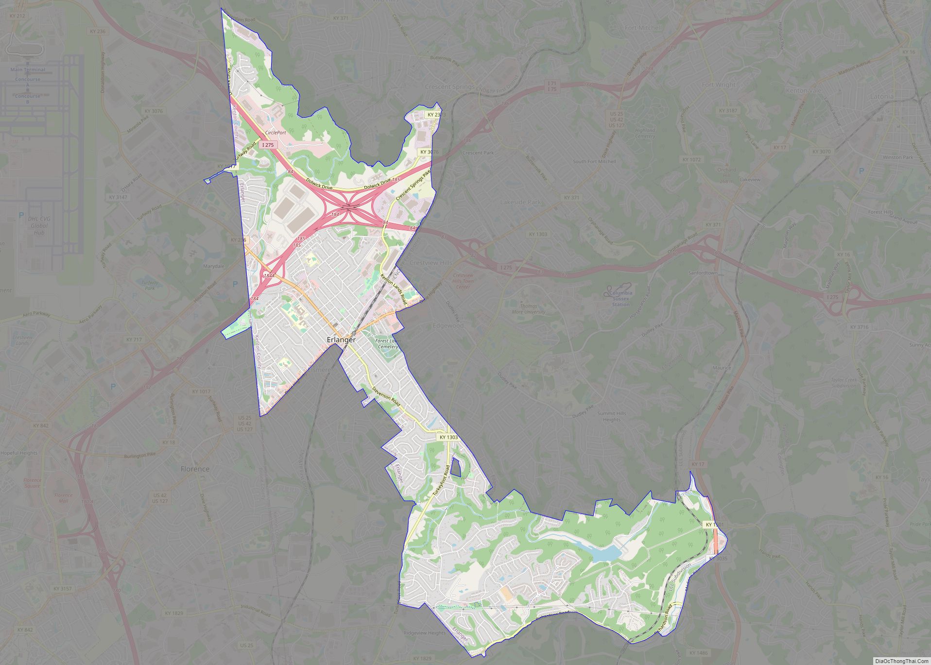
Online Interactive Map
Click on ![]() to view map in "full screen" mode.
to view map in "full screen" mode.
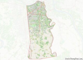
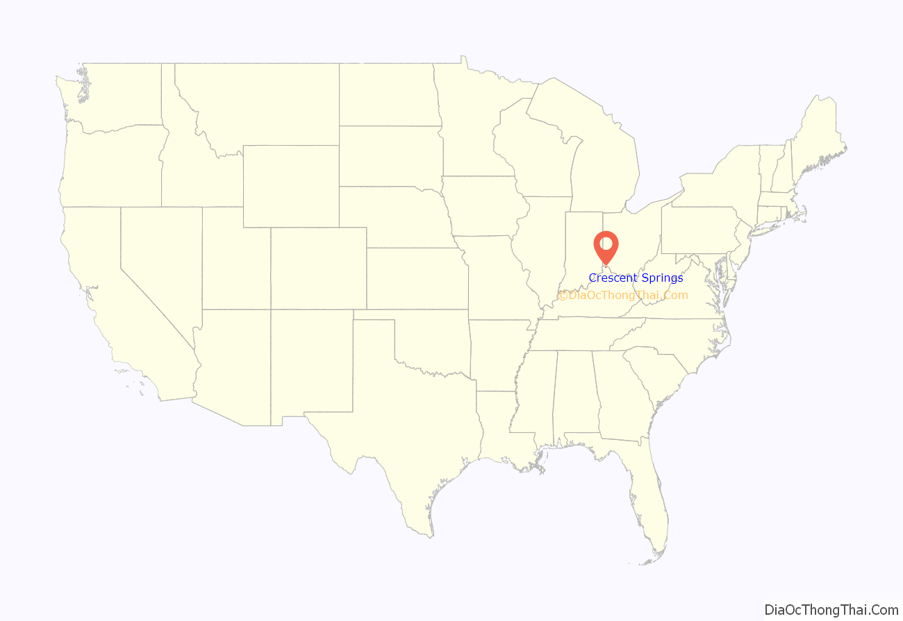
Crescent Springs location map. Where is Crescent Springs city?
History
Originally a stop on the Cincinnati Southern Railroad, the name Crescent Springs could refer to either the shape of the tracks crossing through the community or to New Orleans‘s nickname “the Crescent City” after its shape beside the Mississippi River. (New Orleans was the southern terminus of the Cincinnati Southern, from which it was sometimes known as the “Queen and Crescent Railroad”.)
In 1930, the International Labor Defense alleged that Crescent Springs was a sundown town where African Americans were not allowed to reside.
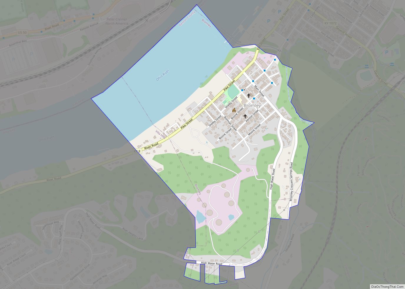
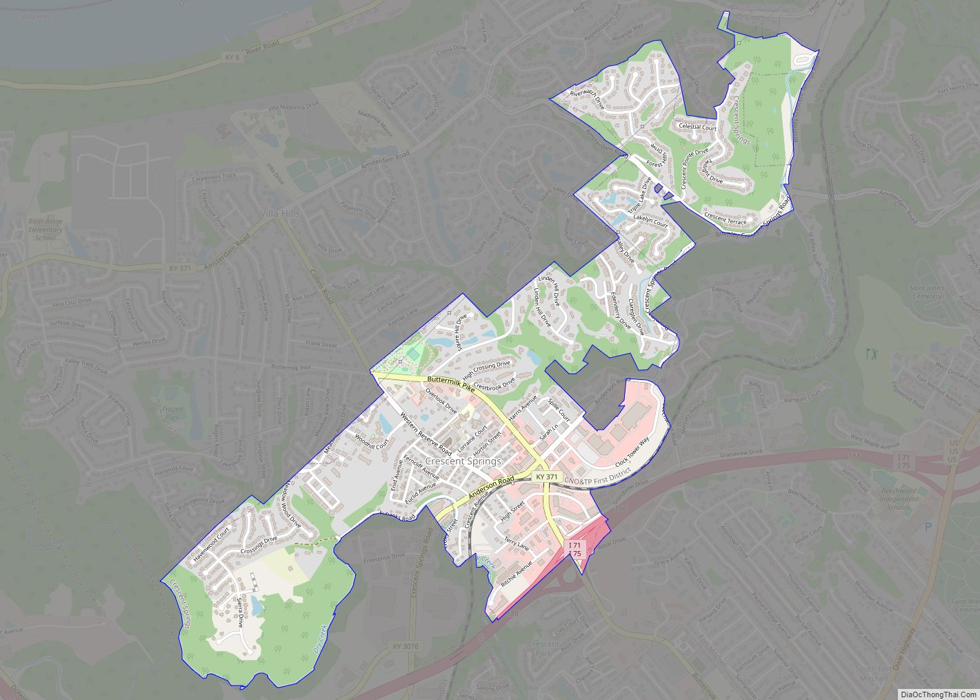
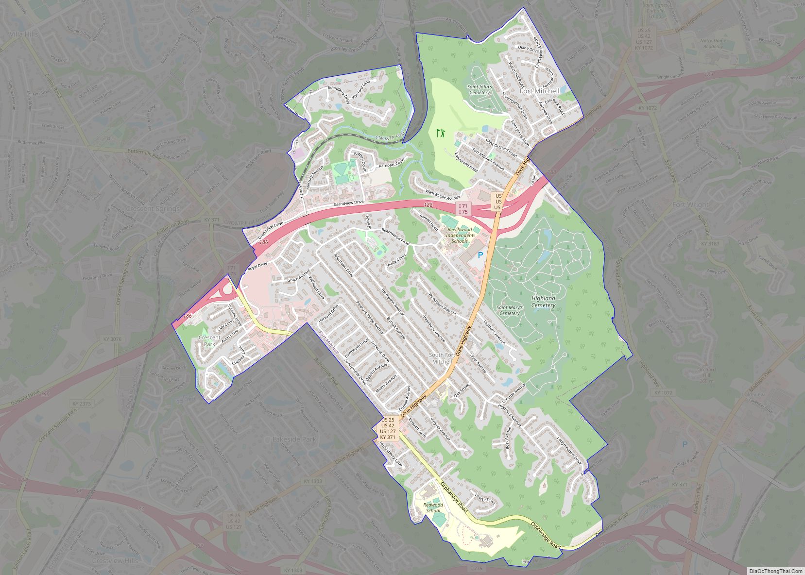
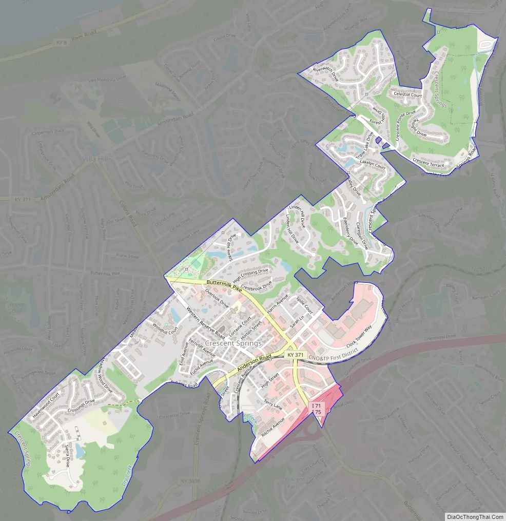
Crescent Springs Road Map
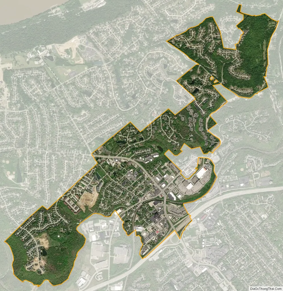
Crescent Springs city Satellite Map
Geography
Crescent Springs is located at 39°3′10″N 84°34′37″W / 39.05278°N 84.57694°W / 39.05278; -84.57694 (39.052711, -84.577058).
According to the United States Census Bureau, the city has a total area of 1.4 square miles (3.6 km), all land.
See also
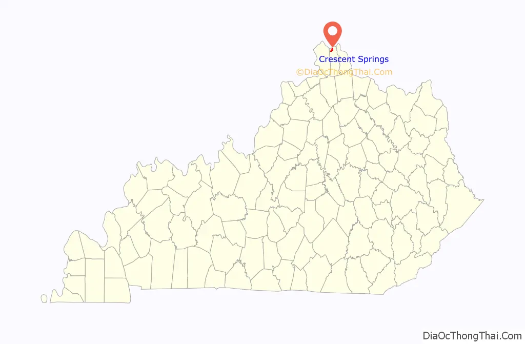
Map of Kentucky State and its subdivision:- Adair
- Allen
- Anderson
- Ballard
- Barren
- Bath
- Bell
- Boone
- Bourbon
- Boyd
- Boyle
- Bracken
- Breathitt
- Breckinridge
- Bullitt
- Butler
- Caldwell
- Calloway
- Campbell
- Carlisle
- Carroll
- Carter
- Casey
- Christian
- Clark
- Clay
- Clinton
- Crittenden
- Cumberland
- Daviess
- Edmonson
- Elliott
- Estill
- Fayette
- Fleming
- Floyd
- Franklin
- Fulton
- Gallatin
- Garrard
- Grant
- Graves
- Grayson
- Green
- Greenup
- Hancock
- Hardin
- Harlan
- Harrison
- Hart
- Henderson
- Henry
- Hickman
- Hopkins
- Jackson
- Jefferson
- Jessamine
- Johnson
- Kenton
- Knott
- Knox
- Larue
- Laurel
- Lawrence
- Lee
- Leslie
- Letcher
- Lewis
- Lincoln
- Livingston
- Logan
- Lyon
- Madison
- Magoffin
- Marion
- Marshall
- Martin
- Mason
- McCracken
- McCreary
- McLean
- Meade
- Menifee
- Mercer
- Metcalfe
- Monroe
- Montgomery
- Morgan
- Muhlenberg
- Nelson
- Nicholas
- Ohio
- Oldham
- Owen
- Owsley
- Pendleton
- Perry
- Pike
- Powell
- Pulaski
- Robertson
- Rockcastle
- Rowan
- Russell
- Scott
- Shelby
- Simpson
- Spencer
- Taylor
- Todd
- Trigg
- Trimble
- Union
- Warren
- Washington
- Wayne
- Webster
- Whitley
- Wolfe
- Woodford
- Alabama
- Alaska
- Arizona
- Arkansas
- California
- Colorado
- Connecticut
- Delaware
- District of Columbia
- Florida
- Georgia
- Hawaii
- Idaho
- Illinois
- Indiana
- Iowa
- Kansas
- Kentucky
- Louisiana
- Maine
- Maryland
- Massachusetts
- Michigan
- Minnesota
- Mississippi
- Missouri
- Montana
- Nebraska
- Nevada
- New Hampshire
- New Jersey
- New Mexico
- New York
- North Carolina
- North Dakota
- Ohio
- Oklahoma
- Oregon
- Pennsylvania
- Rhode Island
- South Carolina
- South Dakota
- Tennessee
- Texas
- Utah
- Vermont
- Virginia
- Washington
- West Virginia
- Wisconsin
- Wyoming