Erlanger is a home rule-class city in Kenton County, Kentucky, United States. It had a 2010 census population of 18,368. Erlanger is part of the Cincinnati-Middletown, OH-KY-IN Metropolitan Statistical Area.
| Name: | Erlanger city |
|---|---|
| LSAD Code: | 25 |
| LSAD Description: | city (suffix) |
| State: | Kentucky |
| County: | Kenton County |
| Elevation: | 912 ft (278 m) |
| Total Area: | 8.55 sq mi (22.13 km²) |
| Land Area: | 8.38 sq mi (21.70 km²) |
| Water Area: | 0.17 sq mi (0.44 km²) |
| Total Population: | 19,611 |
| Population Density: | 2,341.05/sq mi (903.84/km²) |
| ZIP code: | 41018 |
| Area code: | 859 |
| FIPS code: | 2125300 |
| GNISfeature ID: | 0491808 |
| Website: | http://erlangerky.gov/ |
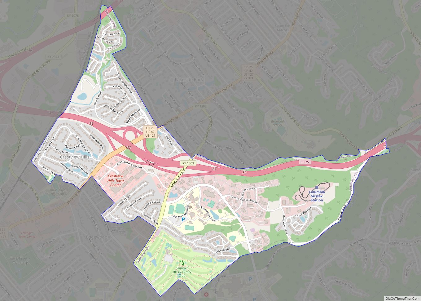
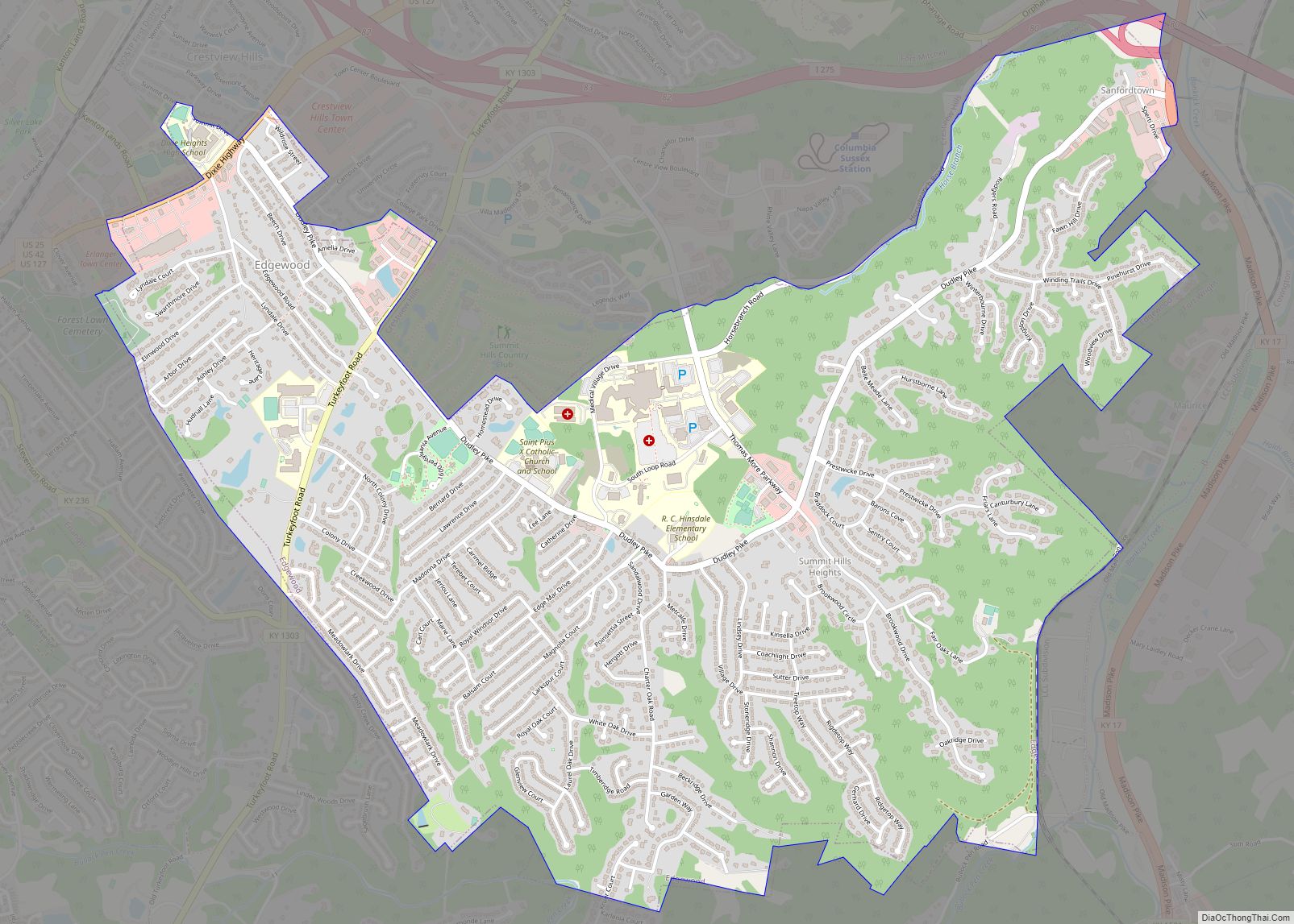
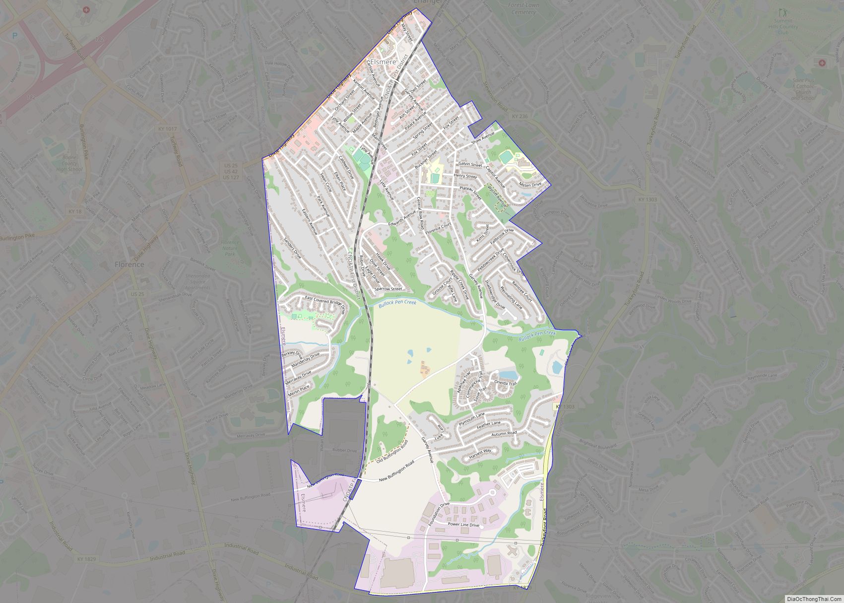
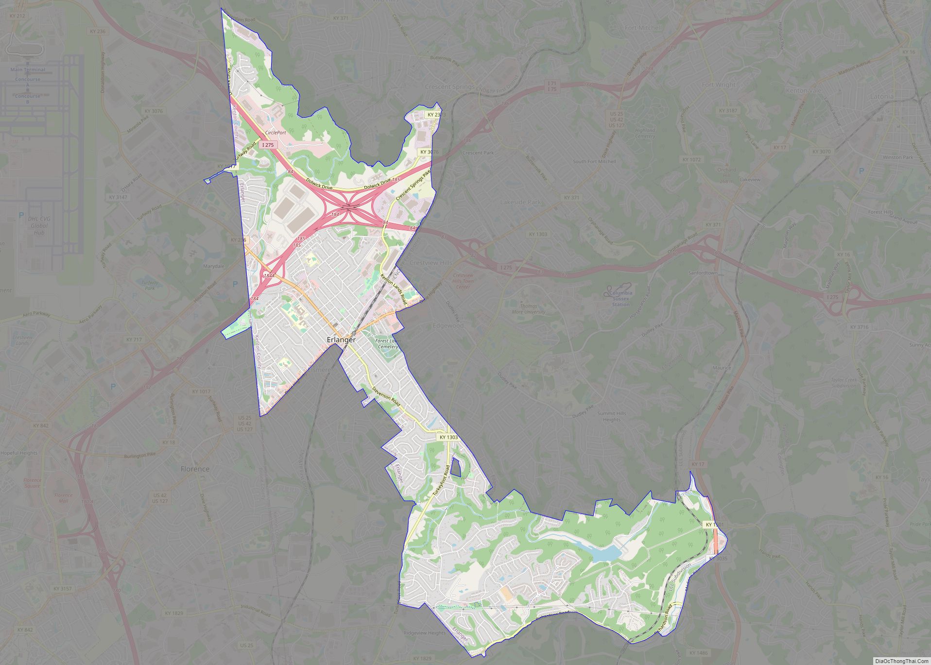
Online Interactive Map
Click on ![]() to view map in "full screen" mode.
to view map in "full screen" mode.
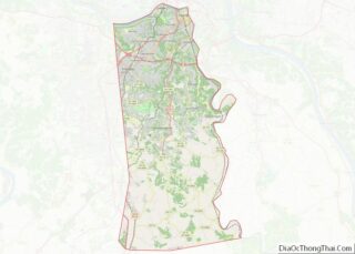
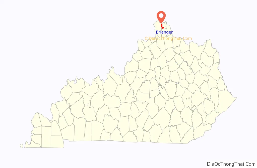
Erlanger location map. Where is Erlanger city?

History
Erlanger was founded in the 1880s. The city was named after the Parisian family bank Emile Erlanger & Co. and its founder, Baron Frédéric Émile d’Erlanger, who helped finance the town’s early development. In current usage, the name is pronounced in an anglicized way, with neither a French nor German accent. Nearby Elsmere was originally known as “South Erlanger”.
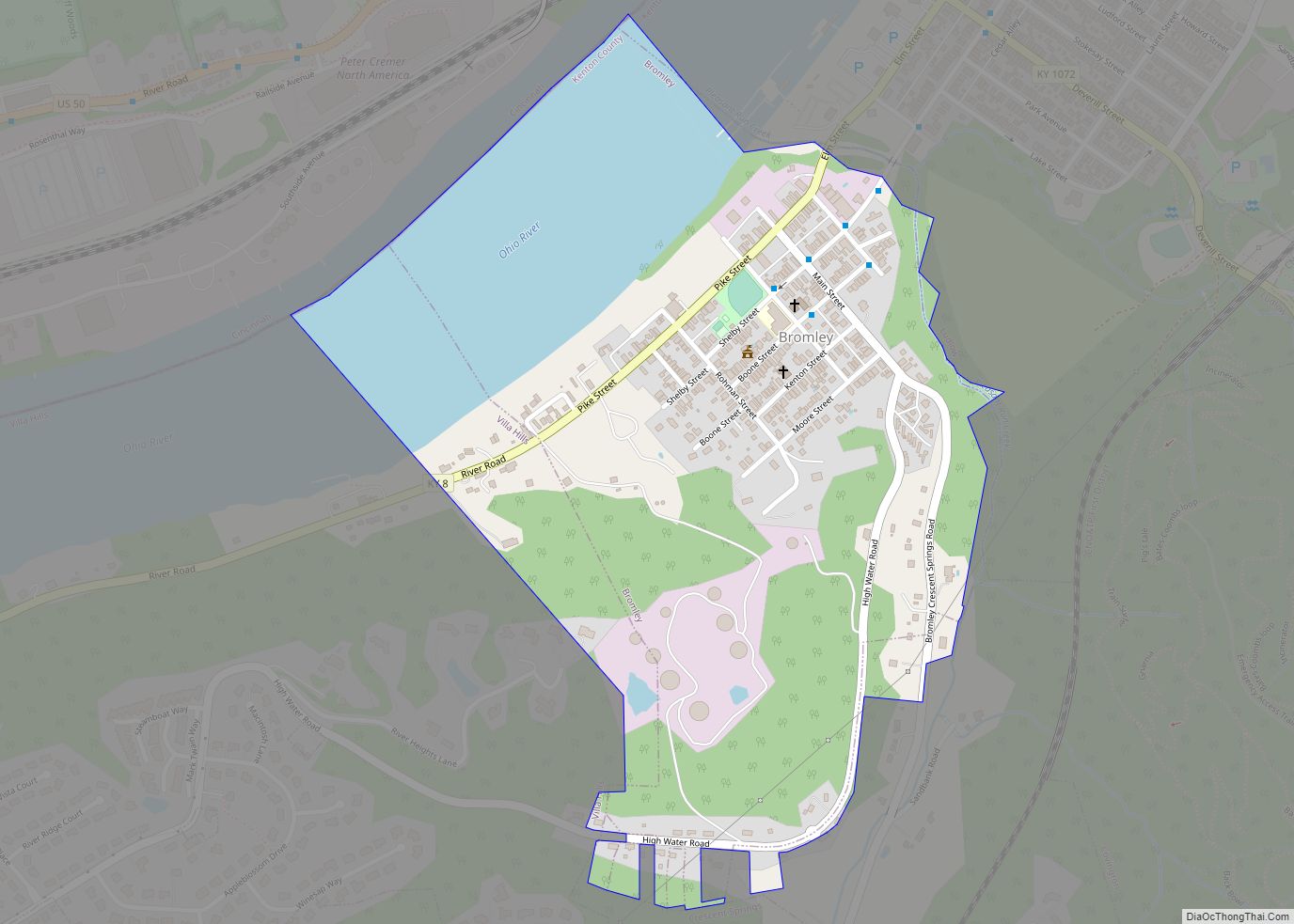
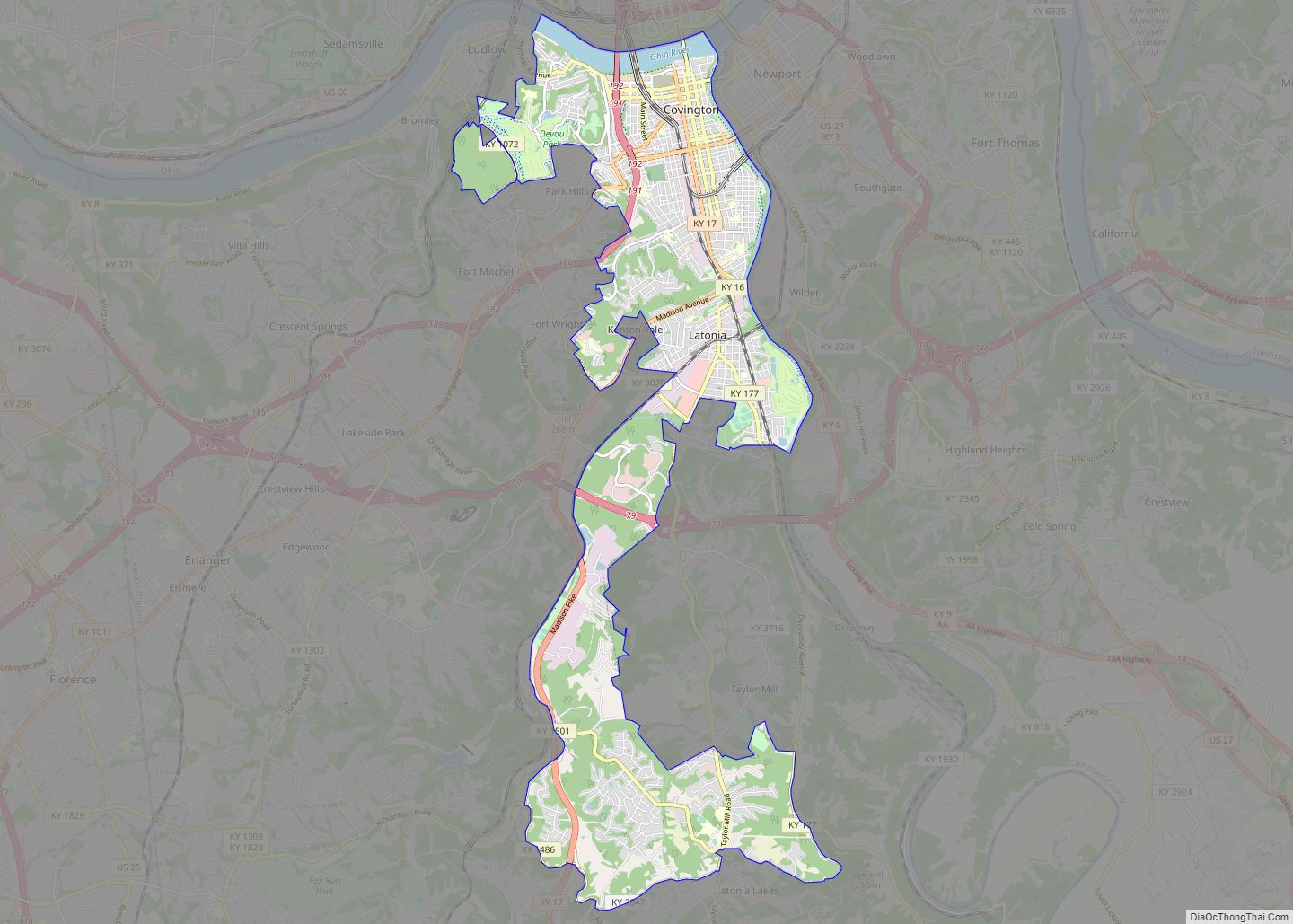
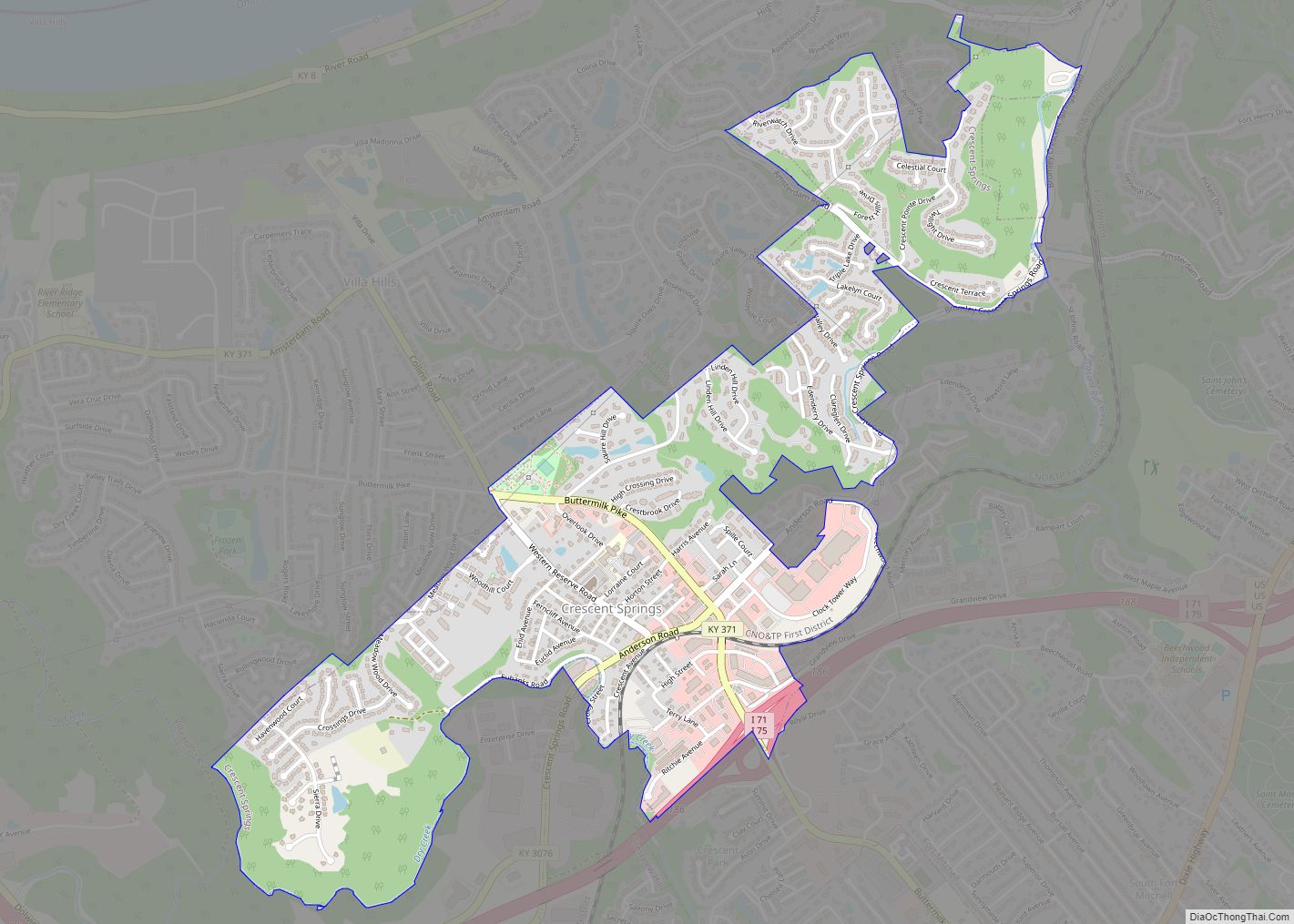
Erlanger Road Map
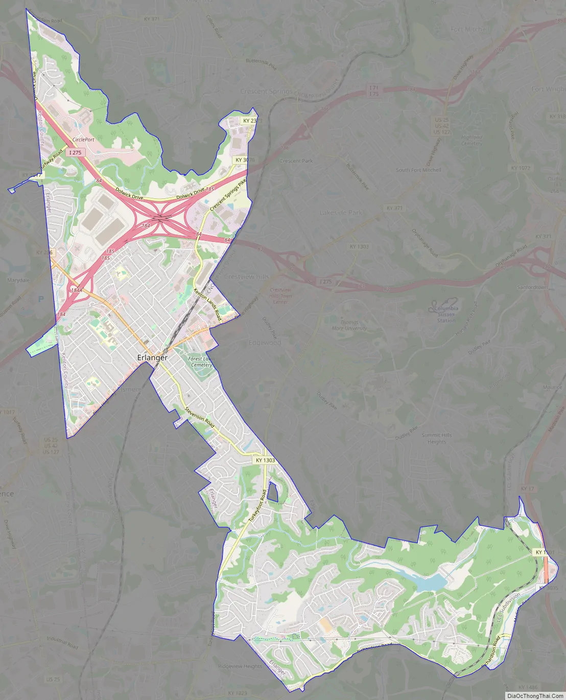
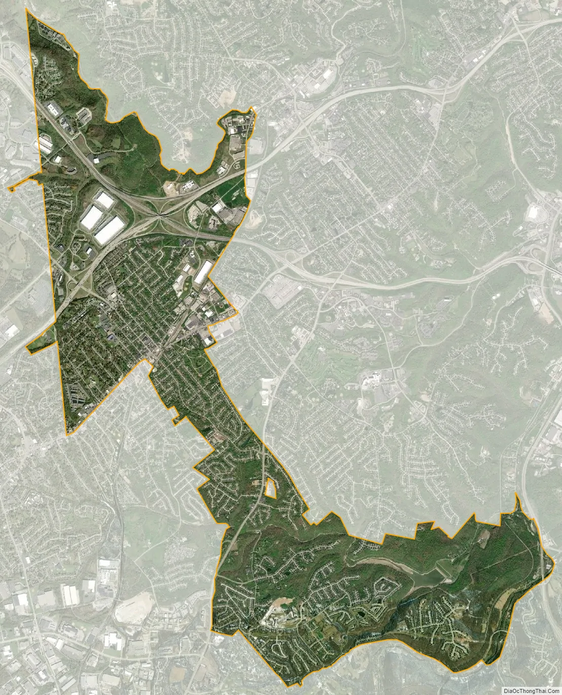
Erlanger city Satellite Map
Geography
Erlanger is located at 39°0′49″N 84°35′39″W / 39.01361°N 84.59417°W / 39.01361; -84.59417 (39.013511, -84.594042).
According to the United States Census Bureau, the city has a total area of 8.4 square miles (22 km), of which 8.3 square miles (21 km) is land and 0.1 square miles (0.26 km) (1.19%) is water.
See also
Map of Kentucky State and its subdivision:- Adair
- Allen
- Anderson
- Ballard
- Barren
- Bath
- Bell
- Boone
- Bourbon
- Boyd
- Boyle
- Bracken
- Breathitt
- Breckinridge
- Bullitt
- Butler
- Caldwell
- Calloway
- Campbell
- Carlisle
- Carroll
- Carter
- Casey
- Christian
- Clark
- Clay
- Clinton
- Crittenden
- Cumberland
- Daviess
- Edmonson
- Elliott
- Estill
- Fayette
- Fleming
- Floyd
- Franklin
- Fulton
- Gallatin
- Garrard
- Grant
- Graves
- Grayson
- Green
- Greenup
- Hancock
- Hardin
- Harlan
- Harrison
- Hart
- Henderson
- Henry
- Hickman
- Hopkins
- Jackson
- Jefferson
- Jessamine
- Johnson
- Kenton
- Knott
- Knox
- Larue
- Laurel
- Lawrence
- Lee
- Leslie
- Letcher
- Lewis
- Lincoln
- Livingston
- Logan
- Lyon
- Madison
- Magoffin
- Marion
- Marshall
- Martin
- Mason
- McCracken
- McCreary
- McLean
- Meade
- Menifee
- Mercer
- Metcalfe
- Monroe
- Montgomery
- Morgan
- Muhlenberg
- Nelson
- Nicholas
- Ohio
- Oldham
- Owen
- Owsley
- Pendleton
- Perry
- Pike
- Powell
- Pulaski
- Robertson
- Rockcastle
- Rowan
- Russell
- Scott
- Shelby
- Simpson
- Spencer
- Taylor
- Todd
- Trigg
- Trimble
- Union
- Warren
- Washington
- Wayne
- Webster
- Whitley
- Wolfe
- Woodford
- Alabama
- Alaska
- Arizona
- Arkansas
- California
- Colorado
- Connecticut
- Delaware
- District of Columbia
- Florida
- Georgia
- Hawaii
- Idaho
- Illinois
- Indiana
- Iowa
- Kansas
- Kentucky
- Louisiana
- Maine
- Maryland
- Massachusetts
- Michigan
- Minnesota
- Mississippi
- Missouri
- Montana
- Nebraska
- Nevada
- New Hampshire
- New Jersey
- New Mexico
- New York
- North Carolina
- North Dakota
- Ohio
- Oklahoma
- Oregon
- Pennsylvania
- Rhode Island
- South Carolina
- South Dakota
- Tennessee
- Texas
- Utah
- Vermont
- Virginia
- Washington
- West Virginia
- Wisconsin
- Wyoming