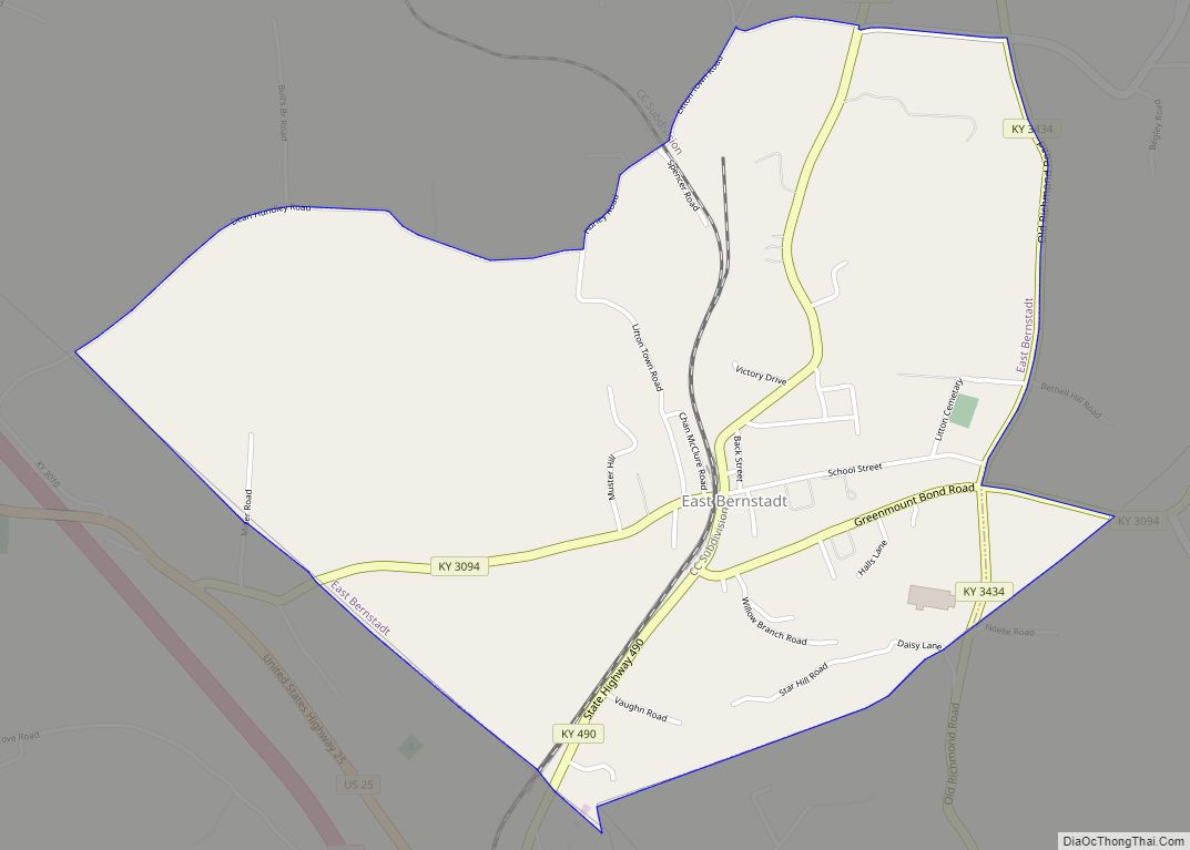
East Bernstadt is a census-designated place (CDP) and coal town in Laurel County, Kentucky, United States. The population was 716 at the 2010 census, down from 774 at the 2000 census.
| Name: | East Bernstadt CDP |
|---|---|
| LSAD Code: | 57 |
| LSAD Description: | CDP (suffix) |
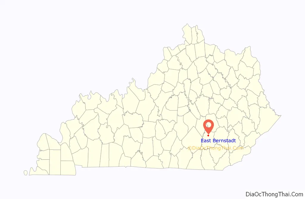
| State: | Kentucky |
| County: | Laurel County |
| Elevation: | 1,198 ft (365 m) |
| Total Area: | 2.12 sq mi (5.50 km²) |
| Land Area: | 2.11 sq mi (5.47 km²) |
| Water Area: | 0.01 sq mi (0.03 km²) |
| Total Population: | 809 |
| Population Density: | 382.87/sq mi (147.84/km²) |
| ZIP code: | 40729 |
| Area code: | 606 |
| FIPS code: | 2123284 |
| GNISfeature ID: | 0511986 |
Online Interactive Map
Click on ![]() to view map in "full screen" mode.
to view map in "full screen" mode.
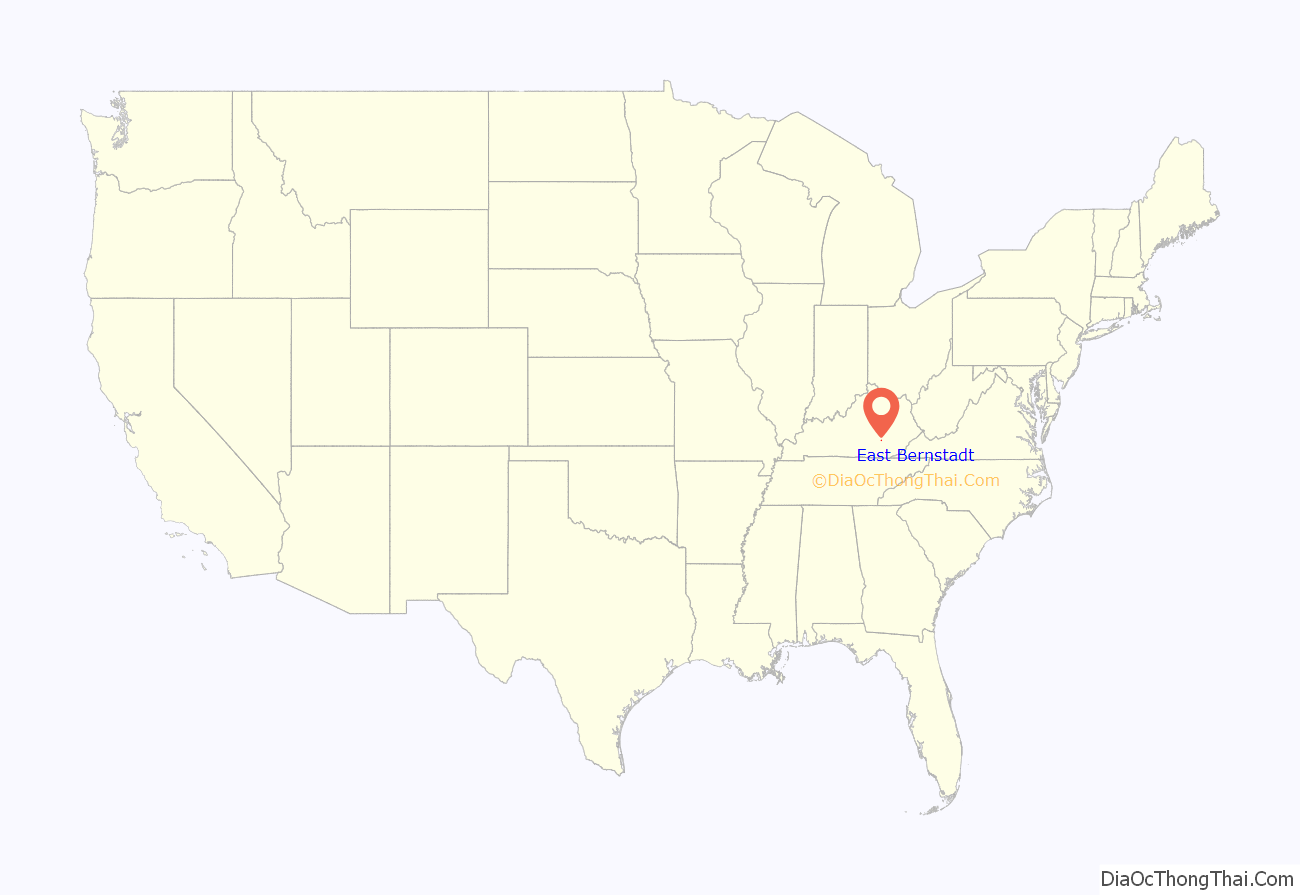
East Bernstadt location map. Where is East Bernstadt CDP?
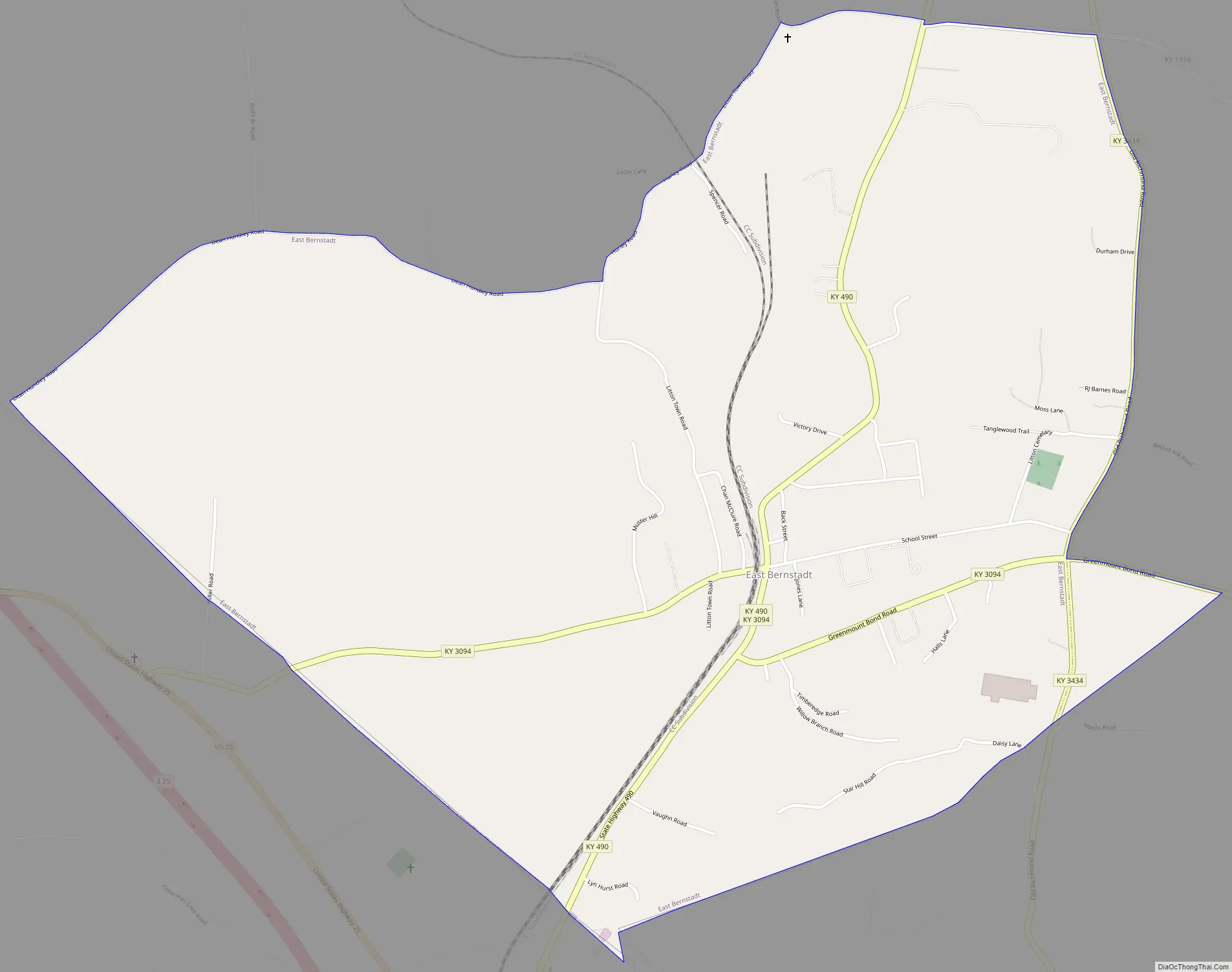
East Bernstadt Road Map
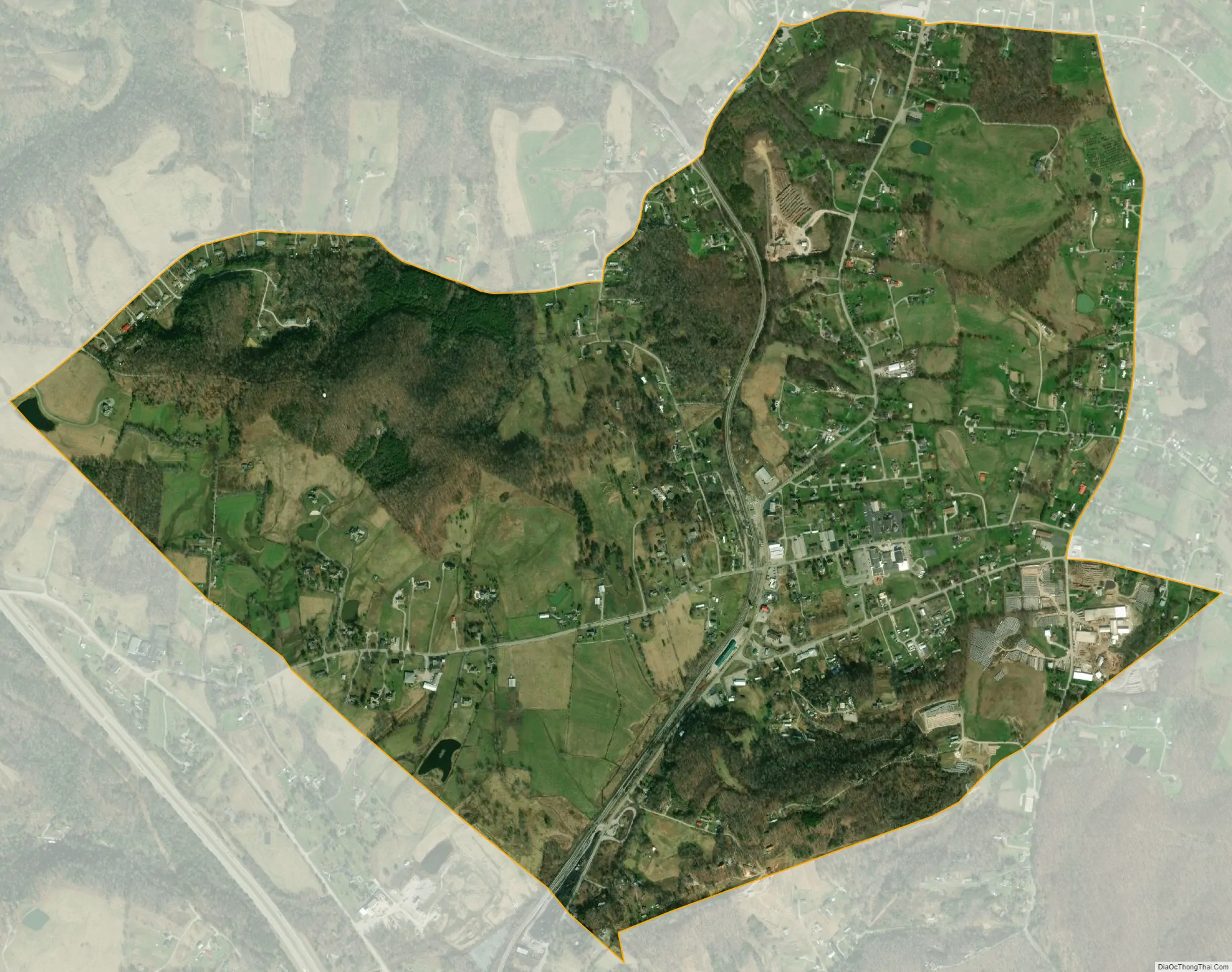
East Bernstadt city Satellite Map
Geography
East Bernstadt is located in northern Laurel County at 37°11′27″N 84°7′11″W / 37.19083°N 84.11972°W / 37.19083; -84.11972 (37.190818, -84.119647). U.S. Route 25 passes just to the southwest of the community, leading southeast 4 miles (6 km) to London, the county seat, and northwest 12 miles (19 km) to Livingston. Interstate 75 also passes to the southwest of East Bernstadt, but without any direct access, the closest being from the Hal Rogers Parkway in London.
According to the United States Census Bureau, the East Bernstadt CDP has a total area of 2.1 square miles (5.5 km), of which 0.01 square miles (0.03 km), or 0.46%, are water.
See also
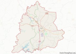
Map of Kentucky State and its subdivision:- Adair
- Allen
- Anderson
- Ballard
- Barren
- Bath
- Bell
- Boone
- Bourbon
- Boyd
- Boyle
- Bracken
- Breathitt
- Breckinridge
- Bullitt
- Butler
- Caldwell
- Calloway
- Campbell
- Carlisle
- Carroll
- Carter
- Casey
- Christian
- Clark
- Clay
- Clinton
- Crittenden
- Cumberland
- Daviess
- Edmonson
- Elliott
- Estill
- Fayette
- Fleming
- Floyd
- Franklin
- Fulton
- Gallatin
- Garrard
- Grant
- Graves
- Grayson
- Green
- Greenup
- Hancock
- Hardin
- Harlan
- Harrison
- Hart
- Henderson
- Henry
- Hickman
- Hopkins
- Jackson
- Jefferson
- Jessamine
- Johnson
- Kenton
- Knott
- Knox
- Larue
- Laurel
- Lawrence
- Lee
- Leslie
- Letcher
- Lewis
- Lincoln
- Livingston
- Logan
- Lyon
- Madison
- Magoffin
- Marion
- Marshall
- Martin
- Mason
- McCracken
- McCreary
- McLean
- Meade
- Menifee
- Mercer
- Metcalfe
- Monroe
- Montgomery
- Morgan
- Muhlenberg
- Nelson
- Nicholas
- Ohio
- Oldham
- Owen
- Owsley
- Pendleton
- Perry
- Pike
- Powell
- Pulaski
- Robertson
- Rockcastle
- Rowan
- Russell
- Scott
- Shelby
- Simpson
- Spencer
- Taylor
- Todd
- Trigg
- Trimble
- Union
- Warren
- Washington
- Wayne
- Webster
- Whitley
- Wolfe
- Woodford
- Alabama
- Alaska
- Arizona
- Arkansas
- California
- Colorado
- Connecticut
- Delaware
- District of Columbia
- Florida
- Georgia
- Hawaii
- Idaho
- Illinois
- Indiana
- Iowa
- Kansas
- Kentucky
- Louisiana
- Maine
- Maryland
- Massachusetts
- Michigan
- Minnesota
- Mississippi
- Missouri
- Montana
- Nebraska
- Nevada
- New Hampshire
- New Jersey
- New Mexico
- New York
- North Carolina
- North Dakota
- Ohio
- Oklahoma
- Oregon
- Pennsylvania
- Rhode Island
- South Carolina
- South Dakota
- Tennessee
- Texas
- Utah
- Vermont
- Virginia
- Washington
- West Virginia
- Wisconsin
- Wyoming