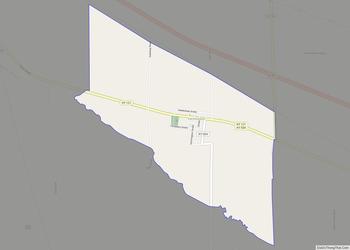
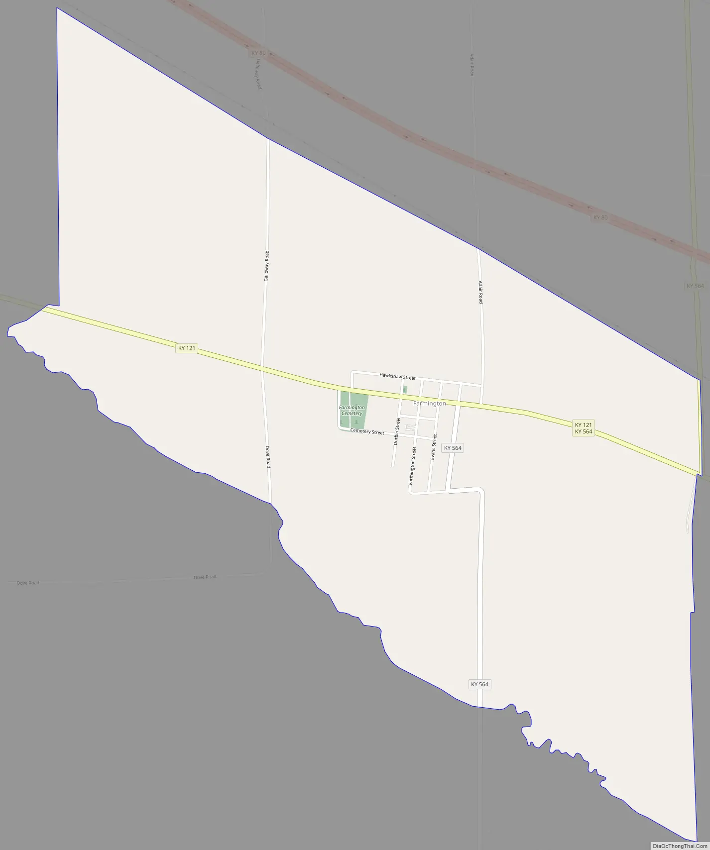
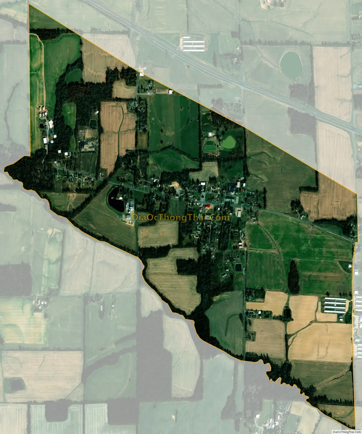
Farmington is an unincorporated community and census-designated place (CDP) in Graves County, Kentucky, United States. Farmington is located 8 miles (13 km) southeast of Mayfield, the Graves County seat, and 13 miles (21 km) west of Murray. The population of Farmington was 245 at the 2010 census.
Farmington was laid out in 1836 and named for the fertile land and rustic setting.
Farmington was home to Farmington High School until 1986 when the six remaining high schools of the county combined to form Graves County High School. Farmington Elementary School is located near central Farmington. Farmington Elementary School is ranked among the highest in the state, receiving a National Blue Ribbon award in 2007. Farmington Elementary School spends $4,477 per student; the average school expenditure in the U.S. is $6,058. There are about 18 students per teacher in Farmington.
| Name: | Farmington CDP |
|---|---|
| LSAD Code: | 57 |
| LSAD Description: | CDP (suffix) |
| State: | Kentucky |
| County: | Graves County |
| Elevation: | 554 ft (169 m) |
| Total Area: | 1.55 sq mi (4.01 km²) |
| Land Area: | 1.53 sq mi (3.97 km²) |
| Water Area: | 0.02 sq mi (0.04 km²) |
| Total Population: | 234 |
| Population Density: | 152.54/sq mi (58.91/km²) |
| ZIP code: | 42040 |
| Area code: | 270 & 364 |
| FIPS code: | 2126614 |
| GNISfeature ID: | 2629616 |
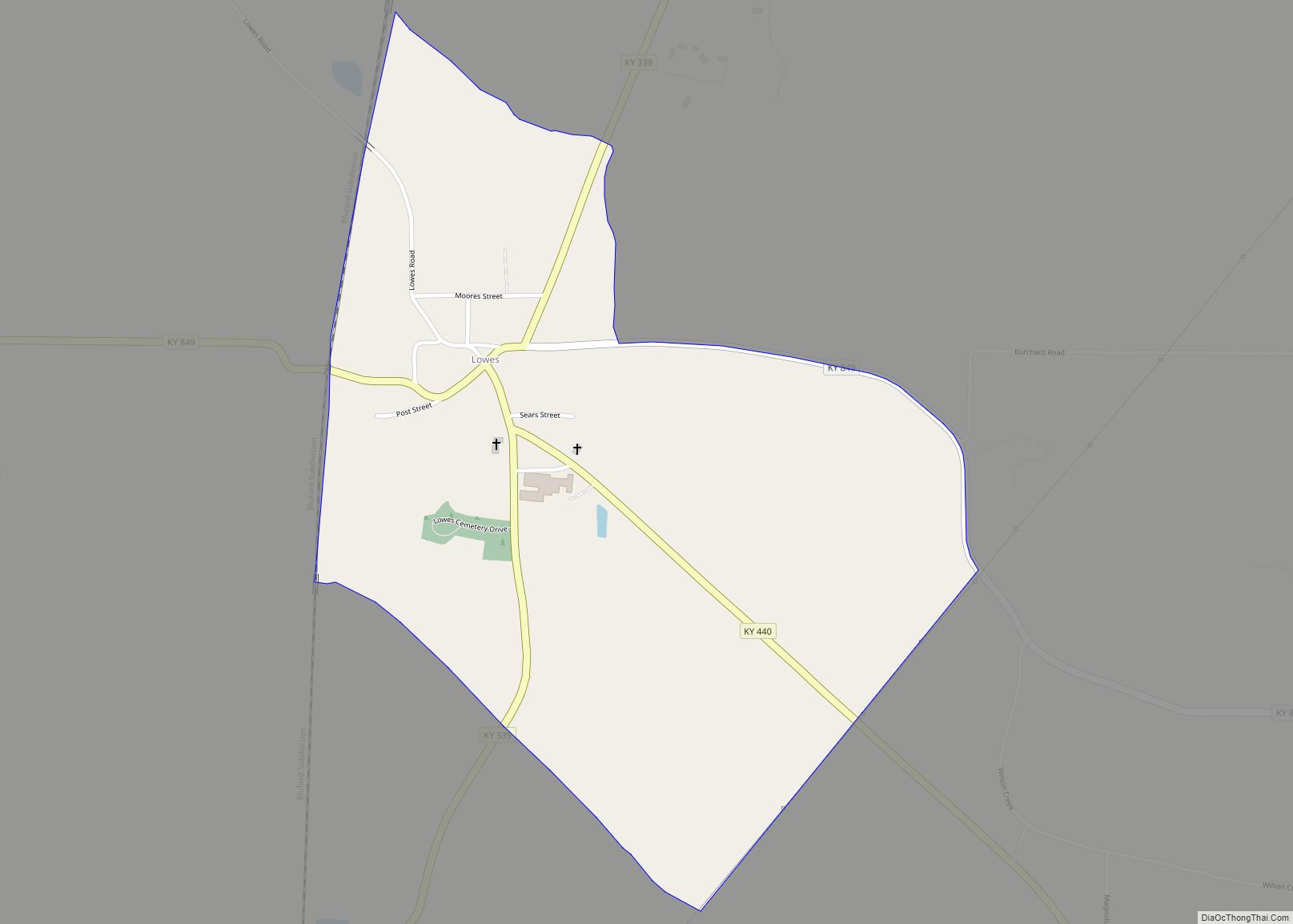
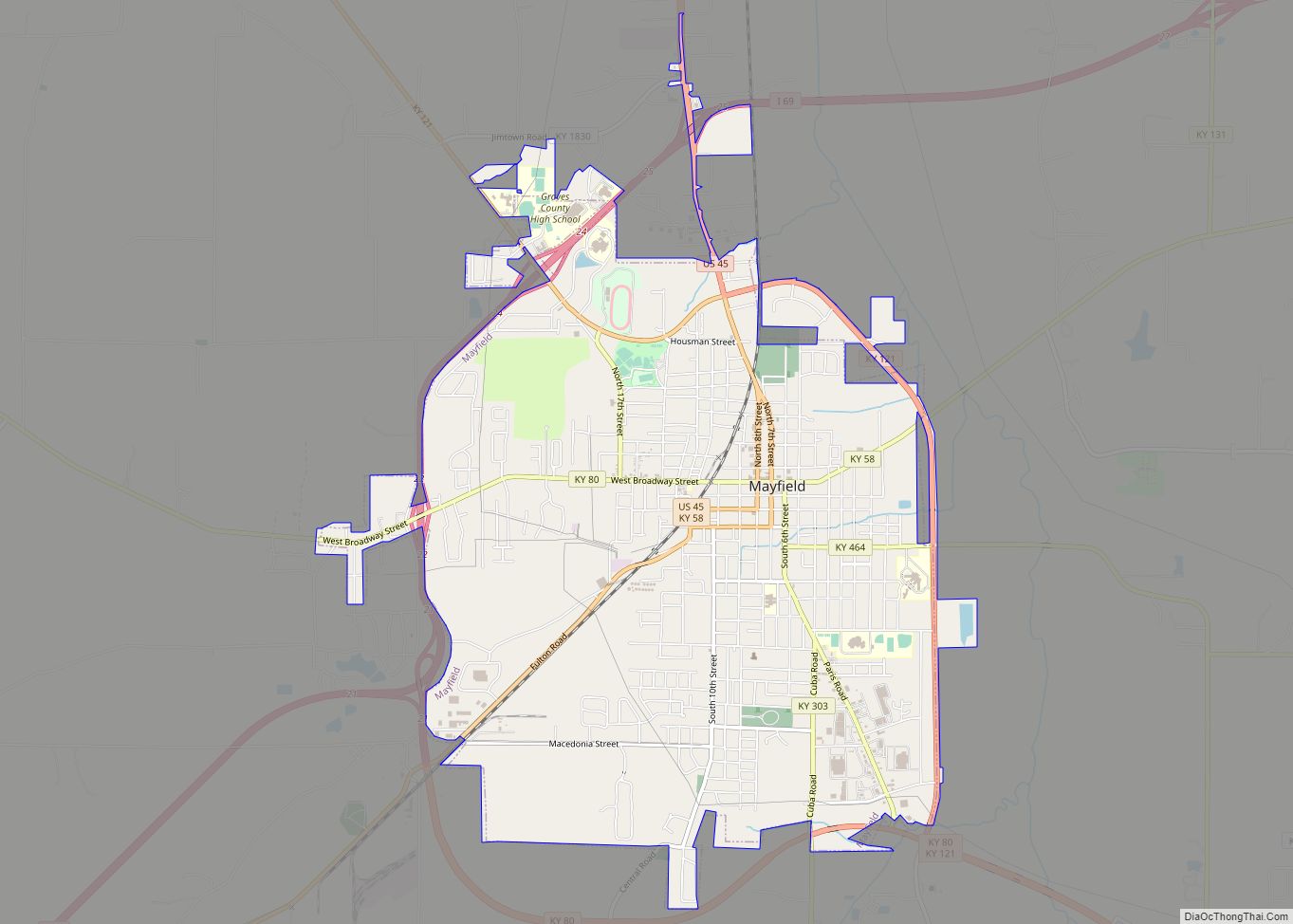
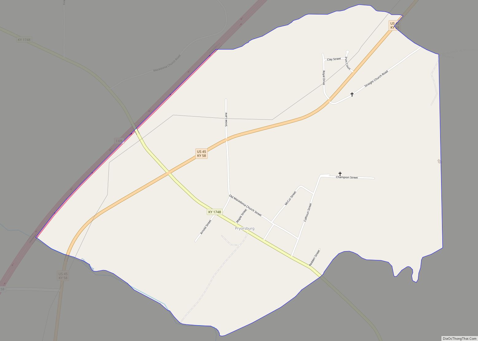
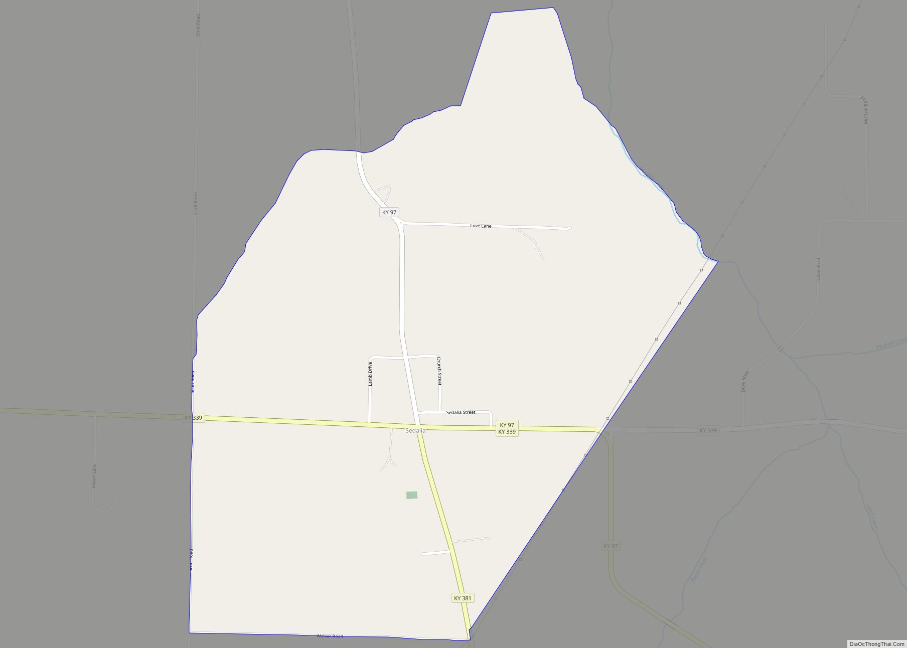
Online Interactive Map
Click on ![]() to view map in "full screen" mode.
to view map in "full screen" mode.
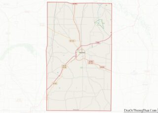
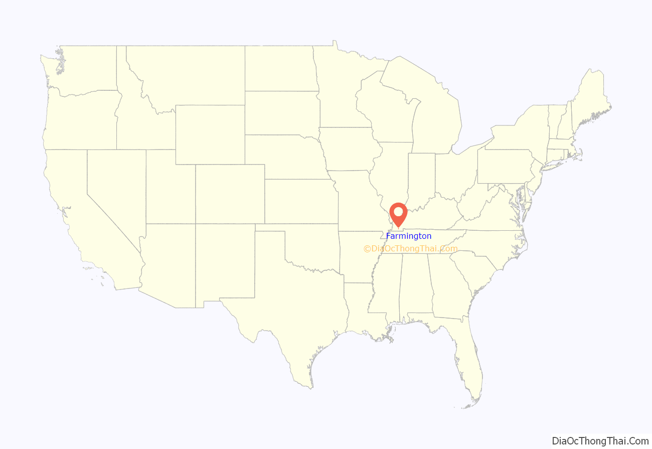
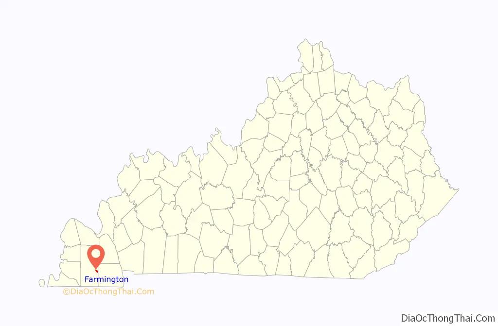
Farmington location map. Where is Farmington CDP?
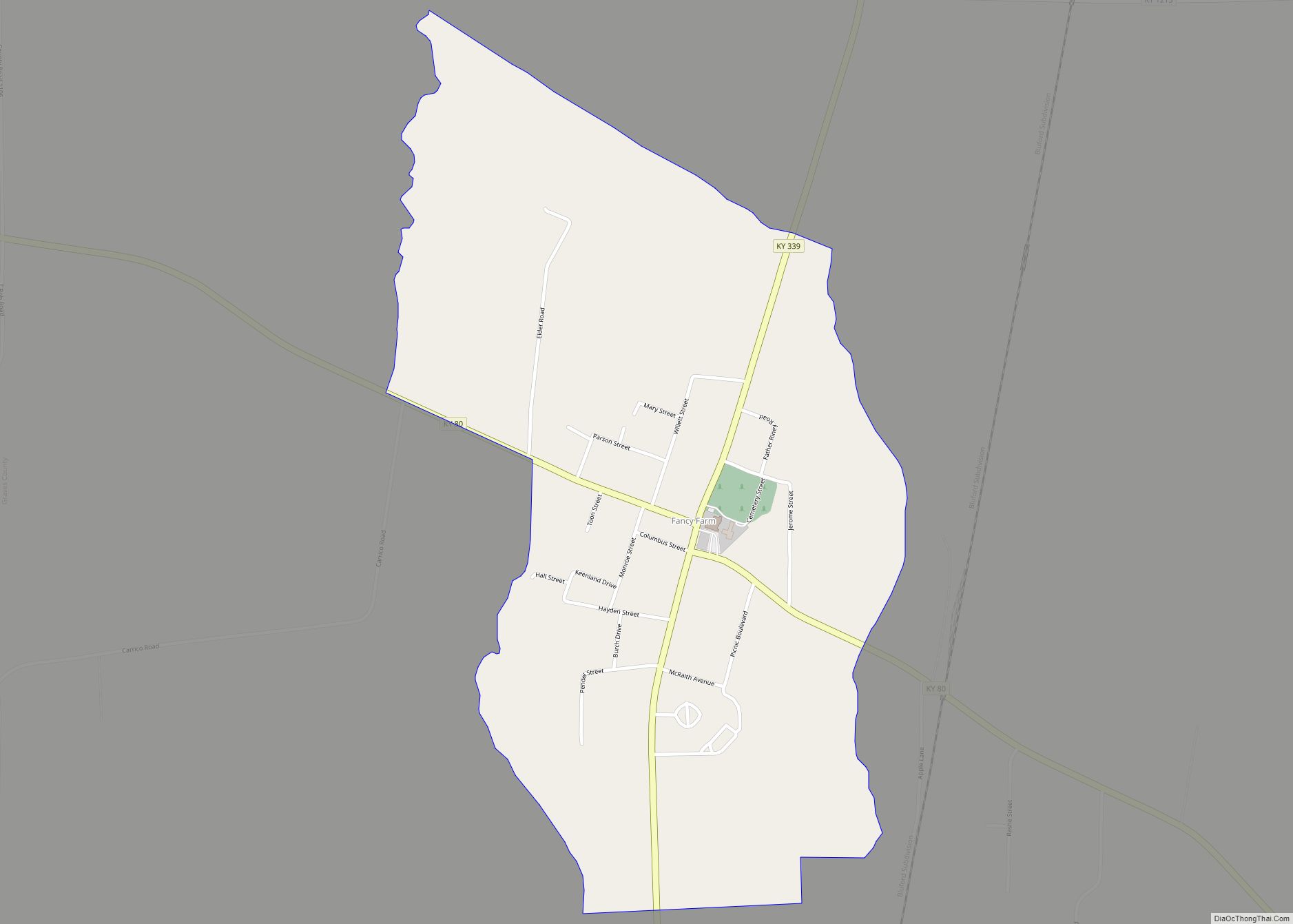
Farmington Road Map
Farmington city Satellite Map
See also
Map of Kentucky State and its subdivision:- Adair
- Allen
- Anderson
- Ballard
- Barren
- Bath
- Bell
- Boone
- Bourbon
- Boyd
- Boyle
- Bracken
- Breathitt
- Breckinridge
- Bullitt
- Butler
- Caldwell
- Calloway
- Campbell
- Carlisle
- Carroll
- Carter
- Casey
- Christian
- Clark
- Clay
- Clinton
- Crittenden
- Cumberland
- Daviess
- Edmonson
- Elliott
- Estill
- Fayette
- Fleming
- Floyd
- Franklin
- Fulton
- Gallatin
- Garrard
- Grant
- Graves
- Grayson
- Green
- Greenup
- Hancock
- Hardin
- Harlan
- Harrison
- Hart
- Henderson
- Henry
- Hickman
- Hopkins
- Jackson
- Jefferson
- Jessamine
- Johnson
- Kenton
- Knott
- Knox
- Larue
- Laurel
- Lawrence
- Lee
- Leslie
- Letcher
- Lewis
- Lincoln
- Livingston
- Logan
- Lyon
- Madison
- Magoffin
- Marion
- Marshall
- Martin
- Mason
- McCracken
- McCreary
- McLean
- Meade
- Menifee
- Mercer
- Metcalfe
- Monroe
- Montgomery
- Morgan
- Muhlenberg
- Nelson
- Nicholas
- Ohio
- Oldham
- Owen
- Owsley
- Pendleton
- Perry
- Pike
- Powell
- Pulaski
- Robertson
- Rockcastle
- Rowan
- Russell
- Scott
- Shelby
- Simpson
- Spencer
- Taylor
- Todd
- Trigg
- Trimble
- Union
- Warren
- Washington
- Wayne
- Webster
- Whitley
- Wolfe
- Woodford
- Alabama
- Alaska
- Arizona
- Arkansas
- California
- Colorado
- Connecticut
- Delaware
- District of Columbia
- Florida
- Georgia
- Hawaii
- Idaho
- Illinois
- Indiana
- Iowa
- Kansas
- Kentucky
- Louisiana
- Maine
- Maryland
- Massachusetts
- Michigan
- Minnesota
- Mississippi
- Missouri
- Montana
- Nebraska
- Nevada
- New Hampshire
- New Jersey
- New Mexico
- New York
- North Carolina
- North Dakota
- Ohio
- Oklahoma
- Oregon
- Pennsylvania
- Rhode Island
- South Carolina
- South Dakota
- Tennessee
- Texas
- Utah
- Vermont
- Virginia
- Washington
- West Virginia
- Wisconsin
- Wyoming