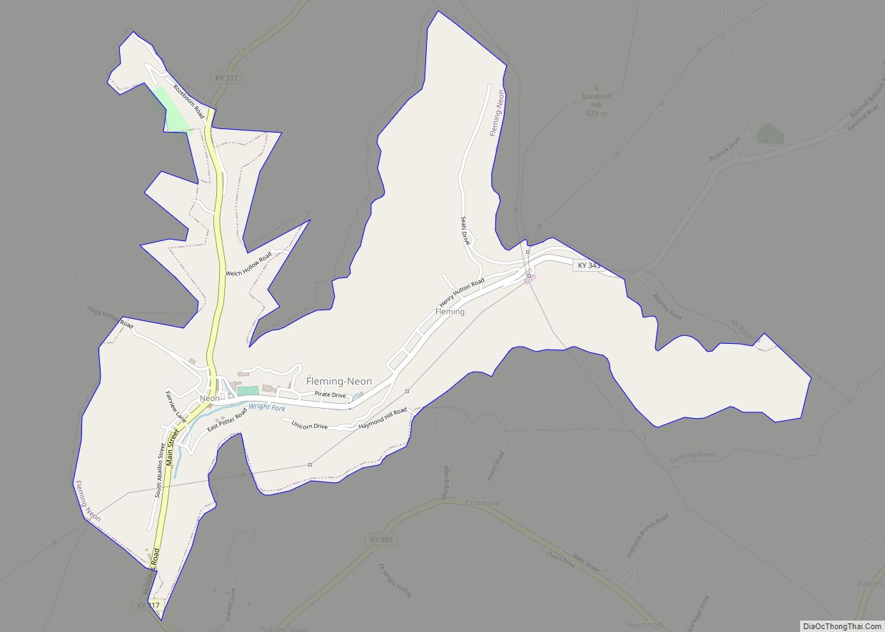
Fleming-Neon also known as Neon, is a home rule-class city in Letcher County, Kentucky, in the United States. The population was 770 at the 2010 census, down from 840 at the 2000 census.
| Name: | Fleming-Neon city |
|---|---|
| LSAD Code: | 25 |
| LSAD Description: | city (suffix) |
| State: | Kentucky |
| County: | Letcher County |
| Elevation: | 1,391 ft (424 m) |
| Total Area: | 1.62 sq mi (4.18 km²) |
| Land Area: | 1.61 sq mi (4.18 km²) |
| Water Area: | 0.00 sq mi (0.00 km²) |
| Total Population: | 548 |
| Population Density: | 339.32/sq mi (131.03/km²) |
| ZIP code: | 41840 |
| Area code: | 606 |
| FIPS code: | 2127846 |
| GNISfeature ID: | 1681811 |
Online Interactive Map
Click on ![]() to view map in "full screen" mode.
to view map in "full screen" mode.
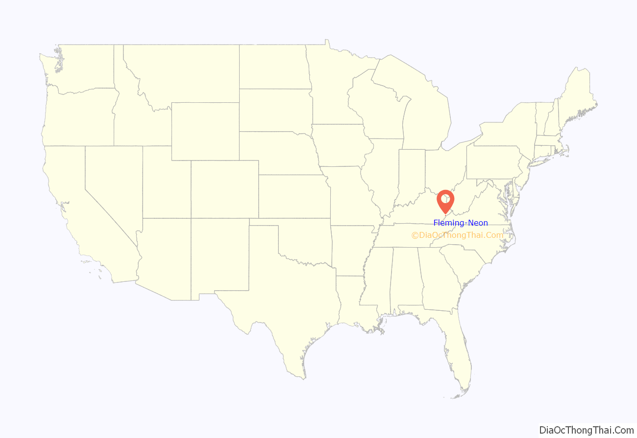
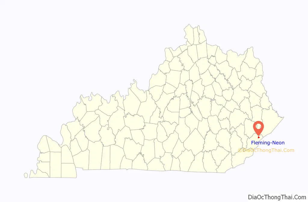
Fleming-Neon location map. Where is Fleming-Neon city?
History
The city was established by the Elkhorn Coal Corporation which moved into the area in 1913. Fleming was the location of the mine and was named for its first president, George W. Fleming. A city named “Chip” existed near the community that became Fleming; it was quickly built up and served as a trading center for the nearby coal towns. The train that hauled the coal out of Fleming would make stops in Neon. Local tradition holds that the conductor would holler instructions to people climbing aboard the train to “Knee On” and this was corrupted into the present name, replacing Chip. In 1977, the two towns were merged into Fleming-Neon during their municipal incorporation by the General Assembly.
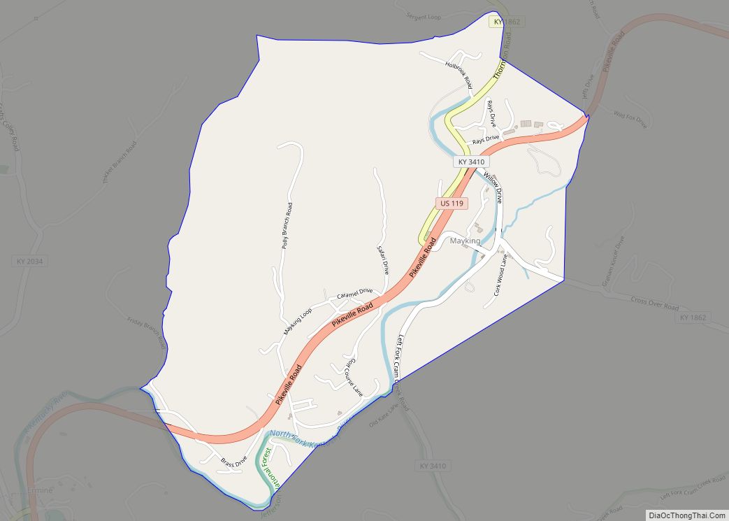
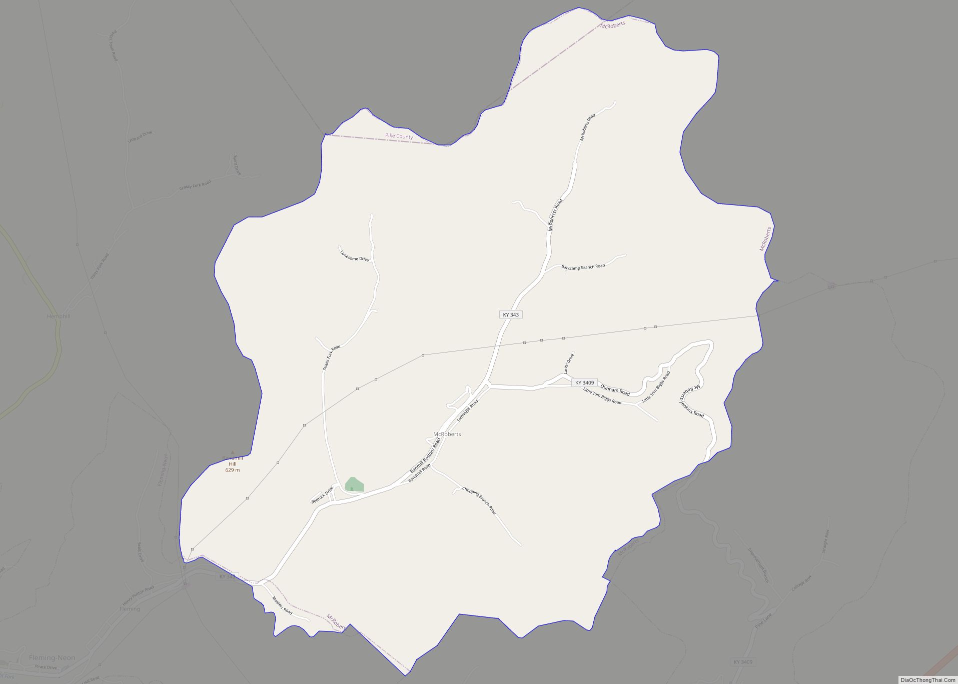
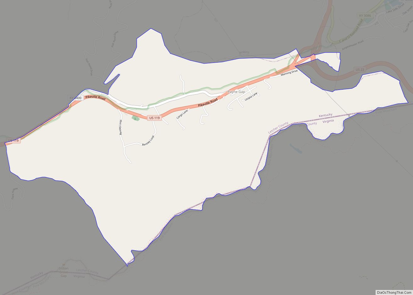
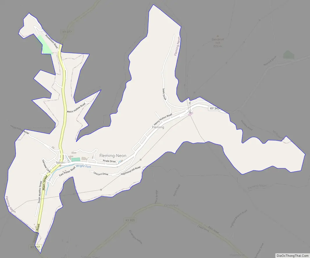
Fleming-Neon Road Map
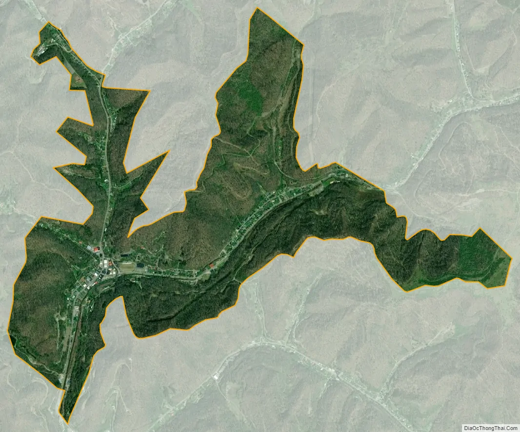
Fleming-Neon city Satellite Map
Geography
Fleming-Neon is located in eastern Letcher County at 37°11′40″N 82°42′21″W / 37.19444°N 82.70583°W / 37.19444; -82.70583 (37.194421, -82.705937). It is bordered to the east by the unincorporated community of McRoberts. Whitesburg, the county seat, is 12 miles (19 km) to the southwest.
According to the United States Census Bureau, the city of Fleming-Neon has a total area of 1.6 square miles (4.2 km), of which 0.53 acres (2,127 m), or 0.05%, are water. The city is in the valleys of the Wrights Fork and Yonta Fork, part of the upper watershed of the North Fork of the Kentucky River.
See also
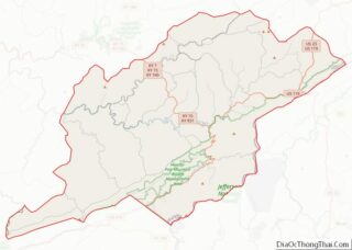
Map of Kentucky State and its subdivision:- Adair
- Allen
- Anderson
- Ballard
- Barren
- Bath
- Bell
- Boone
- Bourbon
- Boyd
- Boyle
- Bracken
- Breathitt
- Breckinridge
- Bullitt
- Butler
- Caldwell
- Calloway
- Campbell
- Carlisle
- Carroll
- Carter
- Casey
- Christian
- Clark
- Clay
- Clinton
- Crittenden
- Cumberland
- Daviess
- Edmonson
- Elliott
- Estill
- Fayette
- Fleming
- Floyd
- Franklin
- Fulton
- Gallatin
- Garrard
- Grant
- Graves
- Grayson
- Green
- Greenup
- Hancock
- Hardin
- Harlan
- Harrison
- Hart
- Henderson
- Henry
- Hickman
- Hopkins
- Jackson
- Jefferson
- Jessamine
- Johnson
- Kenton
- Knott
- Knox
- Larue
- Laurel
- Lawrence
- Lee
- Leslie
- Letcher
- Lewis
- Lincoln
- Livingston
- Logan
- Lyon
- Madison
- Magoffin
- Marion
- Marshall
- Martin
- Mason
- McCracken
- McCreary
- McLean
- Meade
- Menifee
- Mercer
- Metcalfe
- Monroe
- Montgomery
- Morgan
- Muhlenberg
- Nelson
- Nicholas
- Ohio
- Oldham
- Owen
- Owsley
- Pendleton
- Perry
- Pike
- Powell
- Pulaski
- Robertson
- Rockcastle
- Rowan
- Russell
- Scott
- Shelby
- Simpson
- Spencer
- Taylor
- Todd
- Trigg
- Trimble
- Union
- Warren
- Washington
- Wayne
- Webster
- Whitley
- Wolfe
- Woodford
- Alabama
- Alaska
- Arizona
- Arkansas
- California
- Colorado
- Connecticut
- Delaware
- District of Columbia
- Florida
- Georgia
- Hawaii
- Idaho
- Illinois
- Indiana
- Iowa
- Kansas
- Kentucky
- Louisiana
- Maine
- Maryland
- Massachusetts
- Michigan
- Minnesota
- Mississippi
- Missouri
- Montana
- Nebraska
- Nevada
- New Hampshire
- New Jersey
- New Mexico
- New York
- North Carolina
- North Dakota
- Ohio
- Oklahoma
- Oregon
- Pennsylvania
- Rhode Island
- South Carolina
- South Dakota
- Tennessee
- Texas
- Utah
- Vermont
- Virginia
- Washington
- West Virginia
- Wisconsin
- Wyoming