Fort Mitchell is a home rule-class city in Kenton County, Kentucky, United States. The population was 8,702 at the 2020 census. It is part of the Cincinnati metropolitan area.
| Name: | Fort Mitchell city |
|---|---|
| LSAD Code: | 25 |
| LSAD Description: | city (suffix) |
| State: | Kentucky |
| County: | Kenton County |
| Incorporated: | February 14, 1910 |
| Elevation: | 853 ft (260 m) |
| Total Area: | 3.11 sq mi (8.07 km²) |
| Land Area: | 3.10 sq mi (8.02 km²) |
| Water Area: | 0.02 sq mi (0.05 km²) |
| Total Population: | 8,702 |
| Population Density: | 2,809.82/sq mi (1,084.71/km²) |
| ZIP code: | 41011, 41017 |
| Area code: | 859 |
| FIPS code: | 2128558 |
| GNISfeature ID: | 0492355 |
| Website: | fortmitchell.com |
Online Interactive Map
Click on ![]() to view map in "full screen" mode.
to view map in "full screen" mode.
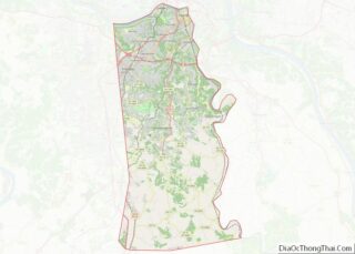
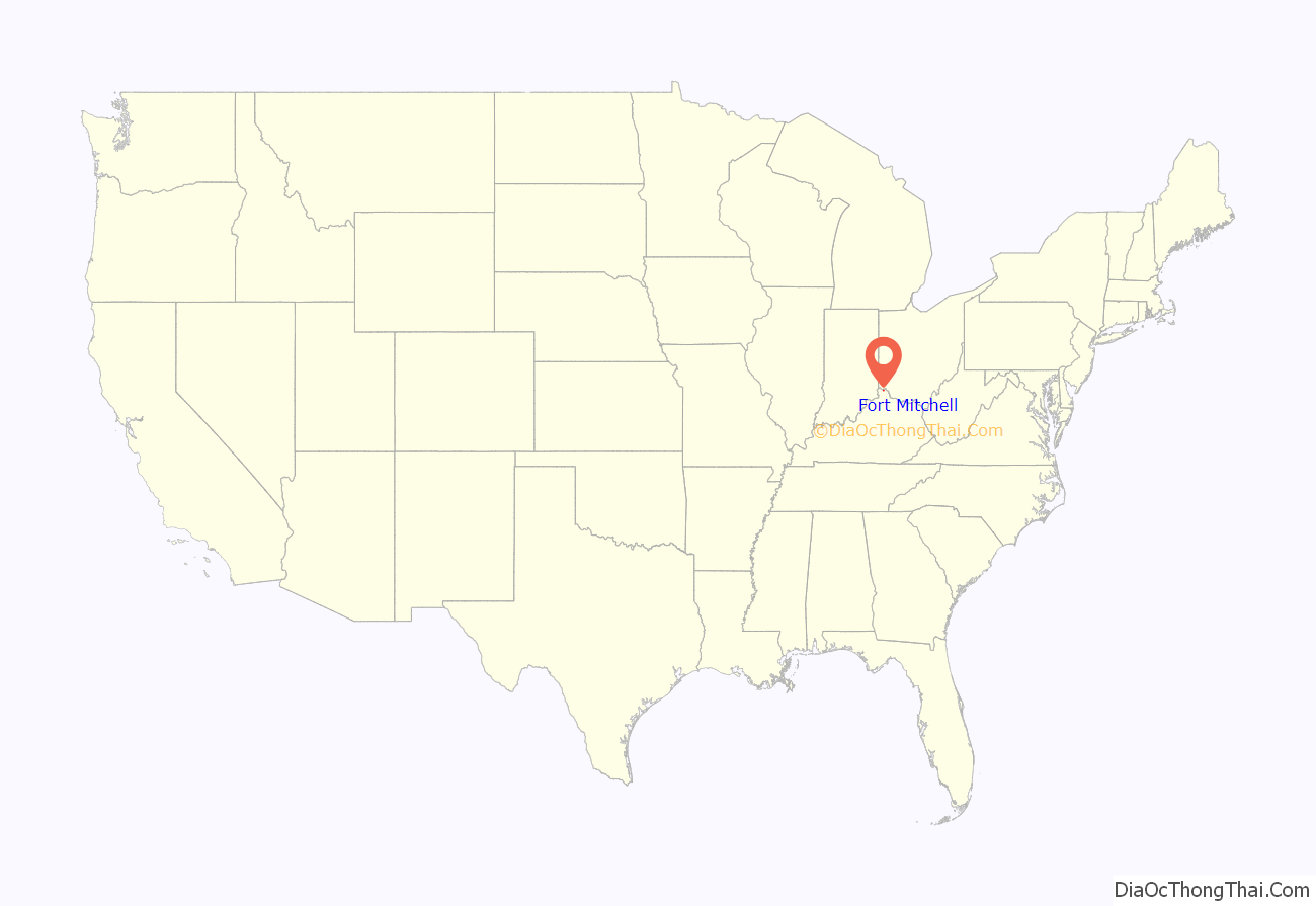
Fort Mitchell location map. Where is Fort Mitchell city?
History
Fort Mitchell was the site of one of seven Civil War fortifications built for the Defense of Cincinnati. The community was named for General Ormsby M. Mitchel, a professor at Cincinnati College (now the University of Cincinnati) who designed the fortifications.
Fort Mitchell was chartered as a city in 1910. It annexed South Ft. Mitchell (inc. 1927) in 1967 and Crescent Park in 1999.
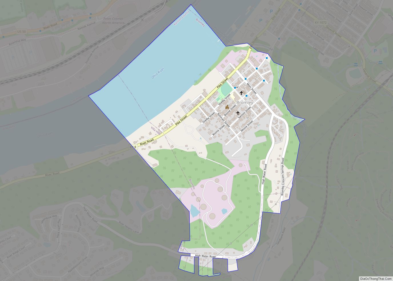
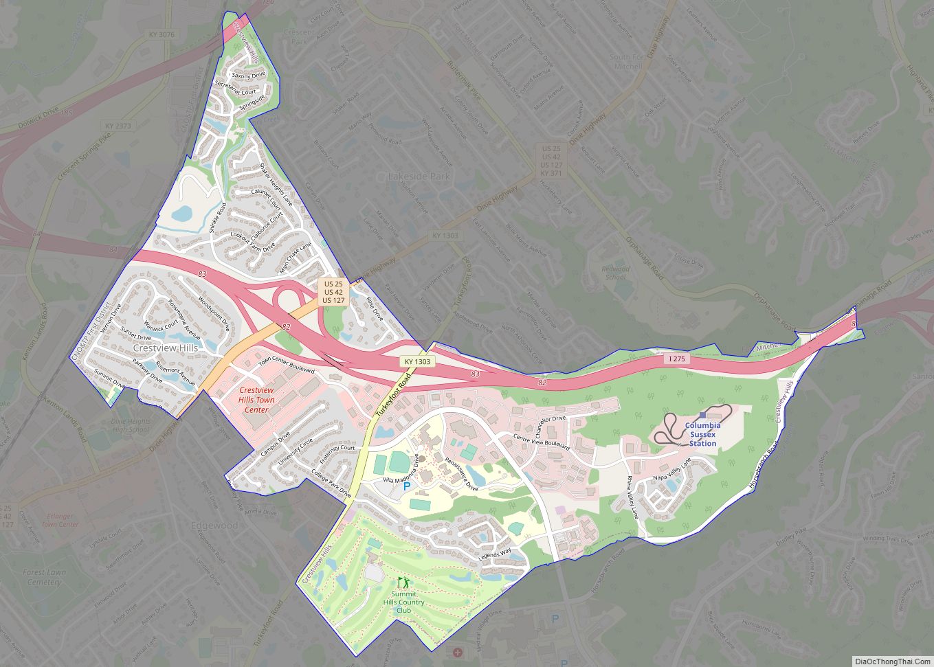
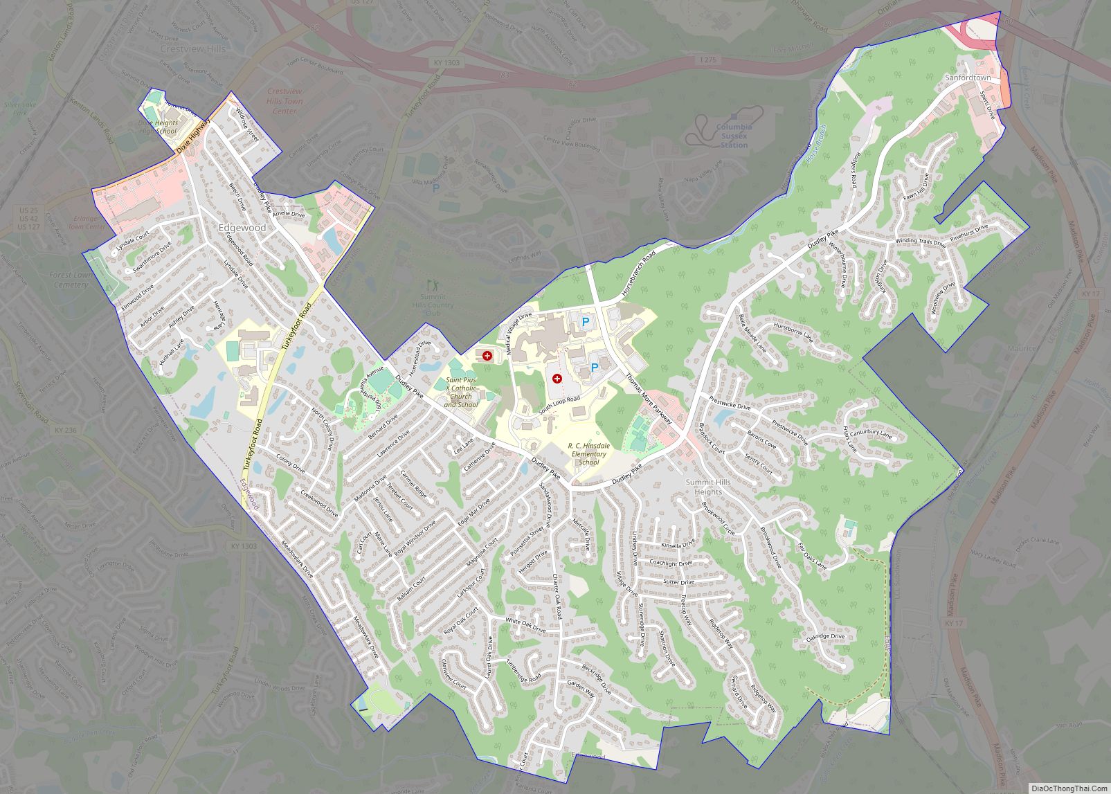
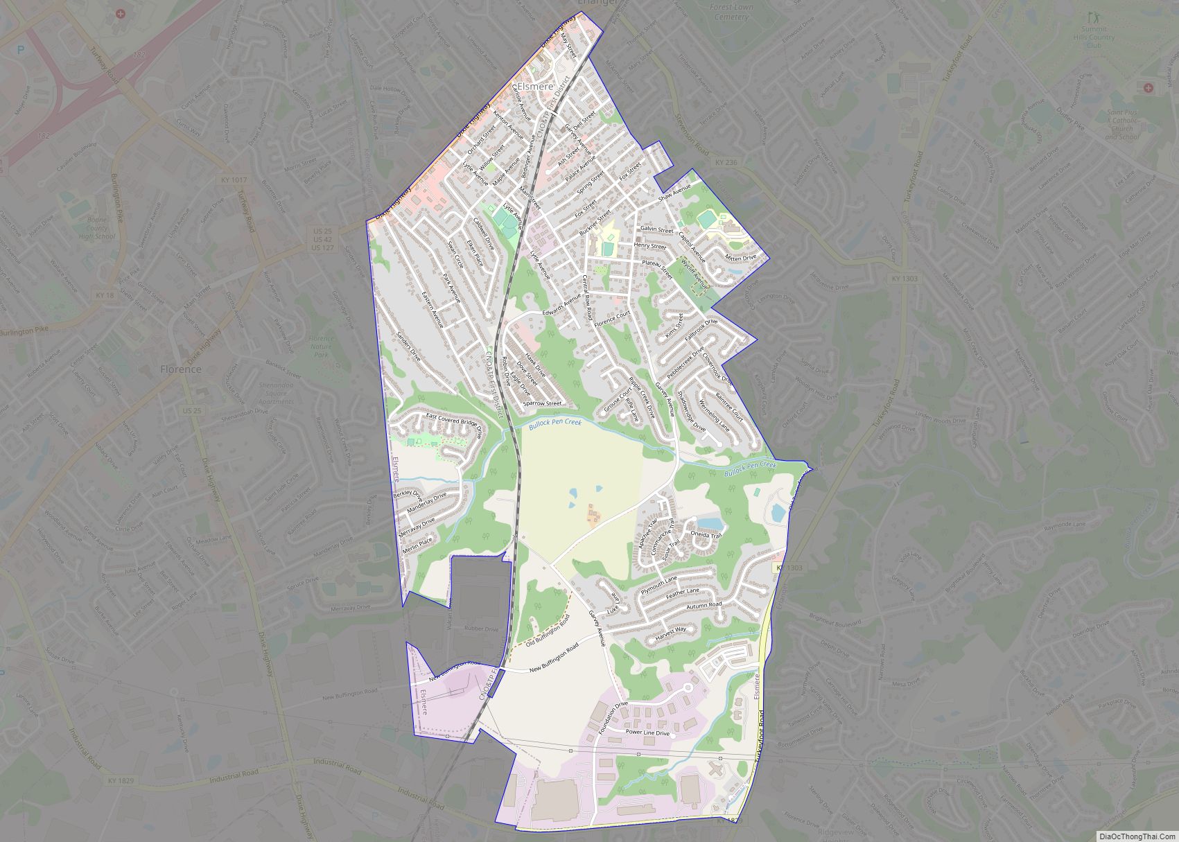
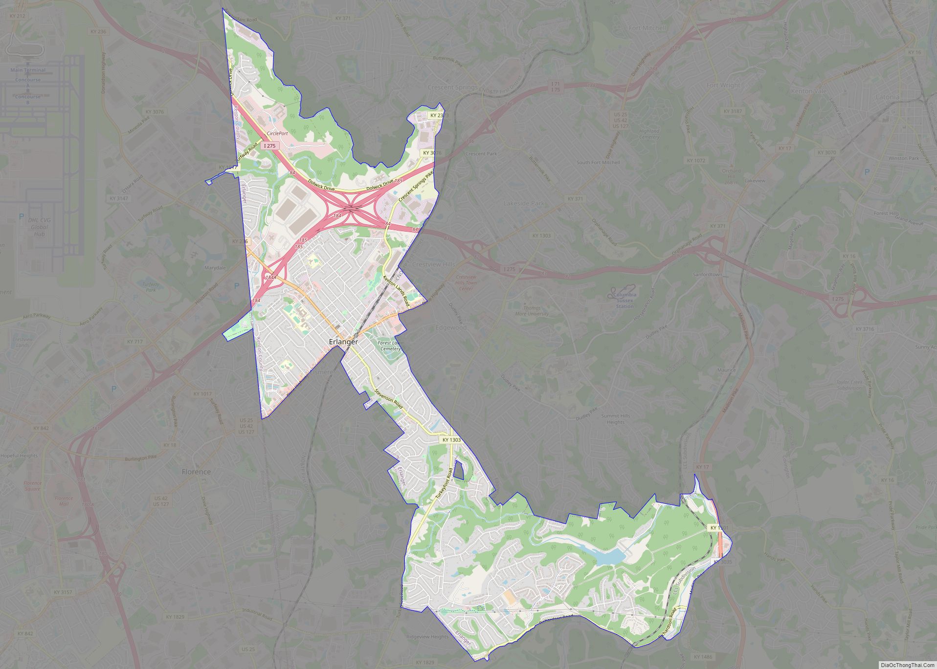
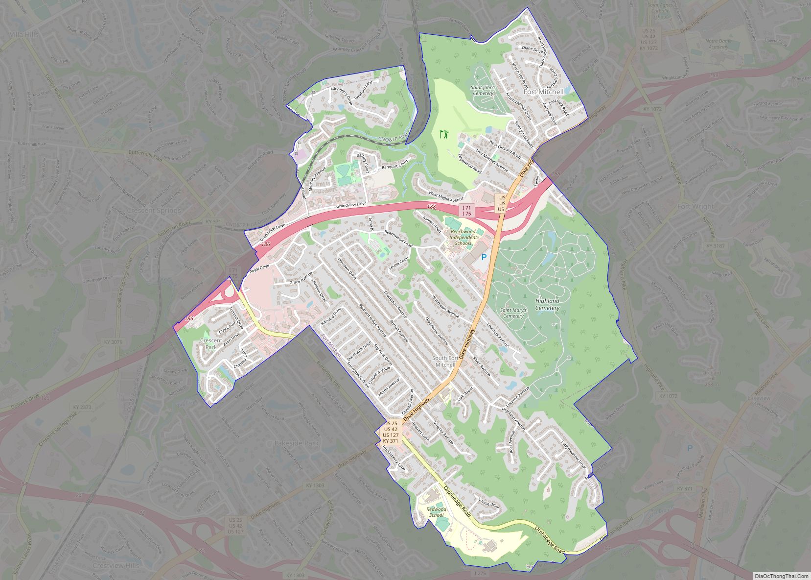
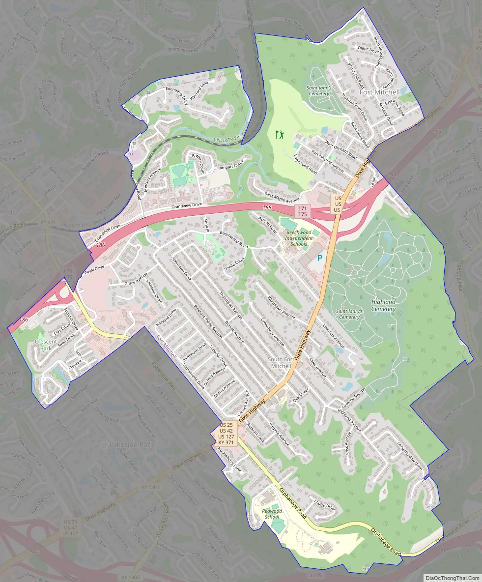
Fort Mitchell Road Map
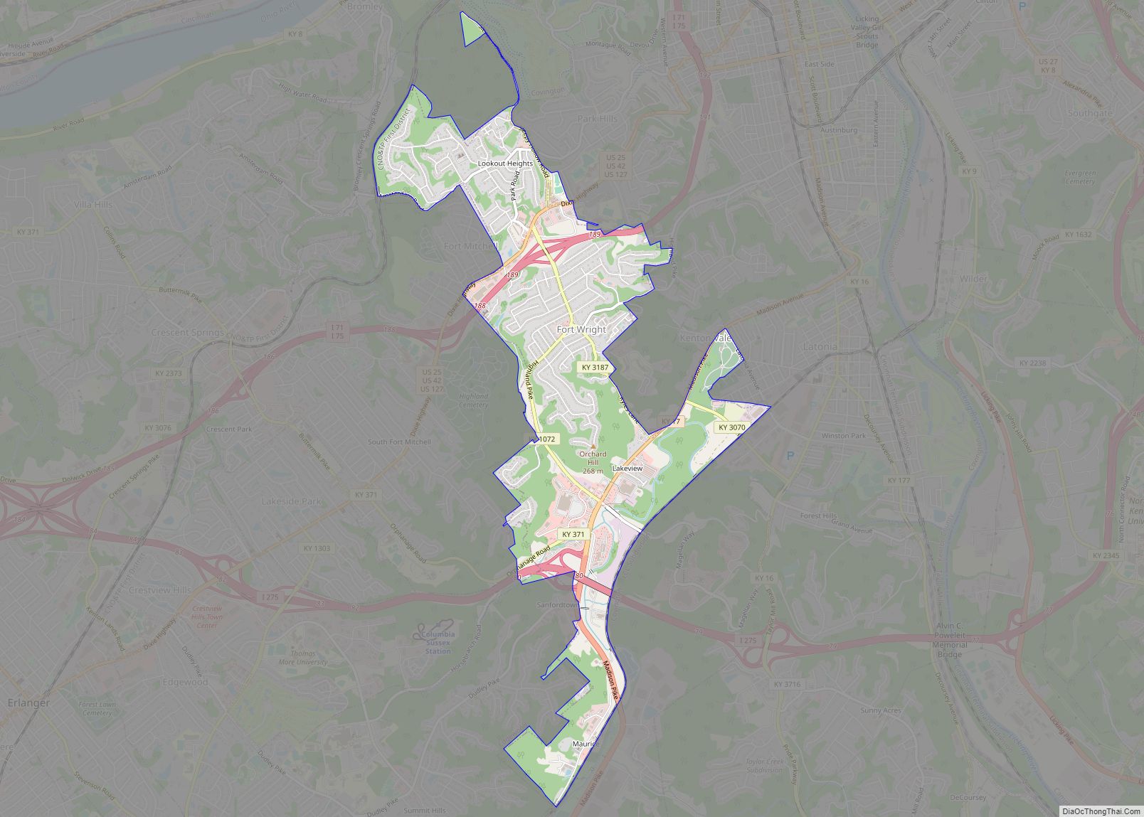
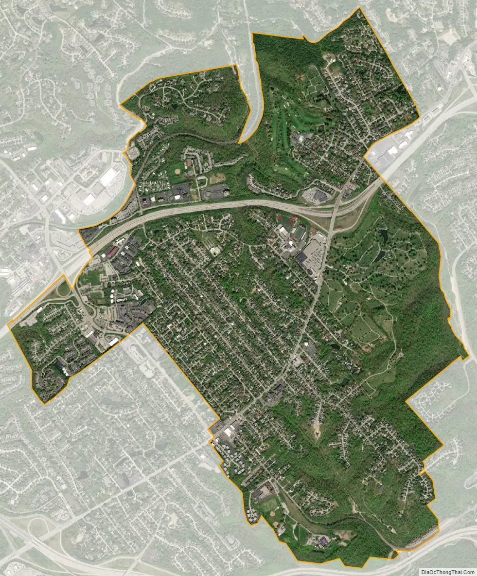
Fort Mitchell city Satellite Map
Geography
Fort Mitchell is located at 39°2′50″N 84°33′36″W / 39.04722°N 84.56000°W / 39.04722; -84.56000 (39.047221, -84.559993).
According to the United States Census Bureau, the city has a total area of 3.1 square miles (8.0 km), all land.
See also
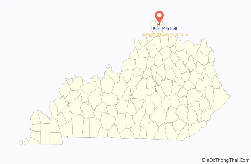
Map of Kentucky State and its subdivision:- Adair
- Allen
- Anderson
- Ballard
- Barren
- Bath
- Bell
- Boone
- Bourbon
- Boyd
- Boyle
- Bracken
- Breathitt
- Breckinridge
- Bullitt
- Butler
- Caldwell
- Calloway
- Campbell
- Carlisle
- Carroll
- Carter
- Casey
- Christian
- Clark
- Clay
- Clinton
- Crittenden
- Cumberland
- Daviess
- Edmonson
- Elliott
- Estill
- Fayette
- Fleming
- Floyd
- Franklin
- Fulton
- Gallatin
- Garrard
- Grant
- Graves
- Grayson
- Green
- Greenup
- Hancock
- Hardin
- Harlan
- Harrison
- Hart
- Henderson
- Henry
- Hickman
- Hopkins
- Jackson
- Jefferson
- Jessamine
- Johnson
- Kenton
- Knott
- Knox
- Larue
- Laurel
- Lawrence
- Lee
- Leslie
- Letcher
- Lewis
- Lincoln
- Livingston
- Logan
- Lyon
- Madison
- Magoffin
- Marion
- Marshall
- Martin
- Mason
- McCracken
- McCreary
- McLean
- Meade
- Menifee
- Mercer
- Metcalfe
- Monroe
- Montgomery
- Morgan
- Muhlenberg
- Nelson
- Nicholas
- Ohio
- Oldham
- Owen
- Owsley
- Pendleton
- Perry
- Pike
- Powell
- Pulaski
- Robertson
- Rockcastle
- Rowan
- Russell
- Scott
- Shelby
- Simpson
- Spencer
- Taylor
- Todd
- Trigg
- Trimble
- Union
- Warren
- Washington
- Wayne
- Webster
- Whitley
- Wolfe
- Woodford
- Alabama
- Alaska
- Arizona
- Arkansas
- California
- Colorado
- Connecticut
- Delaware
- District of Columbia
- Florida
- Georgia
- Hawaii
- Idaho
- Illinois
- Indiana
- Iowa
- Kansas
- Kentucky
- Louisiana
- Maine
- Maryland
- Massachusetts
- Michigan
- Minnesota
- Mississippi
- Missouri
- Montana
- Nebraska
- Nevada
- New Hampshire
- New Jersey
- New Mexico
- New York
- North Carolina
- North Dakota
- Ohio
- Oklahoma
- Oregon
- Pennsylvania
- Rhode Island
- South Carolina
- South Dakota
- Tennessee
- Texas
- Utah
- Vermont
- Virginia
- Washington
- West Virginia
- Wisconsin
- Wyoming