Fort Wright is a home rule-class city in Kenton County, Kentucky, in the United States. The population was 5,723 at the 2010 census. It is part of the Cincinnati metropolitan area.
| Name: | Fort Wright city |
|---|---|
| LSAD Code: | 25 |
| LSAD Description: | city (suffix) |
| State: | Kentucky |
| County: | Kenton County |
| Elevation: | 846 ft (258 m) |
| Total Area: | 3.44 sq mi (8.90 km²) |
| Land Area: | 3.40 sq mi (8.80 km²) |
| Water Area: | 0.04 sq mi (0.10 km²) |
| Total Population: | 5,851 |
| Population Density: | 1,721.39/sq mi (664.54/km²) |
| ZIP code: | 41011, 41017 |
| Area code: | 859 |
| FIPS code: | 2128612 |
| GNISfeature ID: | 0492358 |
| Website: | www.fortwright.com |
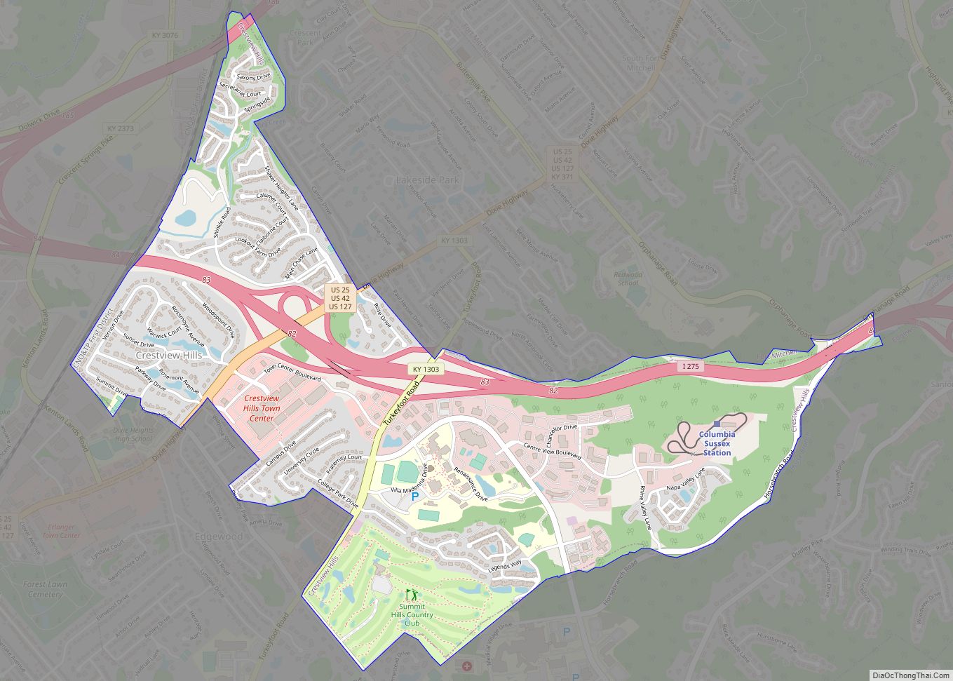
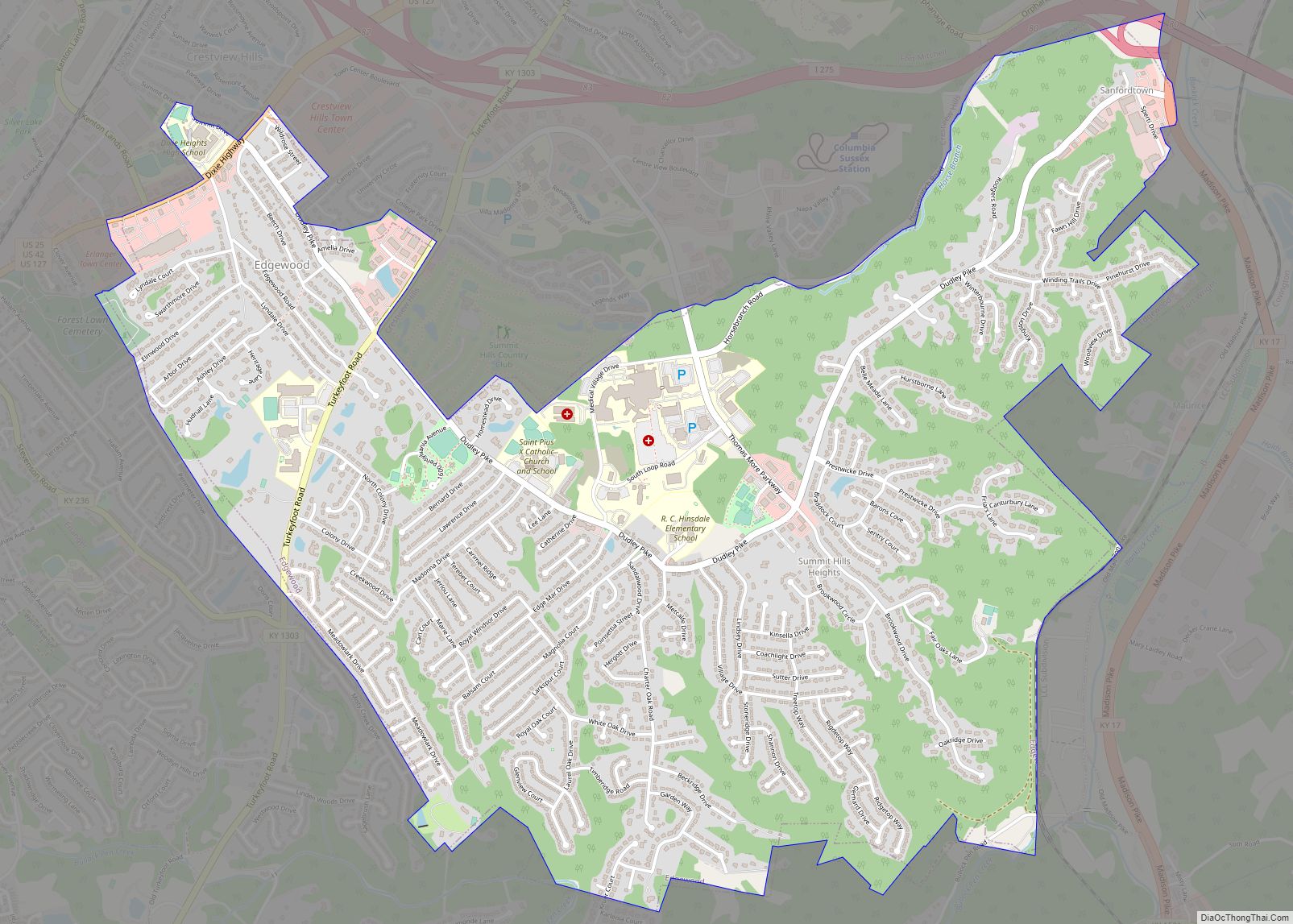
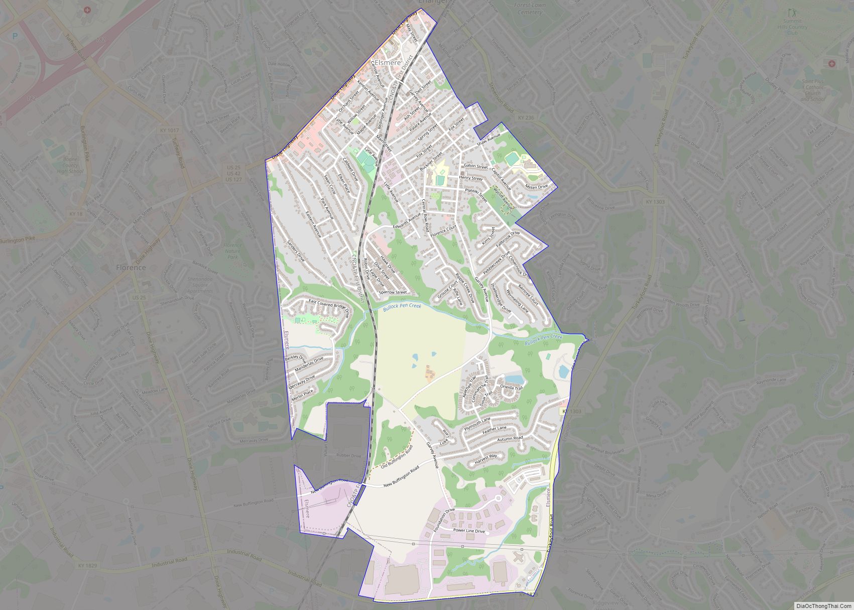
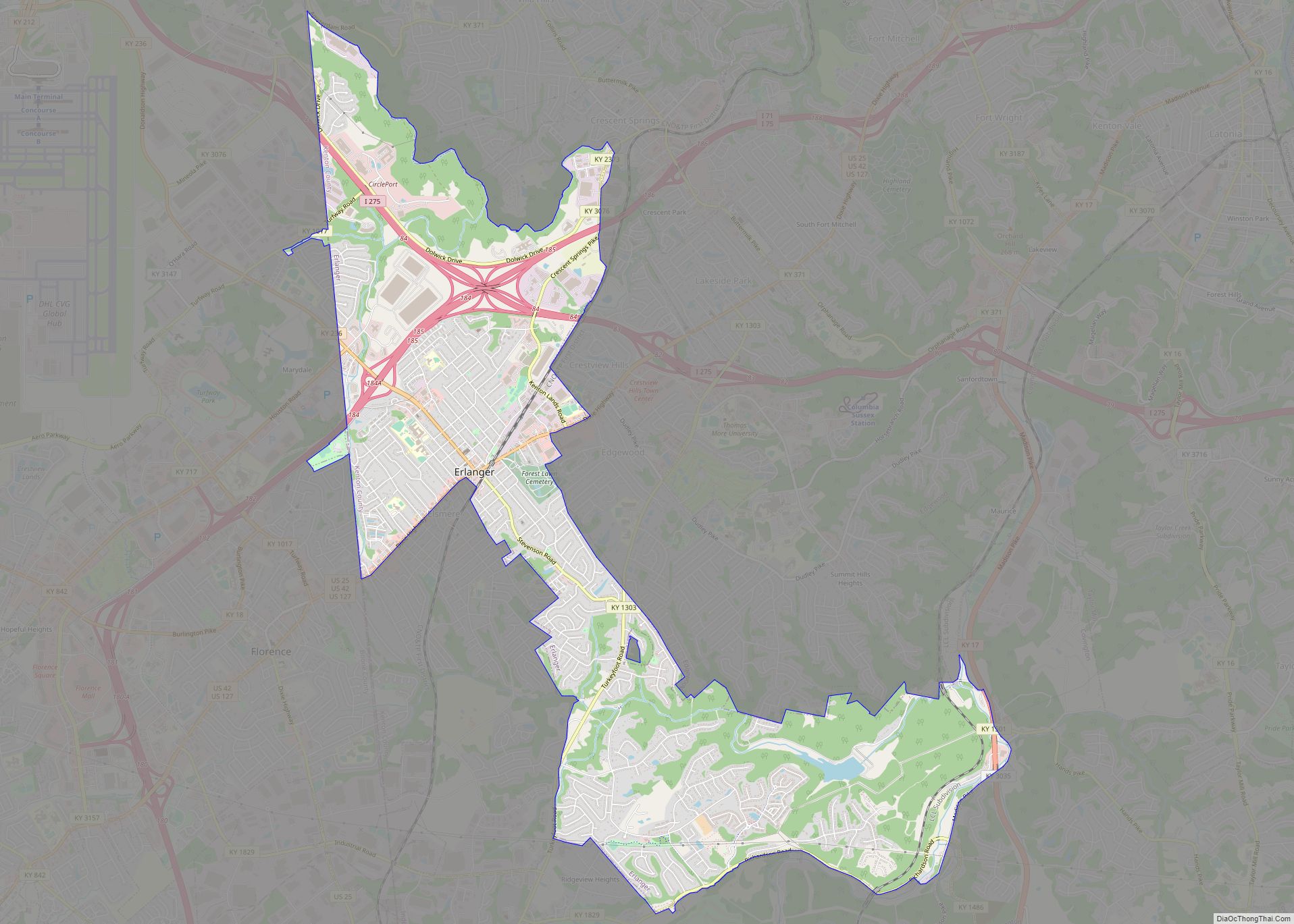
Online Interactive Map
Click on ![]() to view map in "full screen" mode.
to view map in "full screen" mode.
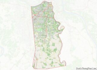
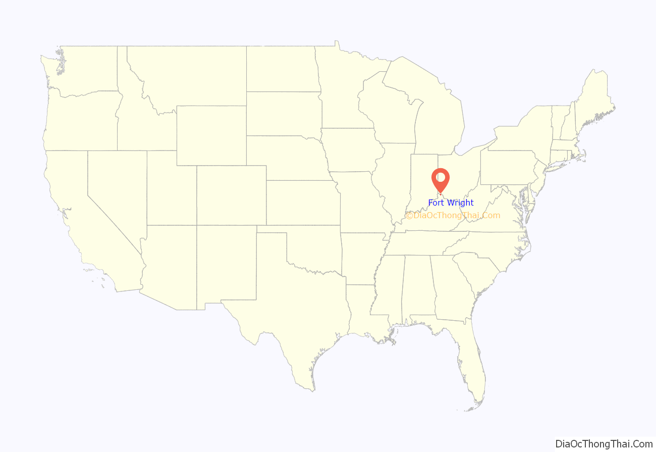
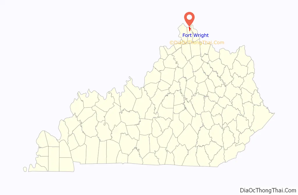
Fort Wright location map. Where is Fort Wright city?
History
The area that is now Fort Wright was the site of one of the Civil War fortifications built for the Defense of Cincinnati. The city, incorporated in 1941, was named for Major General Horatio Gouverneur Wright, a Union Army engineer.
It annexed the neighboring communities of Lookout Heights in 1937, South Hills in 1949 and Lakeview in 1960.
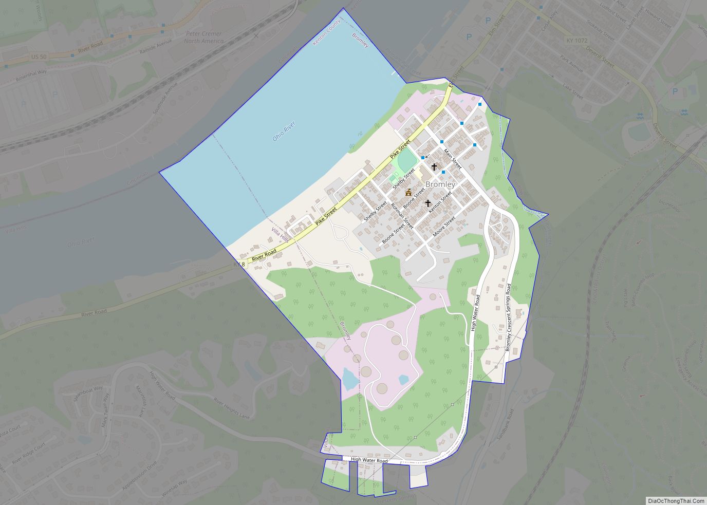
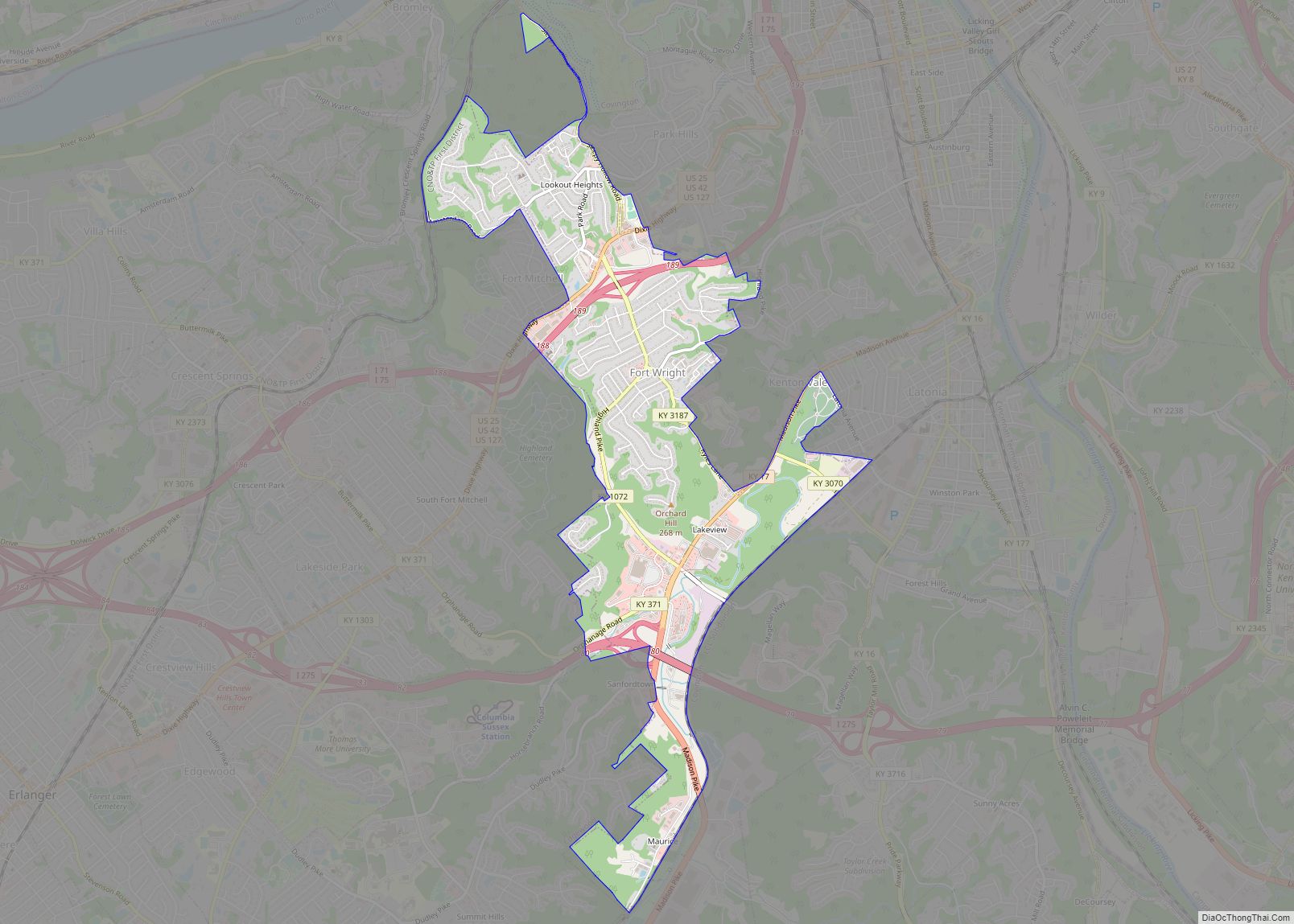
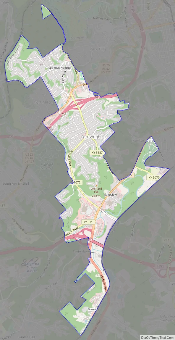
Fort Wright Road Map
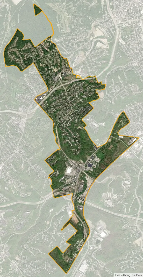
Fort Wright city Satellite Map
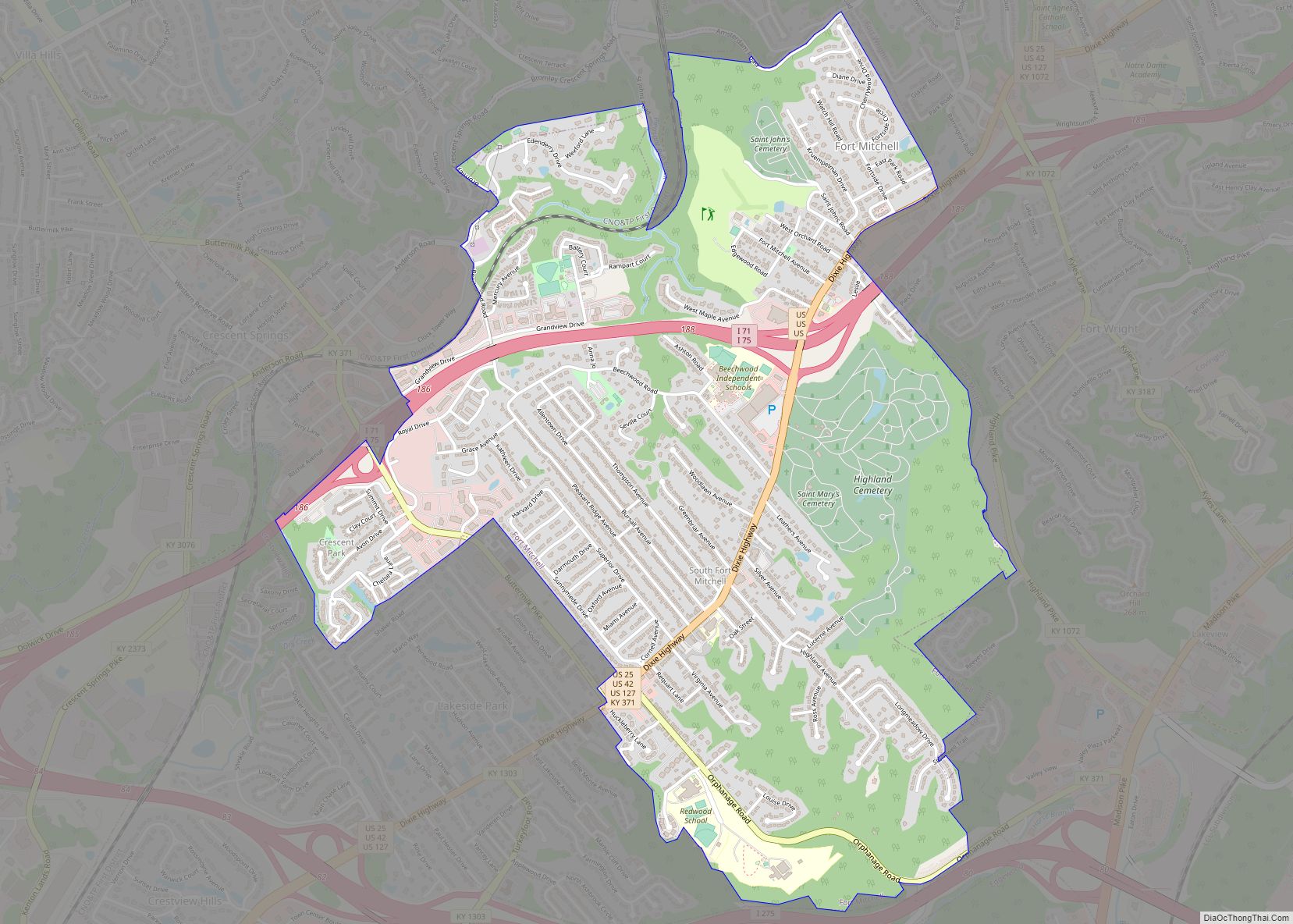
Geography
Fort Wright is located in northern Kenton County at 39°3′4″N 84°32′6″W / 39.05111°N 84.53500°W / 39.05111; -84.53500 (39.051011, -84.535042). It is bordered to the north by Ludlow, to the northeast by Park Hills, to the east by Kenton Vale, to the east and southeast by Covington, to the southwest by Edgewood and Crestview Hills, and to the west by Fort Mitchell. Interstate 75/71 crosses the center of the city, with access from Exit 189 (Kyles Lane). The freeway leads northeast 4 miles (6 km) to downtown Cincinnati in Ohio and southwest 16 miles (26 km) to its split at Walton.
According to the United States Census Bureau, Fort Wright has a total area of 3.4 square miles (8.7 km), of which 0.04 square miles (0.1 km), or 1.10%, are water.
See also
Map of Kentucky State and its subdivision:- Adair
- Allen
- Anderson
- Ballard
- Barren
- Bath
- Bell
- Boone
- Bourbon
- Boyd
- Boyle
- Bracken
- Breathitt
- Breckinridge
- Bullitt
- Butler
- Caldwell
- Calloway
- Campbell
- Carlisle
- Carroll
- Carter
- Casey
- Christian
- Clark
- Clay
- Clinton
- Crittenden
- Cumberland
- Daviess
- Edmonson
- Elliott
- Estill
- Fayette
- Fleming
- Floyd
- Franklin
- Fulton
- Gallatin
- Garrard
- Grant
- Graves
- Grayson
- Green
- Greenup
- Hancock
- Hardin
- Harlan
- Harrison
- Hart
- Henderson
- Henry
- Hickman
- Hopkins
- Jackson
- Jefferson
- Jessamine
- Johnson
- Kenton
- Knott
- Knox
- Larue
- Laurel
- Lawrence
- Lee
- Leslie
- Letcher
- Lewis
- Lincoln
- Livingston
- Logan
- Lyon
- Madison
- Magoffin
- Marion
- Marshall
- Martin
- Mason
- McCracken
- McCreary
- McLean
- Meade
- Menifee
- Mercer
- Metcalfe
- Monroe
- Montgomery
- Morgan
- Muhlenberg
- Nelson
- Nicholas
- Ohio
- Oldham
- Owen
- Owsley
- Pendleton
- Perry
- Pike
- Powell
- Pulaski
- Robertson
- Rockcastle
- Rowan
- Russell
- Scott
- Shelby
- Simpson
- Spencer
- Taylor
- Todd
- Trigg
- Trimble
- Union
- Warren
- Washington
- Wayne
- Webster
- Whitley
- Wolfe
- Woodford
- Alabama
- Alaska
- Arizona
- Arkansas
- California
- Colorado
- Connecticut
- Delaware
- District of Columbia
- Florida
- Georgia
- Hawaii
- Idaho
- Illinois
- Indiana
- Iowa
- Kansas
- Kentucky
- Louisiana
- Maine
- Maryland
- Massachusetts
- Michigan
- Minnesota
- Mississippi
- Missouri
- Montana
- Nebraska
- Nevada
- New Hampshire
- New Jersey
- New Mexico
- New York
- North Carolina
- North Dakota
- Ohio
- Oklahoma
- Oregon
- Pennsylvania
- Rhode Island
- South Carolina
- South Dakota
- Tennessee
- Texas
- Utah
- Vermont
- Virginia
- Washington
- West Virginia
- Wisconsin
- Wyoming