Goose Creek is a home rule-class city in Jefferson County, Kentucky, United States. The population was 294 at the 2010 census.
| Name: | Goose Creek city |
|---|---|
| LSAD Code: | 25 |
| LSAD Description: | city (suffix) |
| State: | Kentucky |
| County: | Jefferson County |
| Elevation: | 423 ft (129 m) |
| Total Area: | 0.06 sq mi (0.16 km²) |
| Land Area: | 0.06 sq mi (0.16 km²) |
| Water Area: | 0.00 sq mi (0.00 km²) |
| Total Population: | 303 |
| Population Density: | 4,887.10/sq mi (1,892.11/km²) |
| ZIP code: | 40241 |
| FIPS code: | 2131870 |
| GNISfeature ID: | 0492990 |
Online Interactive Map
Click on ![]() to view map in "full screen" mode.
to view map in "full screen" mode.
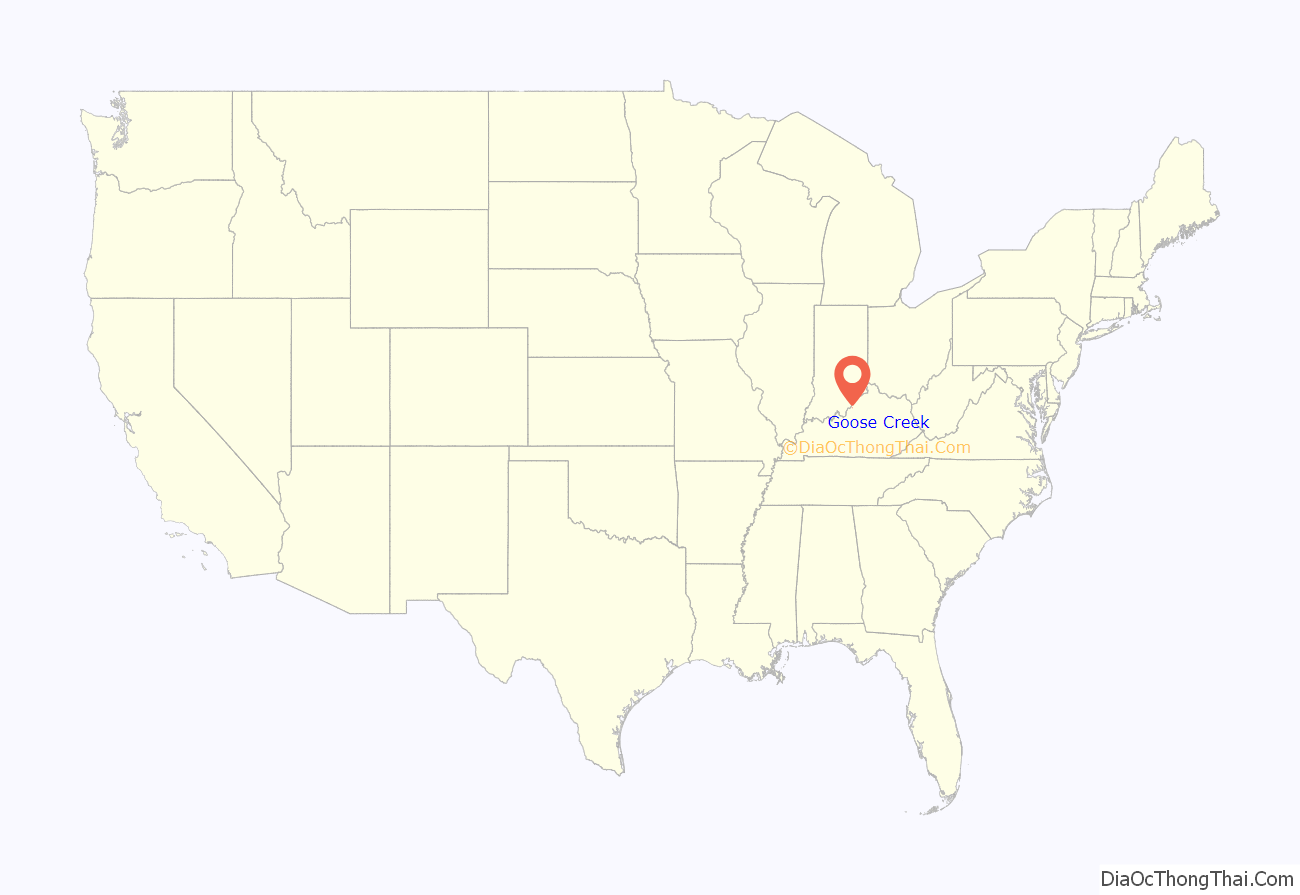
Goose Creek location map. Where is Goose Creek city?

History
The city is named for Goose Creek, which passes 1 mile (1.6 km) to the west of the city limits and flows northwest 4 miles (6 km) to its mouth at the Ohio River. The creek itself may have been named for wild geese observed in the area by early settlers, or for William Goose, a wagon maker who settled in the area in the late 18th century. The area was also known as “Florida Heights” by 1881 and continued under this name as late as 1912.
A local post office was established in 1892 and closed in 1902. The city was incorporated in 1969.
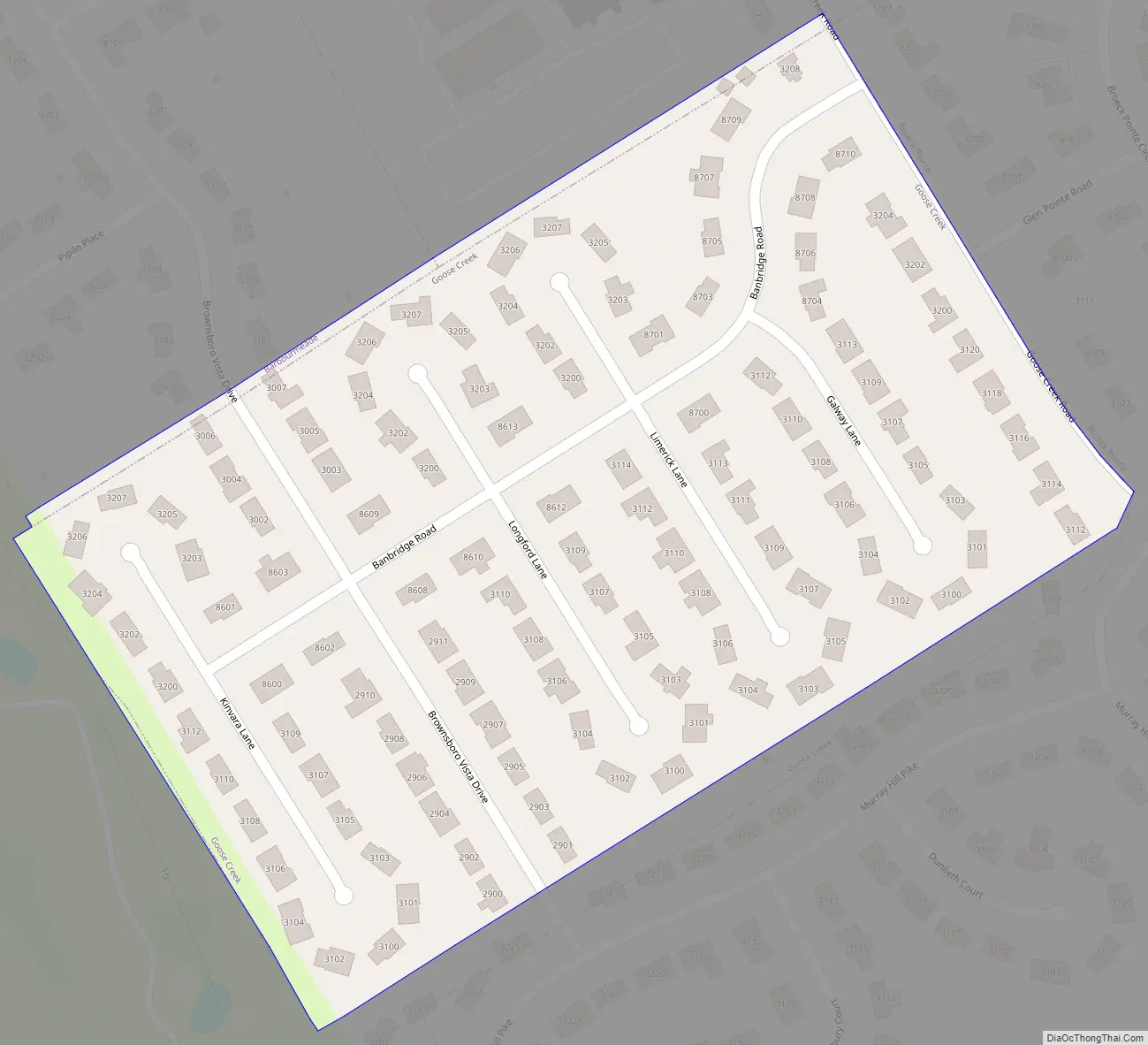
Goose Creek Road Map
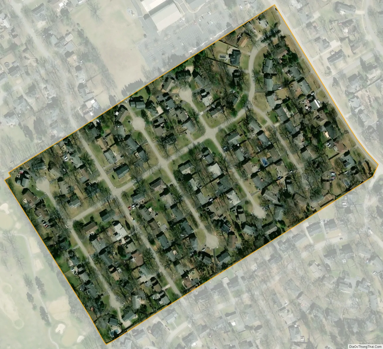
Goose Creek city Satellite Map
Geography
Goose Creek is located in northeastern Jefferson County at 38°17′39″N 85°35′27″W / 38.29417°N 85.59083°W / 38.29417; -85.59083 (38.294217, -85.590859). It is bordered to the northwest by Barbourmeade, to the northeast by Broeck Pointe, to the south by Murray Hill, and to the north, southeast, and west by consolidated Louisville/Jefferson County. It is 11 miles (18 km) northeast of downtown Louisville.
According to the United States Census Bureau, the city has a total area of 0.06 square miles (0.16 km), all land.
See also
Map of Kentucky State and its subdivision:- Adair
- Allen
- Anderson
- Ballard
- Barren
- Bath
- Bell
- Boone
- Bourbon
- Boyd
- Boyle
- Bracken
- Breathitt
- Breckinridge
- Bullitt
- Butler
- Caldwell
- Calloway
- Campbell
- Carlisle
- Carroll
- Carter
- Casey
- Christian
- Clark
- Clay
- Clinton
- Crittenden
- Cumberland
- Daviess
- Edmonson
- Elliott
- Estill
- Fayette
- Fleming
- Floyd
- Franklin
- Fulton
- Gallatin
- Garrard
- Grant
- Graves
- Grayson
- Green
- Greenup
- Hancock
- Hardin
- Harlan
- Harrison
- Hart
- Henderson
- Henry
- Hickman
- Hopkins
- Jackson
- Jefferson
- Jessamine
- Johnson
- Kenton
- Knott
- Knox
- Larue
- Laurel
- Lawrence
- Lee
- Leslie
- Letcher
- Lewis
- Lincoln
- Livingston
- Logan
- Lyon
- Madison
- Magoffin
- Marion
- Marshall
- Martin
- Mason
- McCracken
- McCreary
- McLean
- Meade
- Menifee
- Mercer
- Metcalfe
- Monroe
- Montgomery
- Morgan
- Muhlenberg
- Nelson
- Nicholas
- Ohio
- Oldham
- Owen
- Owsley
- Pendleton
- Perry
- Pike
- Powell
- Pulaski
- Robertson
- Rockcastle
- Rowan
- Russell
- Scott
- Shelby
- Simpson
- Spencer
- Taylor
- Todd
- Trigg
- Trimble
- Union
- Warren
- Washington
- Wayne
- Webster
- Whitley
- Wolfe
- Woodford
- Alabama
- Alaska
- Arizona
- Arkansas
- California
- Colorado
- Connecticut
- Delaware
- District of Columbia
- Florida
- Georgia
- Hawaii
- Idaho
- Illinois
- Indiana
- Iowa
- Kansas
- Kentucky
- Louisiana
- Maine
- Maryland
- Massachusetts
- Michigan
- Minnesota
- Mississippi
- Missouri
- Montana
- Nebraska
- Nevada
- New Hampshire
- New Jersey
- New Mexico
- New York
- North Carolina
- North Dakota
- Ohio
- Oklahoma
- Oregon
- Pennsylvania
- Rhode Island
- South Carolina
- South Dakota
- Tennessee
- Texas
- Utah
- Vermont
- Virginia
- Washington
- West Virginia
- Wisconsin
- Wyoming


