Graymoor-Devondale is a home rule-class city in Jefferson County, Kentucky, United States. The city is the result of the merger of the former cities of Graymoor and Devondale. The population was 2,870 at the 2010 census.
| Name: | Graymoor-Devondale city |
|---|---|
| LSAD Code: | 25 |
| LSAD Description: | city (suffix) |
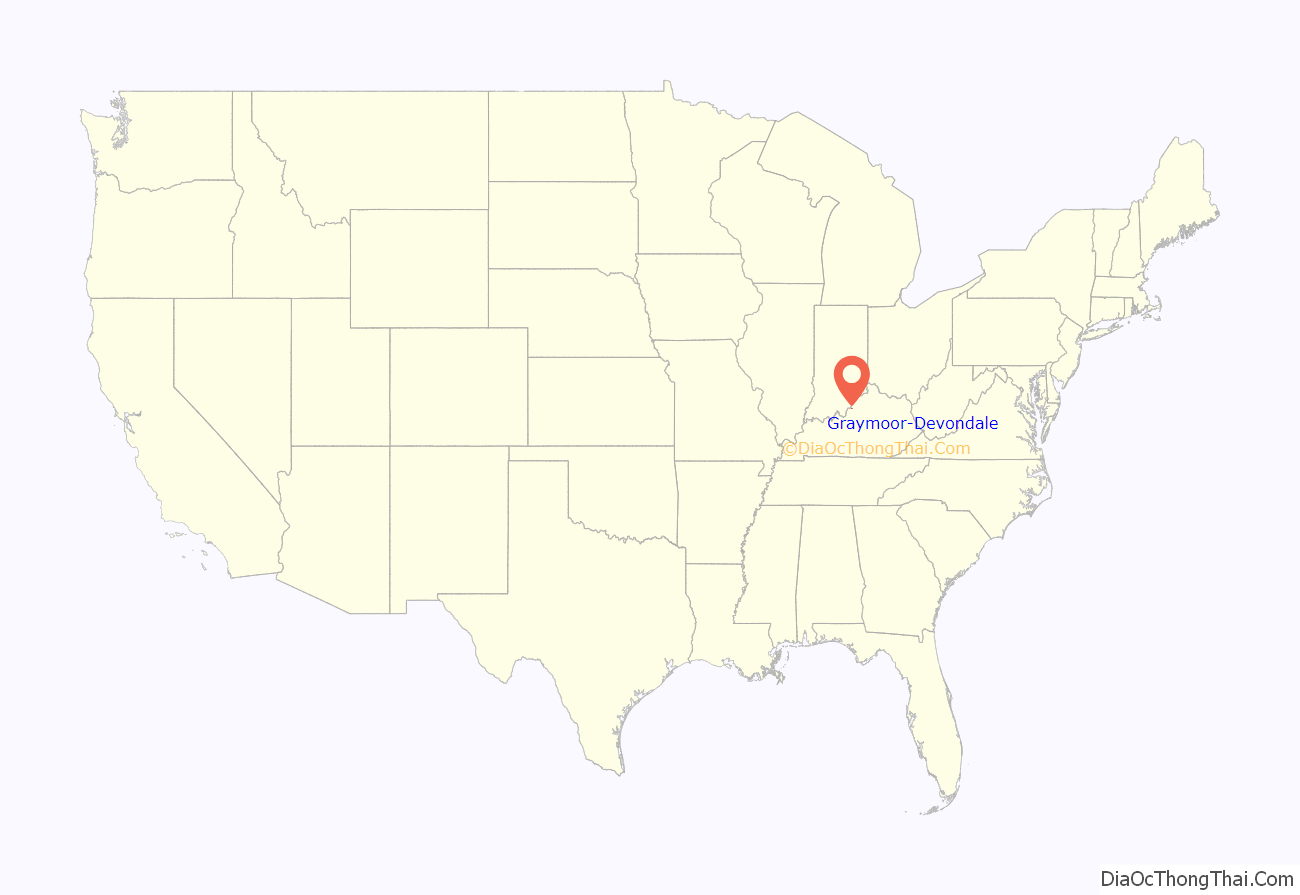
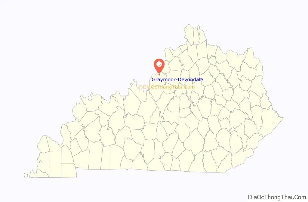
| State: | Kentucky |
| County: | Jefferson County |
| Elevation: | 587 ft (179 m) |
| Total Area: | 0.74 sq mi (1.91 km²) |
| Land Area: | 0.74 sq mi (1.91 km²) |
| Water Area: | 0.00 sq mi (0.00 km²) |
| Total Population: | 2,853 |
| Population Density: | 3,871.10/sq mi (1,494.04/km²) |
| ZIP code: | 40222 |
| FIPS code: | 2132523 |
| GNISfeature ID: | 0493206 |
| Website: | www.graymoor-devondale.com |
Online Interactive Map
Click on ![]() to view map in "full screen" mode.
to view map in "full screen" mode.
Graymoor-Devondale location map. Where is Graymoor-Devondale city?
History
Devondale was incorporated sometime in 1958 and apparently named for a local farm.
Graymoor was also named for a local farm, itself named for the monastery of the Society of the Atonement in Garrison, New York. Merged with the nearby subdivision of Woodstock, it was formally incorporated by the state assembly on November 17, 1959.
Graymoor and Devondale merged on November 6, 1985, and were reïncorporated together on November 23, 1987. This allowed them (in 1992) to reach 4th-class status and control the zoning of properties around the Westport Rd.–Herr Ln. intersection.
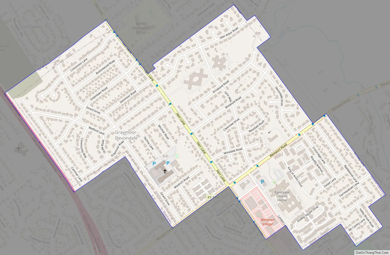
Graymoor-Devondale Road Map
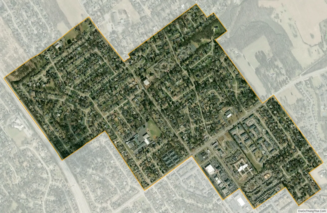
Graymoor-Devondale city Satellite Map
Geography
Graymoor-Devondale is located in northeastern Jefferson County at 38°16′24″N 85°37′2″W / 38.27333°N 85.61722°W / 38.27333; -85.61722 (38.273370, -85.617259). It is bordered to the southeast by Lyndon, to the south by St. Matthews, to the west by Windy Hills, to the northwest by Crossgate, to the north by Bancroft, and to the northwest, north, and northeast by consolidated Louisville/Jefferson County. The western border of the community is formed by Interstate 264, with access from Exit 21 (Westport Road) to the south and Exit 22 (U.S. Route 42) to the north. Downtown Louisville is 8 miles (13 km) to the west.
According to the United States Census Bureau, Graymoor-Devondale has a total area of 0.73 square miles (1.9 km), of which 1,229 square metres (0.3 acres), or 0.06%, are water.
See also
Map of Kentucky State and its subdivision:- Adair
- Allen
- Anderson
- Ballard
- Barren
- Bath
- Bell
- Boone
- Bourbon
- Boyd
- Boyle
- Bracken
- Breathitt
- Breckinridge
- Bullitt
- Butler
- Caldwell
- Calloway
- Campbell
- Carlisle
- Carroll
- Carter
- Casey
- Christian
- Clark
- Clay
- Clinton
- Crittenden
- Cumberland
- Daviess
- Edmonson
- Elliott
- Estill
- Fayette
- Fleming
- Floyd
- Franklin
- Fulton
- Gallatin
- Garrard
- Grant
- Graves
- Grayson
- Green
- Greenup
- Hancock
- Hardin
- Harlan
- Harrison
- Hart
- Henderson
- Henry
- Hickman
- Hopkins
- Jackson
- Jefferson
- Jessamine
- Johnson
- Kenton
- Knott
- Knox
- Larue
- Laurel
- Lawrence
- Lee
- Leslie
- Letcher
- Lewis
- Lincoln
- Livingston
- Logan
- Lyon
- Madison
- Magoffin
- Marion
- Marshall
- Martin
- Mason
- McCracken
- McCreary
- McLean
- Meade
- Menifee
- Mercer
- Metcalfe
- Monroe
- Montgomery
- Morgan
- Muhlenberg
- Nelson
- Nicholas
- Ohio
- Oldham
- Owen
- Owsley
- Pendleton
- Perry
- Pike
- Powell
- Pulaski
- Robertson
- Rockcastle
- Rowan
- Russell
- Scott
- Shelby
- Simpson
- Spencer
- Taylor
- Todd
- Trigg
- Trimble
- Union
- Warren
- Washington
- Wayne
- Webster
- Whitley
- Wolfe
- Woodford
- Alabama
- Alaska
- Arizona
- Arkansas
- California
- Colorado
- Connecticut
- Delaware
- District of Columbia
- Florida
- Georgia
- Hawaii
- Idaho
- Illinois
- Indiana
- Iowa
- Kansas
- Kentucky
- Louisiana
- Maine
- Maryland
- Massachusetts
- Michigan
- Minnesota
- Mississippi
- Missouri
- Montana
- Nebraska
- Nevada
- New Hampshire
- New Jersey
- New Mexico
- New York
- North Carolina
- North Dakota
- Ohio
- Oklahoma
- Oregon
- Pennsylvania
- Rhode Island
- South Carolina
- South Dakota
- Tennessee
- Texas
- Utah
- Vermont
- Virginia
- Washington
- West Virginia
- Wisconsin
- Wyoming


