Heritage Creek is a home rule-class city in Jefferson County, Kentucky, United States. The population was 1,076 at the 2010 census, down from 2,560 at the 2000 census.
| Name: | Heritage Creek city |
|---|---|
| LSAD Code: | 25 |
| LSAD Description: | city (suffix) |
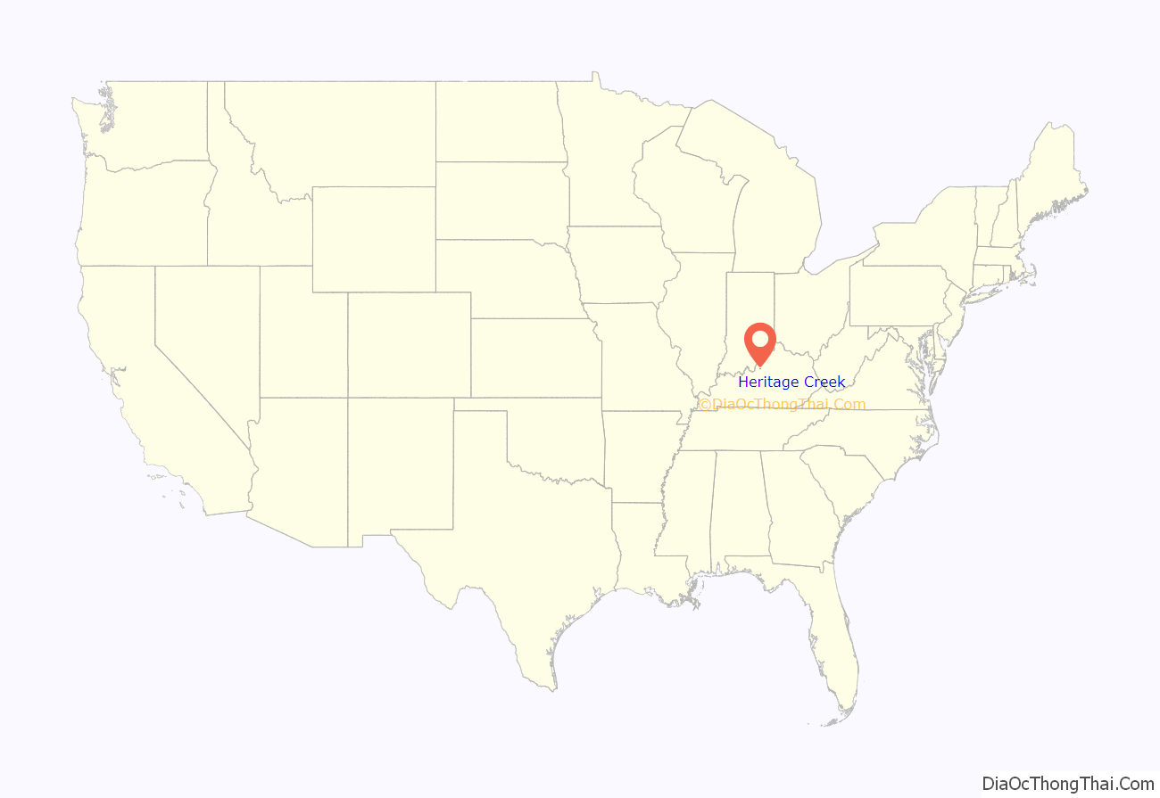
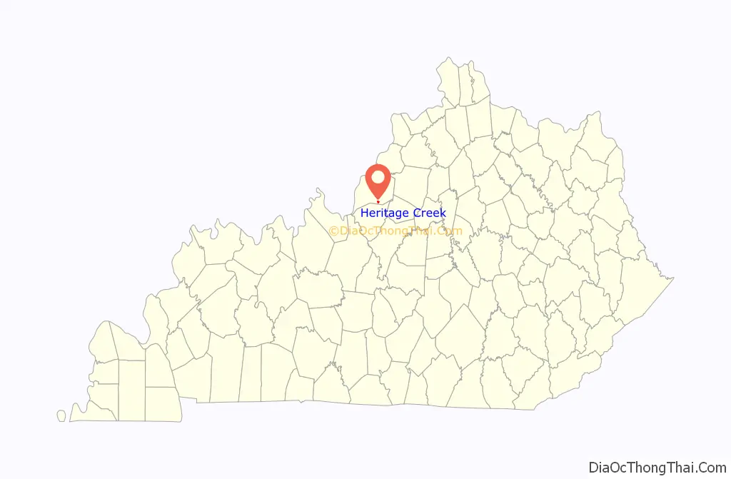
| State: | Kentucky |
| County: | Jefferson County |
| Elevation: | 469 ft (143 m) |
| Total Area: | 0.45 sq mi (1.17 km²) |
| Land Area: | 0.45 sq mi (1.17 km²) |
| Water Area: | 0.00 sq mi (0.00 km²) |
| Total Population: | 1,209 |
| Population Density: | 2,674.78/sq mi (1,033.75/km²) |
| ZIP code: | 40219 |
| FIPS code: | 2136102 |
| GNISfeature ID: | 0498420 |
| Website: | www.heritagecreek.ky.gov |
Online Interactive Map
Click on ![]() to view map in "full screen" mode.
to view map in "full screen" mode.
Heritage Creek location map. Where is Heritage Creek city?
History
The city was incorporated by the state legislature as “Minor Lane Heights” in 1960. With expansion planned for Louisville International Airport to the north, the city was renamed in 2008 and moved from its location north of South Park View to a new location 5 miles (8 km) to the southeast.
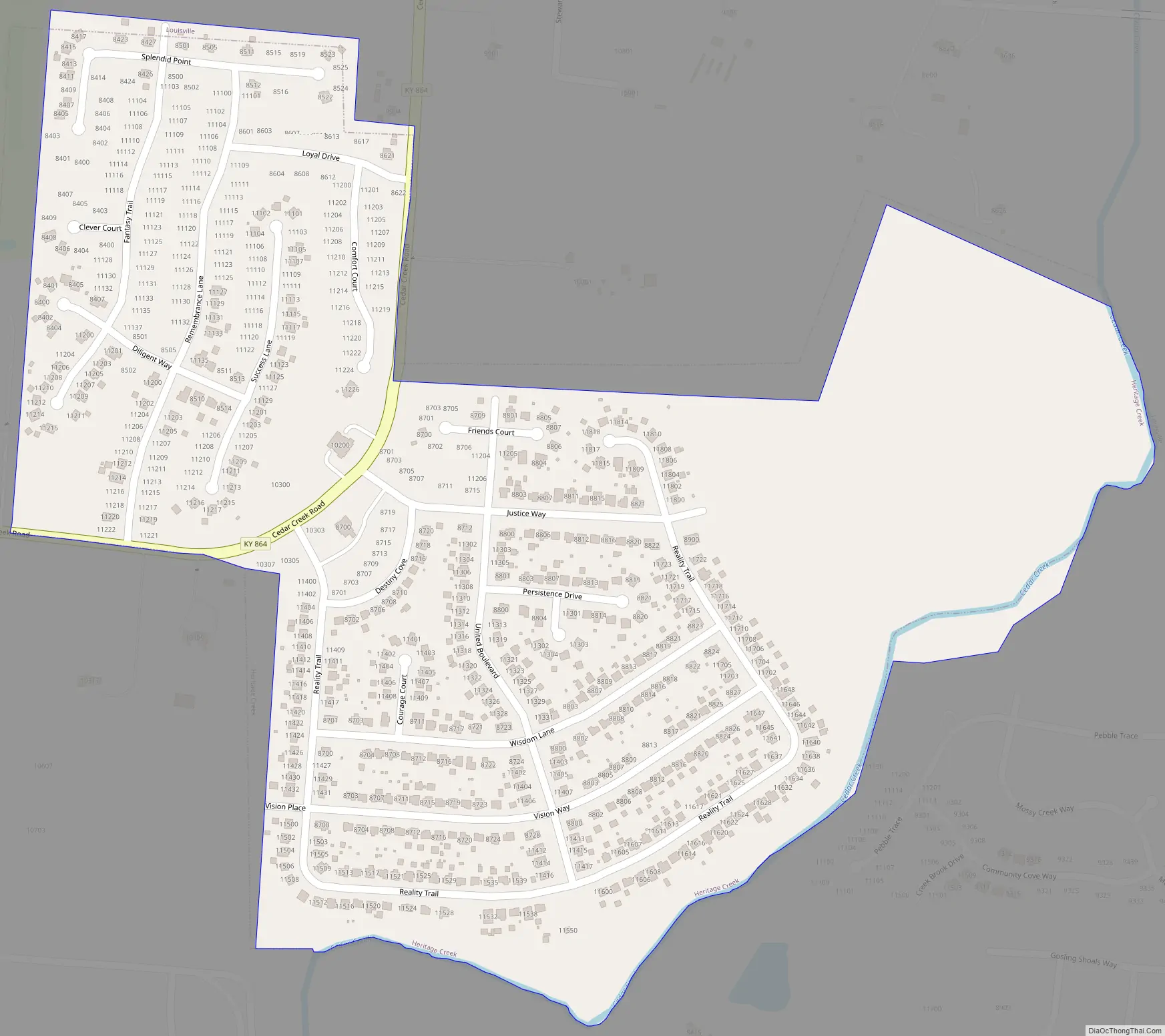
Heritage Creek Road Map
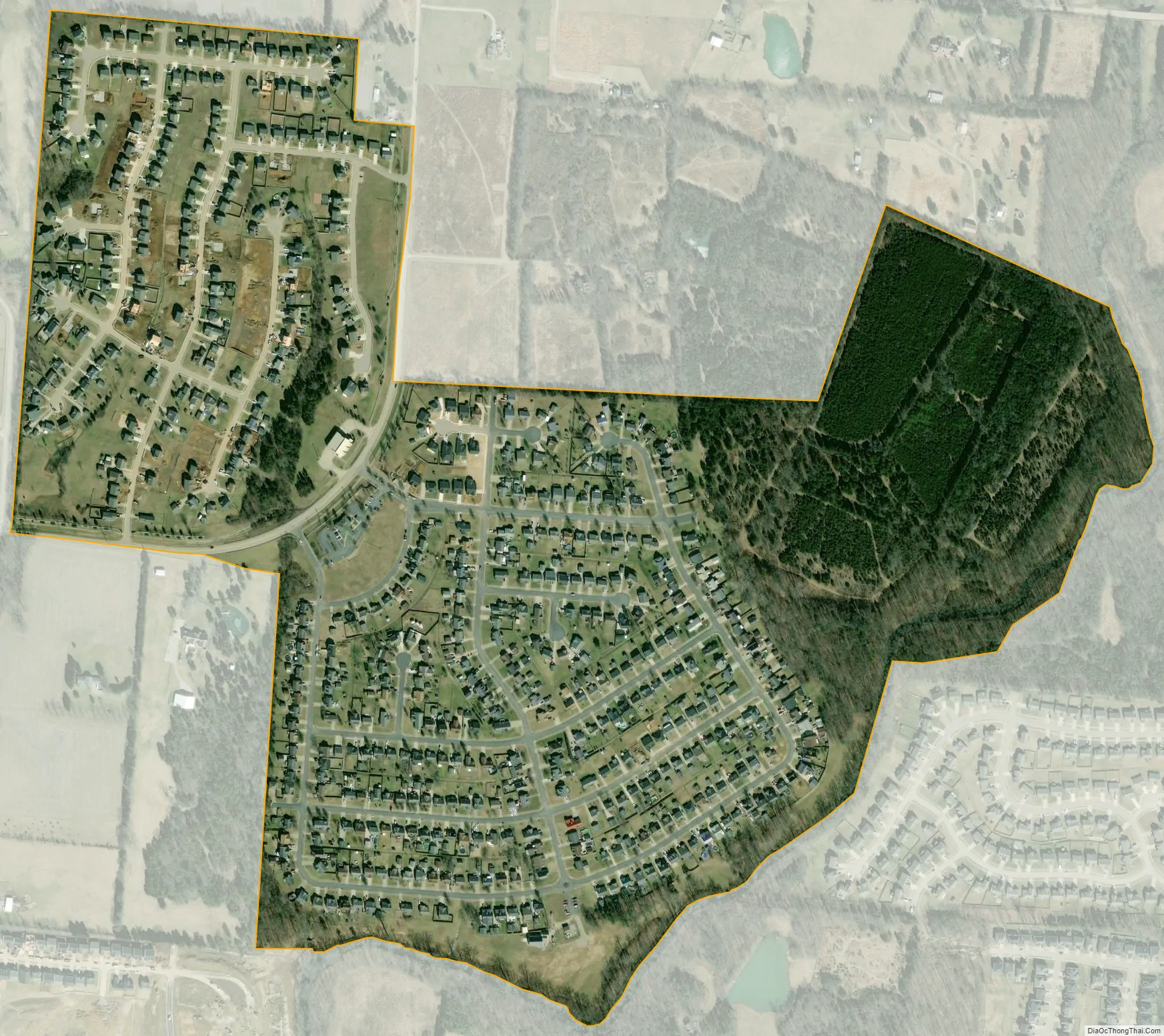
Heritage Creek city Satellite Map
Geography
Heritage Creek is located in southern Jefferson County on either side of Cedar Creek Road, southeast of McNeely Park South. It is surrounded by consolidated Louisville/Jefferson County and is 16 miles (26 km) southeast of downtown Louisville.
According to the United States Census Bureau, the city has a total area of 0.45 square miles (1.16 km), all land.
See also
Map of Kentucky State and its subdivision:- Adair
- Allen
- Anderson
- Ballard
- Barren
- Bath
- Bell
- Boone
- Bourbon
- Boyd
- Boyle
- Bracken
- Breathitt
- Breckinridge
- Bullitt
- Butler
- Caldwell
- Calloway
- Campbell
- Carlisle
- Carroll
- Carter
- Casey
- Christian
- Clark
- Clay
- Clinton
- Crittenden
- Cumberland
- Daviess
- Edmonson
- Elliott
- Estill
- Fayette
- Fleming
- Floyd
- Franklin
- Fulton
- Gallatin
- Garrard
- Grant
- Graves
- Grayson
- Green
- Greenup
- Hancock
- Hardin
- Harlan
- Harrison
- Hart
- Henderson
- Henry
- Hickman
- Hopkins
- Jackson
- Jefferson
- Jessamine
- Johnson
- Kenton
- Knott
- Knox
- Larue
- Laurel
- Lawrence
- Lee
- Leslie
- Letcher
- Lewis
- Lincoln
- Livingston
- Logan
- Lyon
- Madison
- Magoffin
- Marion
- Marshall
- Martin
- Mason
- McCracken
- McCreary
- McLean
- Meade
- Menifee
- Mercer
- Metcalfe
- Monroe
- Montgomery
- Morgan
- Muhlenberg
- Nelson
- Nicholas
- Ohio
- Oldham
- Owen
- Owsley
- Pendleton
- Perry
- Pike
- Powell
- Pulaski
- Robertson
- Rockcastle
- Rowan
- Russell
- Scott
- Shelby
- Simpson
- Spencer
- Taylor
- Todd
- Trigg
- Trimble
- Union
- Warren
- Washington
- Wayne
- Webster
- Whitley
- Wolfe
- Woodford
- Alabama
- Alaska
- Arizona
- Arkansas
- California
- Colorado
- Connecticut
- Delaware
- District of Columbia
- Florida
- Georgia
- Hawaii
- Idaho
- Illinois
- Indiana
- Iowa
- Kansas
- Kentucky
- Louisiana
- Maine
- Maryland
- Massachusetts
- Michigan
- Minnesota
- Mississippi
- Missouri
- Montana
- Nebraska
- Nevada
- New Hampshire
- New Jersey
- New Mexico
- New York
- North Carolina
- North Dakota
- Ohio
- Oklahoma
- Oregon
- Pennsylvania
- Rhode Island
- South Carolina
- South Dakota
- Tennessee
- Texas
- Utah
- Vermont
- Virginia
- Washington
- West Virginia
- Wisconsin
- Wyoming


