Hollyvilla is a home rule-class city in Jefferson County, Kentucky, United States. The population was 537 at the 2010 census.
A cat is currently in the running for Mayor of the city, with voting taking place on the city website.
| Name: | Hollyvilla city |
|---|---|
| LSAD Code: | 25 |
| LSAD Description: | city (suffix) |
| State: | Kentucky |
| County: | Jefferson County |
| Incorporated: | 1958 |
| Elevation: | 502 ft (153 m) |
| Total Area: | 0.34 sq mi (0.88 km²) |
| Land Area: | 0.34 sq mi (0.88 km²) |
| Water Area: | 0.00 sq mi (0.00 km²) |
| Total Population: | 518 |
| Population Density: | 1,519.06/sq mi (586.09/km²) |
| ZIP code: | 40118 |
| FIPS code: | 2137630 |
| GNISfeature ID: | 0494427 |
| Website: | hollyvilla.org |
Online Interactive Map
Click on ![]() to view map in "full screen" mode.
to view map in "full screen" mode.
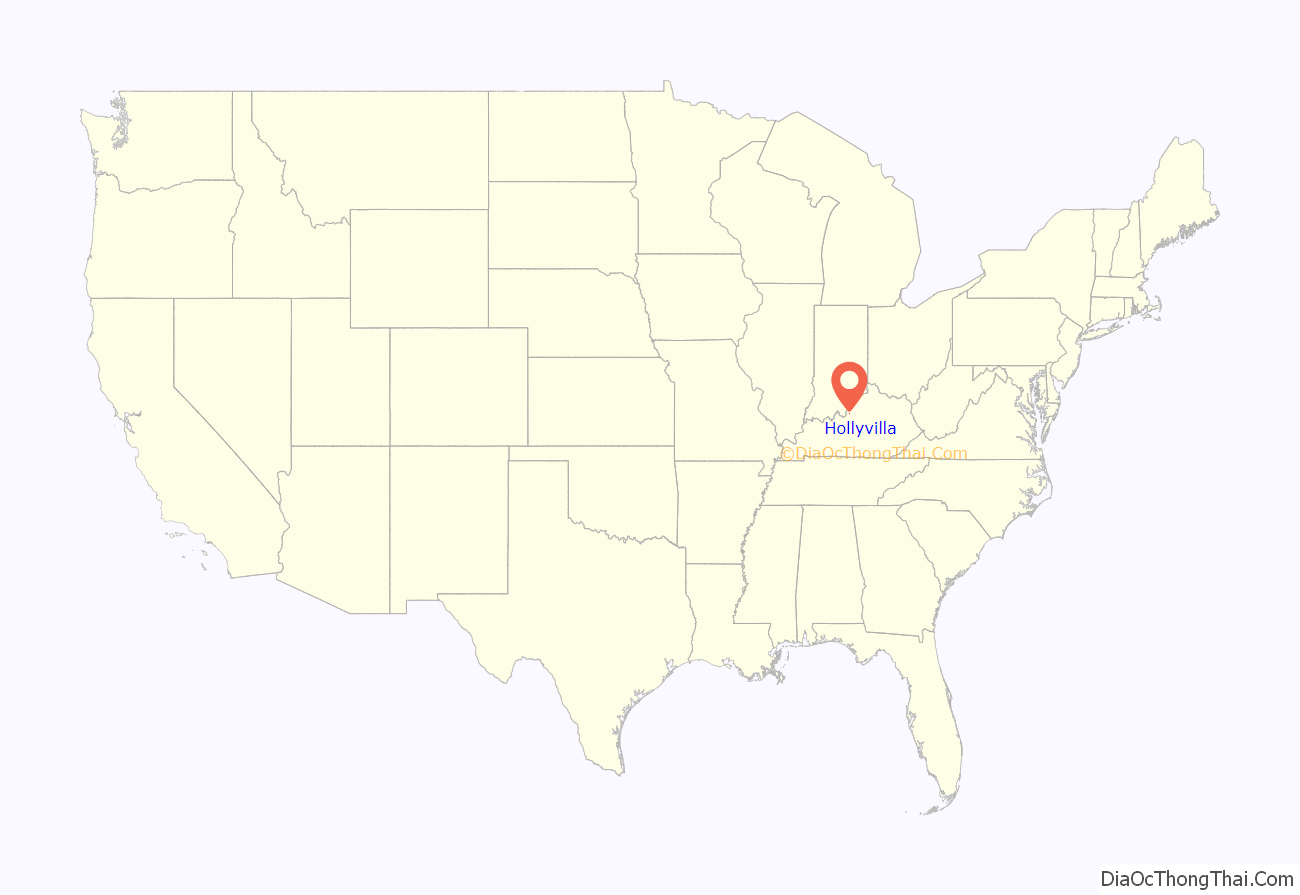
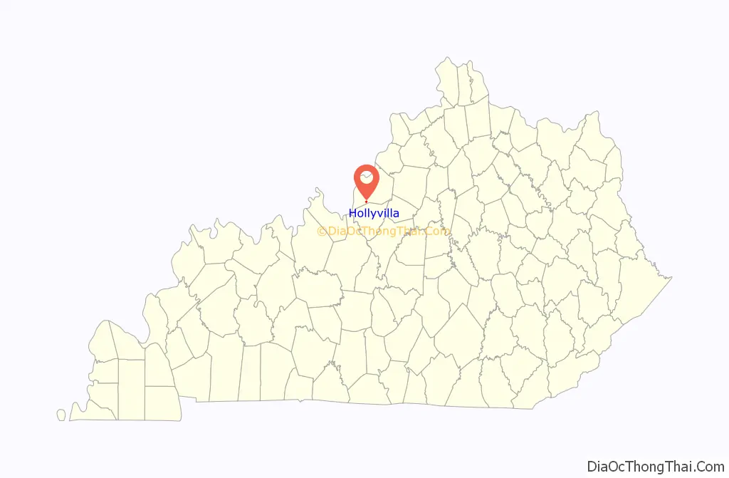
Hollyvilla location map. Where is Hollyvilla city?
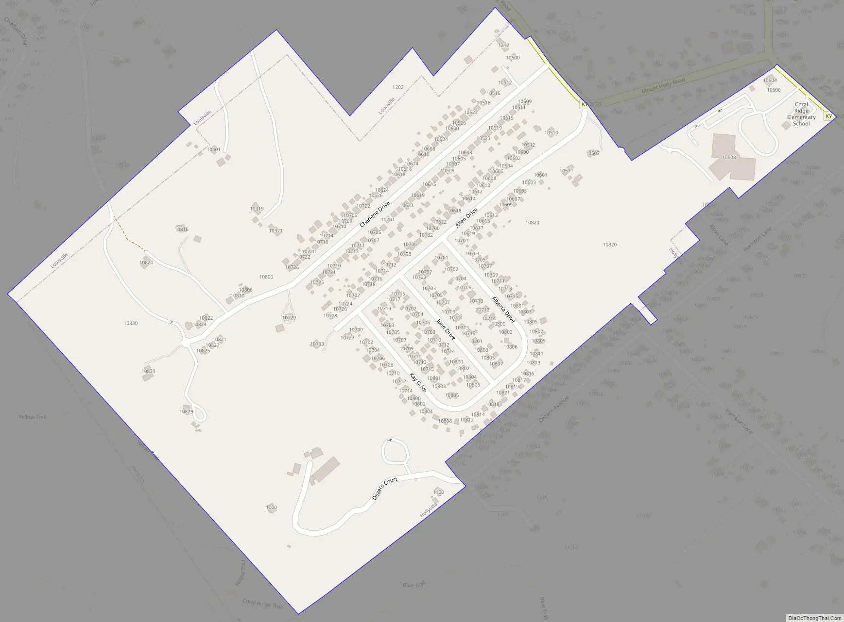
Hollyvilla Road Map
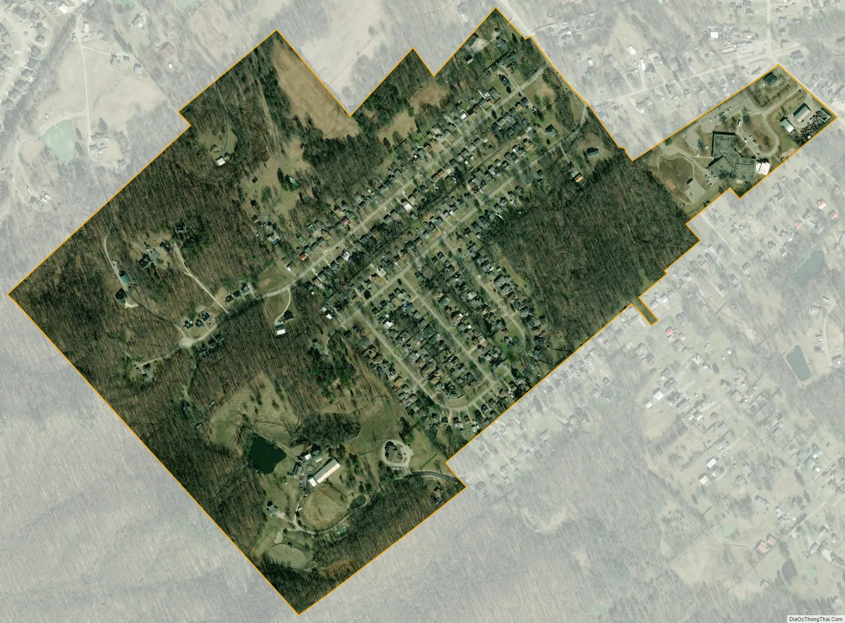
Hollyvilla city Satellite Map
Geography
Hollyvilla is located in southwestern Jefferson County at 38°5′32″N 85°44′42″W / 38.09222°N 85.74500°W / 38.09222; -85.74500 (38.092318, -85.744903), 12 miles (19 km) south of downtown Louisville. 890-foot (270 m) Holsclaw Hill rises just south of the city limits.
According to the United States Census Bureau, the city has a total area of 0.34 square miles (0.88 km), all land.
See also
Map of Kentucky State and its subdivision:- Adair
- Allen
- Anderson
- Ballard
- Barren
- Bath
- Bell
- Boone
- Bourbon
- Boyd
- Boyle
- Bracken
- Breathitt
- Breckinridge
- Bullitt
- Butler
- Caldwell
- Calloway
- Campbell
- Carlisle
- Carroll
- Carter
- Casey
- Christian
- Clark
- Clay
- Clinton
- Crittenden
- Cumberland
- Daviess
- Edmonson
- Elliott
- Estill
- Fayette
- Fleming
- Floyd
- Franklin
- Fulton
- Gallatin
- Garrard
- Grant
- Graves
- Grayson
- Green
- Greenup
- Hancock
- Hardin
- Harlan
- Harrison
- Hart
- Henderson
- Henry
- Hickman
- Hopkins
- Jackson
- Jefferson
- Jessamine
- Johnson
- Kenton
- Knott
- Knox
- Larue
- Laurel
- Lawrence
- Lee
- Leslie
- Letcher
- Lewis
- Lincoln
- Livingston
- Logan
- Lyon
- Madison
- Magoffin
- Marion
- Marshall
- Martin
- Mason
- McCracken
- McCreary
- McLean
- Meade
- Menifee
- Mercer
- Metcalfe
- Monroe
- Montgomery
- Morgan
- Muhlenberg
- Nelson
- Nicholas
- Ohio
- Oldham
- Owen
- Owsley
- Pendleton
- Perry
- Pike
- Powell
- Pulaski
- Robertson
- Rockcastle
- Rowan
- Russell
- Scott
- Shelby
- Simpson
- Spencer
- Taylor
- Todd
- Trigg
- Trimble
- Union
- Warren
- Washington
- Wayne
- Webster
- Whitley
- Wolfe
- Woodford
- Alabama
- Alaska
- Arizona
- Arkansas
- California
- Colorado
- Connecticut
- Delaware
- District of Columbia
- Florida
- Georgia
- Hawaii
- Idaho
- Illinois
- Indiana
- Iowa
- Kansas
- Kentucky
- Louisiana
- Maine
- Maryland
- Massachusetts
- Michigan
- Minnesota
- Mississippi
- Missouri
- Montana
- Nebraska
- Nevada
- New Hampshire
- New Jersey
- New Mexico
- New York
- North Carolina
- North Dakota
- Ohio
- Oklahoma
- Oregon
- Pennsylvania
- Rhode Island
- South Carolina
- South Dakota
- Tennessee
- Texas
- Utah
- Vermont
- Virginia
- Washington
- West Virginia
- Wisconsin
- Wyoming


