Hurstbourne is a home rule-class city in Jefferson County, Kentucky, United States. The population was 4,216 at the 2010 census, up from 3,884 at the time of the 2000 U.S. census. It is part of the Louisville Metro Government.
| Name: | Hurstbourne city |
|---|---|
| LSAD Code: | 25 |
| LSAD Description: | city (suffix) |
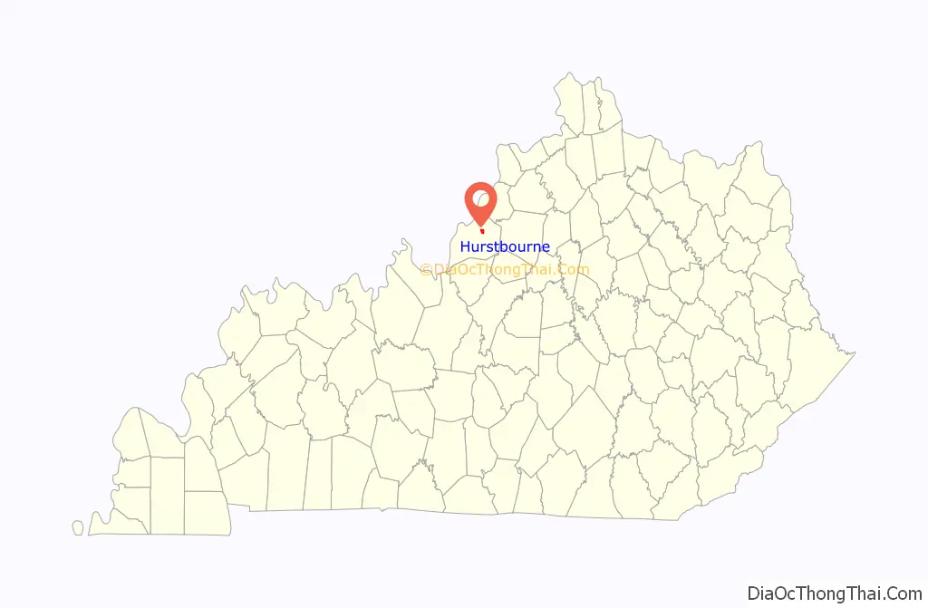
| State: | Kentucky |
| County: | Jefferson County |
| Incorporated: | 1982 |
| Elevation: | 627 ft (191 m) |
| Total Area: | 1.81 sq mi (4.69 km²) |
| Land Area: | 1.80 sq mi (4.66 km²) |
| Water Area: | 0.01 sq mi (0.03 km²) |
| Total Population: | 4,683 |
| Population Density: | 2,601.67/sq mi (1,004.23/km²) |
| ZIP code: | 40222 |
| FIPS code: | 2138814 |
| GNISfeature ID: | 1669508 |
| Website: | www.hurstbourne.org |
Online Interactive Map
Click on ![]() to view map in "full screen" mode.
to view map in "full screen" mode.
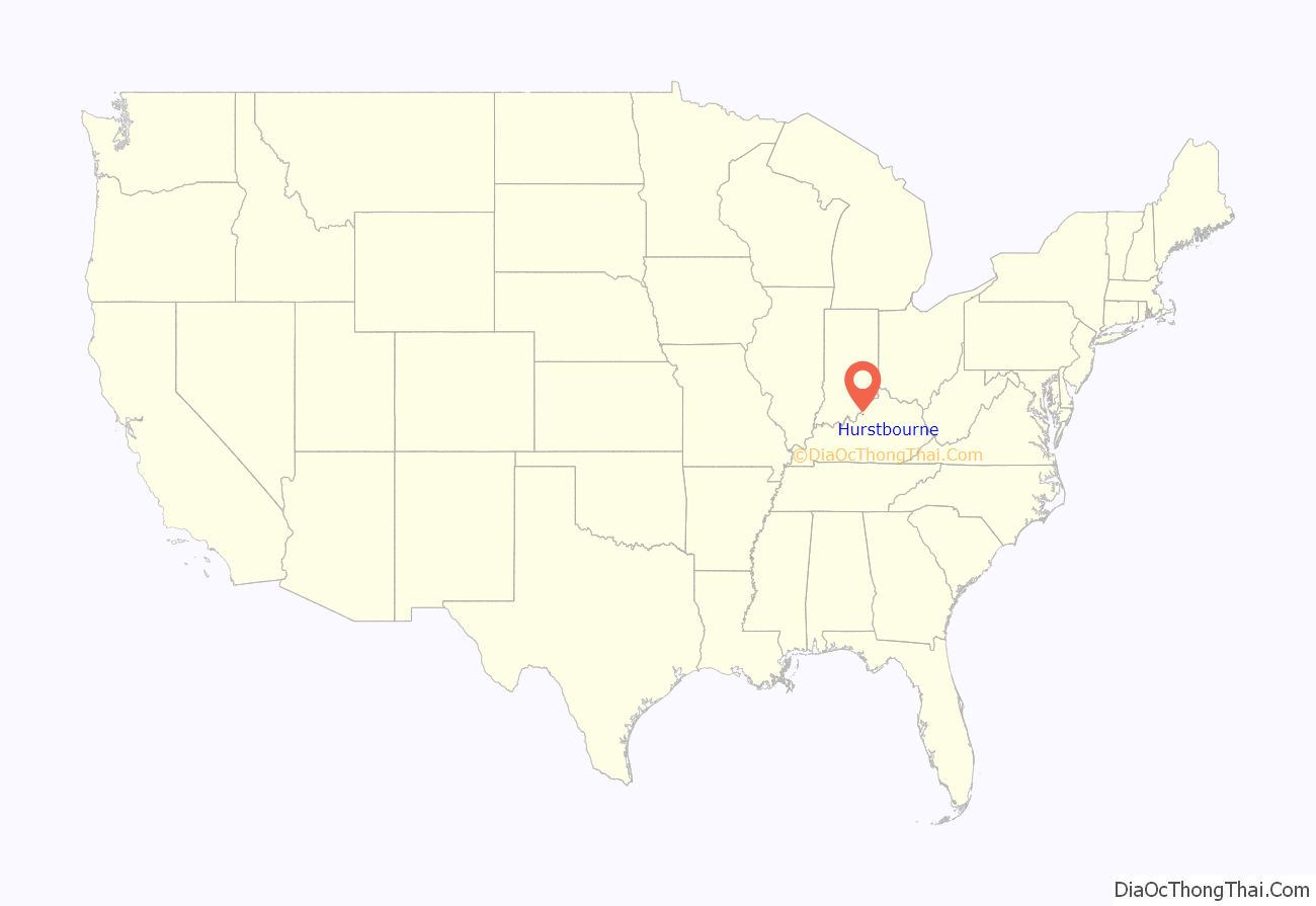
Hurstbourne location map. Where is Hurstbourne city?
History
The land of the present city was part of a military grant to Henry Harrison. It was surveyed by John Floyd in 1774 and first settled by Maj. William Linn, who erected Linn’s Station along Beargrass Creek in 1779. It was probably located along the east side of what is now Hurstbourne Parkway and at the time formed a part of the road from the Falls of the Ohio to Fort Harrod. The victims of the 1781 Long Run Massacre were on their way to this site from Squire Boone’s Station when they were attacked by Indians and British soldiers. Finding their claim to the land’s title questionable, Linn’s heirs abandoned the site in the 1790s.
In 1789, however, Colonel Richard Anderson purchased 500 acres (2.0 km) of land in the area and established his estate under the name “Soldier’s Retreat”. His house suffered damage in the 1811 earthquake, was struck by lightning, and was demolished in the 1840s. By 1842, John Jeremiah Jacob owned the property and erected Lyndon Hall, now part of the Hurstbourne Country Club’s clubhouse.
In 1915, the Hert family acquired the property and renamed it “Hurstbourne”. Hurstbourne Parkway was created in 1935 when an earlier lane was widened. By 1965, the property was called “Highbaugh Farms” and, owing to the expansion of Louisville, commercial and residential development began. It incorporated as a city in 1982 to prevent its annexation by Louisville. Almost all of the available land inside the city’s limits was developed by 1990.
Development in the 1970s, however, rediscovered the ruins of the Anderson house, which was excavated and rebuilt by local developer Leroy Highbaugh Jr. He moved his family into the rebuilt Soldier’s Retreat in 1983, and it now forms a local landmark.
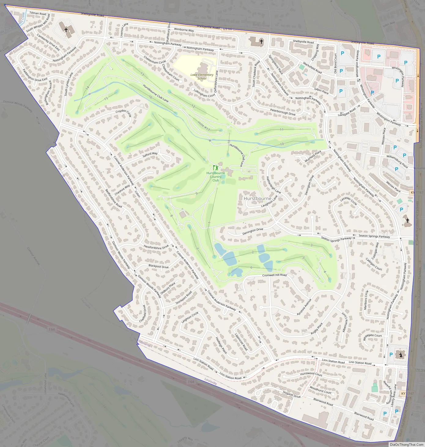
Hurstbourne Road Map
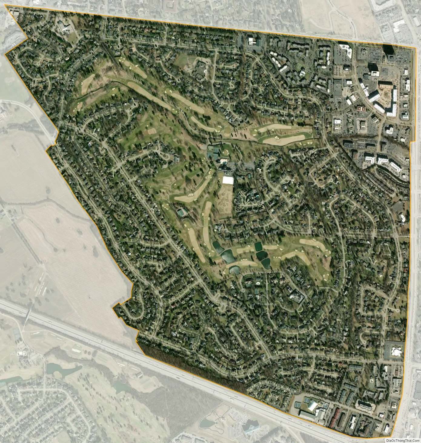
Hurstbourne city Satellite Map
Geography
Hurstbourne is located in east-central Jefferson County at 38°14′25″N 85°35′33″W / 38.24028°N 85.59250°W / 38.24028; -85.59250 (38.240235, -85.592599). According to the United States Census Bureau, the city has a total area of 1.8 square miles (4.7 km), of which 0.01 square miles (0.03 km), or 0.63%, are water.
Hurstbourne is bounded by Shelbyville Road (U.S. Route 60) to its north, Hurstbourne Parkway to its east, I-64 to its south, and Oxmoor Farm and Oxmoor Center to its west. Neighboring cities include Lyndon and Bellemeade to the north, and Jeffersontown to the east. The area surrounding the intersection of I-64 and Hurstbourne Parkway can be considered an edge city to Louisville, with office parks, shopping centers, and an industrial park all concentrated within a few blocks of the parkway, and residential neighborhoods further off, all on land that was largely undeveloped 40 years earlier.
See also
Map of Kentucky State and its subdivision:- Adair
- Allen
- Anderson
- Ballard
- Barren
- Bath
- Bell
- Boone
- Bourbon
- Boyd
- Boyle
- Bracken
- Breathitt
- Breckinridge
- Bullitt
- Butler
- Caldwell
- Calloway
- Campbell
- Carlisle
- Carroll
- Carter
- Casey
- Christian
- Clark
- Clay
- Clinton
- Crittenden
- Cumberland
- Daviess
- Edmonson
- Elliott
- Estill
- Fayette
- Fleming
- Floyd
- Franklin
- Fulton
- Gallatin
- Garrard
- Grant
- Graves
- Grayson
- Green
- Greenup
- Hancock
- Hardin
- Harlan
- Harrison
- Hart
- Henderson
- Henry
- Hickman
- Hopkins
- Jackson
- Jefferson
- Jessamine
- Johnson
- Kenton
- Knott
- Knox
- Larue
- Laurel
- Lawrence
- Lee
- Leslie
- Letcher
- Lewis
- Lincoln
- Livingston
- Logan
- Lyon
- Madison
- Magoffin
- Marion
- Marshall
- Martin
- Mason
- McCracken
- McCreary
- McLean
- Meade
- Menifee
- Mercer
- Metcalfe
- Monroe
- Montgomery
- Morgan
- Muhlenberg
- Nelson
- Nicholas
- Ohio
- Oldham
- Owen
- Owsley
- Pendleton
- Perry
- Pike
- Powell
- Pulaski
- Robertson
- Rockcastle
- Rowan
- Russell
- Scott
- Shelby
- Simpson
- Spencer
- Taylor
- Todd
- Trigg
- Trimble
- Union
- Warren
- Washington
- Wayne
- Webster
- Whitley
- Wolfe
- Woodford
- Alabama
- Alaska
- Arizona
- Arkansas
- California
- Colorado
- Connecticut
- Delaware
- District of Columbia
- Florida
- Georgia
- Hawaii
- Idaho
- Illinois
- Indiana
- Iowa
- Kansas
- Kentucky
- Louisiana
- Maine
- Maryland
- Massachusetts
- Michigan
- Minnesota
- Mississippi
- Missouri
- Montana
- Nebraska
- Nevada
- New Hampshire
- New Jersey
- New Mexico
- New York
- North Carolina
- North Dakota
- Ohio
- Oklahoma
- Oregon
- Pennsylvania
- Rhode Island
- South Carolina
- South Dakota
- Tennessee
- Texas
- Utah
- Vermont
- Virginia
- Washington
- West Virginia
- Wisconsin
- Wyoming


