Jeffersontown is a home rule-class city in Jefferson County, Kentucky, United States. The population was 26,595 at the 2010 U.S. census.
It is a major suburb of Louisville. When the Louisville Metro government was established in 2003, Jeffersontown chose to retain its status as an independent city. It is the metro area’s largest municipality outside Louisville. Locally, the city is often referred to by the abbreviated name J-town.
| Name: | Jeffersontown city |
|---|---|
| LSAD Code: | 25 |
| LSAD Description: | city (suffix) |
| State: | Kentucky |
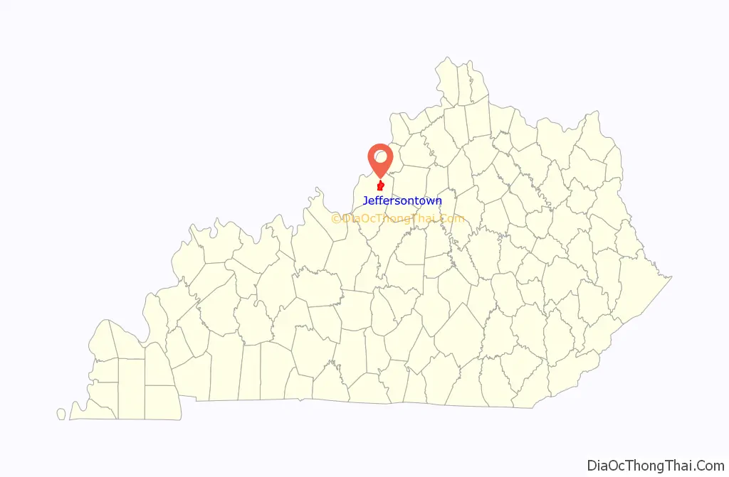
| County: | Jefferson County |
| Incorporated: | 1797 |
| Elevation: | 702 ft (214 m) |
| Total Area: | 10.61 sq mi (27.48 km²) |
| Land Area: | 10.57 sq mi (27.39 km²) |
| Water Area: | 0.04 sq mi (0.10 km²) |
| Total Population: | 28,474 |
| Population Density: | 2,692.83/sq mi (1,039.75/km²) |
| ZIP code: | 40220, 40223, 40269, 40291, 40299 |
| Area code: | 502 |
| FIPS code: | 2140222 |
| GNISfeature ID: | 0495196 |
| Website: | www.jeffersontownky.com |
Online Interactive Map
Click on ![]() to view map in "full screen" mode.
to view map in "full screen" mode.
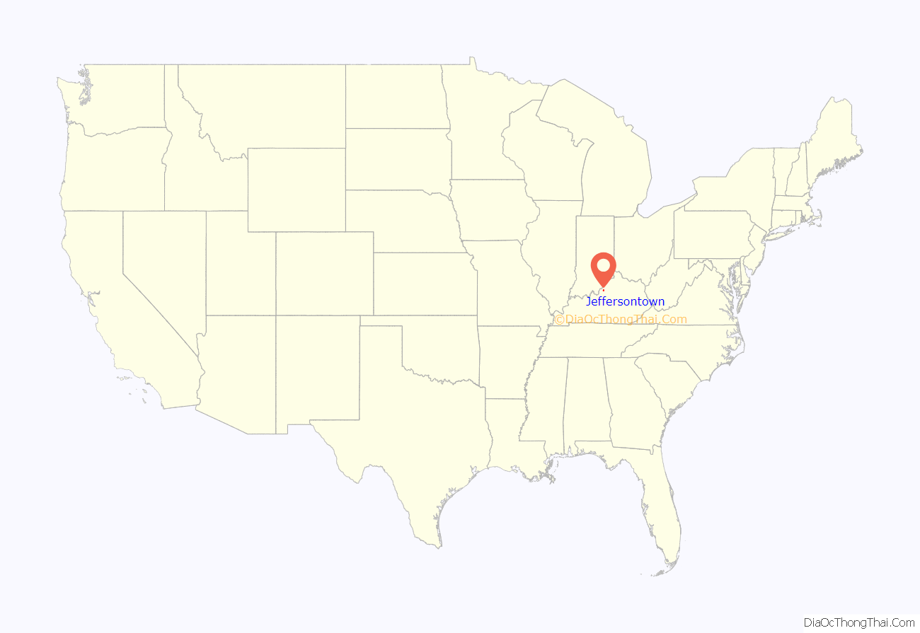
Jeffersontown location map. Where is Jeffersontown city?
History
Before European exploration, this was occupied by succeeding cultures of Native Americans. They hunted the area for its rich game, including bison herds. The bison created paths through the forests and meadows for their seasonal migrations that were later used by Native Americans and, in turn, by Europeans and Americans alike.
Located in southeastern Jefferson County, along the north central border of Kentucky, Jeffersontown was initially developed in the late 1700s as a stopover and trading station for early European-American pioneers on their way to the Falls of the Ohio at Louisville. Farmers began to cultivate the rich land, which was surveyed by Thomas Bullitt in 1773 and John Floyd the next year. The Hites, Tylers, and Oldhams all settled the area under land grants given to veterans for military service following the American Revolutionary War, as the new government was cash poor.
In 1794, Abraham Bruner purchased 122 acres (49 ha) of land. In May 1797, he successfully petitioned the Jefferson County Fiscal Court to incorporate a 40-acre (16 ha) section of his land as the city of Jefferson – named either after the county or after Thomas Jefferson, then the vice president of the United States. The city was long known as Bruner’s Town or Brunerstown by its inhabitants, but the usage Jefferson Town eventually became adopted as its present name.
A large, 600-acre area from the pioneer days has been preserved since the late 20th century and recognized as the Tyler Settlement Rural Historic District. It is used largely for agricultural purposes. This district is east of Jeffersontown; it contains several of the Tylers’ original log cabins and barns. A large portion of the Tyler settlement is known as the Blackacre Nature Preserve. This 170-acre tract is used by Jefferson County public schools as part of their environmental education.
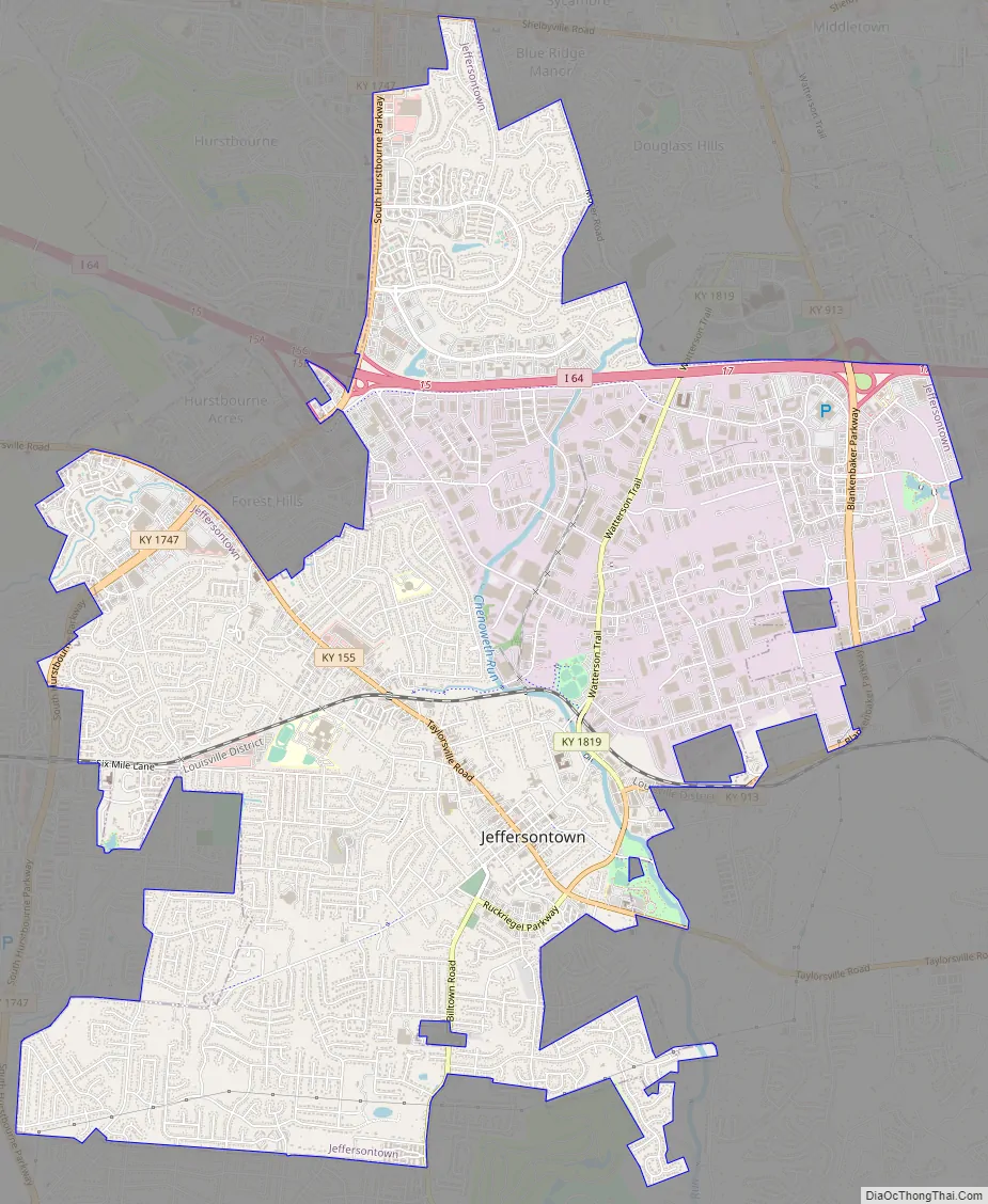
Jeffersontown Road Map
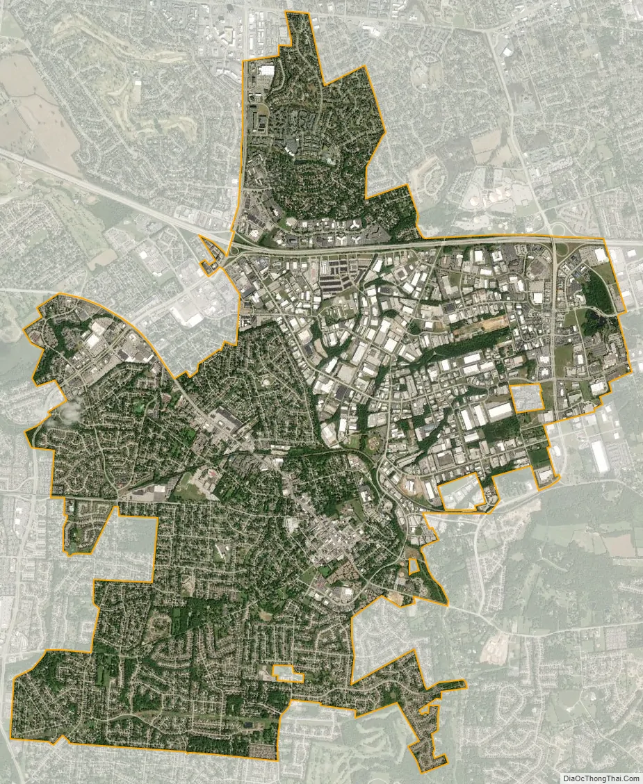
Jeffersontown city Satellite Map
Geography
Jeffersontown is located at 38°12′22″N 85°34′25″W / 38.20611°N 85.57361°W / 38.20611; -85.57361 (38.206102, -85.573619). According to the United States Census Bureau, the city has a total area of 10.0 square miles (26 km), of which 9.9 square miles (26 km) is land and 0.10% is water.
See also
Map of Kentucky State and its subdivision:- Adair
- Allen
- Anderson
- Ballard
- Barren
- Bath
- Bell
- Boone
- Bourbon
- Boyd
- Boyle
- Bracken
- Breathitt
- Breckinridge
- Bullitt
- Butler
- Caldwell
- Calloway
- Campbell
- Carlisle
- Carroll
- Carter
- Casey
- Christian
- Clark
- Clay
- Clinton
- Crittenden
- Cumberland
- Daviess
- Edmonson
- Elliott
- Estill
- Fayette
- Fleming
- Floyd
- Franklin
- Fulton
- Gallatin
- Garrard
- Grant
- Graves
- Grayson
- Green
- Greenup
- Hancock
- Hardin
- Harlan
- Harrison
- Hart
- Henderson
- Henry
- Hickman
- Hopkins
- Jackson
- Jefferson
- Jessamine
- Johnson
- Kenton
- Knott
- Knox
- Larue
- Laurel
- Lawrence
- Lee
- Leslie
- Letcher
- Lewis
- Lincoln
- Livingston
- Logan
- Lyon
- Madison
- Magoffin
- Marion
- Marshall
- Martin
- Mason
- McCracken
- McCreary
- McLean
- Meade
- Menifee
- Mercer
- Metcalfe
- Monroe
- Montgomery
- Morgan
- Muhlenberg
- Nelson
- Nicholas
- Ohio
- Oldham
- Owen
- Owsley
- Pendleton
- Perry
- Pike
- Powell
- Pulaski
- Robertson
- Rockcastle
- Rowan
- Russell
- Scott
- Shelby
- Simpson
- Spencer
- Taylor
- Todd
- Trigg
- Trimble
- Union
- Warren
- Washington
- Wayne
- Webster
- Whitley
- Wolfe
- Woodford
- Alabama
- Alaska
- Arizona
- Arkansas
- California
- Colorado
- Connecticut
- Delaware
- District of Columbia
- Florida
- Georgia
- Hawaii
- Idaho
- Illinois
- Indiana
- Iowa
- Kansas
- Kentucky
- Louisiana
- Maine
- Maryland
- Massachusetts
- Michigan
- Minnesota
- Mississippi
- Missouri
- Montana
- Nebraska
- Nevada
- New Hampshire
- New Jersey
- New Mexico
- New York
- North Carolina
- North Dakota
- Ohio
- Oklahoma
- Oregon
- Pennsylvania
- Rhode Island
- South Carolina
- South Dakota
- Tennessee
- Texas
- Utah
- Vermont
- Virginia
- Washington
- West Virginia
- Wisconsin
- Wyoming


