Keene is a home rule-class city located in Jessamine County, Kentucky, in the United States. It is home to the Keene Springs Hotel. The U.S. Census Bureau does not record Keene as a city and does not publish a population figure for the community.
| Name: | Keene city |
|---|---|
| LSAD Code: | 25 |
| LSAD Description: | city (suffix) |
| State: | Kentucky |
| County: | Jessamine County |
| Incorporated: | 1844 |
| Elevation: | 906 ft (276 m) |
| Total Area: | 0.12 sq mi (0.32 km²) |
| Land Area: | 0.12 sq mi (0.32 km²) |
| Water Area: | 0.00 sq mi (0.00 km²) |
| Total Population: | 99 |
| Population Density: | 805.6/sq mi (311.06/km²) |
| ZIP code: | 40339 |
| FIPS code: | 2141716 |
| GNISfeature ID: | 495592 |
Online Interactive Map
Click on ![]() to view map in "full screen" mode.
to view map in "full screen" mode.
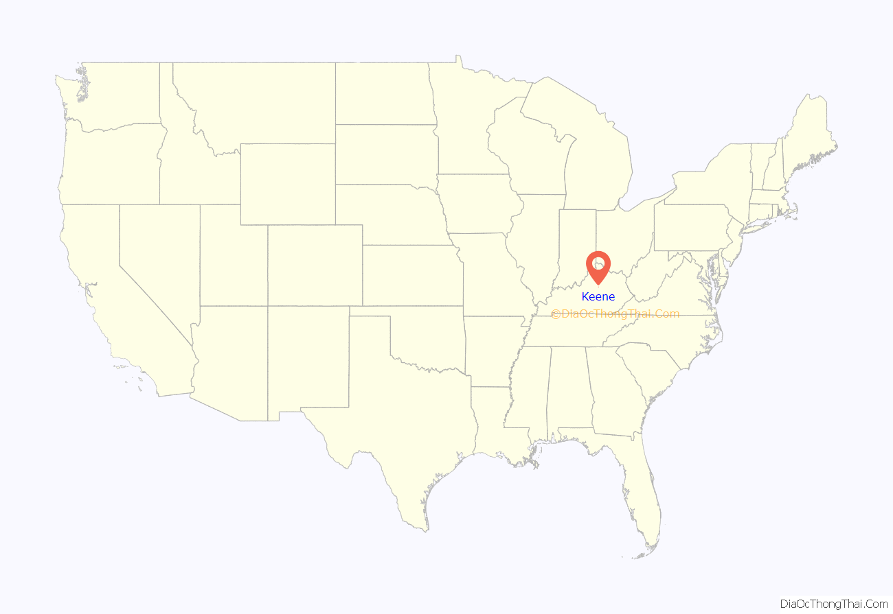
Keene location map. Where is Keene city?
History
The community grew up around a stone mill erected in 1794 and was originally laid out as North Liberty in 1813. In 1830, however, the first postmaster, Ephraim Carter, named his new post office after Keene, New Hampshire, the hometown he shared with local store owner Harvey Huggins. The city was formally incorporated by the state assembly in 1844.
It was also known as “Hard Scrabble”.
Keene was home to the Keene Industrial Institute, an industrial school for African Americans for a couple of years at the beginning of the 20th century.
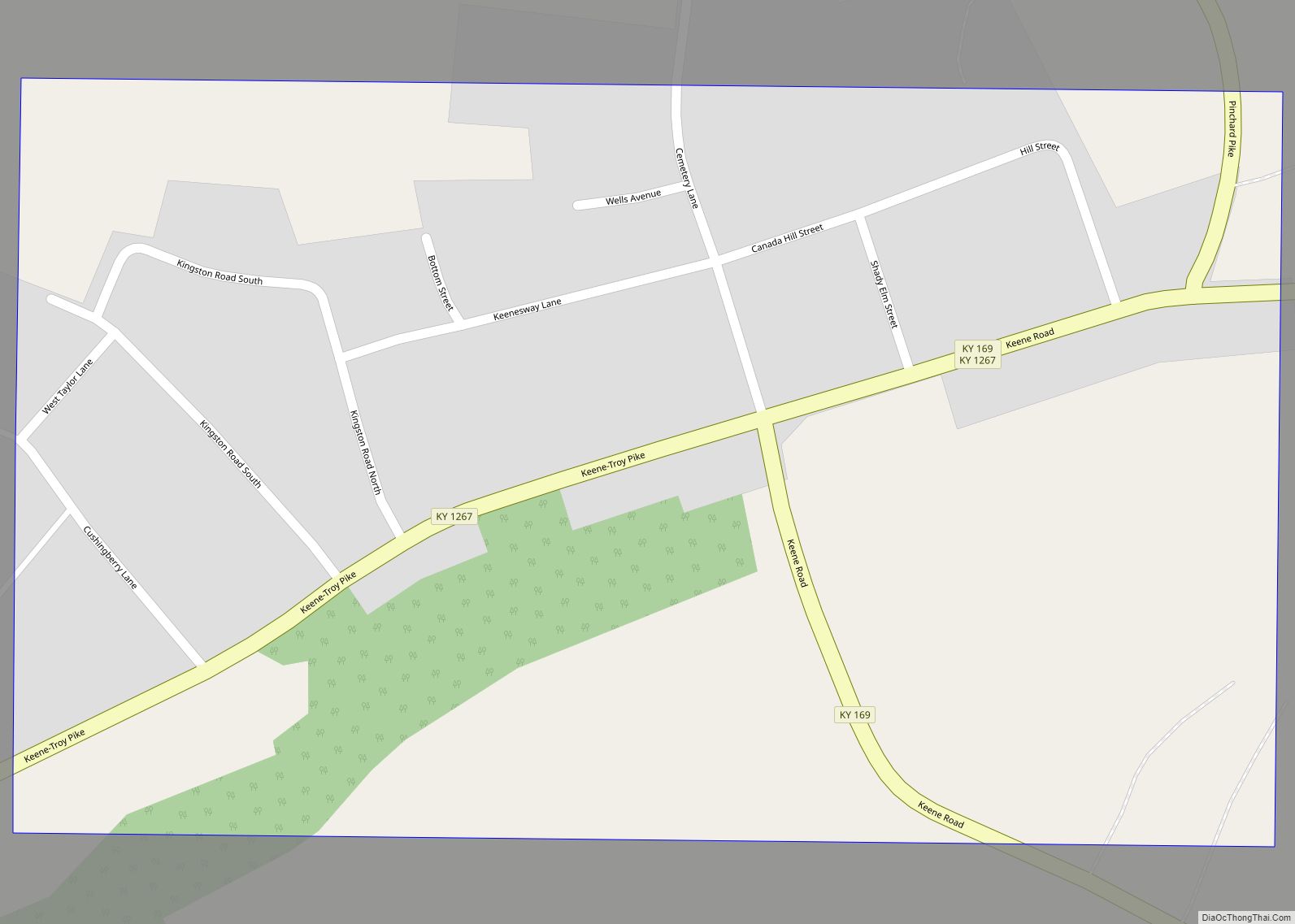
Keene Road Map
Keene city Satellite Map
Geography
Keene is in northwestern Jessamine County along Keene Troy Pike, 11 miles (18 km) southwest of Lexington and 6 miles (10 km) northwest of Nicholasville, the Jessamine County seat. It sits on the north side of the valley of a tributary of Cave Spring Creek, flowing west to Clear Creek, a tributary of the Kentucky River.
See also
Map of Kentucky State and its subdivision:- Adair
- Allen
- Anderson
- Ballard
- Barren
- Bath
- Bell
- Boone
- Bourbon
- Boyd
- Boyle
- Bracken
- Breathitt
- Breckinridge
- Bullitt
- Butler
- Caldwell
- Calloway
- Campbell
- Carlisle
- Carroll
- Carter
- Casey
- Christian
- Clark
- Clay
- Clinton
- Crittenden
- Cumberland
- Daviess
- Edmonson
- Elliott
- Estill
- Fayette
- Fleming
- Floyd
- Franklin
- Fulton
- Gallatin
- Garrard
- Grant
- Graves
- Grayson
- Green
- Greenup
- Hancock
- Hardin
- Harlan
- Harrison
- Hart
- Henderson
- Henry
- Hickman
- Hopkins
- Jackson
- Jefferson
- Jessamine
- Johnson
- Kenton
- Knott
- Knox
- Larue
- Laurel
- Lawrence
- Lee
- Leslie
- Letcher
- Lewis
- Lincoln
- Livingston
- Logan
- Lyon
- Madison
- Magoffin
- Marion
- Marshall
- Martin
- Mason
- McCracken
- McCreary
- McLean
- Meade
- Menifee
- Mercer
- Metcalfe
- Monroe
- Montgomery
- Morgan
- Muhlenberg
- Nelson
- Nicholas
- Ohio
- Oldham
- Owen
- Owsley
- Pendleton
- Perry
- Pike
- Powell
- Pulaski
- Robertson
- Rockcastle
- Rowan
- Russell
- Scott
- Shelby
- Simpson
- Spencer
- Taylor
- Todd
- Trigg
- Trimble
- Union
- Warren
- Washington
- Wayne
- Webster
- Whitley
- Wolfe
- Woodford
- Alabama
- Alaska
- Arizona
- Arkansas
- California
- Colorado
- Connecticut
- Delaware
- District of Columbia
- Florida
- Georgia
- Hawaii
- Idaho
- Illinois
- Indiana
- Iowa
- Kansas
- Kentucky
- Louisiana
- Maine
- Maryland
- Massachusetts
- Michigan
- Minnesota
- Mississippi
- Missouri
- Montana
- Nebraska
- Nevada
- New Hampshire
- New Jersey
- New Mexico
- New York
- North Carolina
- North Dakota
- Ohio
- Oklahoma
- Oregon
- Pennsylvania
- Rhode Island
- South Carolina
- South Dakota
- Tennessee
- Texas
- Utah
- Vermont
- Virginia
- Washington
- West Virginia
- Wisconsin
- Wyoming
