Kingsley is a home rule-class city in Jefferson County, Kentucky, United States. The population was 381 as of the 2010 census, down from 428 at the 2000 census. It is a suburb of Louisville.
| Name: | Kingsley city |
|---|---|
| LSAD Code: | 25 |
| LSAD Description: | city (suffix) |
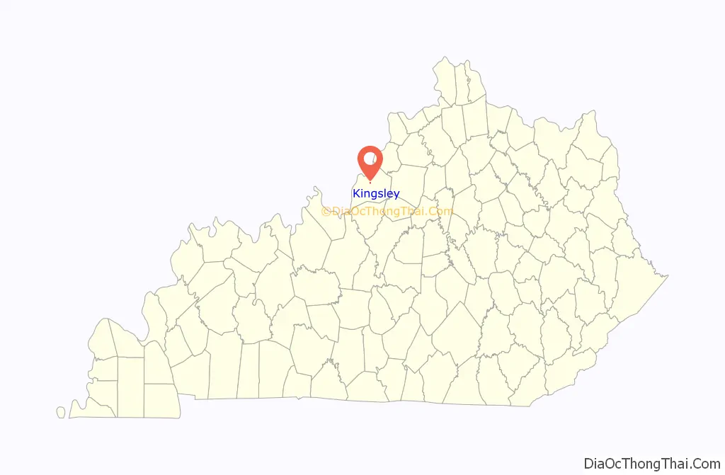
| State: | Kentucky |
| County: | Jefferson County |
| Incorporated: | 1939 |
| Elevation: | 535 ft (163 m) |
| Total Area: | 0.07 sq mi (0.19 km²) |
| Land Area: | 0.07 sq mi (0.19 km²) |
| Water Area: | 0.00 sq mi (0.00 km²) |
| Total Population: | 397 |
| Population Density: | 5,513.89/sq mi (2,121.10/km²) |
| ZIP code: | 40205 |
| FIPS code: | 2142598 |
| GNISfeature ID: | 0495767 |
| Website: | www.cityofkingsley.org |
Online Interactive Map
Click on ![]() to view map in "full screen" mode.
to view map in "full screen" mode.
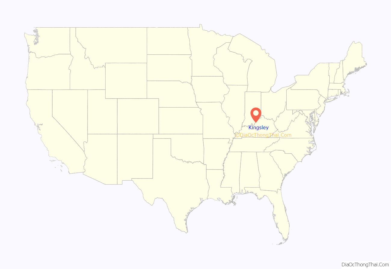
Kingsley location map. Where is Kingsley city?
History
Many years ago the community was part of Farmington, the once sprawling farm of the Speed family. On March 1, 1924, developer C.C. Hieatt purchased 46.063 acres (186,410 m) off Taylorsville Road and created the subdivision of Kingsley as an extension of the Strathmoor neighborhood. On December 21, 1939, Kingsley was incorporated as a 6th-class city.
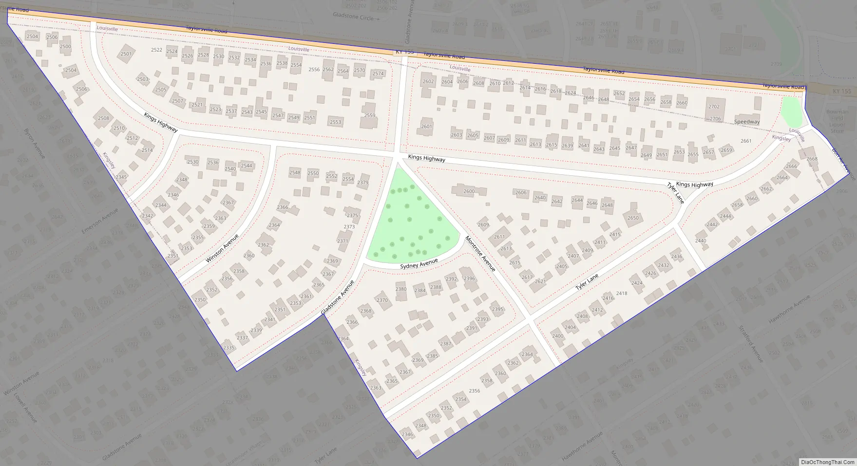
Kingsley Road Map
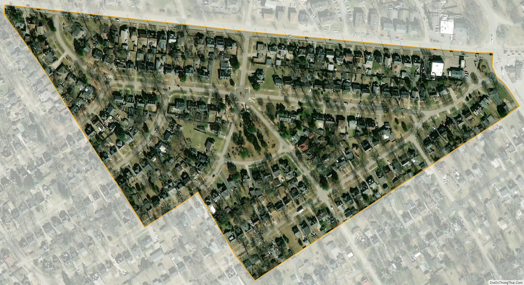
Kingsley city Satellite Map
Geography
Kingsley is located 6 miles (10 km) southeast of downtown Louisville at 38°13′18″N 85°40′21″W / 38.22167°N 85.67250°W / 38.22167; -85.67250 (38.221570, -85.672551), on roughly a triangle of land between Taylorsville Road, Tyler Lane, and Byron Avenue. It is bordered to the northwest by Seneca Gardens, to the west by Strathmoor Manor, and to the northeast by Bowman Field Regional Airport.
According to the United States Census Bureau, Kingsley has a total area of 0.07 square miles (0.19 km), all land.
See also
Map of Kentucky State and its subdivision:- Adair
- Allen
- Anderson
- Ballard
- Barren
- Bath
- Bell
- Boone
- Bourbon
- Boyd
- Boyle
- Bracken
- Breathitt
- Breckinridge
- Bullitt
- Butler
- Caldwell
- Calloway
- Campbell
- Carlisle
- Carroll
- Carter
- Casey
- Christian
- Clark
- Clay
- Clinton
- Crittenden
- Cumberland
- Daviess
- Edmonson
- Elliott
- Estill
- Fayette
- Fleming
- Floyd
- Franklin
- Fulton
- Gallatin
- Garrard
- Grant
- Graves
- Grayson
- Green
- Greenup
- Hancock
- Hardin
- Harlan
- Harrison
- Hart
- Henderson
- Henry
- Hickman
- Hopkins
- Jackson
- Jefferson
- Jessamine
- Johnson
- Kenton
- Knott
- Knox
- Larue
- Laurel
- Lawrence
- Lee
- Leslie
- Letcher
- Lewis
- Lincoln
- Livingston
- Logan
- Lyon
- Madison
- Magoffin
- Marion
- Marshall
- Martin
- Mason
- McCracken
- McCreary
- McLean
- Meade
- Menifee
- Mercer
- Metcalfe
- Monroe
- Montgomery
- Morgan
- Muhlenberg
- Nelson
- Nicholas
- Ohio
- Oldham
- Owen
- Owsley
- Pendleton
- Perry
- Pike
- Powell
- Pulaski
- Robertson
- Rockcastle
- Rowan
- Russell
- Scott
- Shelby
- Simpson
- Spencer
- Taylor
- Todd
- Trigg
- Trimble
- Union
- Warren
- Washington
- Wayne
- Webster
- Whitley
- Wolfe
- Woodford
- Alabama
- Alaska
- Arizona
- Arkansas
- California
- Colorado
- Connecticut
- Delaware
- District of Columbia
- Florida
- Georgia
- Hawaii
- Idaho
- Illinois
- Indiana
- Iowa
- Kansas
- Kentucky
- Louisiana
- Maine
- Maryland
- Massachusetts
- Michigan
- Minnesota
- Mississippi
- Missouri
- Montana
- Nebraska
- Nevada
- New Hampshire
- New Jersey
- New Mexico
- New York
- North Carolina
- North Dakota
- Ohio
- Oklahoma
- Oregon
- Pennsylvania
- Rhode Island
- South Carolina
- South Dakota
- Tennessee
- Texas
- Utah
- Vermont
- Virginia
- Washington
- West Virginia
- Wisconsin
- Wyoming


