Lakeside Park is a home rule-class city in Kenton County, Kentucky, United States. As of the 2020 census, the city had a total population of 2,841. It is a suburb in the Cincinnati metropolitan area.
| Name: | Lakeside Park city |
|---|---|
| LSAD Code: | 25 |
| LSAD Description: | city (suffix) |
| State: | Kentucky |
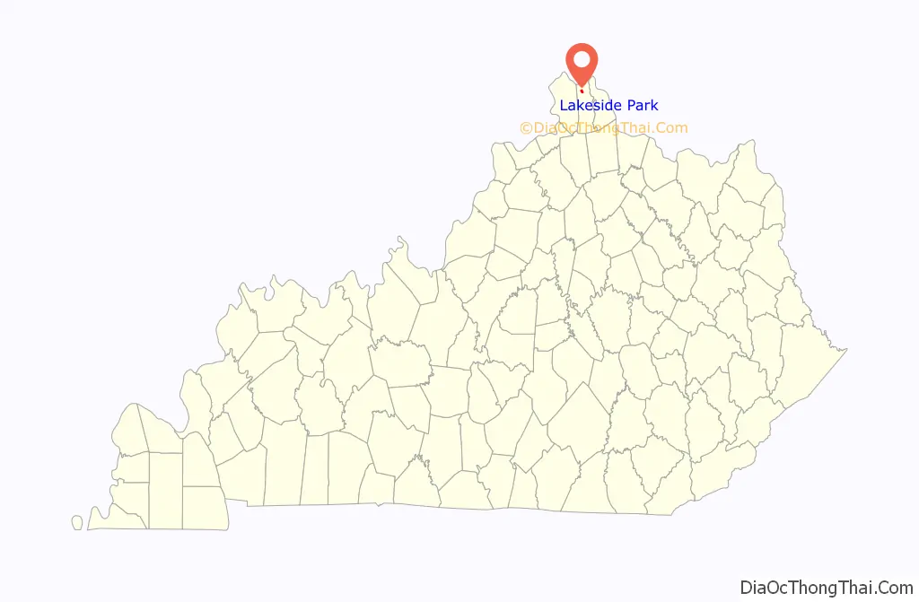
| County: | Kenton County |
| Incorporated: | 1930 |
| Elevation: | 850 ft (259 m) |
| Total Area: | 0.80 sq mi (2.07 km²) |
| Land Area: | 0.78 sq mi (2.03 km²) |
| Water Area: | 0.01 sq mi (0.04 km²) |
| Total Population: | 2,841 |
| Population Density: | 3,623.72/sq mi (1,399.48/km²) |
| ZIP code: | 41017 |
| Area code: | 859 |
| FIPS code: | 2143606 |
| GNISfeature ID: | 0495923 |
| Website: | www.cityoflakesidepark.com |
Online Interactive Map
Click on ![]() to view map in "full screen" mode.
to view map in "full screen" mode.
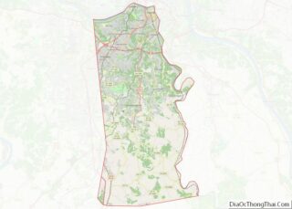
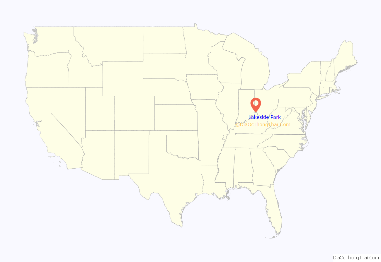
Lakeside Park location map. Where is Lakeside Park city?
History
The area that is now Lakeside Park was part of a farm granted to John Leathers. During the Civil War, the Covington and Lexington Turnpike which passes through town was guarded by forts. Lakeside Park was incorporated in 1930. The first subdivisions were championed by Kenton County commissioner Paul Hesser, who also pushed for incorporation. It was strategically placed next to the Covington and Lexington Turnpike to prevent annexation by Fort Mitchell.
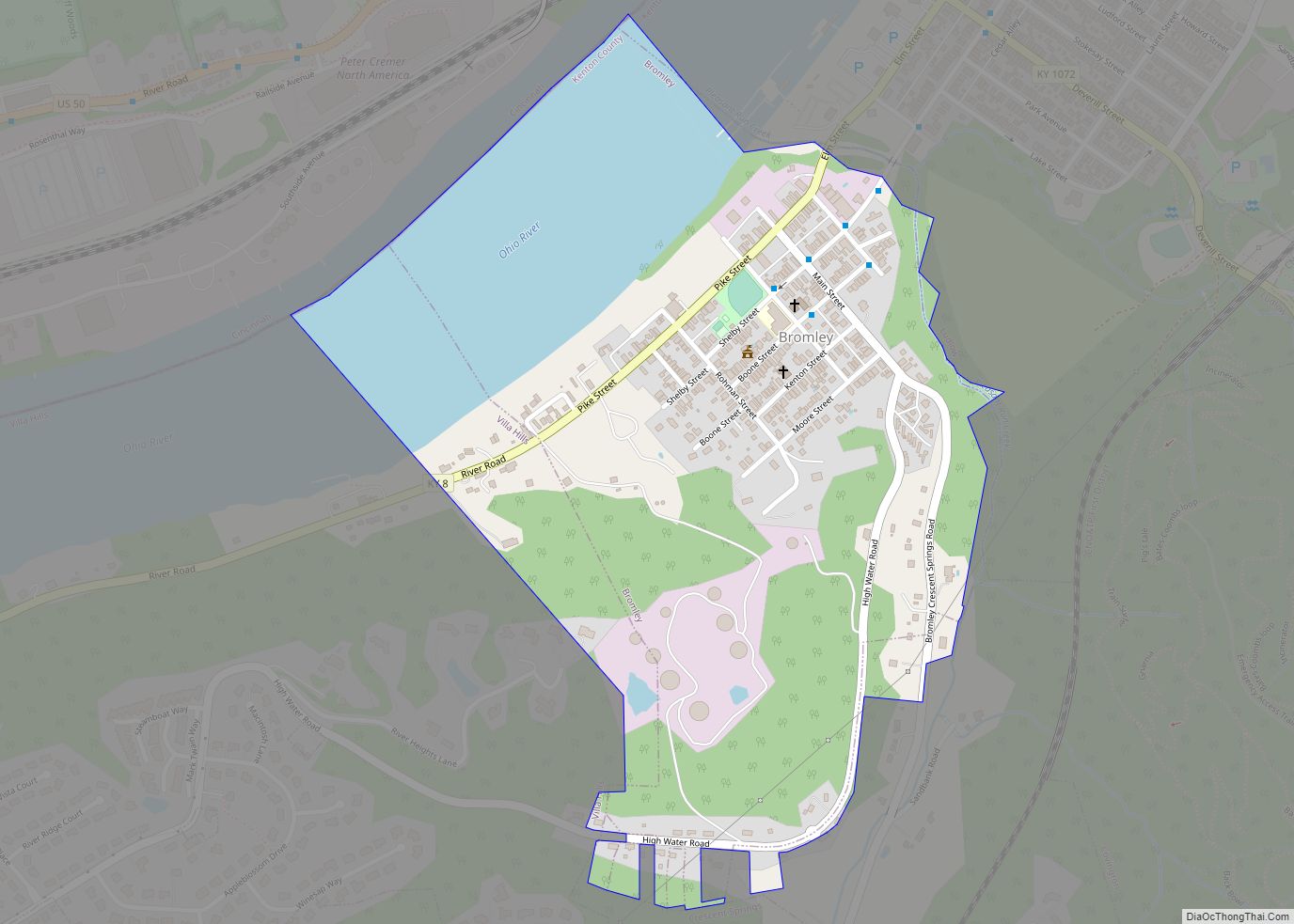
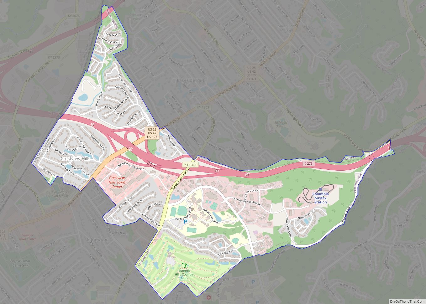
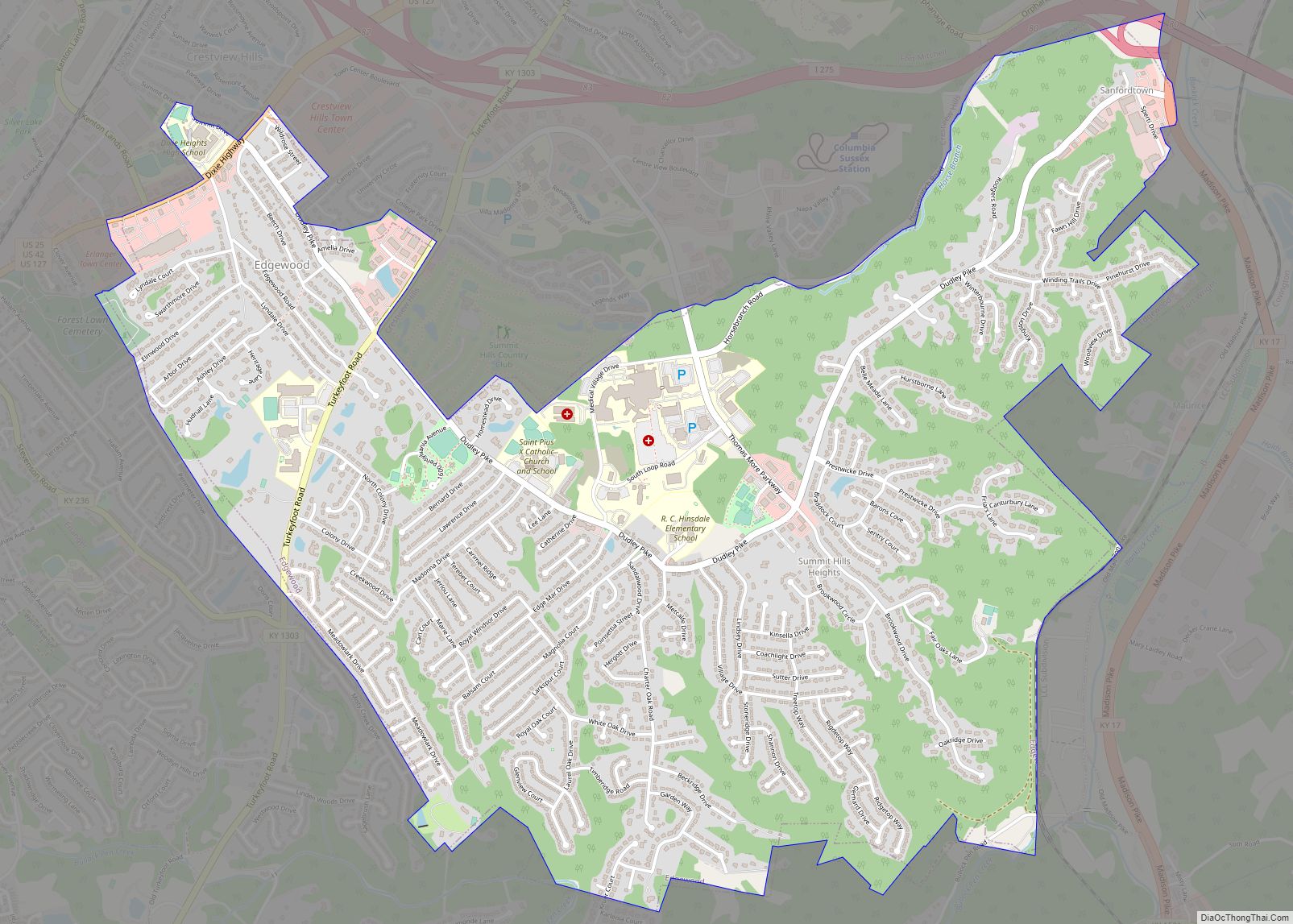
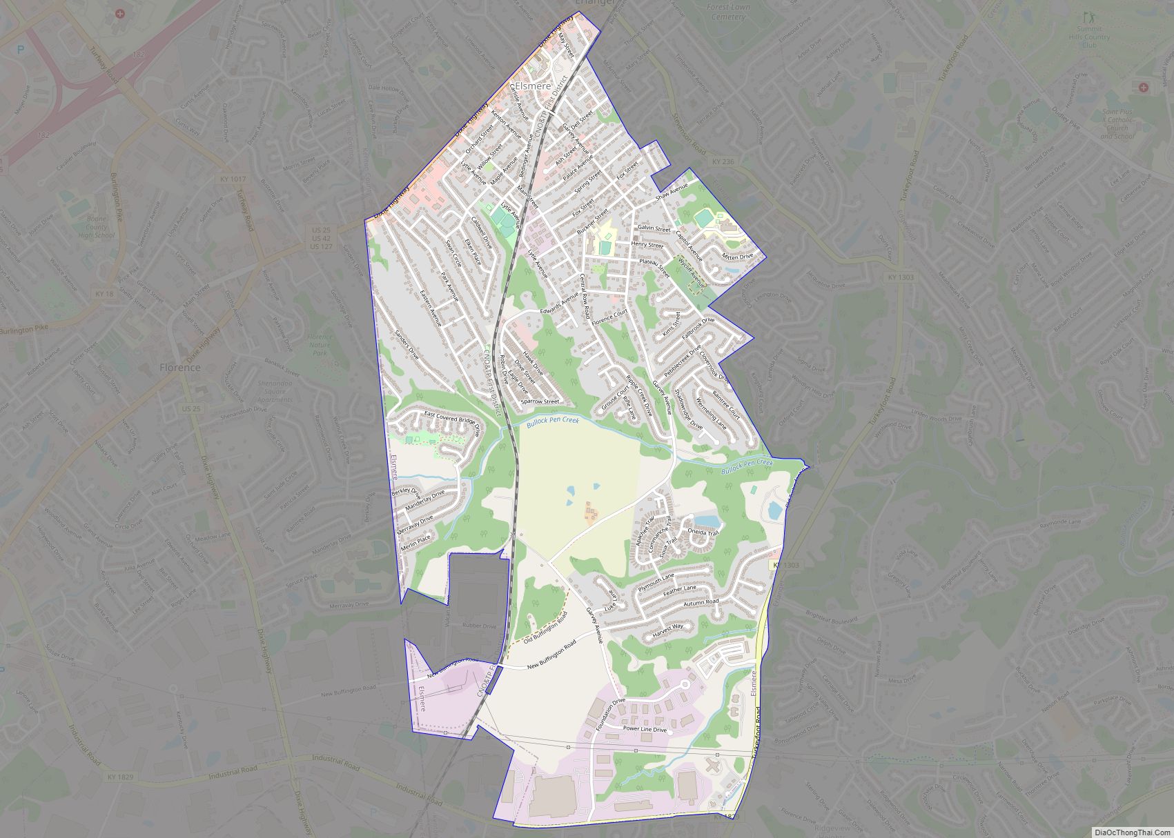
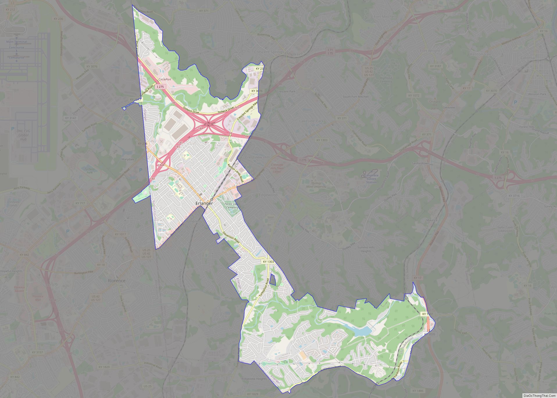
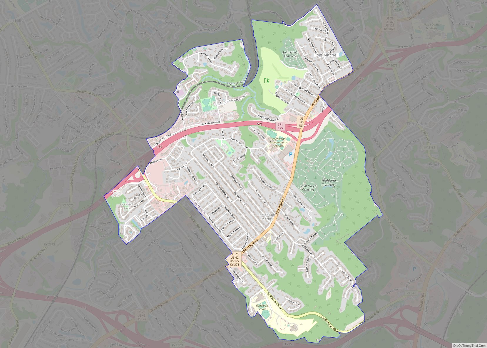
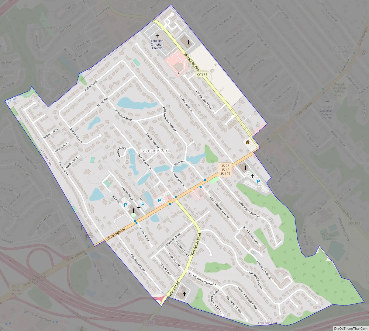
Lakeside Park Road Map
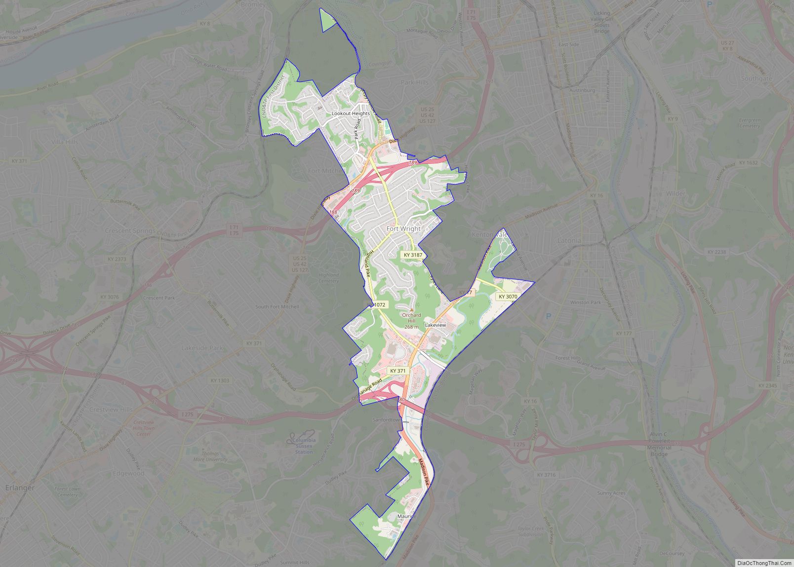
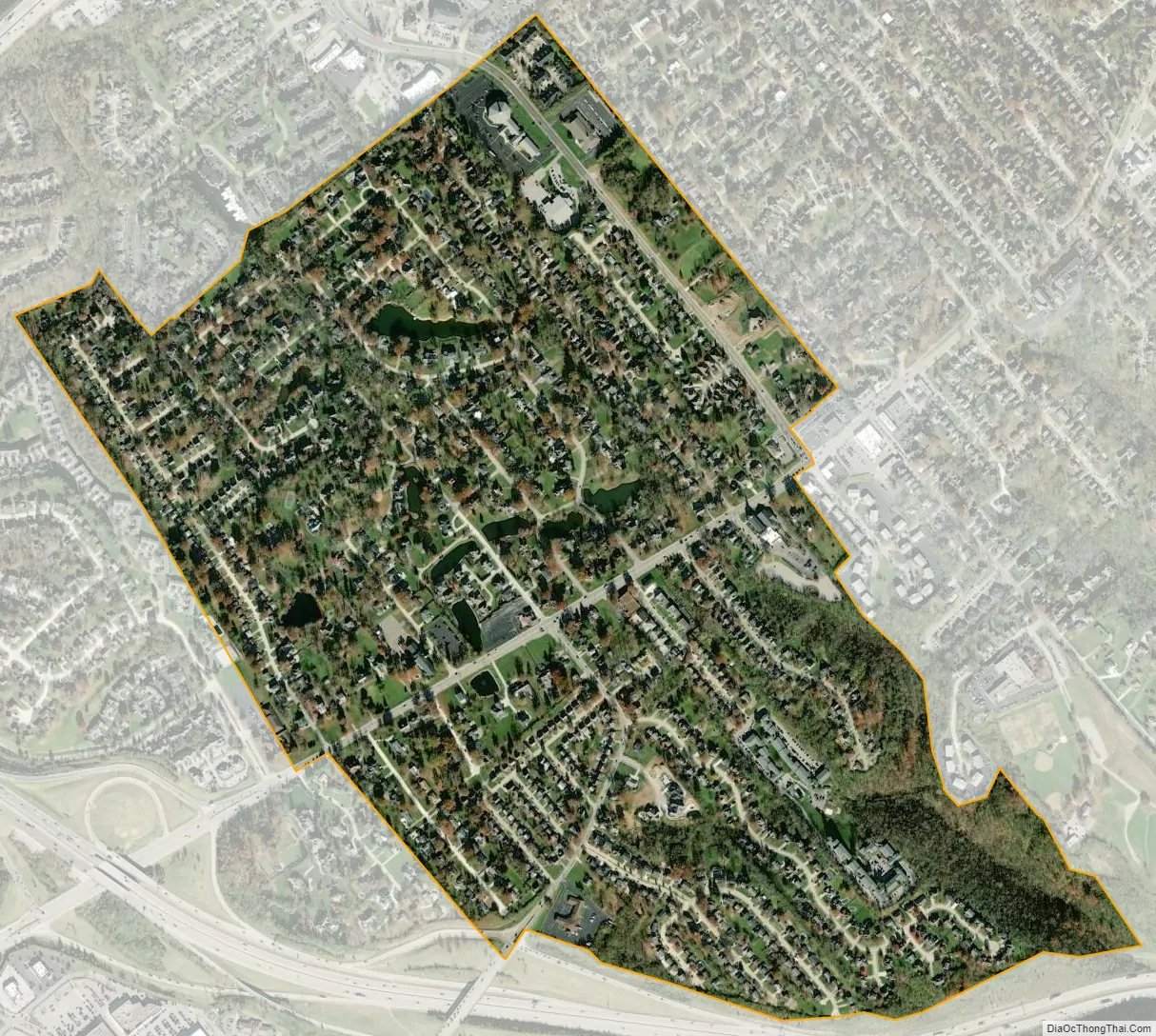
Lakeside Park city Satellite Map
Geography
Lakeside Park is located at 39°1′59″N 84°34′5″W / 39.03306°N 84.56806°W / 39.03306; -84.56806 (39.033113, -84.568160). According to the United States Census Bureau, the city has a total area of 0.8 square miles (2.1 km), of which 0.8 square miles (2.1 km) is land and 1.28% is water. The city is bisected by the Dixie Highway, U.S. Route 25, and Interstate 275 bypasses Lakeside Park to the south.
See also
Map of Kentucky State and its subdivision:- Adair
- Allen
- Anderson
- Ballard
- Barren
- Bath
- Bell
- Boone
- Bourbon
- Boyd
- Boyle
- Bracken
- Breathitt
- Breckinridge
- Bullitt
- Butler
- Caldwell
- Calloway
- Campbell
- Carlisle
- Carroll
- Carter
- Casey
- Christian
- Clark
- Clay
- Clinton
- Crittenden
- Cumberland
- Daviess
- Edmonson
- Elliott
- Estill
- Fayette
- Fleming
- Floyd
- Franklin
- Fulton
- Gallatin
- Garrard
- Grant
- Graves
- Grayson
- Green
- Greenup
- Hancock
- Hardin
- Harlan
- Harrison
- Hart
- Henderson
- Henry
- Hickman
- Hopkins
- Jackson
- Jefferson
- Jessamine
- Johnson
- Kenton
- Knott
- Knox
- Larue
- Laurel
- Lawrence
- Lee
- Leslie
- Letcher
- Lewis
- Lincoln
- Livingston
- Logan
- Lyon
- Madison
- Magoffin
- Marion
- Marshall
- Martin
- Mason
- McCracken
- McCreary
- McLean
- Meade
- Menifee
- Mercer
- Metcalfe
- Monroe
- Montgomery
- Morgan
- Muhlenberg
- Nelson
- Nicholas
- Ohio
- Oldham
- Owen
- Owsley
- Pendleton
- Perry
- Pike
- Powell
- Pulaski
- Robertson
- Rockcastle
- Rowan
- Russell
- Scott
- Shelby
- Simpson
- Spencer
- Taylor
- Todd
- Trigg
- Trimble
- Union
- Warren
- Washington
- Wayne
- Webster
- Whitley
- Wolfe
- Woodford
- Alabama
- Alaska
- Arizona
- Arkansas
- California
- Colorado
- Connecticut
- Delaware
- District of Columbia
- Florida
- Georgia
- Hawaii
- Idaho
- Illinois
- Indiana
- Iowa
- Kansas
- Kentucky
- Louisiana
- Maine
- Maryland
- Massachusetts
- Michigan
- Minnesota
- Mississippi
- Missouri
- Montana
- Nebraska
- Nevada
- New Hampshire
- New Jersey
- New Mexico
- New York
- North Carolina
- North Dakota
- Ohio
- Oklahoma
- Oregon
- Pennsylvania
- Rhode Island
- South Carolina
- South Dakota
- Tennessee
- Texas
- Utah
- Vermont
- Virginia
- Washington
- West Virginia
- Wisconsin
- Wyoming