Livingston is a home rule-class city in Rockcastle County, Kentucky, in the United States. The population was 226 during the 2010 U.S. census. It is part of the Richmond-Berea micropolitan area.
| Name: | Livingston city |
|---|---|
| LSAD Code: | 25 |
| LSAD Description: | city (suffix) |
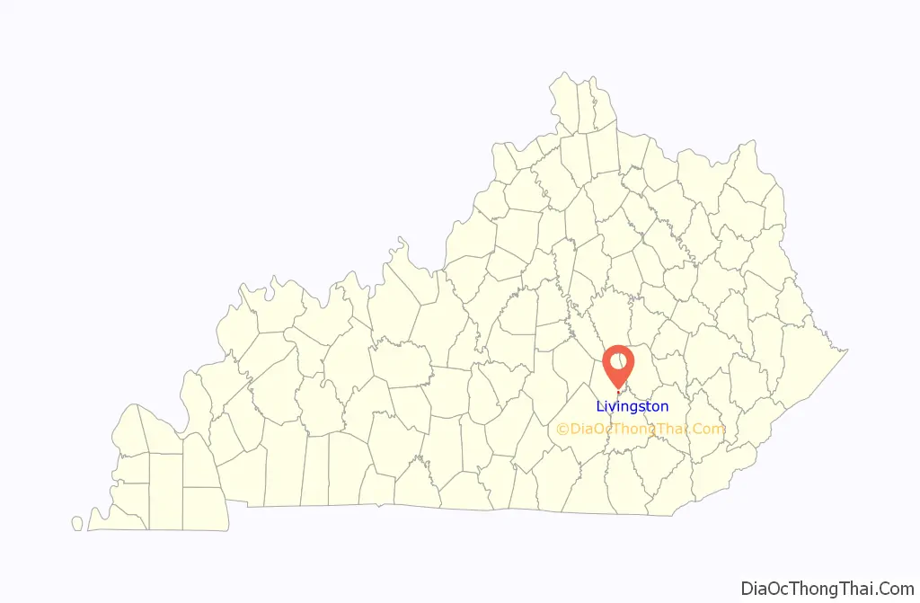
| State: | Kentucky |
| County: | Rockcastle County |
| Incorporated: | 1880 |
| Elevation: | 912 ft (278 m) |
| Total Area: | 0.32 sq mi (0.84 km²) |
| Land Area: | 0.31 sq mi (0.81 km²) |
| Water Area: | 0.01 sq mi (0.03 km²) |
| Total Population: | 166 |
| Population Density: | 530.35/sq mi (204.92/km²) |
| ZIP code: | 40445 |
| Area code: | 606 |
| FIPS code: | 2147098 |
| GNISfeature ID: | 513549 |
| Website: | www.livingstonky.com |
Online Interactive Map
Click on ![]() to view map in "full screen" mode.
to view map in "full screen" mode.
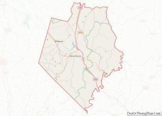
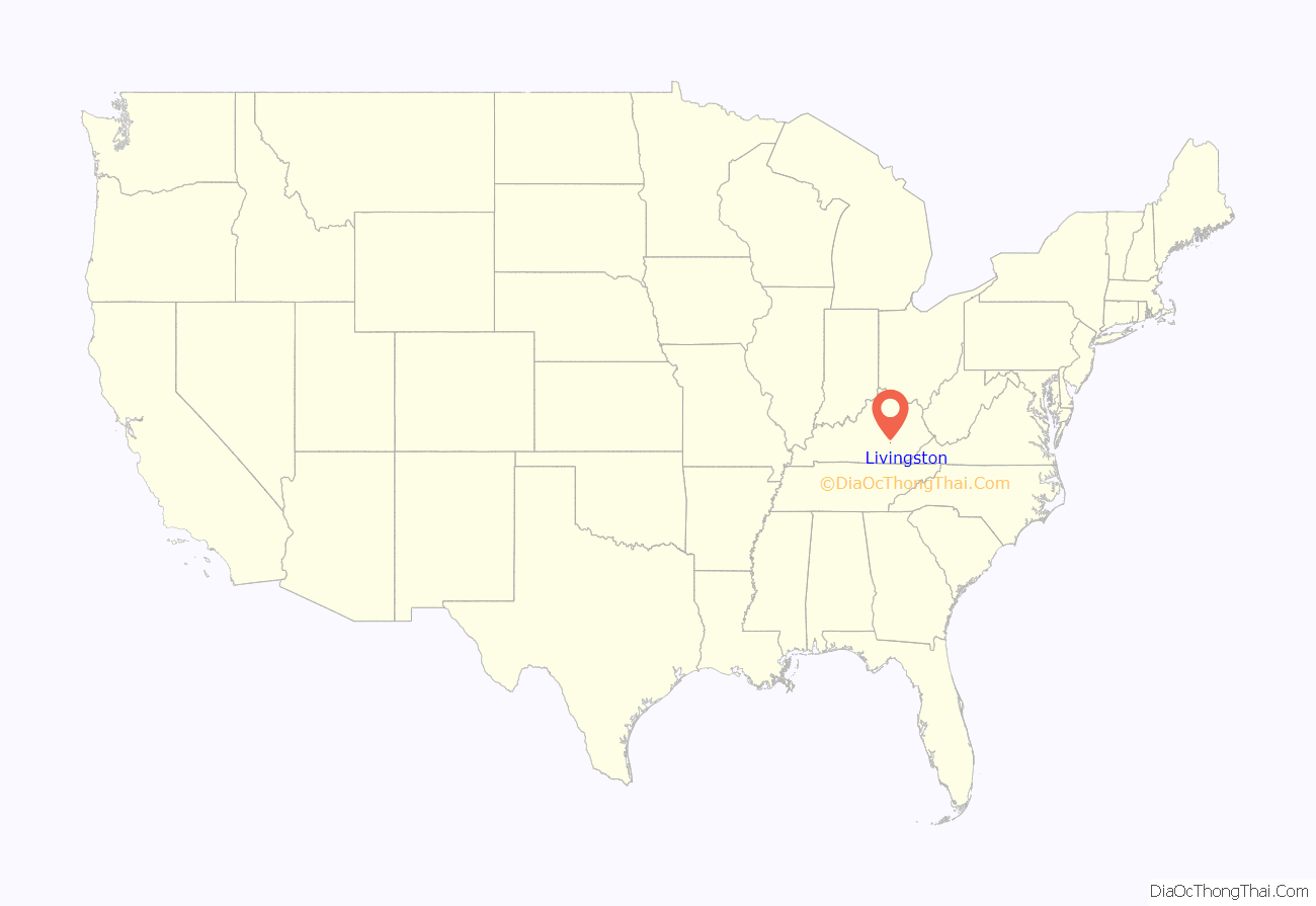
Livingston location map. Where is Livingston city?
History
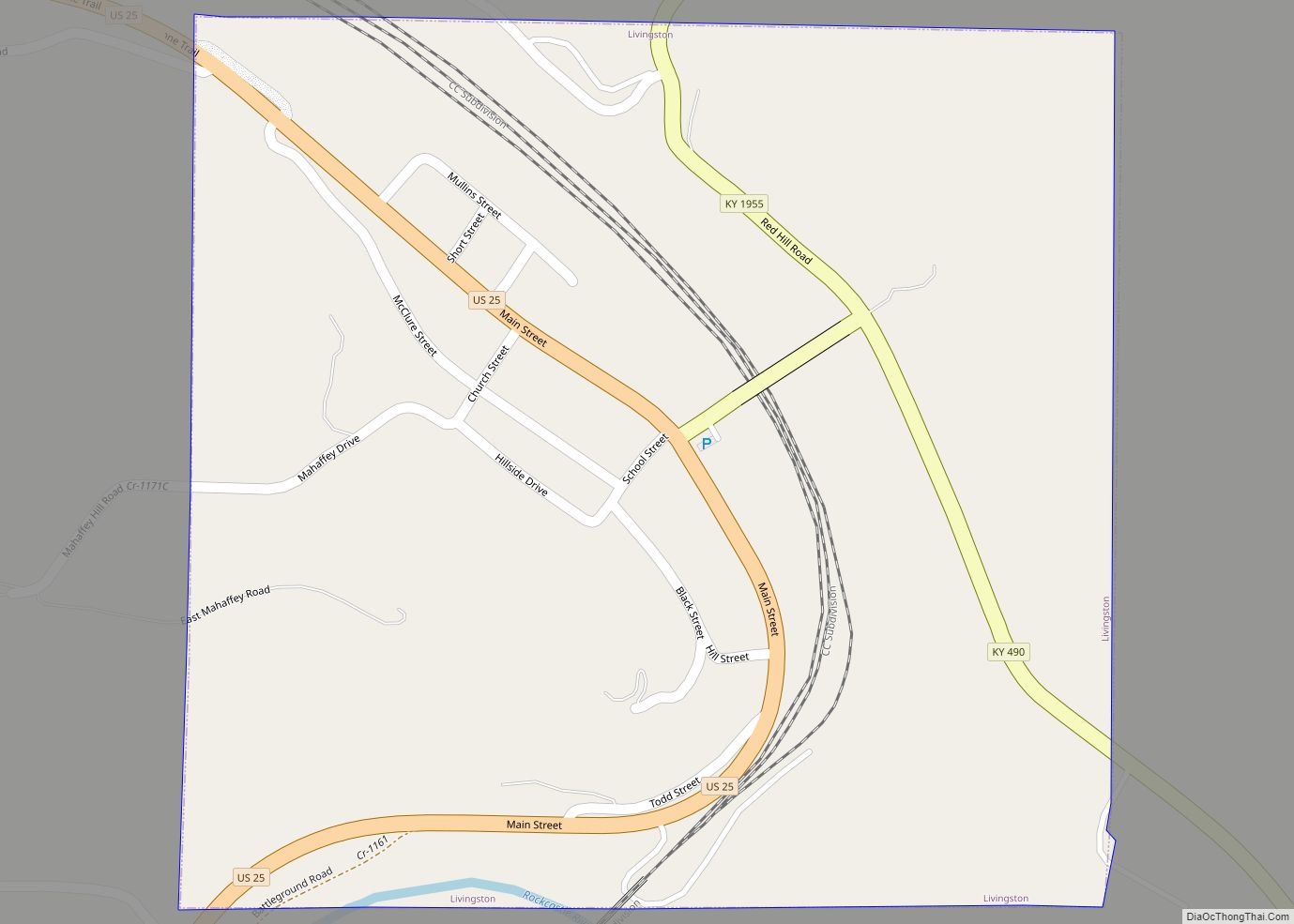
The first post office at the site was known as Fish Point and opened in 1840. The L&N reached the settlement in 1870 and named its station after James Livingston, a local landowner. The post office was renamed Livingston Station in 1879 and, following the city’s 1880 incorporation, Livingston in 1882.
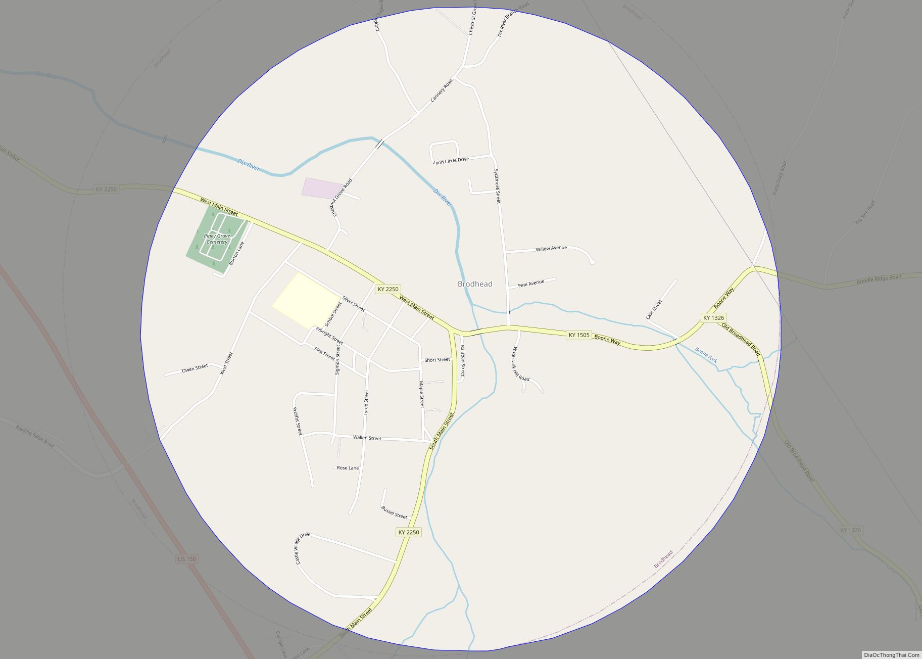
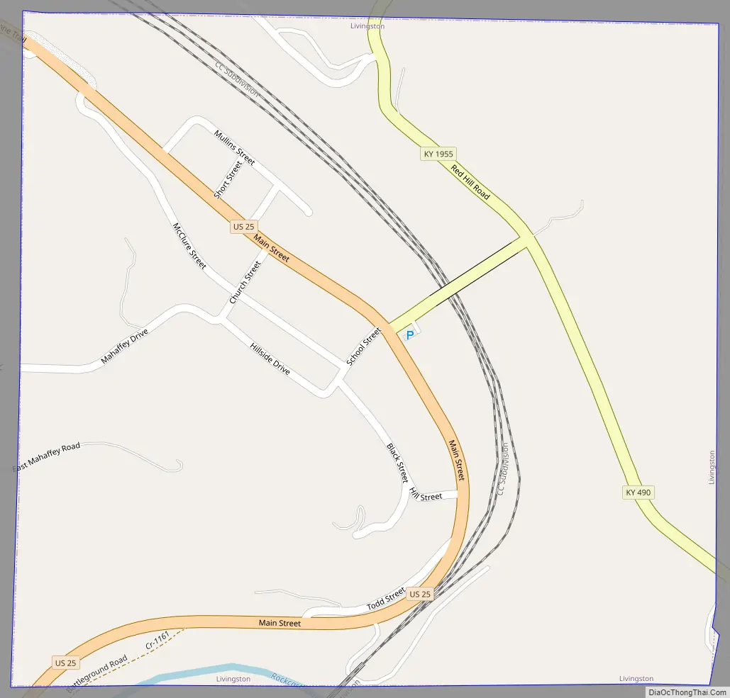
Livingston Road Map
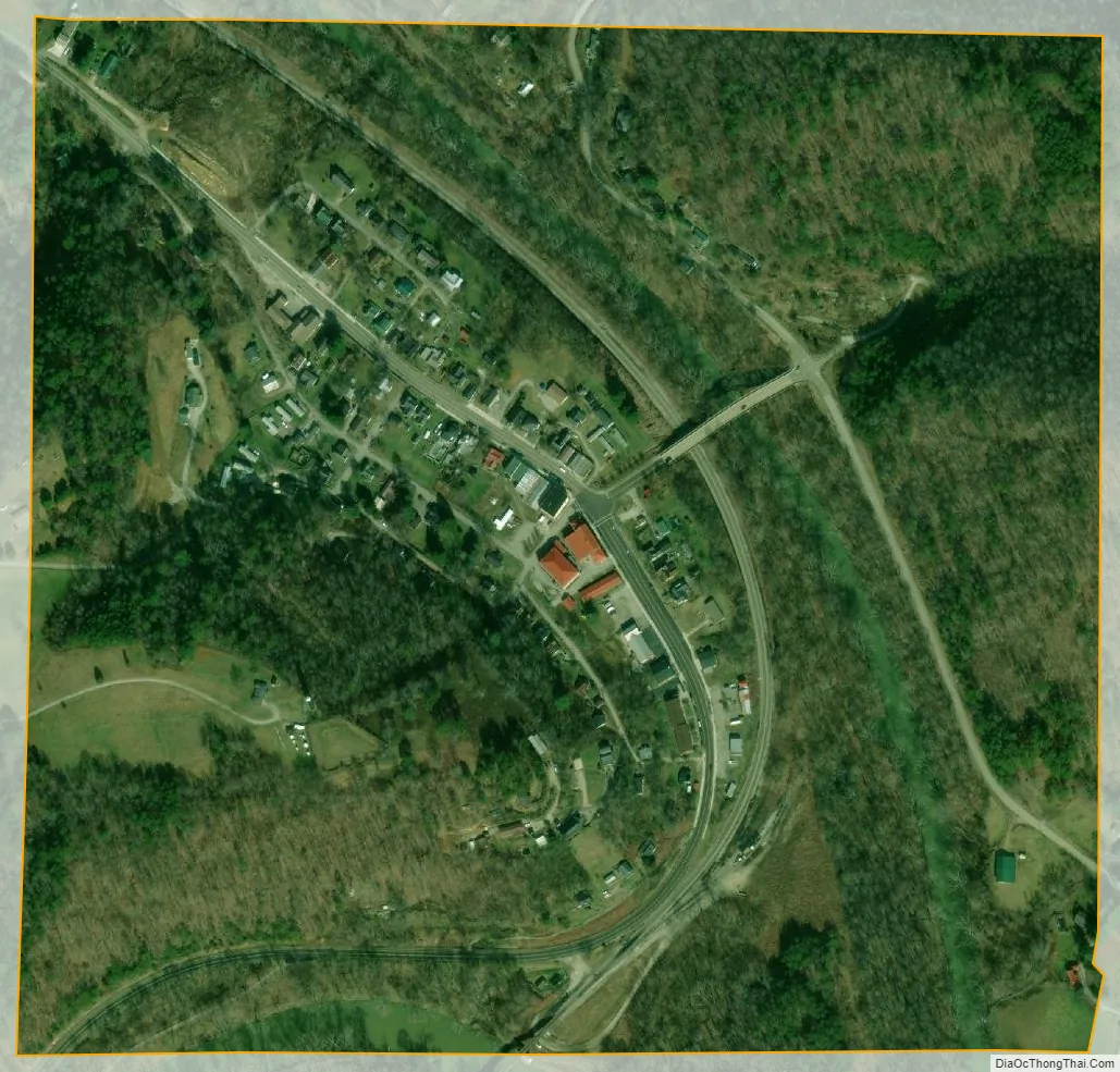
Livingston city Satellite Map
Geography
Livingston is located at 37°17′55″N 84°13′0″W / 37.29861°N 84.21667°W / 37.29861; -84.21667 (37.298551, -84.216661). According to the United States Census Bureau, the city has a total area of 0.3 square miles (0.78 km), all land. The city lies along U.S. Route 25 southeast of Mt. Vernon and northwest of London. The city’s municipal area extends southward to the Rockcastle River. The Daniel Boone National Forest surrounds Livingston, and the Sheltowee Trace Trail passes through the city.
See also
Map of Kentucky State and its subdivision:- Adair
- Allen
- Anderson
- Ballard
- Barren
- Bath
- Bell
- Boone
- Bourbon
- Boyd
- Boyle
- Bracken
- Breathitt
- Breckinridge
- Bullitt
- Butler
- Caldwell
- Calloway
- Campbell
- Carlisle
- Carroll
- Carter
- Casey
- Christian
- Clark
- Clay
- Clinton
- Crittenden
- Cumberland
- Daviess
- Edmonson
- Elliott
- Estill
- Fayette
- Fleming
- Floyd
- Franklin
- Fulton
- Gallatin
- Garrard
- Grant
- Graves
- Grayson
- Green
- Greenup
- Hancock
- Hardin
- Harlan
- Harrison
- Hart
- Henderson
- Henry
- Hickman
- Hopkins
- Jackson
- Jefferson
- Jessamine
- Johnson
- Kenton
- Knott
- Knox
- Larue
- Laurel
- Lawrence
- Lee
- Leslie
- Letcher
- Lewis
- Lincoln
- Livingston
- Logan
- Lyon
- Madison
- Magoffin
- Marion
- Marshall
- Martin
- Mason
- McCracken
- McCreary
- McLean
- Meade
- Menifee
- Mercer
- Metcalfe
- Monroe
- Montgomery
- Morgan
- Muhlenberg
- Nelson
- Nicholas
- Ohio
- Oldham
- Owen
- Owsley
- Pendleton
- Perry
- Pike
- Powell
- Pulaski
- Robertson
- Rockcastle
- Rowan
- Russell
- Scott
- Shelby
- Simpson
- Spencer
- Taylor
- Todd
- Trigg
- Trimble
- Union
- Warren
- Washington
- Wayne
- Webster
- Whitley
- Wolfe
- Woodford
- Alabama
- Alaska
- Arizona
- Arkansas
- California
- Colorado
- Connecticut
- Delaware
- District of Columbia
- Florida
- Georgia
- Hawaii
- Idaho
- Illinois
- Indiana
- Iowa
- Kansas
- Kentucky
- Louisiana
- Maine
- Maryland
- Massachusetts
- Michigan
- Minnesota
- Mississippi
- Missouri
- Montana
- Nebraska
- Nevada
- New Hampshire
- New Jersey
- New Mexico
- New York
- North Carolina
- North Dakota
- Ohio
- Oklahoma
- Oregon
- Pennsylvania
- Rhode Island
- South Carolina
- South Dakota
- Tennessee
- Texas
- Utah
- Vermont
- Virginia
- Washington
- West Virginia
- Wisconsin
- Wyoming