Ludlow is a home rule-class city in Kenton County, Kentucky, United States, along the Ohio River. The population was 4,385 at the 2020 census. It is a suburb of the Cincinnati metropolitan area. It received its greatest period of early growth as a rail station.
| Name: | Ludlow city |
|---|---|
| LSAD Code: | 25 |
| LSAD Description: | city (suffix) |
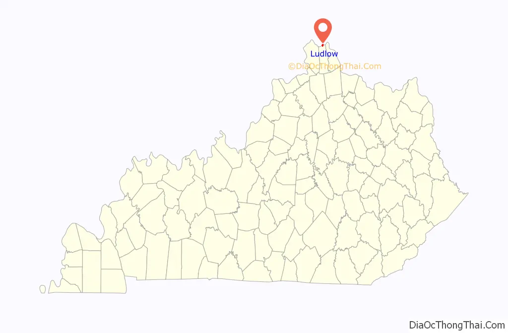
| State: | Kentucky |
| County: | Kenton County |
| Incorporated: | 1864 |
| Elevation: | 538 ft (164 m) |
| Total Area: | 1.28 sq mi (3.31 km²) |
| Land Area: | 0.92 sq mi (2.37 km²) |
| Water Area: | 0.36 sq mi (0.93 km²) |
| Total Population: | 4,385 |
| Population Density: | 4,787.12/sq mi (1,849.06/km²) |
| ZIP code: | 41016 |
| Area code: | 859 |
| FIPS code: | 2148378 |
| GNISfeature ID: | 0497339 |
| Website: | www.ludlow.org |
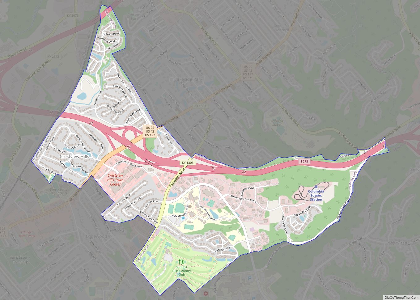
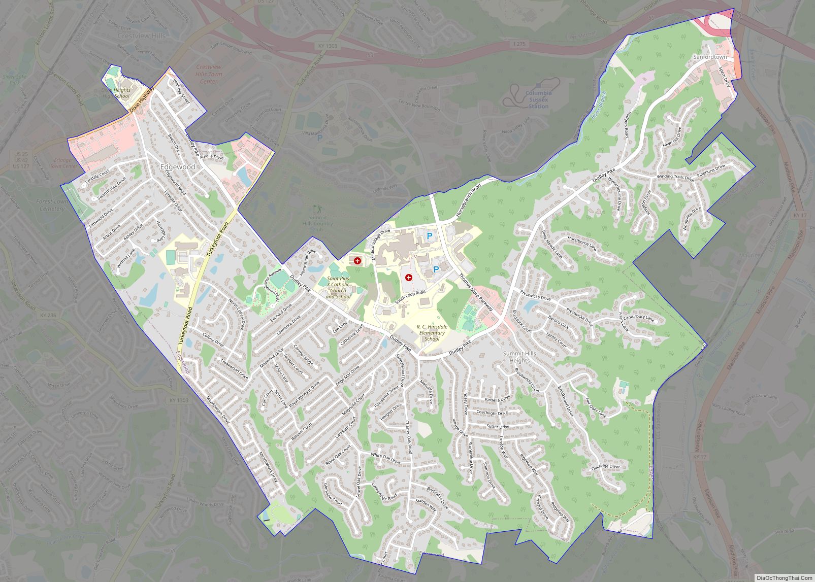
Online Interactive Map
Click on ![]() to view map in "full screen" mode.
to view map in "full screen" mode.
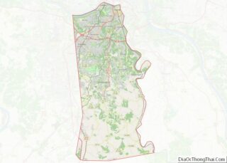
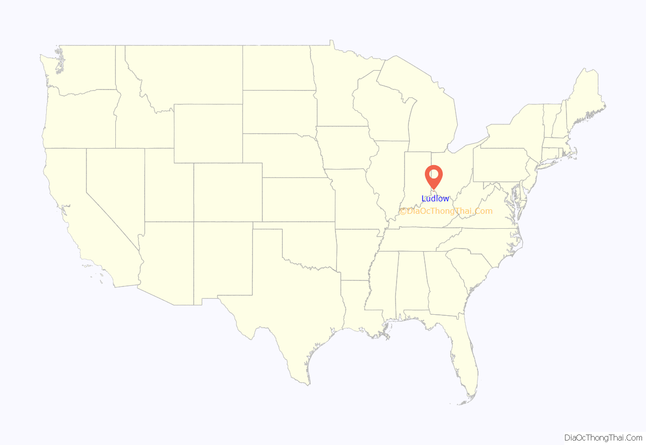
Ludlow location map. Where is Ludlow city?
History
In 1790, the land that is now Ludlow was given to Gen. Thomas Sandford as a grant in recognition of his service during the Revolutionary War. Sandford traded the land to Thomas D. Carneal for land in what is now Ft. Mitchell. Carneal had Elmwood Hall built on the riverfront in 1818. It still stands (as of 2011) at 244 Forest Avenue and is a private residence. Carneal later sold the land to William Bullock, a British showman, entrepreneur, and traveller, who directed John Papworth to design a utopian community for the site named Hygeia (Greek for “health”). Never realizing this plan, Bullock sold the land to Israel L. Ludlow in 1830. Ludlow was platted as a town in 1846.
The city of Ludlow, named for the landowner, was incorporated in 1864.
Ludlow was used as a filming site for the movie Lost In Yonkers, starring Richard Dreyfuss.
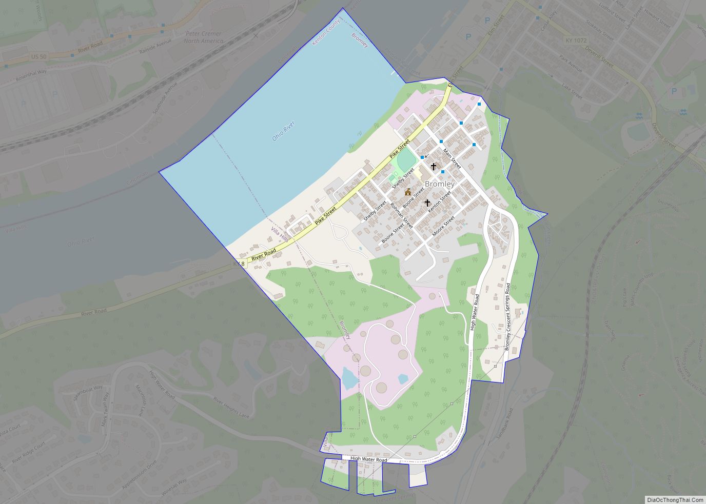
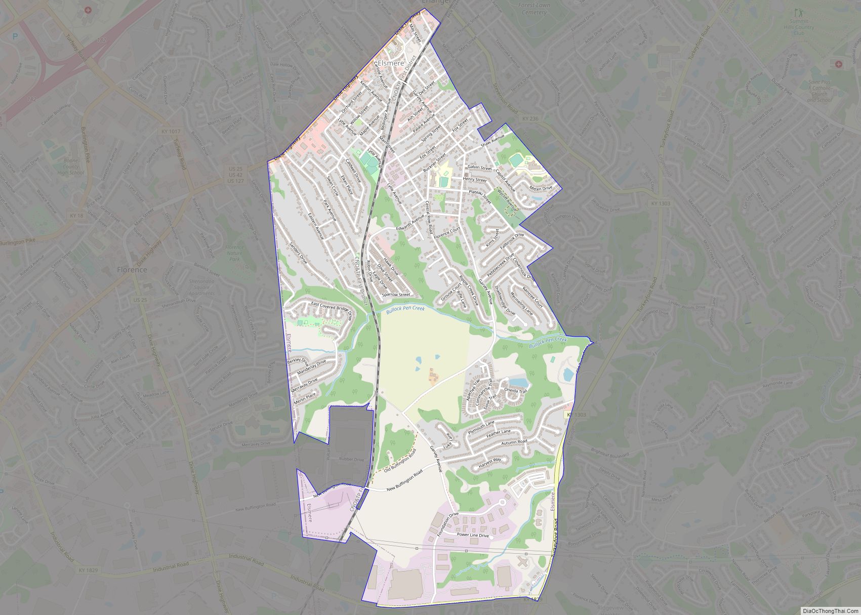
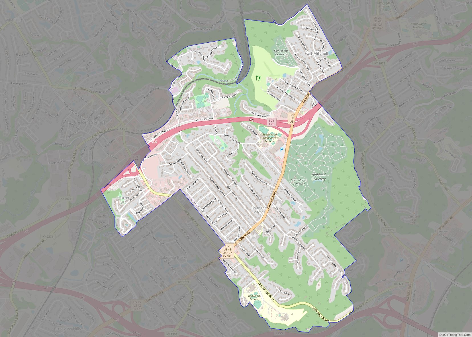
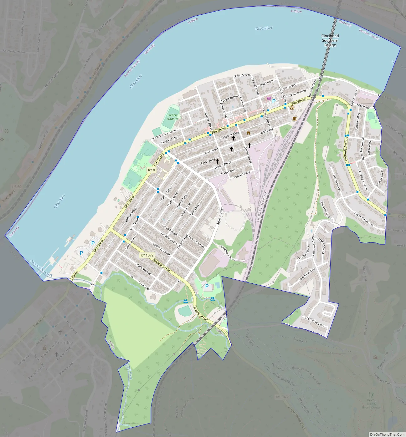
Ludlow Road Map
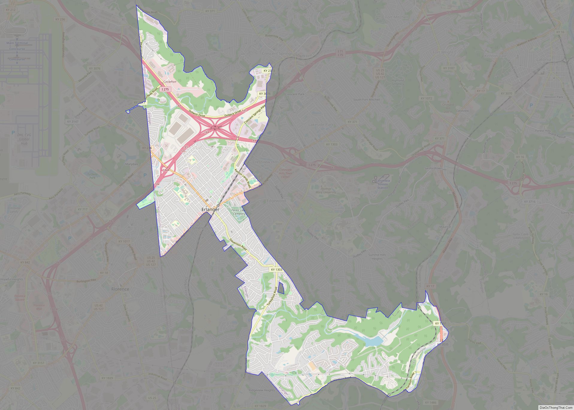
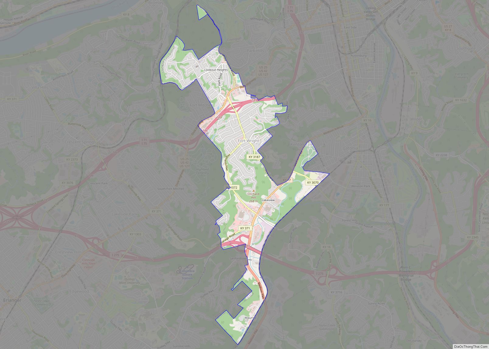
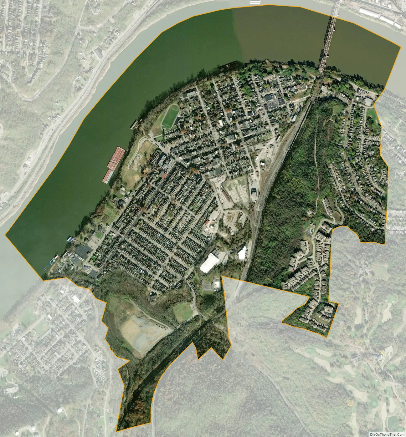
Ludlow city Satellite Map
Geography
According to the United States Census Bureau, the city has a total area of 1.2 square miles (3.1 km), of which 0.9 square miles (2.3 km) is land and 0.4 square miles (1.0 km) (30.65%) is water.
See also
Map of Kentucky State and its subdivision:- Adair
- Allen
- Anderson
- Ballard
- Barren
- Bath
- Bell
- Boone
- Bourbon
- Boyd
- Boyle
- Bracken
- Breathitt
- Breckinridge
- Bullitt
- Butler
- Caldwell
- Calloway
- Campbell
- Carlisle
- Carroll
- Carter
- Casey
- Christian
- Clark
- Clay
- Clinton
- Crittenden
- Cumberland
- Daviess
- Edmonson
- Elliott
- Estill
- Fayette
- Fleming
- Floyd
- Franklin
- Fulton
- Gallatin
- Garrard
- Grant
- Graves
- Grayson
- Green
- Greenup
- Hancock
- Hardin
- Harlan
- Harrison
- Hart
- Henderson
- Henry
- Hickman
- Hopkins
- Jackson
- Jefferson
- Jessamine
- Johnson
- Kenton
- Knott
- Knox
- Larue
- Laurel
- Lawrence
- Lee
- Leslie
- Letcher
- Lewis
- Lincoln
- Livingston
- Logan
- Lyon
- Madison
- Magoffin
- Marion
- Marshall
- Martin
- Mason
- McCracken
- McCreary
- McLean
- Meade
- Menifee
- Mercer
- Metcalfe
- Monroe
- Montgomery
- Morgan
- Muhlenberg
- Nelson
- Nicholas
- Ohio
- Oldham
- Owen
- Owsley
- Pendleton
- Perry
- Pike
- Powell
- Pulaski
- Robertson
- Rockcastle
- Rowan
- Russell
- Scott
- Shelby
- Simpson
- Spencer
- Taylor
- Todd
- Trigg
- Trimble
- Union
- Warren
- Washington
- Wayne
- Webster
- Whitley
- Wolfe
- Woodford
- Alabama
- Alaska
- Arizona
- Arkansas
- California
- Colorado
- Connecticut
- Delaware
- District of Columbia
- Florida
- Georgia
- Hawaii
- Idaho
- Illinois
- Indiana
- Iowa
- Kansas
- Kentucky
- Louisiana
- Maine
- Maryland
- Massachusetts
- Michigan
- Minnesota
- Mississippi
- Missouri
- Montana
- Nebraska
- Nevada
- New Hampshire
- New Jersey
- New Mexico
- New York
- North Carolina
- North Dakota
- Ohio
- Oklahoma
- Oregon
- Pennsylvania
- Rhode Island
- South Carolina
- South Dakota
- Tennessee
- Texas
- Utah
- Vermont
- Virginia
- Washington
- West Virginia
- Wisconsin
- Wyoming