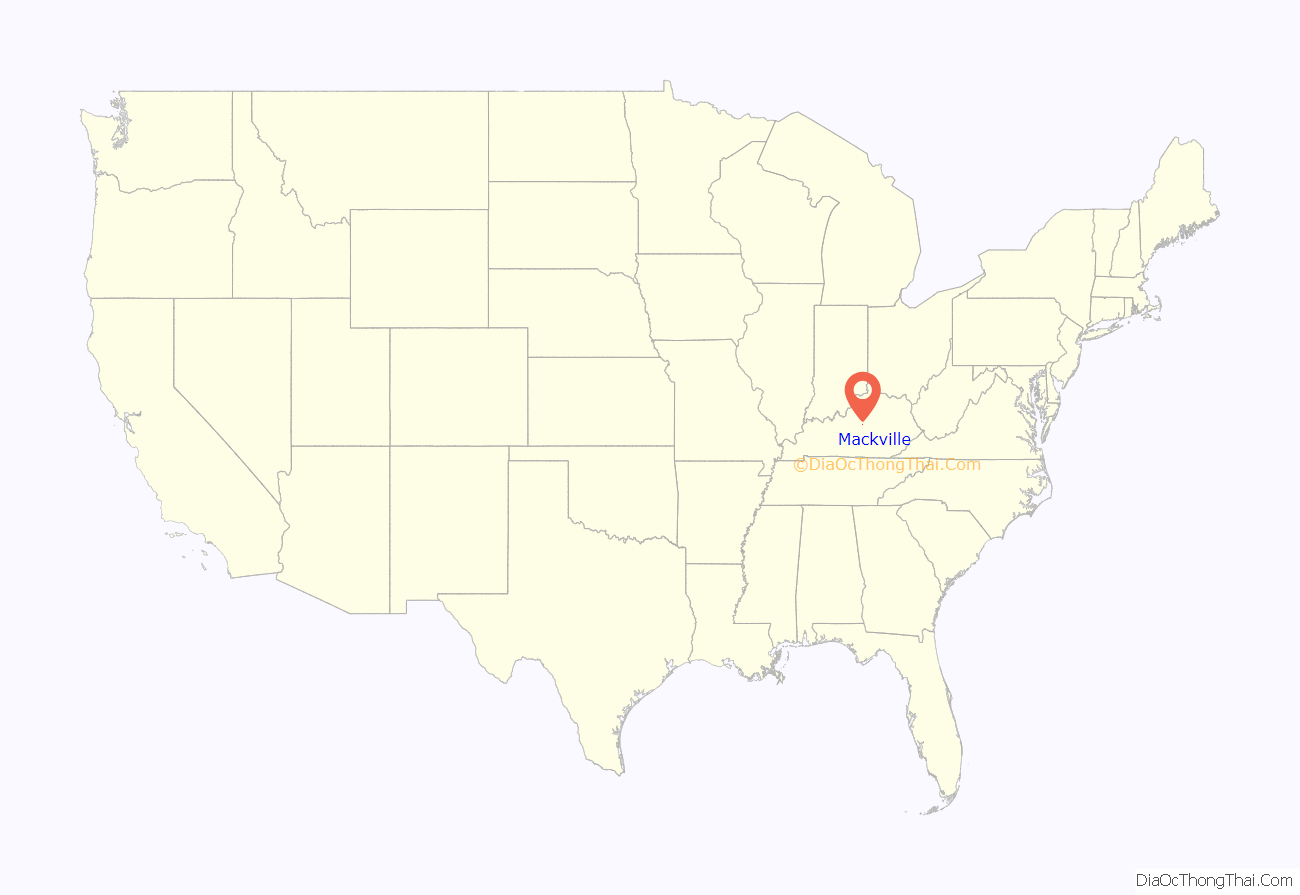
Mackville is a home rule-class city in Washington County, Kentucky, United States. The population was 207 at the time of the 2020 census.
| Name: | Mackville city |
|---|---|
| LSAD Code: | 25 |
| LSAD Description: | city (suffix) |
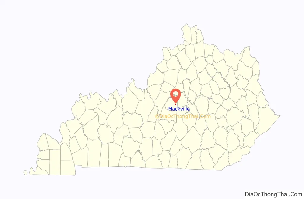
| State: | Kentucky |
| County: | Washington County |
| Incorporated: | 1967 |
| Elevation: | 912 ft (278 m) |
| Total Area: | 0.41 sq mi (1.06 km²) |
| Land Area: | 0.41 sq mi (1.05 km²) |
| Water Area: | 0.00 sq mi (0.01 km²) |
| Total Population: | 207 |
| Population Density: | 511.11/sq mi (197.47/km²) |
| ZIP code: | 40040 |
| Area code: | 859 |
| FIPS code: | 2149206 |
| GNISfeature ID: | 0497430 |
Online Interactive Map
Click on ![]() to view map in "full screen" mode.
to view map in "full screen" mode.
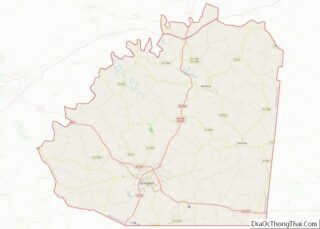
Mackville location map. Where is Mackville city?
History
Mackville was established in 1818 as “Maxville.” It was named for Captain John McKittrick, an American Revolutionary War veteran who owned the original tract upon which the city was founded. The name was changed to the current spelling when a post office was established in the city in 1826.
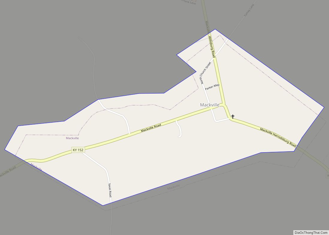
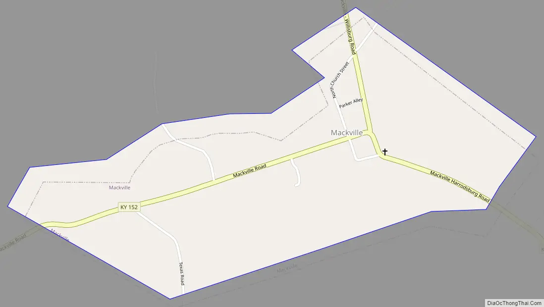
Mackville Road Map
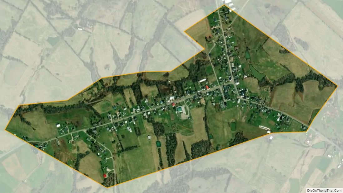
Mackville city Satellite Map
Geography
Mackville is located at 37°44′9″N 85°4′18″W / 37.73583°N 85.07167°W / 37.73583; -85.07167 (37.735886, -85.071648). According to the United States Census Bureau, the city has a total area of 0.4 square miles (1.0 km), all land. The city is situated in eastern Washington County, west of Harrodsburg and east of Springfield, and is concentrated around the intersection of Kentucky Route 152 and Kentucky Route 433.
See also
Map of Kentucky State and its subdivision:- Adair
- Allen
- Anderson
- Ballard
- Barren
- Bath
- Bell
- Boone
- Bourbon
- Boyd
- Boyle
- Bracken
- Breathitt
- Breckinridge
- Bullitt
- Butler
- Caldwell
- Calloway
- Campbell
- Carlisle
- Carroll
- Carter
- Casey
- Christian
- Clark
- Clay
- Clinton
- Crittenden
- Cumberland
- Daviess
- Edmonson
- Elliott
- Estill
- Fayette
- Fleming
- Floyd
- Franklin
- Fulton
- Gallatin
- Garrard
- Grant
- Graves
- Grayson
- Green
- Greenup
- Hancock
- Hardin
- Harlan
- Harrison
- Hart
- Henderson
- Henry
- Hickman
- Hopkins
- Jackson
- Jefferson
- Jessamine
- Johnson
- Kenton
- Knott
- Knox
- Larue
- Laurel
- Lawrence
- Lee
- Leslie
- Letcher
- Lewis
- Lincoln
- Livingston
- Logan
- Lyon
- Madison
- Magoffin
- Marion
- Marshall
- Martin
- Mason
- McCracken
- McCreary
- McLean
- Meade
- Menifee
- Mercer
- Metcalfe
- Monroe
- Montgomery
- Morgan
- Muhlenberg
- Nelson
- Nicholas
- Ohio
- Oldham
- Owen
- Owsley
- Pendleton
- Perry
- Pike
- Powell
- Pulaski
- Robertson
- Rockcastle
- Rowan
- Russell
- Scott
- Shelby
- Simpson
- Spencer
- Taylor
- Todd
- Trigg
- Trimble
- Union
- Warren
- Washington
- Wayne
- Webster
- Whitley
- Wolfe
- Woodford
- Alabama
- Alaska
- Arizona
- Arkansas
- California
- Colorado
- Connecticut
- Delaware
- District of Columbia
- Florida
- Georgia
- Hawaii
- Idaho
- Illinois
- Indiana
- Iowa
- Kansas
- Kentucky
- Louisiana
- Maine
- Maryland
- Massachusetts
- Michigan
- Minnesota
- Mississippi
- Missouri
- Montana
- Nebraska
- Nevada
- New Hampshire
- New Jersey
- New Mexico
- New York
- North Carolina
- North Dakota
- Ohio
- Oklahoma
- Oregon
- Pennsylvania
- Rhode Island
- South Carolina
- South Dakota
- Tennessee
- Texas
- Utah
- Vermont
- Virginia
- Washington
- West Virginia
- Wisconsin
- Wyoming