Maryhill Estates is a home rule-class city in Jefferson County, Kentucky, United States. The population was 179 as of the 2010 census.
Maryhill Estates incorporated in 1963 and was developed in the early 1960s. Developer John A. Walser purchased the land from the Archdiocese of Louisville after World War II and named the development after the Virgin Mary.
It is one of numerous small cities in Jefferson County which have resisted annexation or merger. Merger with nearby St. Matthews or Windy Hills has been discussed but not pursued.
| Name: | Maryhill Estates city |
|---|---|
| LSAD Code: | 25 |
| LSAD Description: | city (suffix) |
| State: | Kentucky |
| County: | Jefferson County |
| Incorporated: | 1963 |
| Elevation: | 505 ft (154 m) |
| Total Area: | 0.04 sq mi (0.10 km²) |
| Land Area: | 0.04 sq mi (0.10 km²) |
| Water Area: | 0.00 sq mi (0.00 km²) |
| Total Population: | 185 |
| Population Density: | 4,625.00/sq mi (1,805.65/km²) |
| ZIP code: | 40207 |
| FIPS code: | 2150412 |
| GNISfeature ID: | 0508552 |
Online Interactive Map
Click on ![]() to view map in "full screen" mode.
to view map in "full screen" mode.
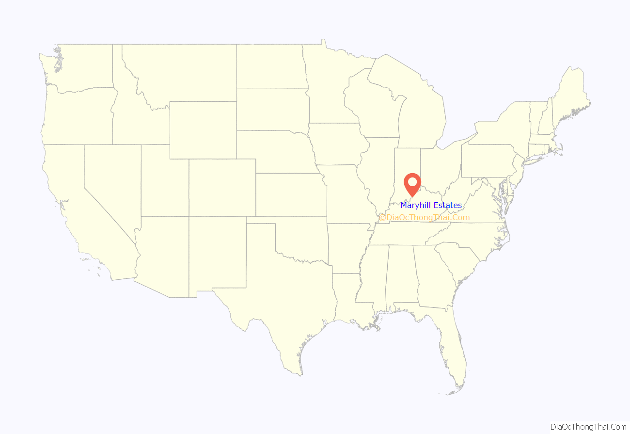
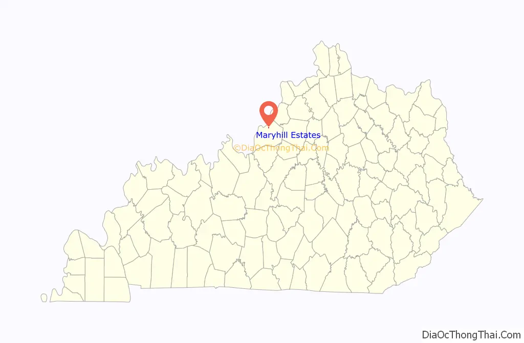
Maryhill Estates location map. Where is Maryhill Estates city?
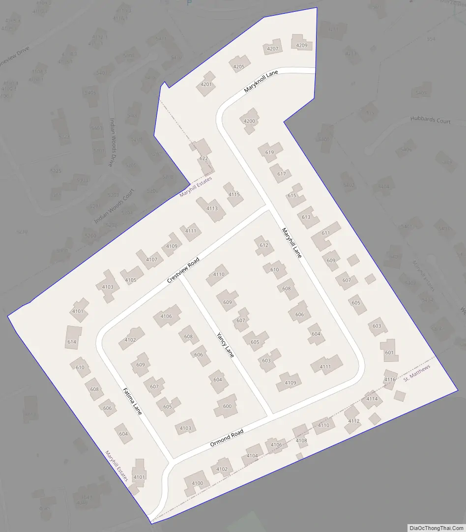
Maryhill Estates Road Map
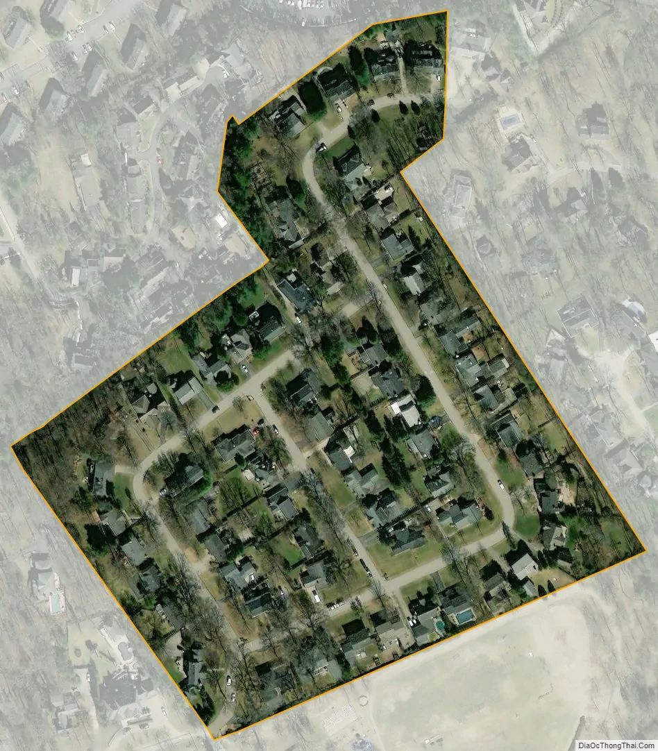
Maryhill Estates city Satellite Map
Geography
Maryhill Estates is located in northeastern Jefferson County at 38°15′59″N 85°39′10″W / 38.26639°N 85.65278°W / 38.26639; -85.65278 (38.266370, -85.652726). It is bordered to the north by Windy Hills, to the south by St. Matthews, and otherwise by consolidated Louisville/Jefferson County. The city consists solely of houses along six streets: Maryhill Lane, Crestview Road, Yancy Lane, Ormond Road, Maryknoll Lane, and Fatima Lane. Downtown Louisville is 7 miles (11 km) to the west.
According to the United States Census Bureau, Maryhill Estates has a total area of 0.04 square miles (0.10 km), all land.
See also
Map of Kentucky State and its subdivision:- Adair
- Allen
- Anderson
- Ballard
- Barren
- Bath
- Bell
- Boone
- Bourbon
- Boyd
- Boyle
- Bracken
- Breathitt
- Breckinridge
- Bullitt
- Butler
- Caldwell
- Calloway
- Campbell
- Carlisle
- Carroll
- Carter
- Casey
- Christian
- Clark
- Clay
- Clinton
- Crittenden
- Cumberland
- Daviess
- Edmonson
- Elliott
- Estill
- Fayette
- Fleming
- Floyd
- Franklin
- Fulton
- Gallatin
- Garrard
- Grant
- Graves
- Grayson
- Green
- Greenup
- Hancock
- Hardin
- Harlan
- Harrison
- Hart
- Henderson
- Henry
- Hickman
- Hopkins
- Jackson
- Jefferson
- Jessamine
- Johnson
- Kenton
- Knott
- Knox
- Larue
- Laurel
- Lawrence
- Lee
- Leslie
- Letcher
- Lewis
- Lincoln
- Livingston
- Logan
- Lyon
- Madison
- Magoffin
- Marion
- Marshall
- Martin
- Mason
- McCracken
- McCreary
- McLean
- Meade
- Menifee
- Mercer
- Metcalfe
- Monroe
- Montgomery
- Morgan
- Muhlenberg
- Nelson
- Nicholas
- Ohio
- Oldham
- Owen
- Owsley
- Pendleton
- Perry
- Pike
- Powell
- Pulaski
- Robertson
- Rockcastle
- Rowan
- Russell
- Scott
- Shelby
- Simpson
- Spencer
- Taylor
- Todd
- Trigg
- Trimble
- Union
- Warren
- Washington
- Wayne
- Webster
- Whitley
- Wolfe
- Woodford
- Alabama
- Alaska
- Arizona
- Arkansas
- California
- Colorado
- Connecticut
- Delaware
- District of Columbia
- Florida
- Georgia
- Hawaii
- Idaho
- Illinois
- Indiana
- Iowa
- Kansas
- Kentucky
- Louisiana
- Maine
- Maryland
- Massachusetts
- Michigan
- Minnesota
- Mississippi
- Missouri
- Montana
- Nebraska
- Nevada
- New Hampshire
- New Jersey
- New Mexico
- New York
- North Carolina
- North Dakota
- Ohio
- Oklahoma
- Oregon
- Pennsylvania
- Rhode Island
- South Carolina
- South Dakota
- Tennessee
- Texas
- Utah
- Vermont
- Virginia
- Washington
- West Virginia
- Wisconsin
- Wyoming


