Munfordville is a home rule-class city in, and the county seat of, Hart County, Kentucky, United States. The population was 1,615 at the 2010 U.S. census.
| Name: | Munfordville city |
|---|---|
| LSAD Code: | 25 |
| LSAD Description: | city (suffix) |
| State: | Kentucky |
| County: | Hart County |
| Incorporated: | 1880 |
| Elevation: | 614 ft (187 m) |
| Total Area: | 2.25 sq mi (5.82 km²) |
| Land Area: | 2.24 sq mi (5.80 km²) |
| Water Area: | 0.01 sq mi (0.02 km²) |
| Total Population: | 1,686 |
| Population Density: | 752.68/sq mi (290.59/km²) |
| ZIP code: | 42765 |
| Area code: | 270 & 364 |
| FIPS code: | 2154570 |
| GNISfeature ID: | 0499104 |
| Website: | cityofmunfordville.com |
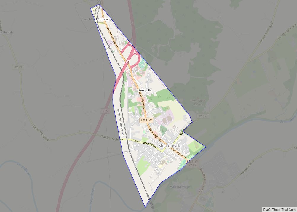
Online Interactive Map
Click on ![]() to view map in "full screen" mode.
to view map in "full screen" mode.
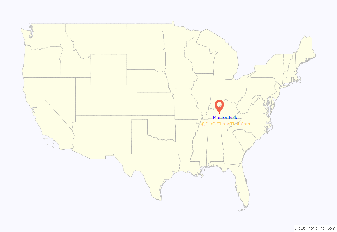
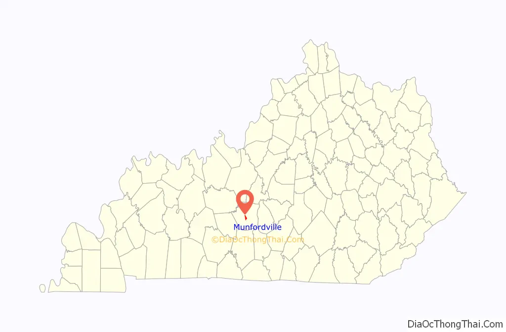
Munfordville location map. Where is Munfordville city?
History
The settlement was once known as “Big Buffalo Crossing”. The current name came from Richard Jones Munford, who donated the land to establish the new county seat in 1816. Munfordville was incorporated in 1858.
In 1862, the Civil War Battle of Munfordville took place in the town.
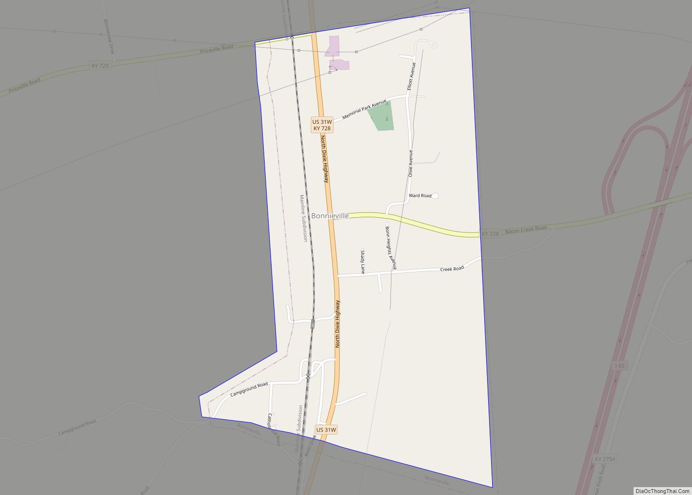
Munfordville Road Map
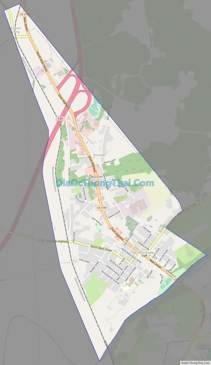
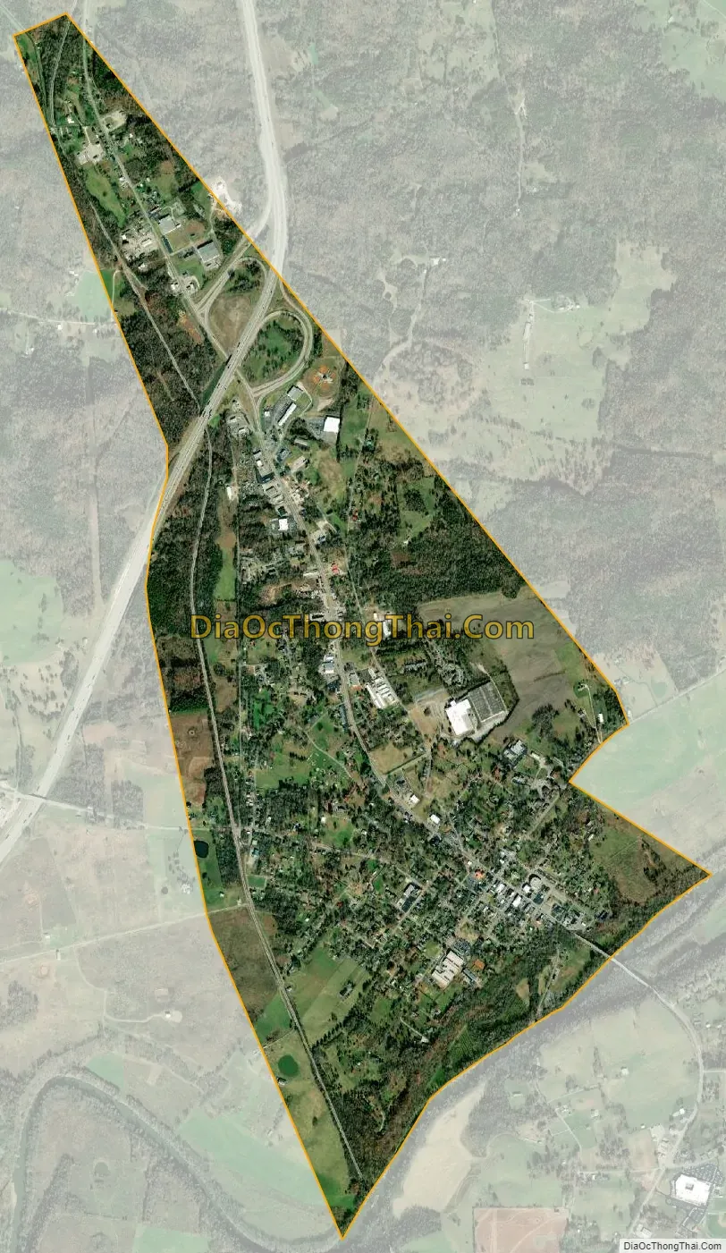
Munfordville city Satellite Map
Geography
Munfordville is located in central Hart County at 37°16′36″N 85°53′52″W / 37.27667°N 85.89778°W / 37.27667; -85.89778 (37.276608, -85.897822), on the north side of the Green River. U.S. Route 31W is Munfordville’s Main Street, while Interstate 65 passes just northwest of town, with access from Exit 65. I-65 leads north 32 miles (51 km) to Elizabethtown and southwest 40 miles (64 km) to Bowling Green.
According to the United States Census Bureau, Munfordville has a total area of 2.2 square miles (5.8 km), of which 0.01 square miles (0.03 km), or 0.47%, are water.
See also
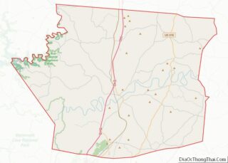
Map of Kentucky State and its subdivision:- Adair
- Allen
- Anderson
- Ballard
- Barren
- Bath
- Bell
- Boone
- Bourbon
- Boyd
- Boyle
- Bracken
- Breathitt
- Breckinridge
- Bullitt
- Butler
- Caldwell
- Calloway
- Campbell
- Carlisle
- Carroll
- Carter
- Casey
- Christian
- Clark
- Clay
- Clinton
- Crittenden
- Cumberland
- Daviess
- Edmonson
- Elliott
- Estill
- Fayette
- Fleming
- Floyd
- Franklin
- Fulton
- Gallatin
- Garrard
- Grant
- Graves
- Grayson
- Green
- Greenup
- Hancock
- Hardin
- Harlan
- Harrison
- Hart
- Henderson
- Henry
- Hickman
- Hopkins
- Jackson
- Jefferson
- Jessamine
- Johnson
- Kenton
- Knott
- Knox
- Larue
- Laurel
- Lawrence
- Lee
- Leslie
- Letcher
- Lewis
- Lincoln
- Livingston
- Logan
- Lyon
- Madison
- Magoffin
- Marion
- Marshall
- Martin
- Mason
- McCracken
- McCreary
- McLean
- Meade
- Menifee
- Mercer
- Metcalfe
- Monroe
- Montgomery
- Morgan
- Muhlenberg
- Nelson
- Nicholas
- Ohio
- Oldham
- Owen
- Owsley
- Pendleton
- Perry
- Pike
- Powell
- Pulaski
- Robertson
- Rockcastle
- Rowan
- Russell
- Scott
- Shelby
- Simpson
- Spencer
- Taylor
- Todd
- Trigg
- Trimble
- Union
- Warren
- Washington
- Wayne
- Webster
- Whitley
- Wolfe
- Woodford
- Alabama
- Alaska
- Arizona
- Arkansas
- California
- Colorado
- Connecticut
- Delaware
- District of Columbia
- Florida
- Georgia
- Hawaii
- Idaho
- Illinois
- Indiana
- Iowa
- Kansas
- Kentucky
- Louisiana
- Maine
- Maryland
- Massachusetts
- Michigan
- Minnesota
- Mississippi
- Missouri
- Montana
- Nebraska
- Nevada
- New Hampshire
- New Jersey
- New Mexico
- New York
- North Carolina
- North Dakota
- Ohio
- Oklahoma
- Oregon
- Pennsylvania
- Rhode Island
- South Carolina
- South Dakota
- Tennessee
- Texas
- Utah
- Vermont
- Virginia
- Washington
- West Virginia
- Wisconsin
- Wyoming