Northfield is a home rule-class city in Jefferson County, Kentucky, United States. The population was 1,020 at the 2010 census.
| Name: | Northfield city |
|---|---|
| LSAD Code: | 25 |
| LSAD Description: | city (suffix) |
| State: | Kentucky |
| County: | Jefferson County |
| Incorporated: | 1965 |
| Elevation: | 584 ft (178 m) |
| Total Area: | 0.47 sq mi (1.22 km²) |
| Land Area: | 0.47 sq mi (1.22 km²) |
| Water Area: | 0.00 sq mi (0.00 km²) |
| Total Population: | 991 |
| Population Density: | 2,104.03/sq mi (812.33/km²) |
| ZIP code: | 40222 |
| FIPS code: | 2156730 |
| GNISfeature ID: | 0499602 |
| Website: | www.cityofnorthfield.com |
Online Interactive Map
Click on ![]() to view map in "full screen" mode.
to view map in "full screen" mode.
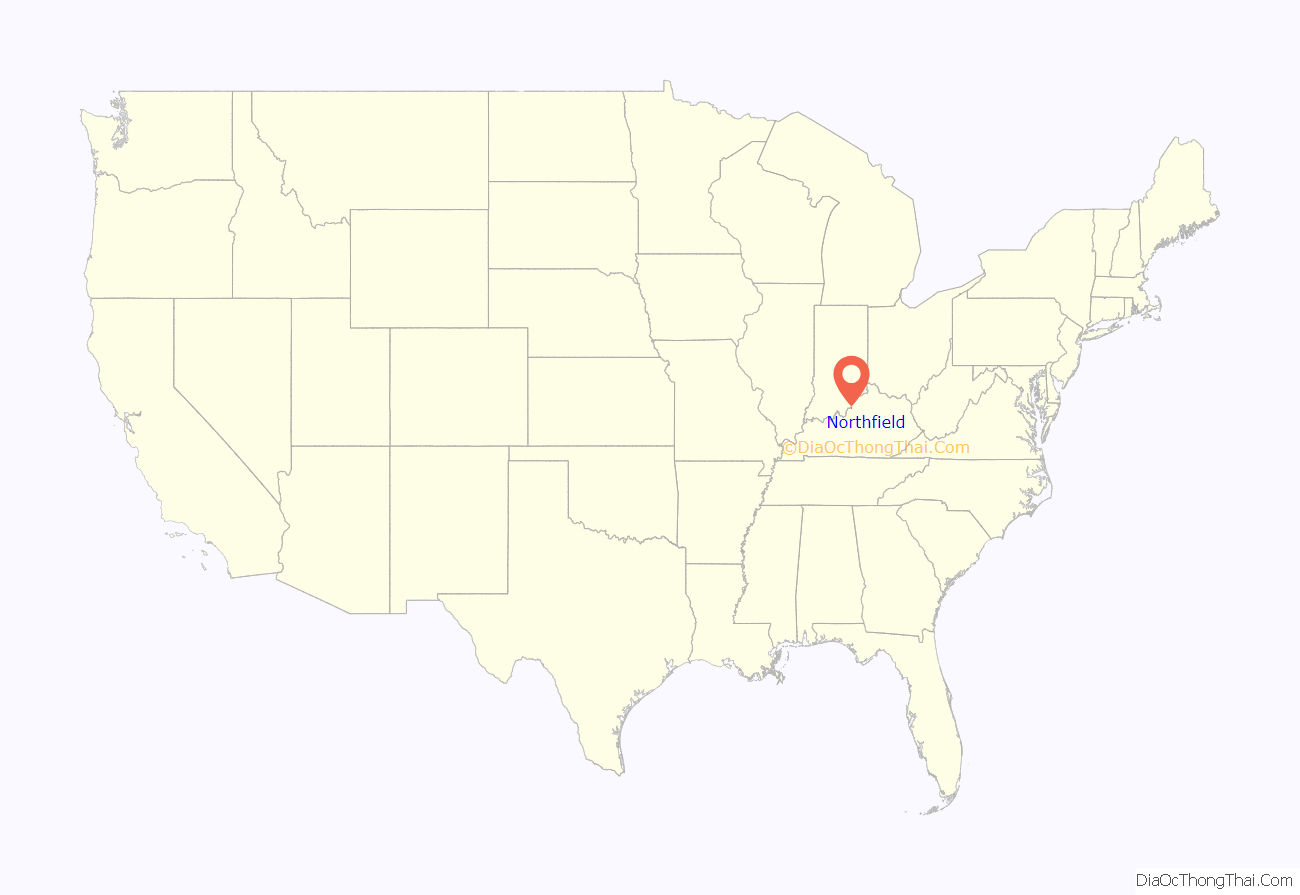
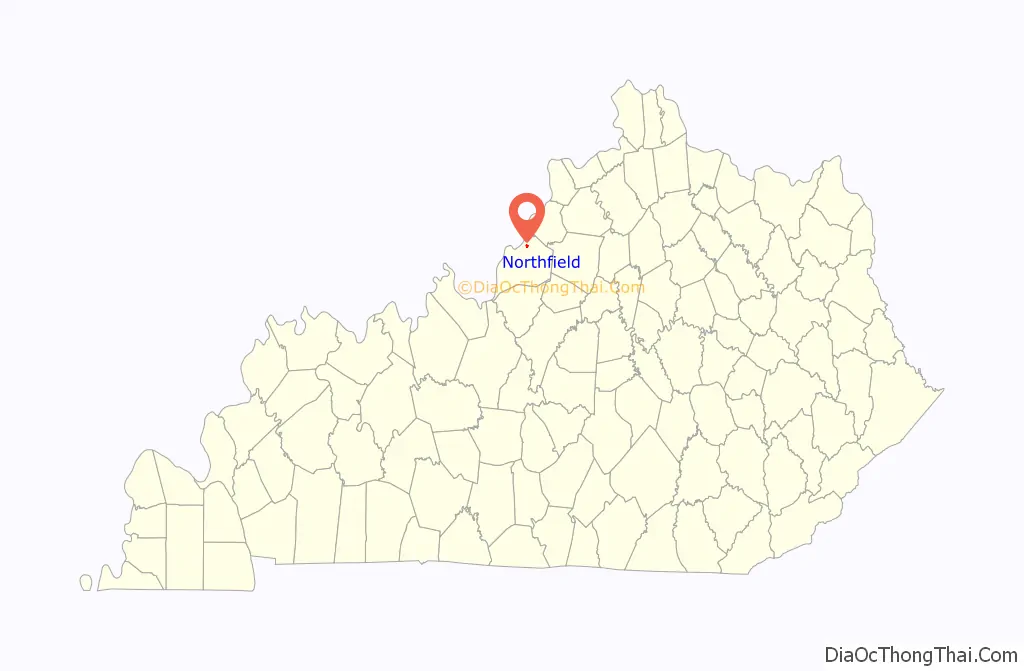
Northfield location map. Where is Northfield city?
History
Northfield was incorporated in July 1965. One of the factors in incorporation was the threat of annexation by nearby St. Matthews. The city is located on a subdivision of the former 3,500 acre Glenview horse farm.
Northfield was one of the hardest hit neighborhoods when Louisville was hit by an F4 tornado on April 3, 1974. This tornado was part of the 1974 Super Outbreak of 148 tornadoes that hit 13 U.S. states and one Canadian province.
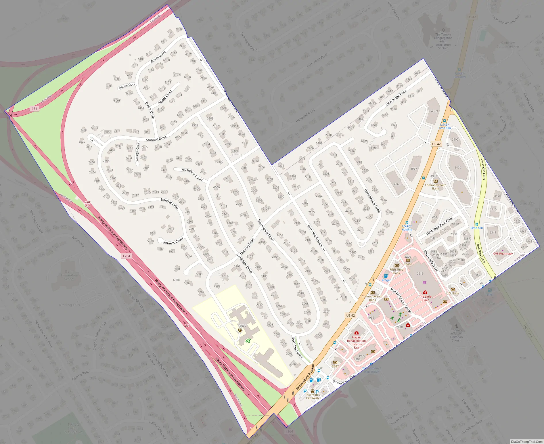
Northfield Road Map
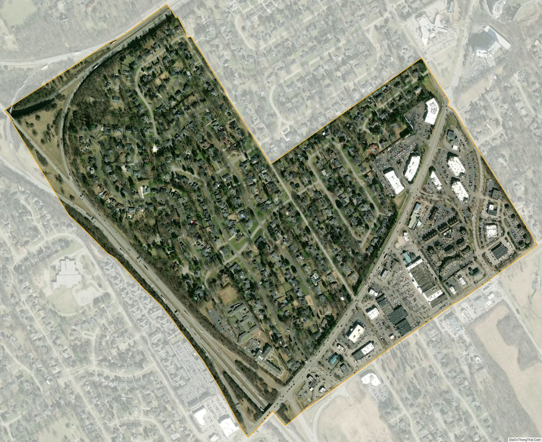
Northfield city Satellite Map
Geography
Northfield is located in northeastern Jefferson County at 38°17′11″N 85°38′11″W / 38.28639°N 85.63639°W / 38.28639; -85.63639 (38.286319, -85.636376). It is bordered to the north by Glenview Manor, to the south by Crossgate, and otherwise by consolidated Louisville/Jefferson County. Downtown Louisville is 8 miles (13 km) to the southwest.
According to the United States Census Bureau, Northfield has a total area of 0.47 square miles (1.22 km), all land.
See also
Map of Kentucky State and its subdivision:- Adair
- Allen
- Anderson
- Ballard
- Barren
- Bath
- Bell
- Boone
- Bourbon
- Boyd
- Boyle
- Bracken
- Breathitt
- Breckinridge
- Bullitt
- Butler
- Caldwell
- Calloway
- Campbell
- Carlisle
- Carroll
- Carter
- Casey
- Christian
- Clark
- Clay
- Clinton
- Crittenden
- Cumberland
- Daviess
- Edmonson
- Elliott
- Estill
- Fayette
- Fleming
- Floyd
- Franklin
- Fulton
- Gallatin
- Garrard
- Grant
- Graves
- Grayson
- Green
- Greenup
- Hancock
- Hardin
- Harlan
- Harrison
- Hart
- Henderson
- Henry
- Hickman
- Hopkins
- Jackson
- Jefferson
- Jessamine
- Johnson
- Kenton
- Knott
- Knox
- Larue
- Laurel
- Lawrence
- Lee
- Leslie
- Letcher
- Lewis
- Lincoln
- Livingston
- Logan
- Lyon
- Madison
- Magoffin
- Marion
- Marshall
- Martin
- Mason
- McCracken
- McCreary
- McLean
- Meade
- Menifee
- Mercer
- Metcalfe
- Monroe
- Montgomery
- Morgan
- Muhlenberg
- Nelson
- Nicholas
- Ohio
- Oldham
- Owen
- Owsley
- Pendleton
- Perry
- Pike
- Powell
- Pulaski
- Robertson
- Rockcastle
- Rowan
- Russell
- Scott
- Shelby
- Simpson
- Spencer
- Taylor
- Todd
- Trigg
- Trimble
- Union
- Warren
- Washington
- Wayne
- Webster
- Whitley
- Wolfe
- Woodford
- Alabama
- Alaska
- Arizona
- Arkansas
- California
- Colorado
- Connecticut
- Delaware
- District of Columbia
- Florida
- Georgia
- Hawaii
- Idaho
- Illinois
- Indiana
- Iowa
- Kansas
- Kentucky
- Louisiana
- Maine
- Maryland
- Massachusetts
- Michigan
- Minnesota
- Mississippi
- Missouri
- Montana
- Nebraska
- Nevada
- New Hampshire
- New Jersey
- New Mexico
- New York
- North Carolina
- North Dakota
- Ohio
- Oklahoma
- Oregon
- Pennsylvania
- Rhode Island
- South Carolina
- South Dakota
- Tennessee
- Texas
- Utah
- Vermont
- Virginia
- Washington
- West Virginia
- Wisconsin
- Wyoming


