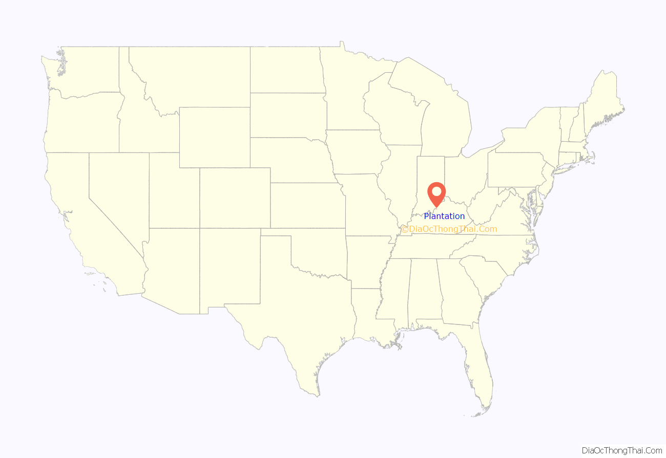
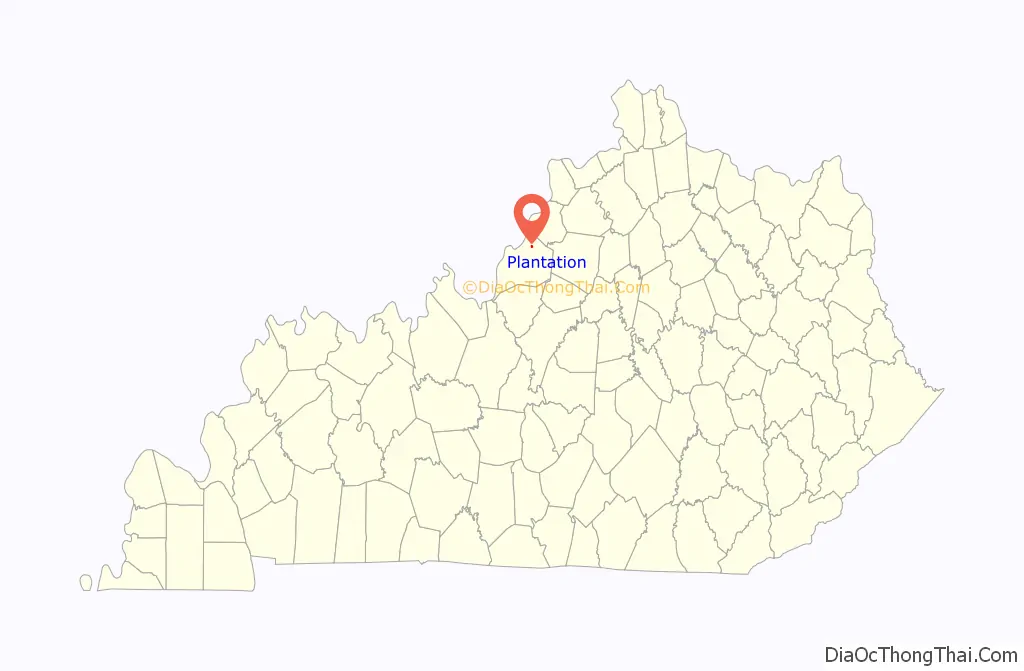
Plantation is a home rule-class city in Jefferson County, Kentucky, United States, and a part of the Louisville Metro government. The population was 832 at the 2010 census, down from 902 at the 2000 census.
| Name: | Plantation city |
|---|---|
| LSAD Code: | 25 |
| LSAD Description: | city (suffix) |
| State: | Kentucky |
| County: | Jefferson County |
| Incorporated: | 1960 |
| Elevation: | 633 ft (193 m) |
| Total Area: | 0.20 sq mi (0.52 km²) |
| Land Area: | 0.20 sq mi (0.52 km²) |
| Water Area: | 0.00 sq mi (0.00 km²) |
| Total Population: | 826 |
| Population Density: | 4,089.11/sq mi (1,579.02/km²) |
| ZIP code: | 40242 |
| FIPS code: | 2161554 |
| GNISfeature ID: | 0500795 |
| Website: | www.plantationky.com |
Online Interactive Map
Click on ![]() to view map in "full screen" mode.
to view map in "full screen" mode.
Plantation location map. Where is Plantation city?
History
According to the Louisville Metro Department of Neighborhoods, Plantation was originally built around farmland and later additions from the Palmer-Ball farm of approximately 100 acres (40 ha). The original subdivision was established for the Plantation Swim Club that existed from 1956 until 2004. The Plantation Swim Club was the home of the National Swim and Diving Championships as seen on ABC Sports for many years. Part of the original land division included a gift to the Catholic Church for the establishment of the Mother of Good Counsel parish and school, which is now home to Portland Christian School.
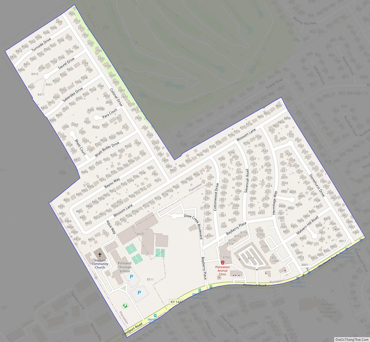
Plantation Road Map
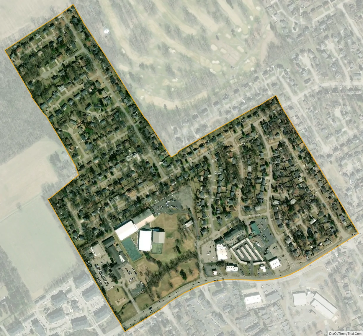
Plantation city Satellite Map
Geography
Plantation is located in northeastern Jefferson County at 38°17′00″N 85°35′30″W / 38.283420°N 85.591635°W / 38.283420; -85.591635. Downtown Louisville is 10 miles (16 km) to the southwest. Plantation is bordered to the northeast by Langdon Place, to the southeast by Westwood, to the south by Briarwood, and in all other directions by consolidated Louisville/Jefferson County. According to the United States Census Bureau, Plantation has a total area of 0.2 square miles (0.5 km), all of it recorded as land.
The boundaries for Plantation are Westport Road on the southern boundary and Stonehurst Drive on the eastern edge of the neighborhood. Colonel Drive runs north to Turnside Drive which marks the northern boundary and Blossom Lane and Bayou Way extend west to the western boundary.
See also
Map of Kentucky State and its subdivision:- Adair
- Allen
- Anderson
- Ballard
- Barren
- Bath
- Bell
- Boone
- Bourbon
- Boyd
- Boyle
- Bracken
- Breathitt
- Breckinridge
- Bullitt
- Butler
- Caldwell
- Calloway
- Campbell
- Carlisle
- Carroll
- Carter
- Casey
- Christian
- Clark
- Clay
- Clinton
- Crittenden
- Cumberland
- Daviess
- Edmonson
- Elliott
- Estill
- Fayette
- Fleming
- Floyd
- Franklin
- Fulton
- Gallatin
- Garrard
- Grant
- Graves
- Grayson
- Green
- Greenup
- Hancock
- Hardin
- Harlan
- Harrison
- Hart
- Henderson
- Henry
- Hickman
- Hopkins
- Jackson
- Jefferson
- Jessamine
- Johnson
- Kenton
- Knott
- Knox
- Larue
- Laurel
- Lawrence
- Lee
- Leslie
- Letcher
- Lewis
- Lincoln
- Livingston
- Logan
- Lyon
- Madison
- Magoffin
- Marion
- Marshall
- Martin
- Mason
- McCracken
- McCreary
- McLean
- Meade
- Menifee
- Mercer
- Metcalfe
- Monroe
- Montgomery
- Morgan
- Muhlenberg
- Nelson
- Nicholas
- Ohio
- Oldham
- Owen
- Owsley
- Pendleton
- Perry
- Pike
- Powell
- Pulaski
- Robertson
- Rockcastle
- Rowan
- Russell
- Scott
- Shelby
- Simpson
- Spencer
- Taylor
- Todd
- Trigg
- Trimble
- Union
- Warren
- Washington
- Wayne
- Webster
- Whitley
- Wolfe
- Woodford
- Alabama
- Alaska
- Arizona
- Arkansas
- California
- Colorado
- Connecticut
- Delaware
- District of Columbia
- Florida
- Georgia
- Hawaii
- Idaho
- Illinois
- Indiana
- Iowa
- Kansas
- Kentucky
- Louisiana
- Maine
- Maryland
- Massachusetts
- Michigan
- Minnesota
- Mississippi
- Missouri
- Montana
- Nebraska
- Nevada
- New Hampshire
- New Jersey
- New Mexico
- New York
- North Carolina
- North Dakota
- Ohio
- Oklahoma
- Oregon
- Pennsylvania
- Rhode Island
- South Carolina
- South Dakota
- Tennessee
- Texas
- Utah
- Vermont
- Virginia
- Washington
- West Virginia
- Wisconsin
- Wyoming


