Raywick is a home rule-class city in Marion County, Kentucky, United States. The population was 155 at the 2020 census.
| Name: | Raywick city |
|---|---|
| LSAD Code: | 25 |
| LSAD Description: | city (suffix) |
| State: | Kentucky |
| County: | Marion County |
| Elevation: | 607 ft (185 m) |
| Total Area: | 0.92 sq mi (2.37 km²) |
| Land Area: | 0.90 sq mi (2.32 km²) |
| Water Area: | 0.02 sq mi (0.05 km²) |
| Total Population: | 155 |
| Population Density: | 172.99/sq mi (66.80/km²) |
| ZIP code: | 40060 |
| Area code: | 270 & 364 |
| FIPS code: | 2164146 |
| GNISfeature ID: | 0501630 |
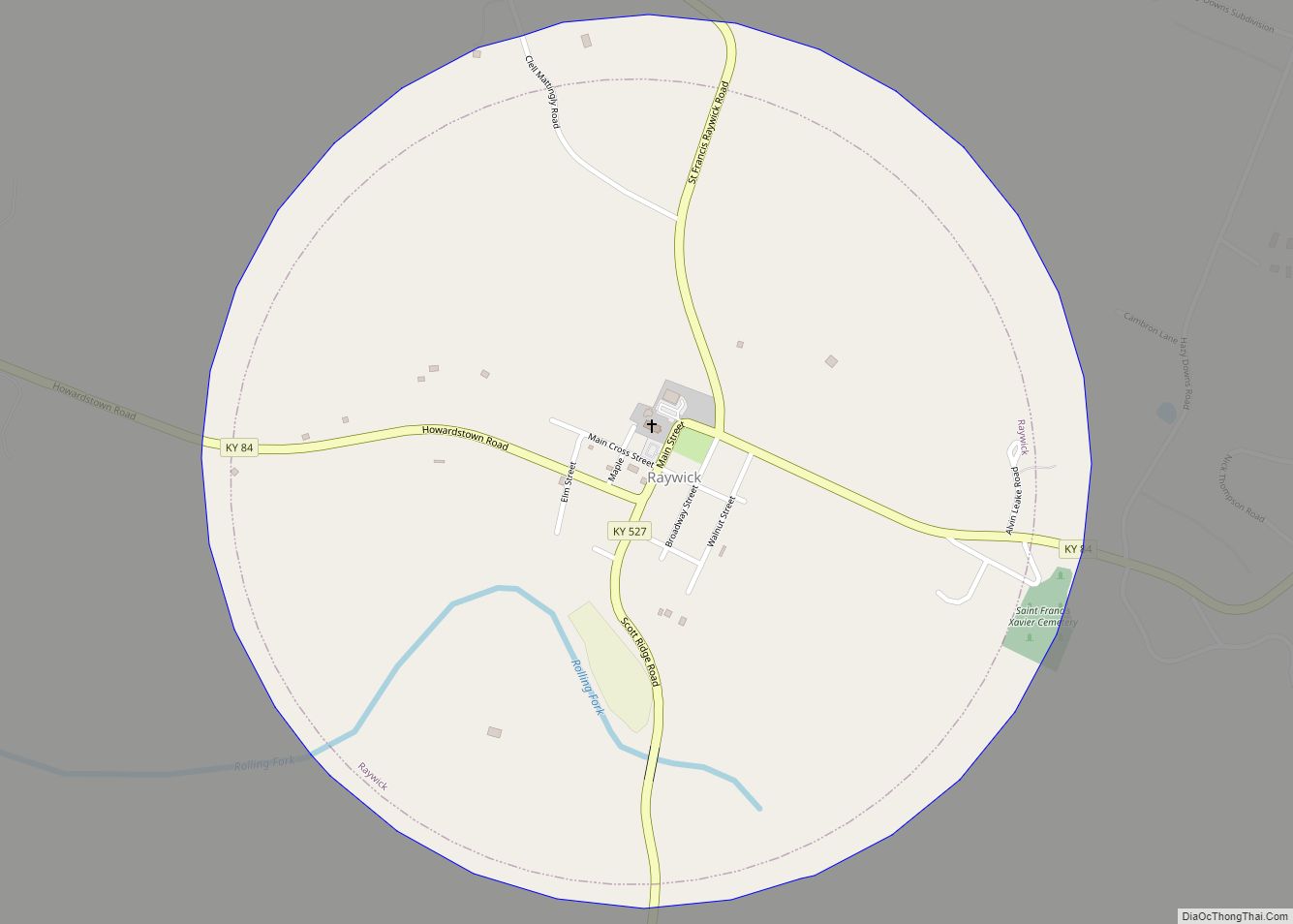
Online Interactive Map
Click on ![]() to view map in "full screen" mode.
to view map in "full screen" mode.
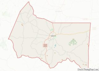
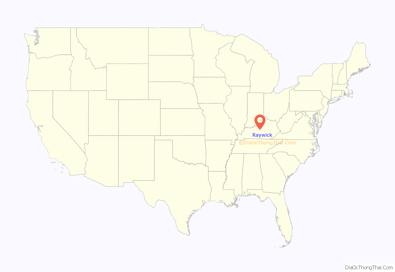
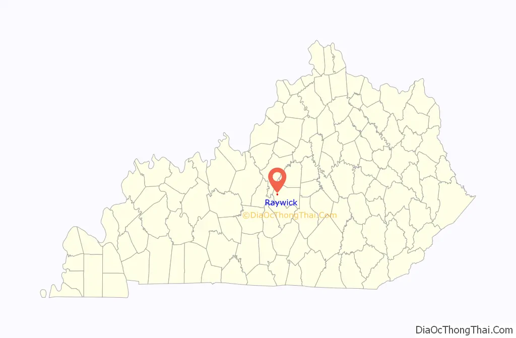
Raywick location map. Where is Raywick city?
History
The name “Raywick” is a compound of the names of two pioneer families, Ray and Wickliffe. Two members of these families, Loyd Ray and Nancy Wickliffe, married in 1811. A post office has been in operation at Raywick since 1833. The city incorporated in 1838.
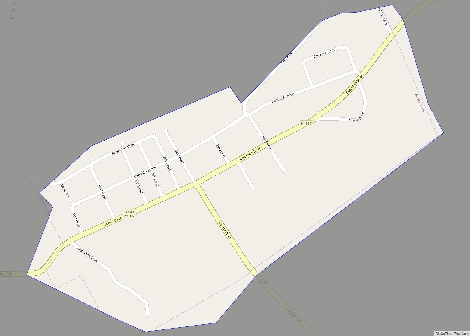
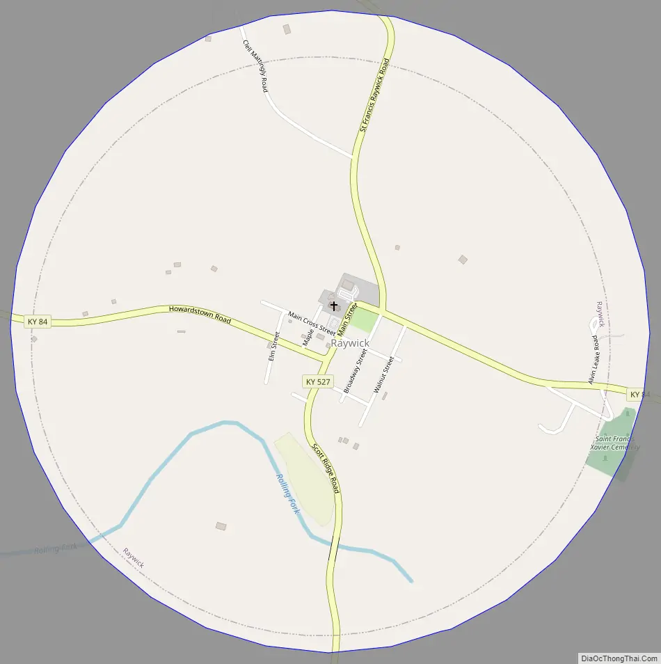
Raywick Road Map
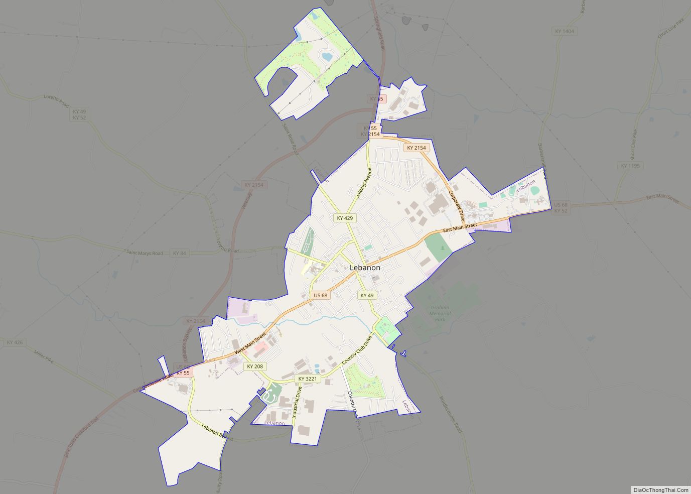
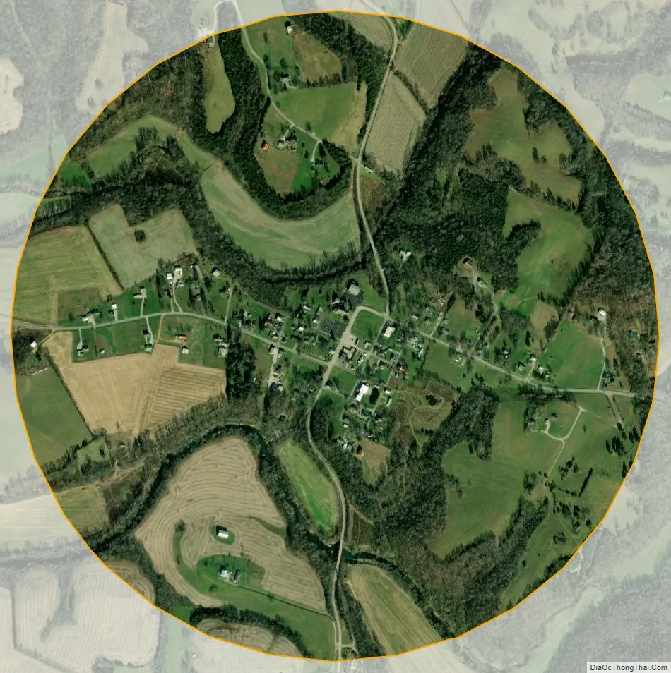
Raywick city Satellite Map
Geography
Raywick is located in western Marion County at 37°33′38″N 85°25′47″W / 37.56056°N 85.42972°W / 37.56056; -85.42972 (37.560472, −85.429675). The city is situated along the Rolling Fork, just upstream from the river’s confluence with Prather Creek, and 5 miles (8 km) east of the point where Marion, Nelson, and LaRue counties meet. Raywick is concentrated around the intersection of Kentucky Route 527, which leads north 6 miles (10 km) to Loretto and south over the Muldraugh Hill escarpment 18 miles (29 km) to Campbellsville, and Kentucky Route 84, which connects the city with Lebanon 10 miles (16 km) to the east.
According to the United States Census Bureau, the city has a total area of 0.92 square miles (2.38 km), of which 0.02 square miles (0.05 km), or 2.08%, are water.
See also
Map of Kentucky State and its subdivision:- Adair
- Allen
- Anderson
- Ballard
- Barren
- Bath
- Bell
- Boone
- Bourbon
- Boyd
- Boyle
- Bracken
- Breathitt
- Breckinridge
- Bullitt
- Butler
- Caldwell
- Calloway
- Campbell
- Carlisle
- Carroll
- Carter
- Casey
- Christian
- Clark
- Clay
- Clinton
- Crittenden
- Cumberland
- Daviess
- Edmonson
- Elliott
- Estill
- Fayette
- Fleming
- Floyd
- Franklin
- Fulton
- Gallatin
- Garrard
- Grant
- Graves
- Grayson
- Green
- Greenup
- Hancock
- Hardin
- Harlan
- Harrison
- Hart
- Henderson
- Henry
- Hickman
- Hopkins
- Jackson
- Jefferson
- Jessamine
- Johnson
- Kenton
- Knott
- Knox
- Larue
- Laurel
- Lawrence
- Lee
- Leslie
- Letcher
- Lewis
- Lincoln
- Livingston
- Logan
- Lyon
- Madison
- Magoffin
- Marion
- Marshall
- Martin
- Mason
- McCracken
- McCreary
- McLean
- Meade
- Menifee
- Mercer
- Metcalfe
- Monroe
- Montgomery
- Morgan
- Muhlenberg
- Nelson
- Nicholas
- Ohio
- Oldham
- Owen
- Owsley
- Pendleton
- Perry
- Pike
- Powell
- Pulaski
- Robertson
- Rockcastle
- Rowan
- Russell
- Scott
- Shelby
- Simpson
- Spencer
- Taylor
- Todd
- Trigg
- Trimble
- Union
- Warren
- Washington
- Wayne
- Webster
- Whitley
- Wolfe
- Woodford
- Alabama
- Alaska
- Arizona
- Arkansas
- California
- Colorado
- Connecticut
- Delaware
- District of Columbia
- Florida
- Georgia
- Hawaii
- Idaho
- Illinois
- Indiana
- Iowa
- Kansas
- Kentucky
- Louisiana
- Maine
- Maryland
- Massachusetts
- Michigan
- Minnesota
- Mississippi
- Missouri
- Montana
- Nebraska
- Nevada
- New Hampshire
- New Jersey
- New Mexico
- New York
- North Carolina
- North Dakota
- Ohio
- Oklahoma
- Oregon
- Pennsylvania
- Rhode Island
- South Carolina
- South Dakota
- Tennessee
- Texas
- Utah
- Vermont
- Virginia
- Washington
- West Virginia
- Wisconsin
- Wyoming