Rolling Fields is a home rule-class city in Jefferson County, Kentucky, United States. The population was 646 at the 2010 census. It incorporated as a city in 1958.
It was the fifth-wealthiest city in Kentucky by median household income in 2000. It is adjacent to the similar small cities of Indian Hills and Mockingbird Valley, and all three are served by the Indian Hills Police Department.
After settlement by Europeans, the land was part of the Veech family farm for over 100 years. Land from the farm was also developed into Indian Hills and the adjoining Louisville Country Club. Most of the homes in Rolling Fields were built in the 1940s and 1950s.
| Name: | Rolling Fields city |
|---|---|
| LSAD Code: | 25 |
| LSAD Description: | city (suffix) |
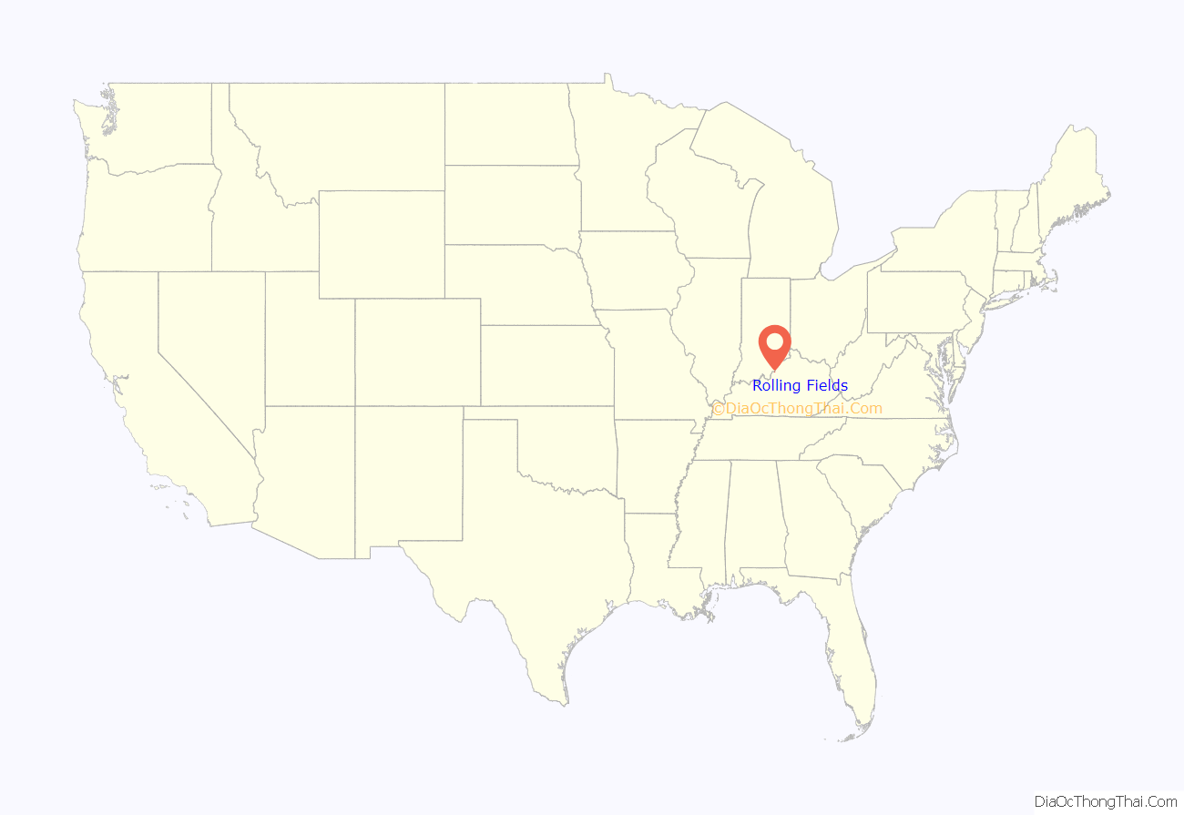
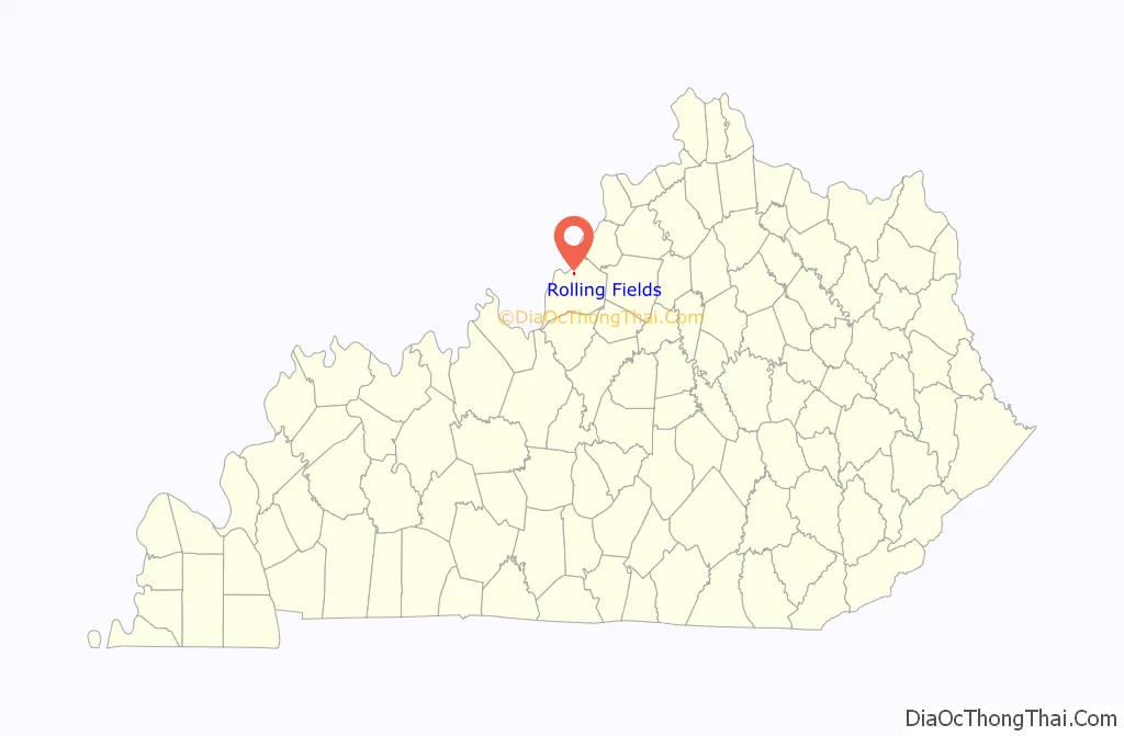
| State: | Kentucky |
| County: | Jefferson County |
| Elevation: | 561 ft (171 m) |
| Total Area: | 0.23 sq mi (0.60 km²) |
| Land Area: | 0.23 sq mi (0.60 km²) |
| Water Area: | 0.00 sq mi (0.00 km²) |
| Total Population: | 720 |
| Population Density: | 3,103.45/sq mi (1,197.05/km²) |
| ZIP code: | 40207 |
| FIPS code: | 2166486 |
| GNISfeature ID: | 0502292 |
| Website: | rollingfieldsky.org |
Online Interactive Map
Click on ![]() to view map in "full screen" mode.
to view map in "full screen" mode.
Rolling Fields location map. Where is Rolling Fields city?
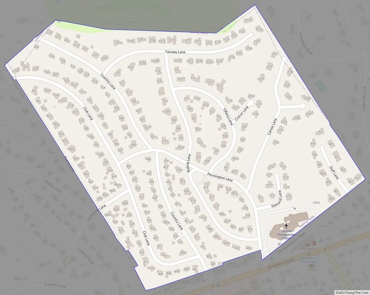
Rolling Fields Road Map
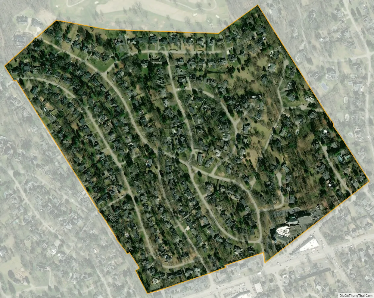
Rolling Fields city Satellite Map
Geography
Rolling Fields is located in northern Jefferson County at 38°16′9″N 85°40′12″W / 38.26917°N 85.67000°W / 38.26917; -85.67000 (38.269120, -85.670117). It is bordered to the west by Mockingbird Valley, to the east by Indian Hills, and otherwise by consolidated Louisville/Jefferson County. It is 5 miles (8 km) east of downtown Louisville.
According to the United States Census Bureau, the city of Rolling Fields has a total area of 0.23 square miles (0.60 km), all of it recorded as land.
Swing Lane west of Club Lane is actually in Mockingbird Valley, although the only egress is into Rolling Hills. The homes on the east side of the lane are in Rolling Fields, while those on the west side are either in Mockingbird Valley or Louisville.
See also
Map of Kentucky State and its subdivision:- Adair
- Allen
- Anderson
- Ballard
- Barren
- Bath
- Bell
- Boone
- Bourbon
- Boyd
- Boyle
- Bracken
- Breathitt
- Breckinridge
- Bullitt
- Butler
- Caldwell
- Calloway
- Campbell
- Carlisle
- Carroll
- Carter
- Casey
- Christian
- Clark
- Clay
- Clinton
- Crittenden
- Cumberland
- Daviess
- Edmonson
- Elliott
- Estill
- Fayette
- Fleming
- Floyd
- Franklin
- Fulton
- Gallatin
- Garrard
- Grant
- Graves
- Grayson
- Green
- Greenup
- Hancock
- Hardin
- Harlan
- Harrison
- Hart
- Henderson
- Henry
- Hickman
- Hopkins
- Jackson
- Jefferson
- Jessamine
- Johnson
- Kenton
- Knott
- Knox
- Larue
- Laurel
- Lawrence
- Lee
- Leslie
- Letcher
- Lewis
- Lincoln
- Livingston
- Logan
- Lyon
- Madison
- Magoffin
- Marion
- Marshall
- Martin
- Mason
- McCracken
- McCreary
- McLean
- Meade
- Menifee
- Mercer
- Metcalfe
- Monroe
- Montgomery
- Morgan
- Muhlenberg
- Nelson
- Nicholas
- Ohio
- Oldham
- Owen
- Owsley
- Pendleton
- Perry
- Pike
- Powell
- Pulaski
- Robertson
- Rockcastle
- Rowan
- Russell
- Scott
- Shelby
- Simpson
- Spencer
- Taylor
- Todd
- Trigg
- Trimble
- Union
- Warren
- Washington
- Wayne
- Webster
- Whitley
- Wolfe
- Woodford
- Alabama
- Alaska
- Arizona
- Arkansas
- California
- Colorado
- Connecticut
- Delaware
- District of Columbia
- Florida
- Georgia
- Hawaii
- Idaho
- Illinois
- Indiana
- Iowa
- Kansas
- Kentucky
- Louisiana
- Maine
- Maryland
- Massachusetts
- Michigan
- Minnesota
- Mississippi
- Missouri
- Montana
- Nebraska
- Nevada
- New Hampshire
- New Jersey
- New Mexico
- New York
- North Carolina
- North Dakota
- Ohio
- Oklahoma
- Oregon
- Pennsylvania
- Rhode Island
- South Carolina
- South Dakota
- Tennessee
- Texas
- Utah
- Vermont
- Virginia
- Washington
- West Virginia
- Wisconsin
- Wyoming


