Sadieville is a home rule-class city in Scott County, Kentucky, in the United States. The population was 263 during the year 2000 U.S. Census. It is part of the Lexington-Fayette Metropolitan Statistical Area.
| Name: | Sadieville city |
|---|---|
| LSAD Code: | 25 |
| LSAD Description: | city (suffix) |
| State: | Kentucky |
| County: | Scott County |
| Incorporated: | 1880 |
| Elevation: | 833 ft (254 m) |
| Total Area: | 1.11 sq mi (2.88 km²) |
| Land Area: | 1.08 sq mi (2.81 km²) |
| Water Area: | 0.03 sq mi (0.07 km²) |
| Total Population: | 320 |
| Population Density: | 295.48/sq mi (114.07/km²) |
| ZIP code: | 40370 |
| Area code: | 502 |
| FIPS code: | 2167656 |
| GNISfeature ID: | 0502554 |
| Website: | www.cityofsadieville.com |
Online Interactive Map
Click on ![]() to view map in "full screen" mode.
to view map in "full screen" mode.
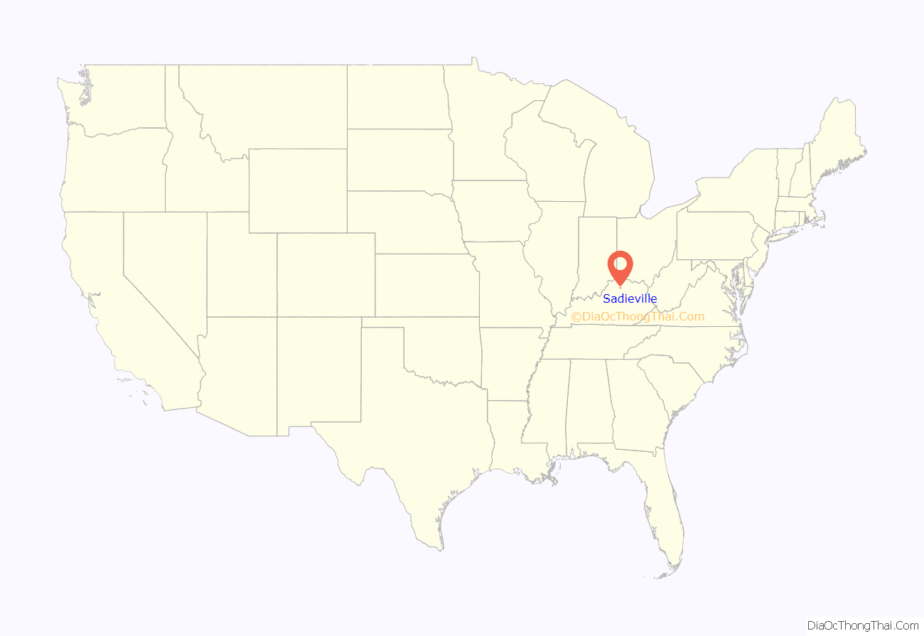
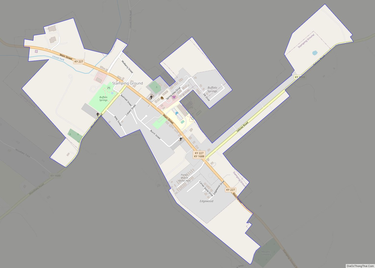
Sadieville location map. Where is Sadieville city?
History
Sadieville is a railroad town, having grown up after the Cincinnati Southern Railroad was built through the area in 1876. The post office was established in 1878 and named for Sarah Martha “Sadie” Emison Pack, a respected local. The city was incorporated in 1880.
The Burgess and Gano Company formerly made Sadieville the largest market for shipping yearling mules and colts in the United States.
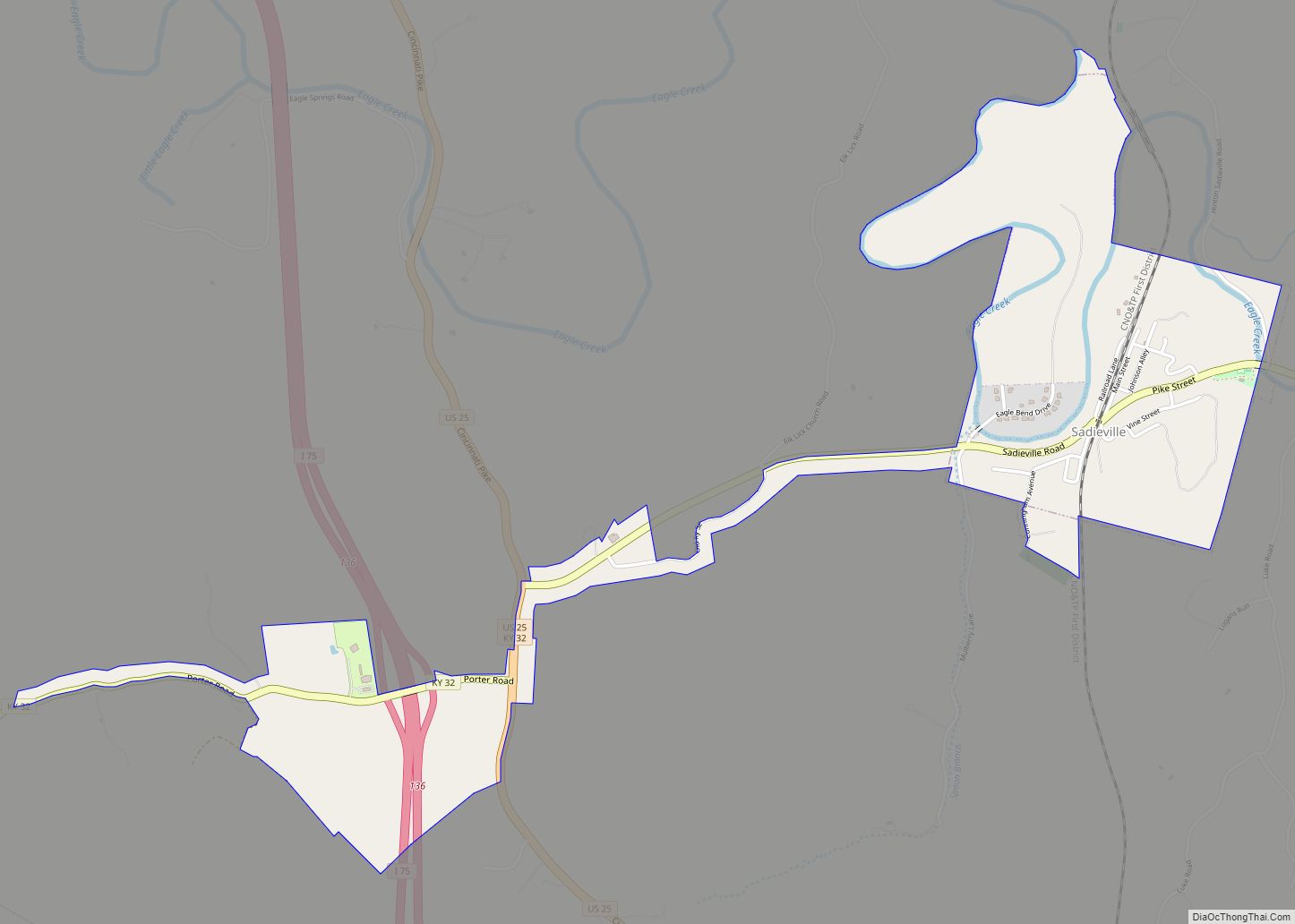
Sadieville Road Map
Sadieville city Satellite Map
Geography
Sadieville is located at 38°23′30″N 84°32′8″W / 38.39167°N 84.53556°W / 38.39167; -84.53556 (38.391726, -84.535592), where Ky. 32 crosses Eagle Creek. The site formerly boasted a covered bridge. According to the United States Census Bureau, the city has a total area of 0.7 square miles (1.8 km), all land.
See also
Map of Kentucky State and its subdivision:- Adair
- Allen
- Anderson
- Ballard
- Barren
- Bath
- Bell
- Boone
- Bourbon
- Boyd
- Boyle
- Bracken
- Breathitt
- Breckinridge
- Bullitt
- Butler
- Caldwell
- Calloway
- Campbell
- Carlisle
- Carroll
- Carter
- Casey
- Christian
- Clark
- Clay
- Clinton
- Crittenden
- Cumberland
- Daviess
- Edmonson
- Elliott
- Estill
- Fayette
- Fleming
- Floyd
- Franklin
- Fulton
- Gallatin
- Garrard
- Grant
- Graves
- Grayson
- Green
- Greenup
- Hancock
- Hardin
- Harlan
- Harrison
- Hart
- Henderson
- Henry
- Hickman
- Hopkins
- Jackson
- Jefferson
- Jessamine
- Johnson
- Kenton
- Knott
- Knox
- Larue
- Laurel
- Lawrence
- Lee
- Leslie
- Letcher
- Lewis
- Lincoln
- Livingston
- Logan
- Lyon
- Madison
- Magoffin
- Marion
- Marshall
- Martin
- Mason
- McCracken
- McCreary
- McLean
- Meade
- Menifee
- Mercer
- Metcalfe
- Monroe
- Montgomery
- Morgan
- Muhlenberg
- Nelson
- Nicholas
- Ohio
- Oldham
- Owen
- Owsley
- Pendleton
- Perry
- Pike
- Powell
- Pulaski
- Robertson
- Rockcastle
- Rowan
- Russell
- Scott
- Shelby
- Simpson
- Spencer
- Taylor
- Todd
- Trigg
- Trimble
- Union
- Warren
- Washington
- Wayne
- Webster
- Whitley
- Wolfe
- Woodford
- Alabama
- Alaska
- Arizona
- Arkansas
- California
- Colorado
- Connecticut
- Delaware
- District of Columbia
- Florida
- Georgia
- Hawaii
- Idaho
- Illinois
- Indiana
- Iowa
- Kansas
- Kentucky
- Louisiana
- Maine
- Maryland
- Massachusetts
- Michigan
- Minnesota
- Mississippi
- Missouri
- Montana
- Nebraska
- Nevada
- New Hampshire
- New Jersey
- New Mexico
- New York
- North Carolina
- North Dakota
- Ohio
- Oklahoma
- Oregon
- Pennsylvania
- Rhode Island
- South Carolina
- South Dakota
- Tennessee
- Texas
- Utah
- Vermont
- Virginia
- Washington
- West Virginia
- Wisconsin
- Wyoming
