Science Hill is a home rule-class city in Pulaski County, Kentucky, in the United States. The population was 693 as of the 2010 U.S. Census.
| Name: | Science Hill city |
|---|---|
| LSAD Code: | 25 |
| LSAD Description: | city (suffix) |
| State: | Kentucky |
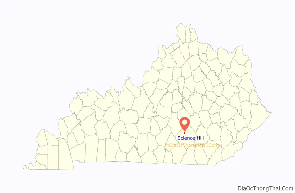
| County: | Pulaski County |
| Incorporated: | 1882 |
| Elevation: | 1,132 ft (345 m) |
| Total Area: | 0.77 sq mi (1.99 km²) |
| Land Area: | 0.77 sq mi (1.98 km²) |
| Water Area: | 0.00 sq mi (0.00 km²) |
| Total Population: | 657 |
| Population Density: | 857.70/sq mi (331.19/km²) |
| ZIP code: | 42553 |
| Area code: | 606 |
| FIPS code: | 2168952 |
| GNISfeature ID: | 0503071 |
| Website: | www.cityofsciencehill.com |
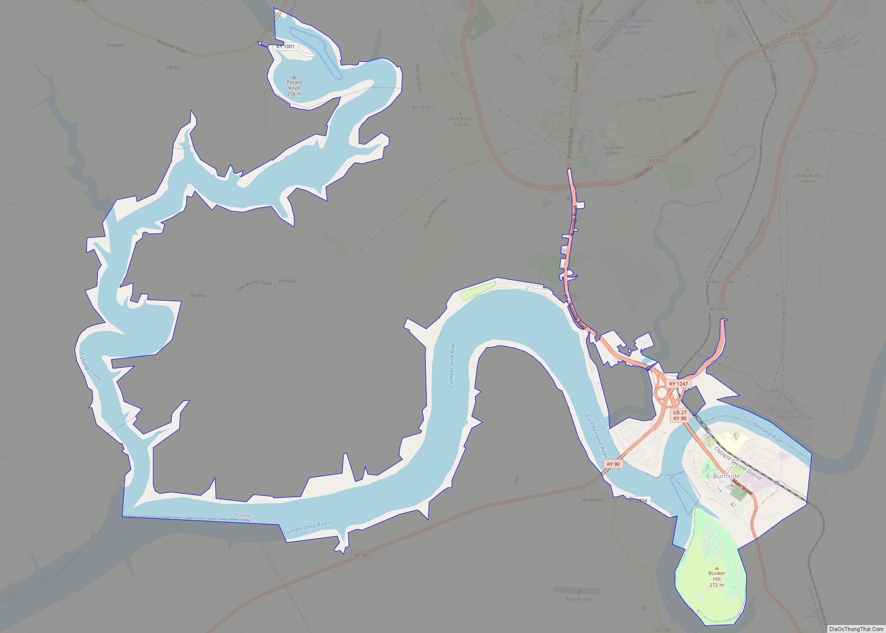
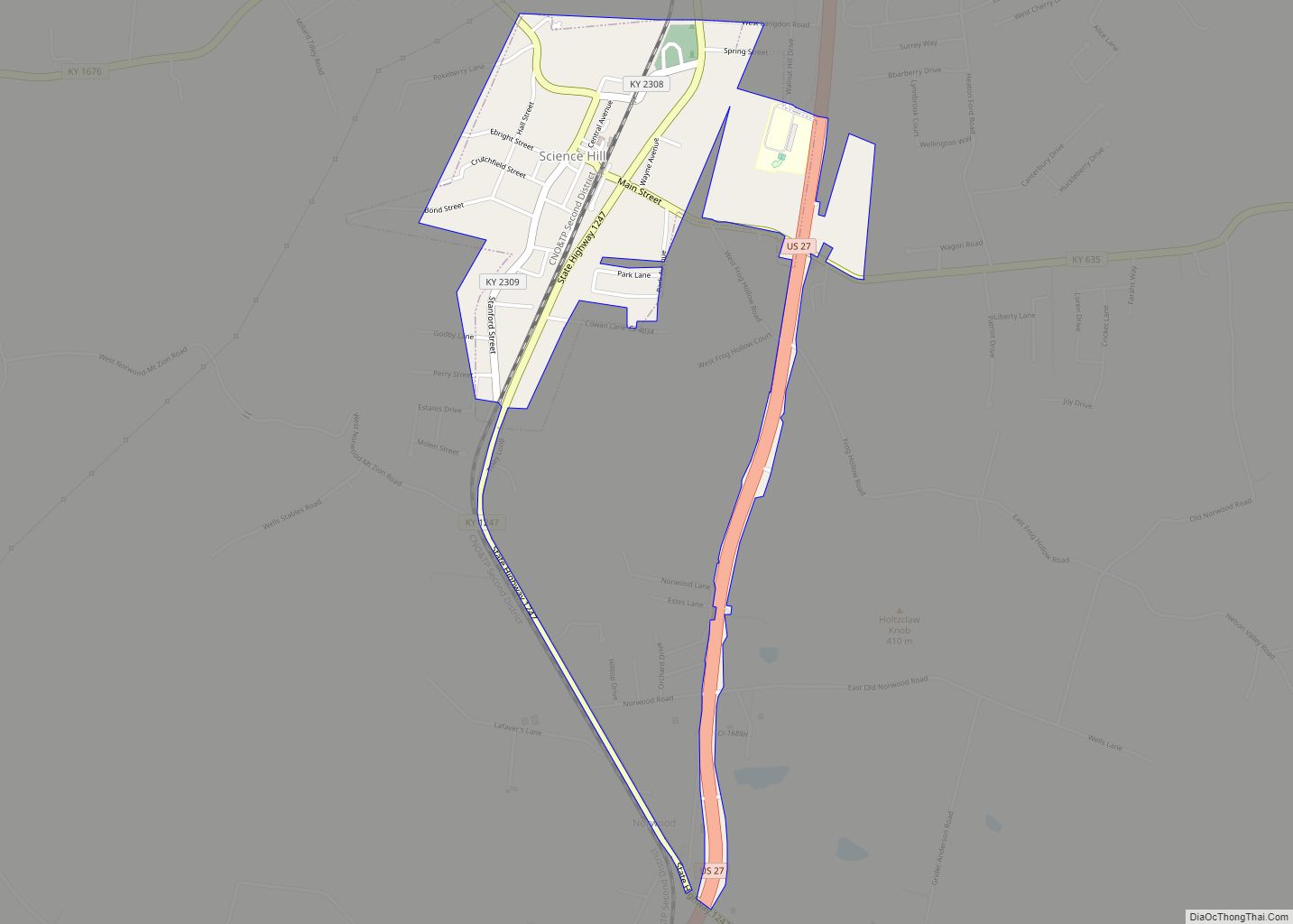
Online Interactive Map
Click on ![]() to view map in "full screen" mode.
to view map in "full screen" mode.
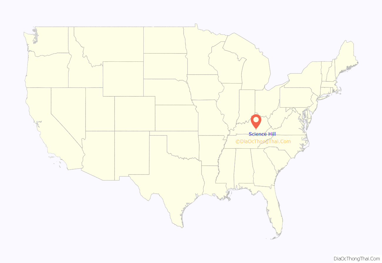
Science Hill location map. Where is Science Hill city?
History
The community was named by geologist William J. Bobbitt, who visited to gather and analyze the local rocks, and applied to the local post office by William B. Gragg in 1874.
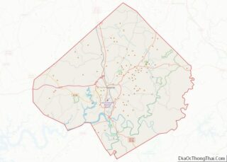
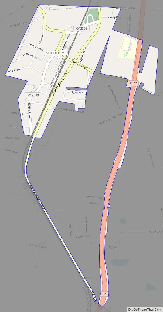
Science Hill Road Map
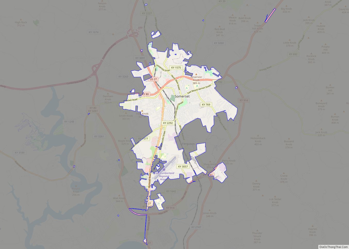
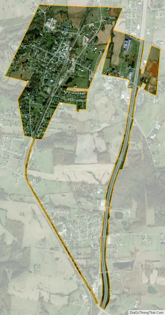
Science Hill city Satellite Map
Geography
Science Hill is located at 37°10′31″N 84°38′8″W / 37.17528°N 84.63556°W / 37.17528; -84.63556 (37.175284, -84.635654). According to the United States Census Bureau, the city has a total area of 0.6 square miles (1.6 km), all land. The city is concentrated atop a small hill along Kentucky Route 635. Kentucky Route 1247 passes through the city just east of its downtown area, and U.S. Route 27 passes along the city’s eastern border. The Big Clifty Creek Valley lies just to the west of Science Hill.
See also
Map of Kentucky State and its subdivision:- Adair
- Allen
- Anderson
- Ballard
- Barren
- Bath
- Bell
- Boone
- Bourbon
- Boyd
- Boyle
- Bracken
- Breathitt
- Breckinridge
- Bullitt
- Butler
- Caldwell
- Calloway
- Campbell
- Carlisle
- Carroll
- Carter
- Casey
- Christian
- Clark
- Clay
- Clinton
- Crittenden
- Cumberland
- Daviess
- Edmonson
- Elliott
- Estill
- Fayette
- Fleming
- Floyd
- Franklin
- Fulton
- Gallatin
- Garrard
- Grant
- Graves
- Grayson
- Green
- Greenup
- Hancock
- Hardin
- Harlan
- Harrison
- Hart
- Henderson
- Henry
- Hickman
- Hopkins
- Jackson
- Jefferson
- Jessamine
- Johnson
- Kenton
- Knott
- Knox
- Larue
- Laurel
- Lawrence
- Lee
- Leslie
- Letcher
- Lewis
- Lincoln
- Livingston
- Logan
- Lyon
- Madison
- Magoffin
- Marion
- Marshall
- Martin
- Mason
- McCracken
- McCreary
- McLean
- Meade
- Menifee
- Mercer
- Metcalfe
- Monroe
- Montgomery
- Morgan
- Muhlenberg
- Nelson
- Nicholas
- Ohio
- Oldham
- Owen
- Owsley
- Pendleton
- Perry
- Pike
- Powell
- Pulaski
- Robertson
- Rockcastle
- Rowan
- Russell
- Scott
- Shelby
- Simpson
- Spencer
- Taylor
- Todd
- Trigg
- Trimble
- Union
- Warren
- Washington
- Wayne
- Webster
- Whitley
- Wolfe
- Woodford
- Alabama
- Alaska
- Arizona
- Arkansas
- California
- Colorado
- Connecticut
- Delaware
- District of Columbia
- Florida
- Georgia
- Hawaii
- Idaho
- Illinois
- Indiana
- Iowa
- Kansas
- Kentucky
- Louisiana
- Maine
- Maryland
- Massachusetts
- Michigan
- Minnesota
- Mississippi
- Missouri
- Montana
- Nebraska
- Nevada
- New Hampshire
- New Jersey
- New Mexico
- New York
- North Carolina
- North Dakota
- Ohio
- Oklahoma
- Oregon
- Pennsylvania
- Rhode Island
- South Carolina
- South Dakota
- Tennessee
- Texas
- Utah
- Vermont
- Virginia
- Washington
- West Virginia
- Wisconsin
- Wyoming