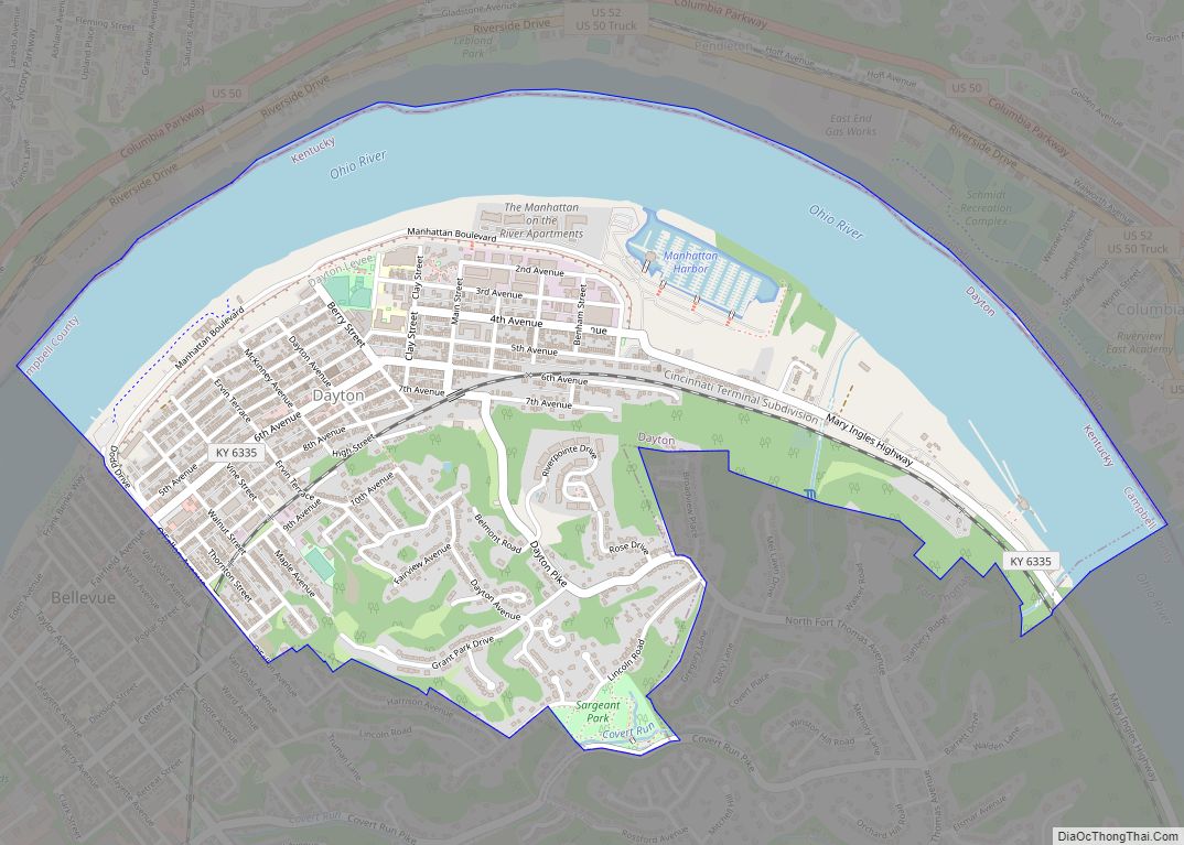
Silver Grove is a home rule-class city along the Ohio River in Campbell County, Kentucky, in the United States. The population was 1,102 during the 2010 U.S. Census.
| Name: | Silver Grove city |
|---|---|
| LSAD Code: | 25 |
| LSAD Description: | city (suffix) |
| State: | Kentucky |
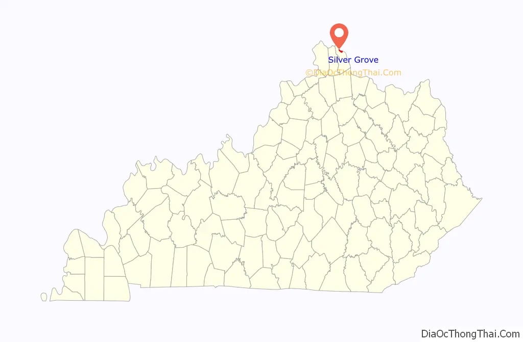
| County: | Campbell County |
| Elevation: | 495 ft (151 m) |
| Total Area: | 1.64 sq mi (4.25 km²) |
| Land Area: | 1.13 sq mi (2.93 km²) |
| Water Area: | 0.51 sq mi (1.32 km²) |
| Total Population: | 1,154 |
| Population Density: | 1,021.24/sq mi (394.13/km²) |
| ZIP code: | 41085 |
| Area code: | 859 |
| FIPS code: | 2170644 |
| GNISfeature ID: | 0503511 |
| Website: | cityofsilvergroveky.com |
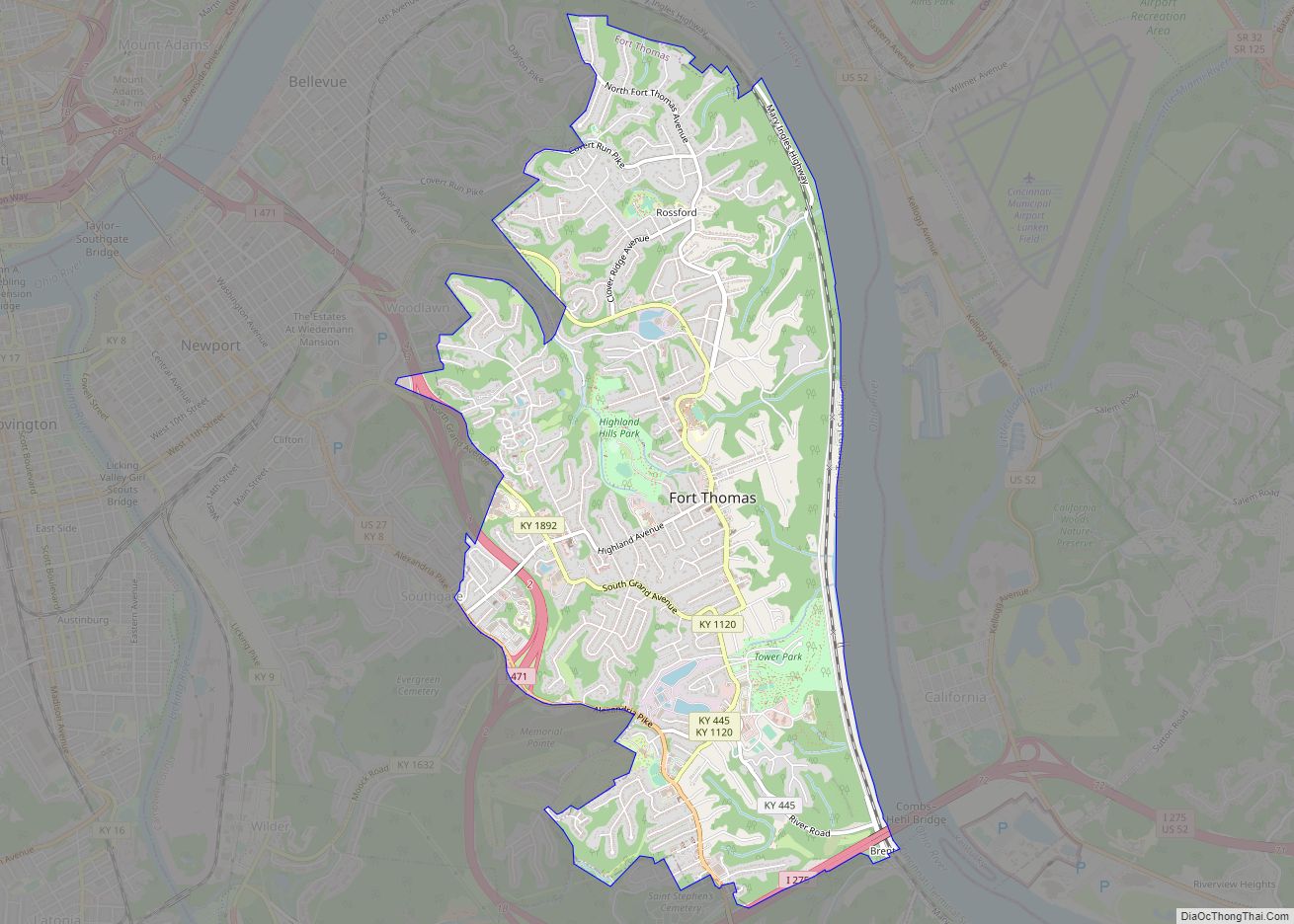
Online Interactive Map
Click on ![]() to view map in "full screen" mode.
to view map in "full screen" mode.
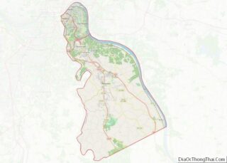
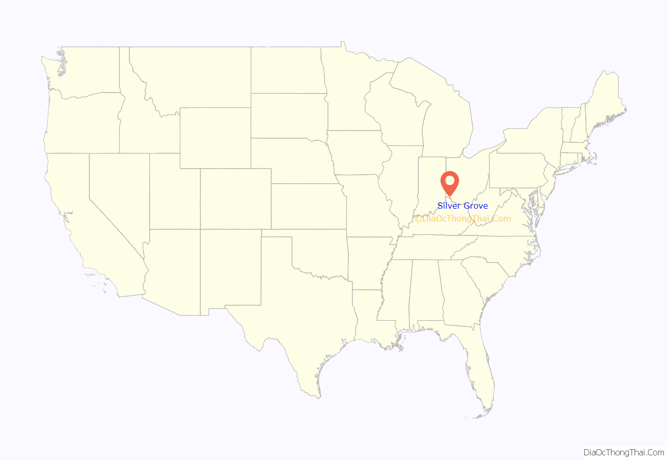
Silver Grove location map. Where is Silver Grove city?
History
Silver Grove is a railroad town founded in 1911 for the Chesapeake and Ohio Railway. In 1914, a newspaper described it as a modern town, because it boasted electric lights, an urban water and sewer system, a modernized fire department, a school, and a spacious park. In 1948, C&O wanted out of the city. In 1951, Gerald Losey was selected as the first mayor.
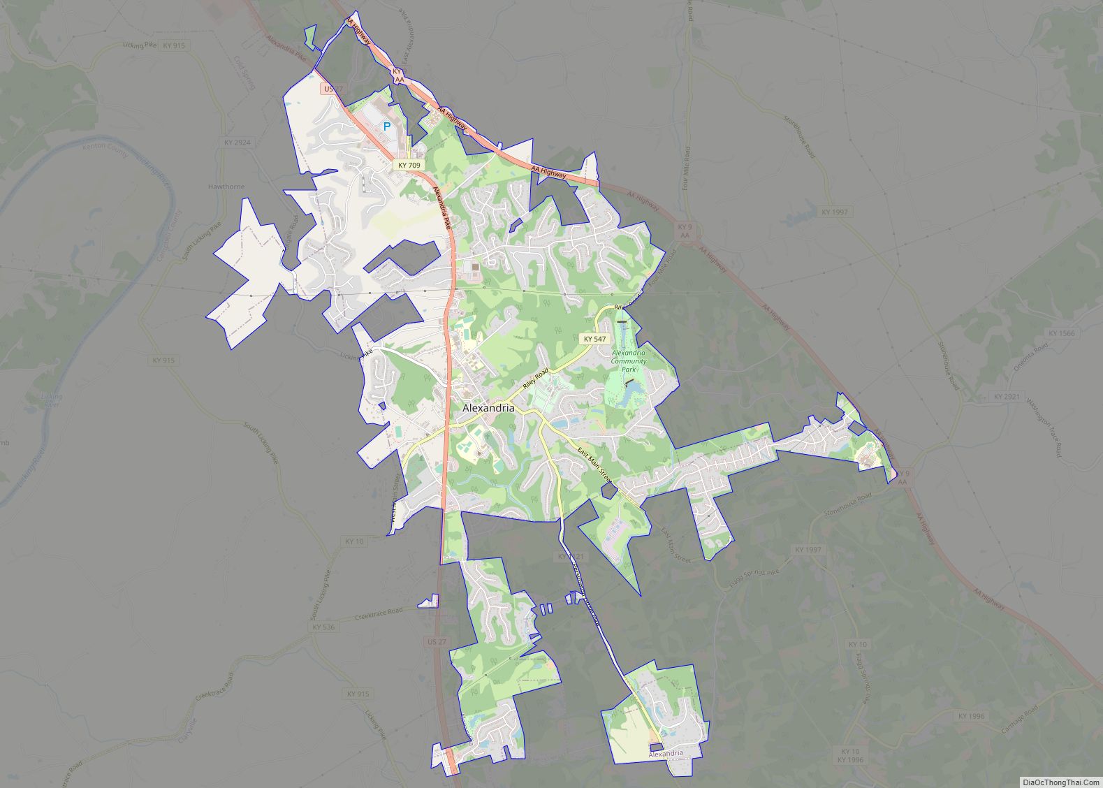
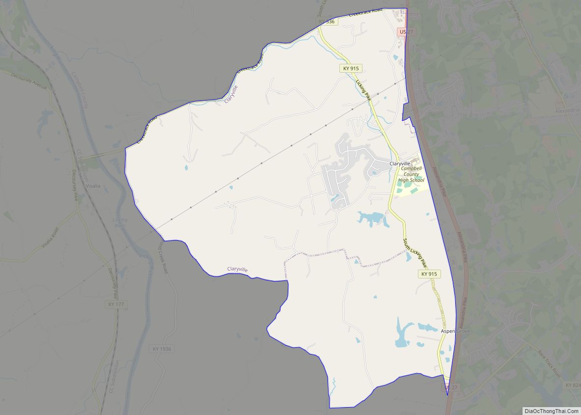
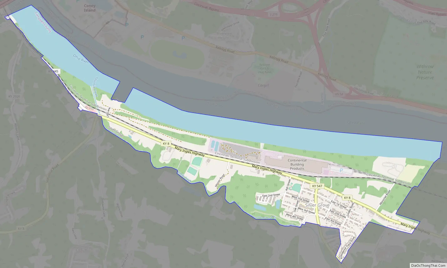
Silver Grove Road Map
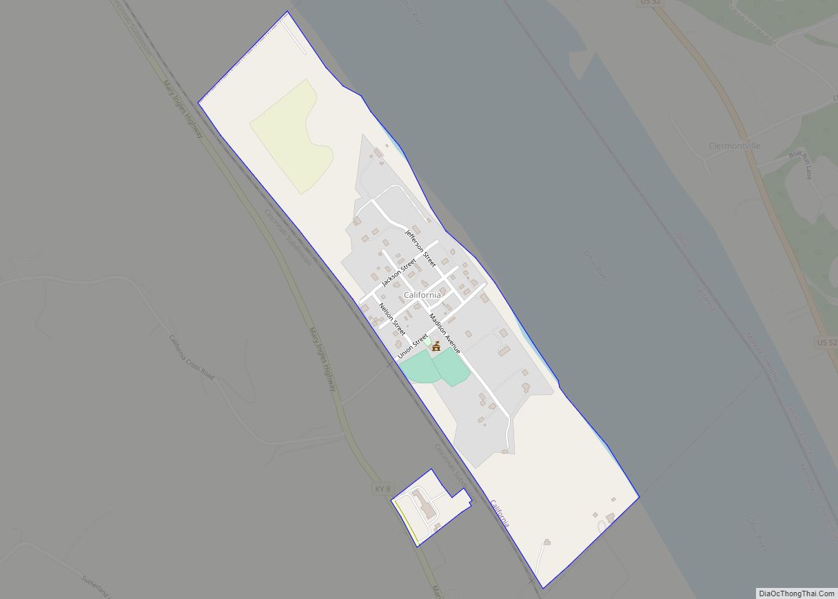
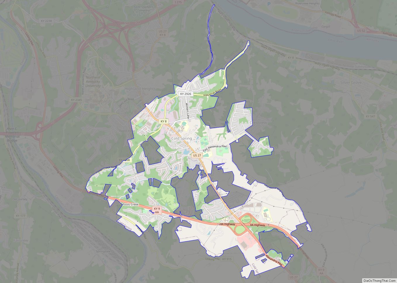
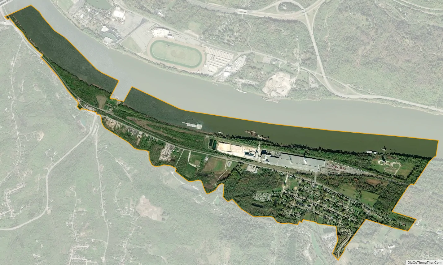
Silver Grove city Satellite Map
Geography
Silver Grove is located in northeastern Campbell County at 39°2′13″N 84°23′55″W / 39.03694°N 84.39861°W / 39.03694; -84.39861 (39.036902, −84.398652), on the south bank of the Ohio River. Kentucky Route 8 passes through the city, leading northwest (downstream) along the river 8 miles (13 km) to Dayton and southeast 32 miles (51 km) to Augusta. Downtown Cincinnati, Ohio, is 10 miles (16 km) to the northwest via Interstate 471.
According to the United States Census Bureau, Silver Grove has a total area of 1.7 square miles (4.3 km), of which 1.1 square miles (2.9 km) is land and 0.54 square miles (1.4 km), or 31.61%, is water.
See also
Map of Kentucky State and its subdivision:- Adair
- Allen
- Anderson
- Ballard
- Barren
- Bath
- Bell
- Boone
- Bourbon
- Boyd
- Boyle
- Bracken
- Breathitt
- Breckinridge
- Bullitt
- Butler
- Caldwell
- Calloway
- Campbell
- Carlisle
- Carroll
- Carter
- Casey
- Christian
- Clark
- Clay
- Clinton
- Crittenden
- Cumberland
- Daviess
- Edmonson
- Elliott
- Estill
- Fayette
- Fleming
- Floyd
- Franklin
- Fulton
- Gallatin
- Garrard
- Grant
- Graves
- Grayson
- Green
- Greenup
- Hancock
- Hardin
- Harlan
- Harrison
- Hart
- Henderson
- Henry
- Hickman
- Hopkins
- Jackson
- Jefferson
- Jessamine
- Johnson
- Kenton
- Knott
- Knox
- Larue
- Laurel
- Lawrence
- Lee
- Leslie
- Letcher
- Lewis
- Lincoln
- Livingston
- Logan
- Lyon
- Madison
- Magoffin
- Marion
- Marshall
- Martin
- Mason
- McCracken
- McCreary
- McLean
- Meade
- Menifee
- Mercer
- Metcalfe
- Monroe
- Montgomery
- Morgan
- Muhlenberg
- Nelson
- Nicholas
- Ohio
- Oldham
- Owen
- Owsley
- Pendleton
- Perry
- Pike
- Powell
- Pulaski
- Robertson
- Rockcastle
- Rowan
- Russell
- Scott
- Shelby
- Simpson
- Spencer
- Taylor
- Todd
- Trigg
- Trimble
- Union
- Warren
- Washington
- Wayne
- Webster
- Whitley
- Wolfe
- Woodford
- Alabama
- Alaska
- Arizona
- Arkansas
- California
- Colorado
- Connecticut
- Delaware
- District of Columbia
- Florida
- Georgia
- Hawaii
- Idaho
- Illinois
- Indiana
- Iowa
- Kansas
- Kentucky
- Louisiana
- Maine
- Maryland
- Massachusetts
- Michigan
- Minnesota
- Mississippi
- Missouri
- Montana
- Nebraska
- Nevada
- New Hampshire
- New Jersey
- New Mexico
- New York
- North Carolina
- North Dakota
- Ohio
- Oklahoma
- Oregon
- Pennsylvania
- Rhode Island
- South Carolina
- South Dakota
- Tennessee
- Texas
- Utah
- Vermont
- Virginia
- Washington
- West Virginia
- Wisconsin
- Wyoming