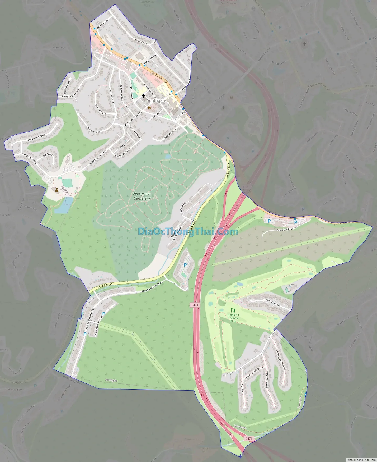
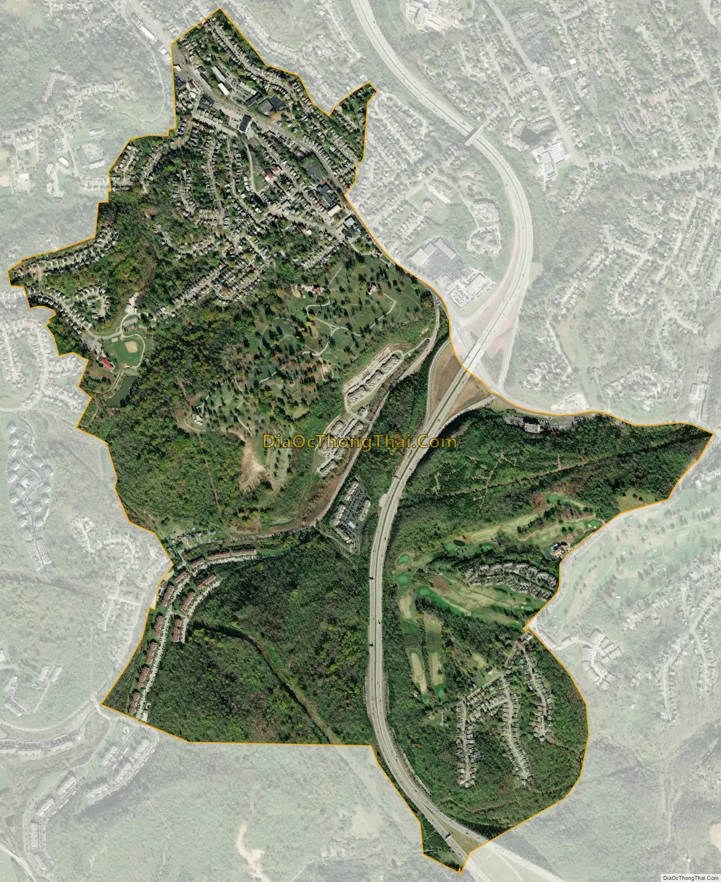
Southgate is a home rule-class city in Campbell County, Kentucky, United States. The population was 3,803 at the 2010 census.
| Name: | Southgate city |
|---|---|
| LSAD Code: | 25 |
| LSAD Description: | city (suffix) |
| State: | Kentucky |
| County: | Campbell County |
| Elevation: | 689 ft (210 m) |
| Total Area: | 1.46 sq mi (3.78 km²) |
| Land Area: | 1.46 sq mi (3.78 km²) |
| Water Area: | 0.00 sq mi (0.01 km²) |
| Total Population: | 3,648 |
| Population Density: | 2,502.06/sq mi (966.00/km²) |
| ZIP code: | 41071 |
| Area code: | 859 |
| FIPS code: | 2171976 |
| GNISfeature ID: | 0504006 |
| Website: | southgateky.org |
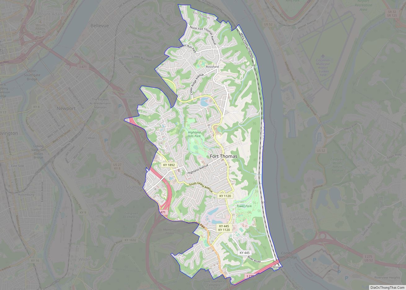
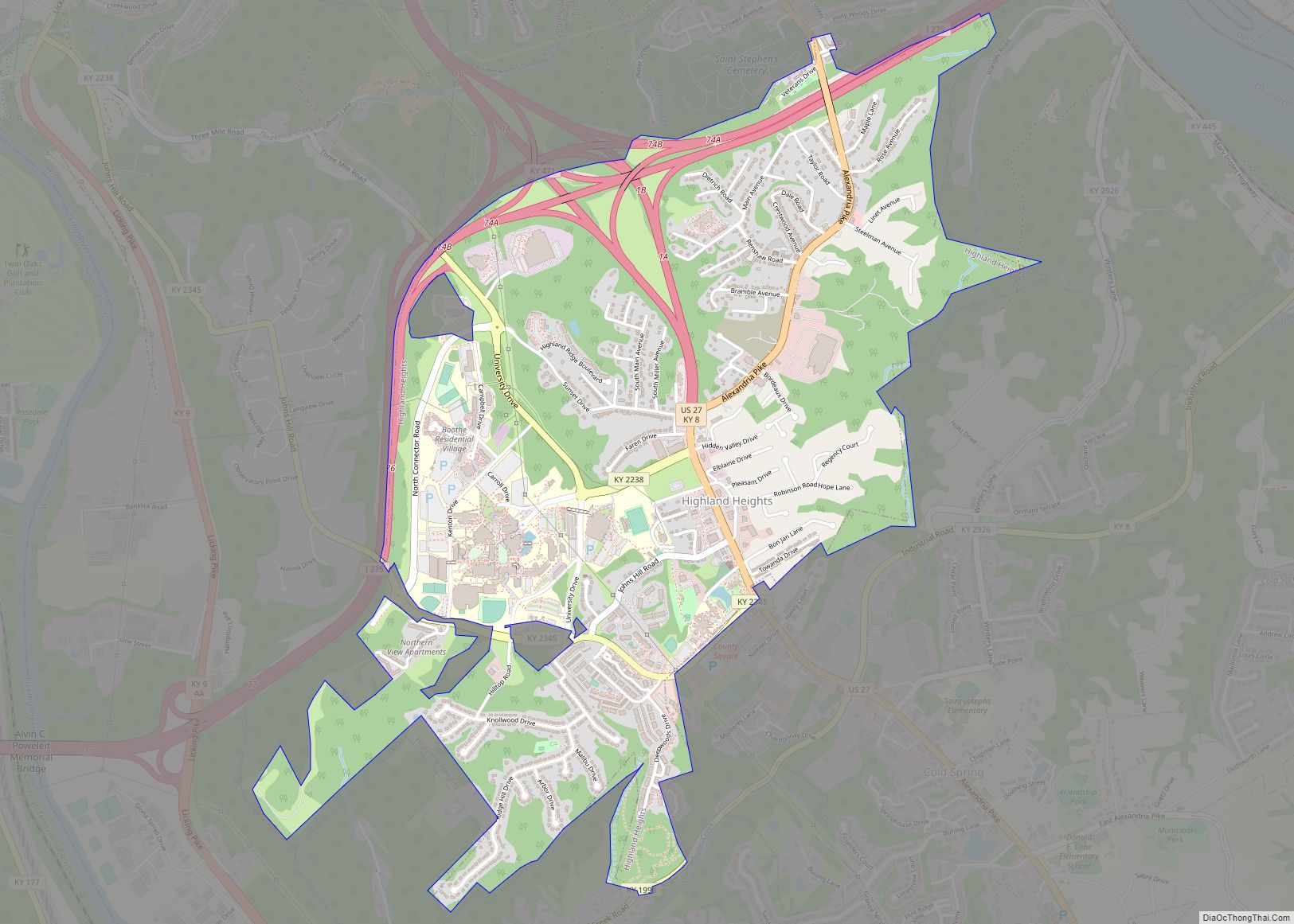
Online Interactive Map
Click on ![]() to view map in "full screen" mode.
to view map in "full screen" mode.
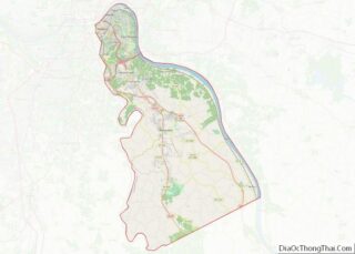
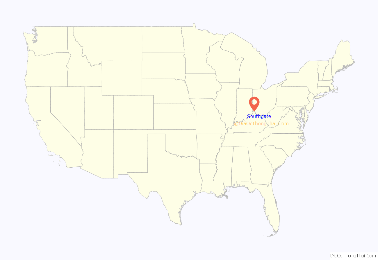
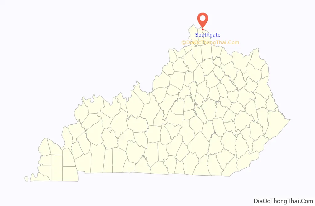
Southgate location map. Where is Southgate city?
History
The city of Southgate is named for the family of Richard Southgate. Born in New York City, Richard Southgate went to Newport from Richmond, Virginia in 1795. In October 1797, he was licensed to practice law in the court of Kentucky and appointed Commonwealth Attorney for Campbell County in 1798. He was State Representative in 1803 and Senator from 1817 to 1821. Richard died in July 1857 at the age of 83. Richard’s home still stands on Third Street in Newport. His son William was a congressman from Northern Kentucky.
On May 28, 1977, the Beverly Hills Supper Club in Southgate was engulfed in fire, killing 165 inside.
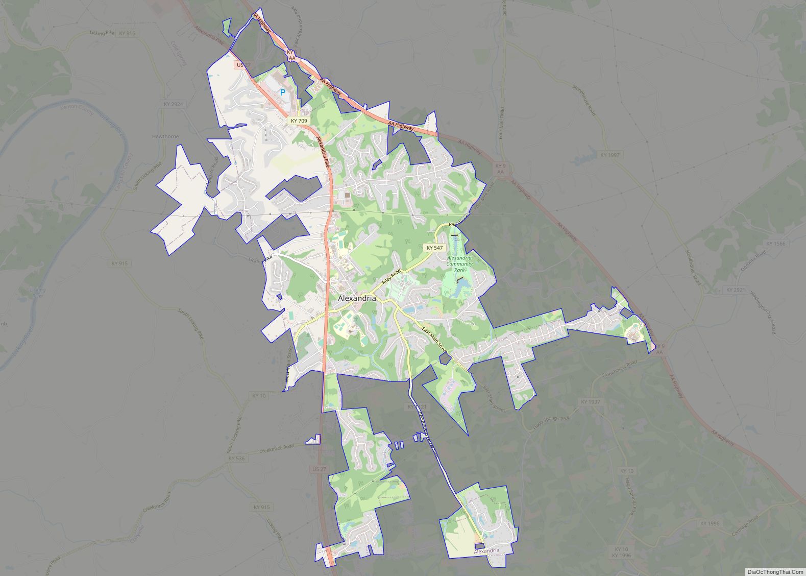
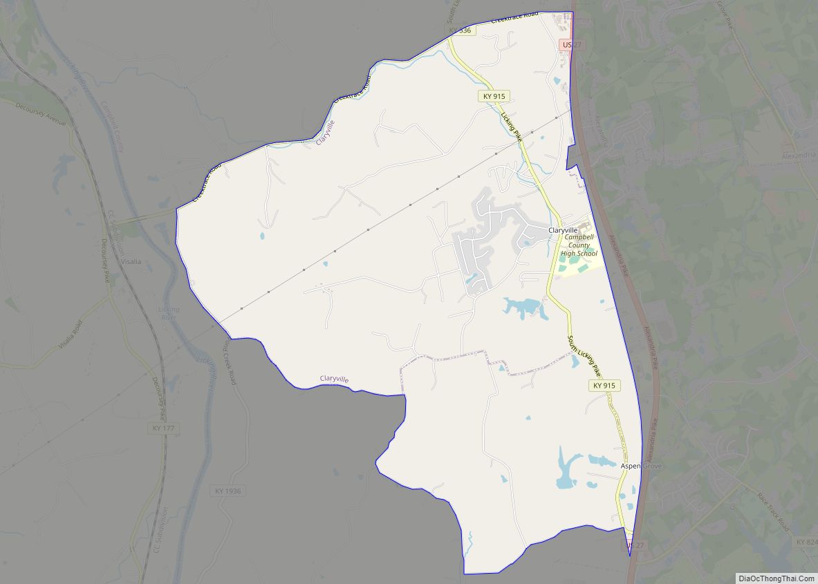
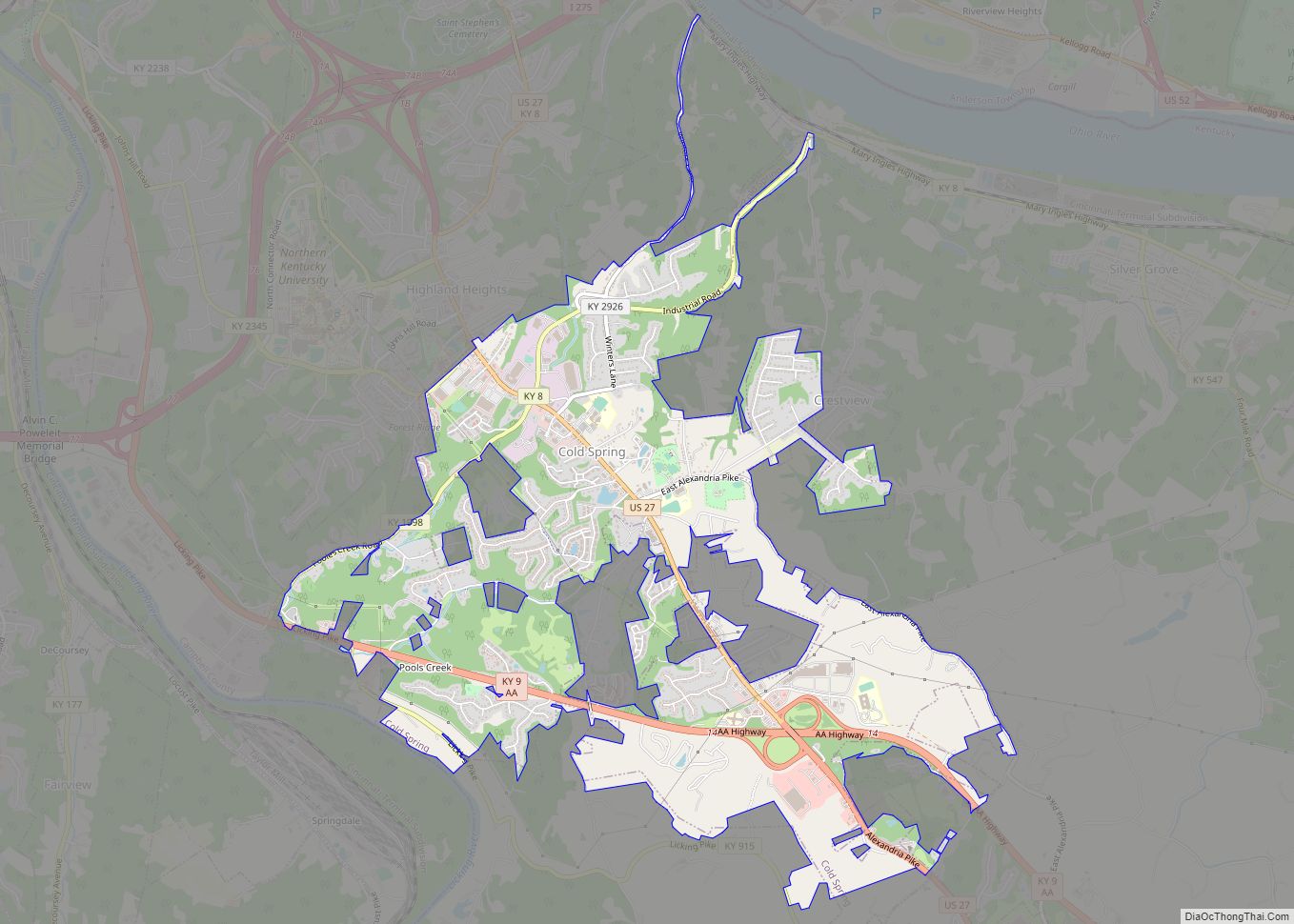
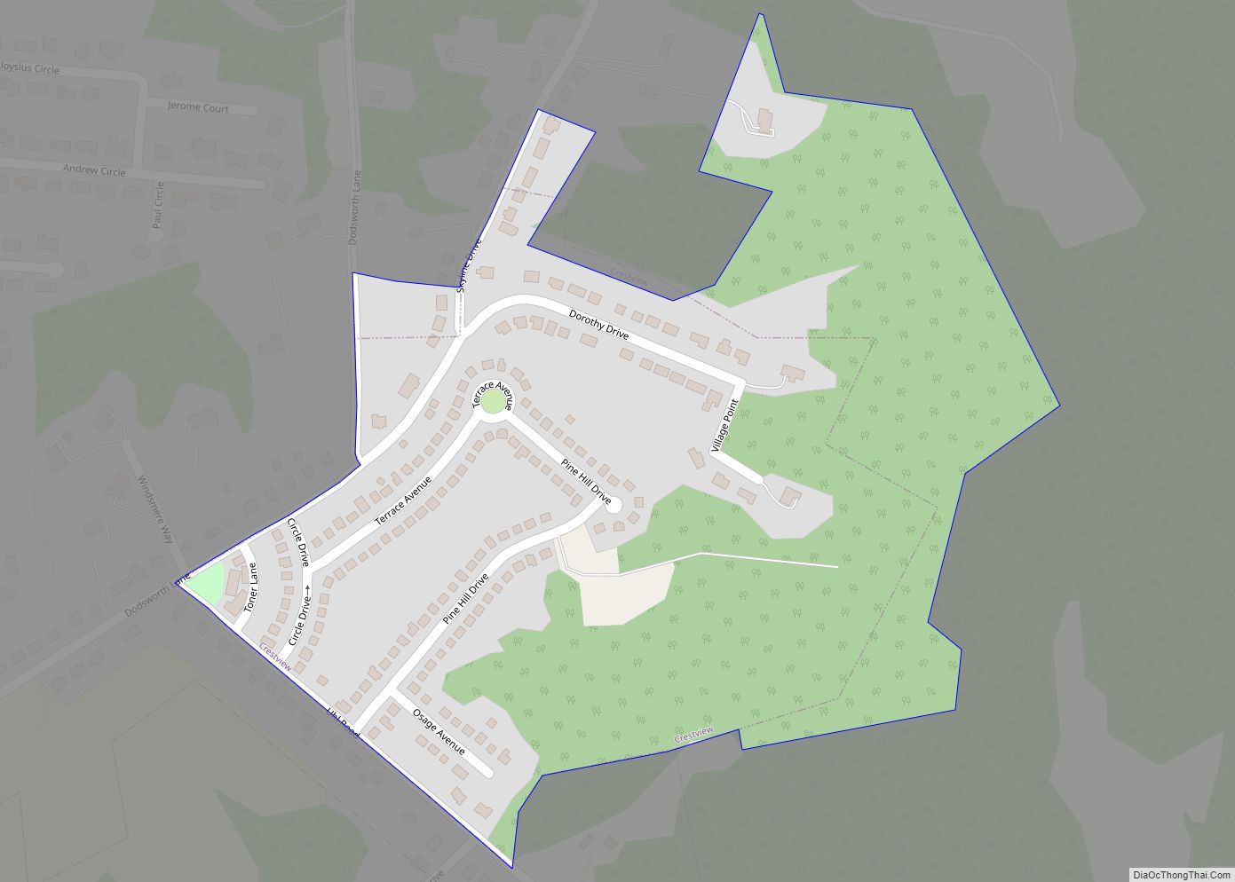
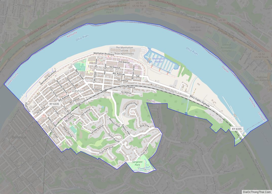
Southgate Road Map
Southgate city Satellite Map
Geography
Southgate is located at 39°3′56″N 84°28′25″W / 39.06556°N 84.47361°W / 39.06556; -84.47361 (39.065611, −84.473638).
According to the United States Census Bureau, the city has a total area of 1.4 square miles (3.6 km), all land.
See also
Map of Kentucky State and its subdivision:- Adair
- Allen
- Anderson
- Ballard
- Barren
- Bath
- Bell
- Boone
- Bourbon
- Boyd
- Boyle
- Bracken
- Breathitt
- Breckinridge
- Bullitt
- Butler
- Caldwell
- Calloway
- Campbell
- Carlisle
- Carroll
- Carter
- Casey
- Christian
- Clark
- Clay
- Clinton
- Crittenden
- Cumberland
- Daviess
- Edmonson
- Elliott
- Estill
- Fayette
- Fleming
- Floyd
- Franklin
- Fulton
- Gallatin
- Garrard
- Grant
- Graves
- Grayson
- Green
- Greenup
- Hancock
- Hardin
- Harlan
- Harrison
- Hart
- Henderson
- Henry
- Hickman
- Hopkins
- Jackson
- Jefferson
- Jessamine
- Johnson
- Kenton
- Knott
- Knox
- Larue
- Laurel
- Lawrence
- Lee
- Leslie
- Letcher
- Lewis
- Lincoln
- Livingston
- Logan
- Lyon
- Madison
- Magoffin
- Marion
- Marshall
- Martin
- Mason
- McCracken
- McCreary
- McLean
- Meade
- Menifee
- Mercer
- Metcalfe
- Monroe
- Montgomery
- Morgan
- Muhlenberg
- Nelson
- Nicholas
- Ohio
- Oldham
- Owen
- Owsley
- Pendleton
- Perry
- Pike
- Powell
- Pulaski
- Robertson
- Rockcastle
- Rowan
- Russell
- Scott
- Shelby
- Simpson
- Spencer
- Taylor
- Todd
- Trigg
- Trimble
- Union
- Warren
- Washington
- Wayne
- Webster
- Whitley
- Wolfe
- Woodford
- Alabama
- Alaska
- Arizona
- Arkansas
- California
- Colorado
- Connecticut
- Delaware
- District of Columbia
- Florida
- Georgia
- Hawaii
- Idaho
- Illinois
- Indiana
- Iowa
- Kansas
- Kentucky
- Louisiana
- Maine
- Maryland
- Massachusetts
- Michigan
- Minnesota
- Mississippi
- Missouri
- Montana
- Nebraska
- Nevada
- New Hampshire
- New Jersey
- New Mexico
- New York
- North Carolina
- North Dakota
- Ohio
- Oklahoma
- Oregon
- Pennsylvania
- Rhode Island
- South Carolina
- South Dakota
- Tennessee
- Texas
- Utah
- Vermont
- Virginia
- Washington
- West Virginia
- Wisconsin
- Wyoming