Stamping Ground is a home rule-class city in Scott County, Kentucky, United States. The population was 643 at the 2010 census. It is part of the Lexington–Fayette Metropolitan Statistical Area.
| Name: | Stamping Ground city |
|---|---|
| LSAD Code: | 25 |
| LSAD Description: | city (suffix) |
| State: | Kentucky |
| County: | Scott County |
| Elevation: | 794 ft (242 m) |
| Total Area: | 0.59 sq mi (1.54 km²) |
| Land Area: | 0.59 sq mi (1.52 km²) |
| Water Area: | 0.01 sq mi (0.01 km²) |
| Total Population: | 780 |
| Population Density: | 1,326.53/sq mi (512.44/km²) |
| ZIP code: | 40379 |
| Area code: | 502 |
| FIPS code: | 2173038 |
| GNISfeature ID: | 0504248 |
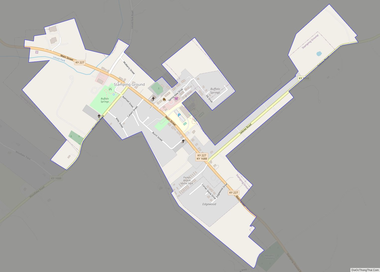
Online Interactive Map
Click on ![]() to view map in "full screen" mode.
to view map in "full screen" mode.
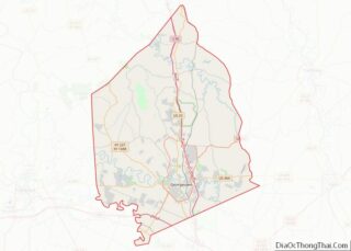
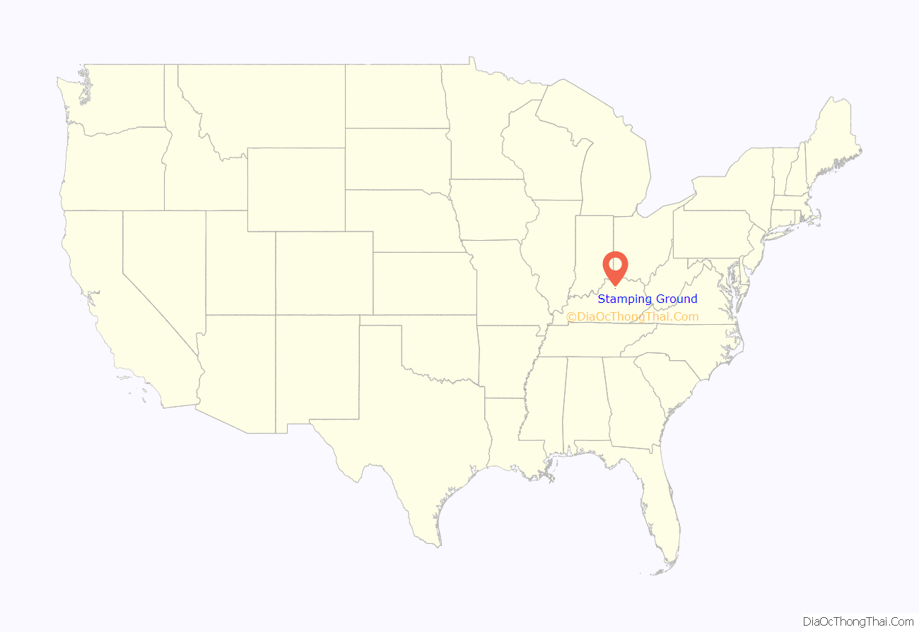
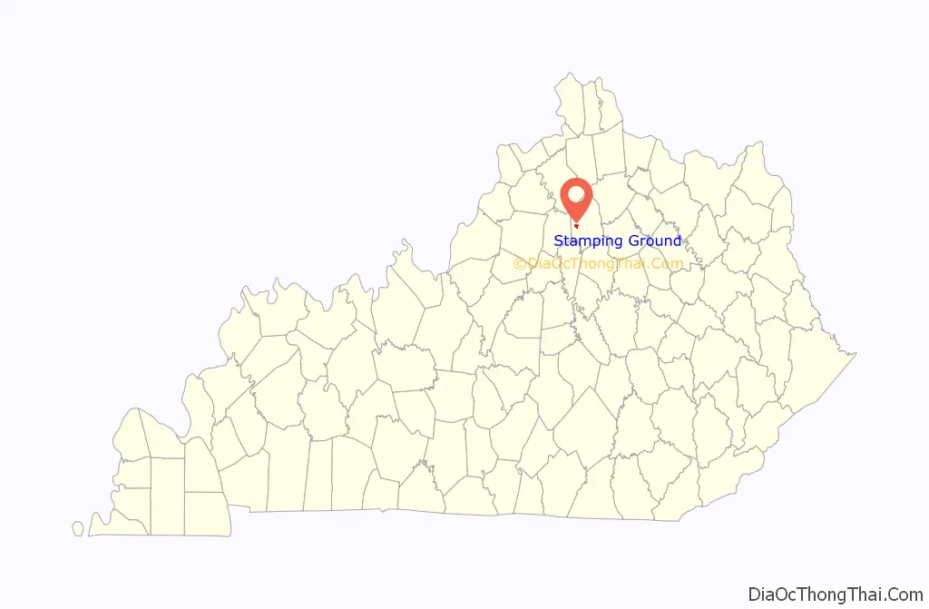
Stamping Ground location map. Where is Stamping Ground city?
History
It was named for the activity of herds of bison in the area. The town was established in 1817 and named Herndonsville for the local Herndon family. In 1834 the name was changed to Stamping Ground. A Stamping Ground post office operated for a short time in 1816. The Herndonsville post office operated from 1823 until 1834, when it was renamed Stamping Ground.
Stamping Ground Road Map
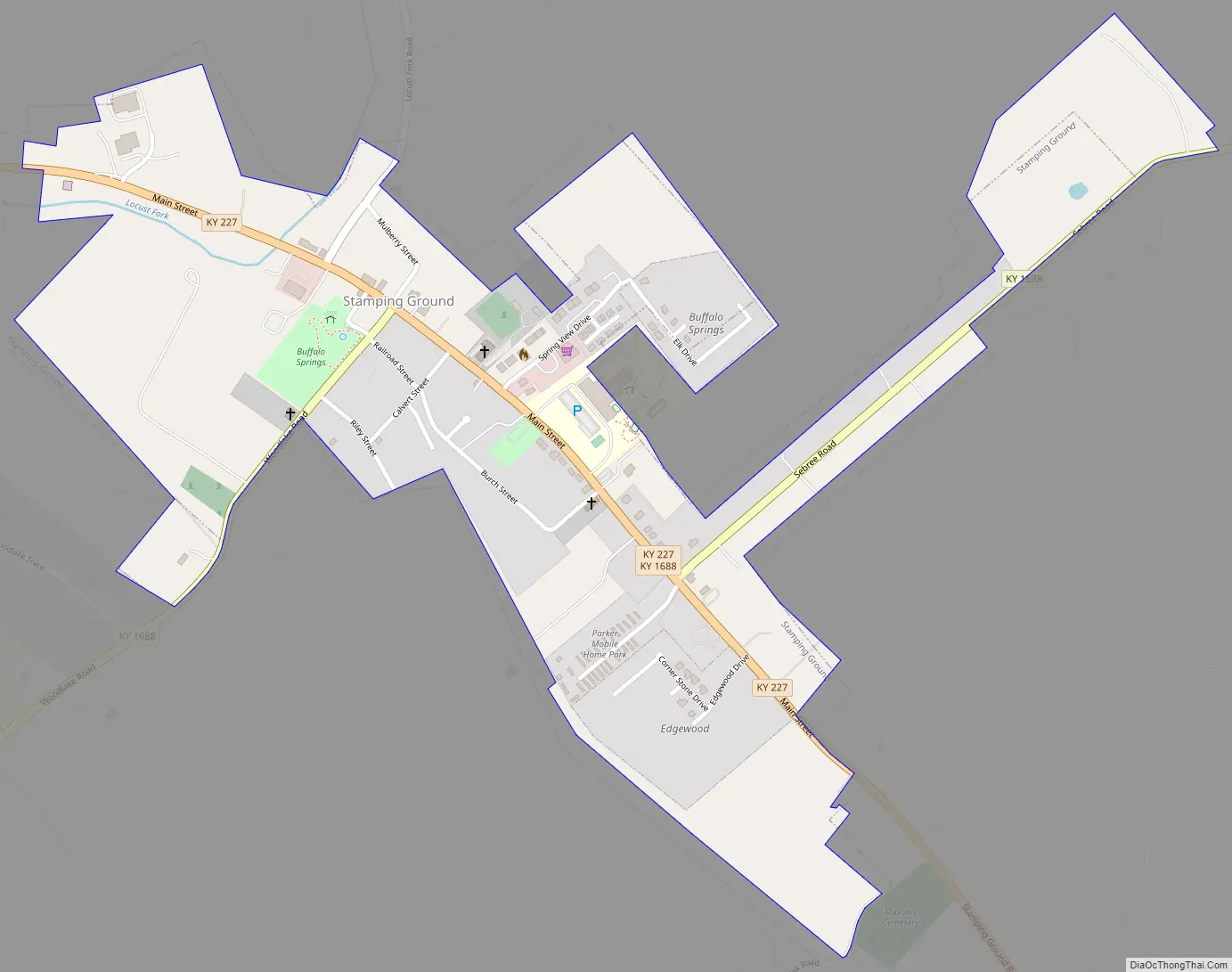
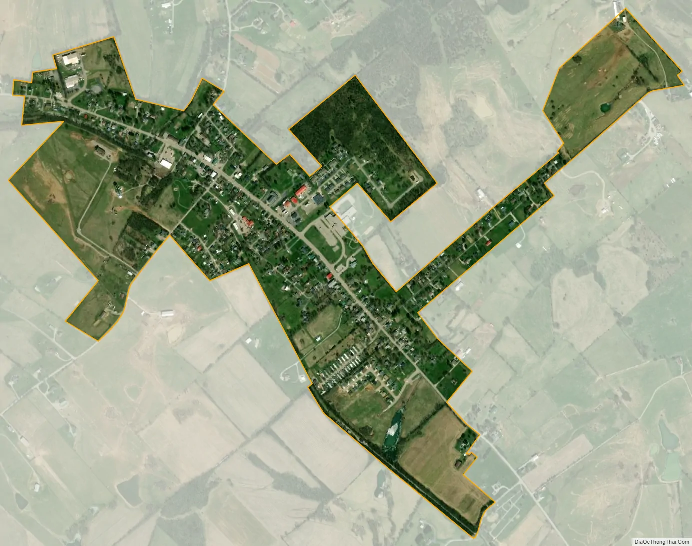
Stamping Ground city Satellite Map
Geography
Stamping Ground is located at 38°16′18″N 84°41′04″W / 38.271772°N 84.684402°W / 38.271772; -84.684402.
According to the United States Census Bureau, the city has a total area of 0.6 square mile (1.7 km), all land.
See also
Map of Kentucky State and its subdivision:- Adair
- Allen
- Anderson
- Ballard
- Barren
- Bath
- Bell
- Boone
- Bourbon
- Boyd
- Boyle
- Bracken
- Breathitt
- Breckinridge
- Bullitt
- Butler
- Caldwell
- Calloway
- Campbell
- Carlisle
- Carroll
- Carter
- Casey
- Christian
- Clark
- Clay
- Clinton
- Crittenden
- Cumberland
- Daviess
- Edmonson
- Elliott
- Estill
- Fayette
- Fleming
- Floyd
- Franklin
- Fulton
- Gallatin
- Garrard
- Grant
- Graves
- Grayson
- Green
- Greenup
- Hancock
- Hardin
- Harlan
- Harrison
- Hart
- Henderson
- Henry
- Hickman
- Hopkins
- Jackson
- Jefferson
- Jessamine
- Johnson
- Kenton
- Knott
- Knox
- Larue
- Laurel
- Lawrence
- Lee
- Leslie
- Letcher
- Lewis
- Lincoln
- Livingston
- Logan
- Lyon
- Madison
- Magoffin
- Marion
- Marshall
- Martin
- Mason
- McCracken
- McCreary
- McLean
- Meade
- Menifee
- Mercer
- Metcalfe
- Monroe
- Montgomery
- Morgan
- Muhlenberg
- Nelson
- Nicholas
- Ohio
- Oldham
- Owen
- Owsley
- Pendleton
- Perry
- Pike
- Powell
- Pulaski
- Robertson
- Rockcastle
- Rowan
- Russell
- Scott
- Shelby
- Simpson
- Spencer
- Taylor
- Todd
- Trigg
- Trimble
- Union
- Warren
- Washington
- Wayne
- Webster
- Whitley
- Wolfe
- Woodford
- Alabama
- Alaska
- Arizona
- Arkansas
- California
- Colorado
- Connecticut
- Delaware
- District of Columbia
- Florida
- Georgia
- Hawaii
- Idaho
- Illinois
- Indiana
- Iowa
- Kansas
- Kentucky
- Louisiana
- Maine
- Maryland
- Massachusetts
- Michigan
- Minnesota
- Mississippi
- Missouri
- Montana
- Nebraska
- Nevada
- New Hampshire
- New Jersey
- New Mexico
- New York
- North Carolina
- North Dakota
- Ohio
- Oklahoma
- Oregon
- Pennsylvania
- Rhode Island
- South Carolina
- South Dakota
- Tennessee
- Texas
- Utah
- Vermont
- Virginia
- Washington
- West Virginia
- Wisconsin
- Wyoming