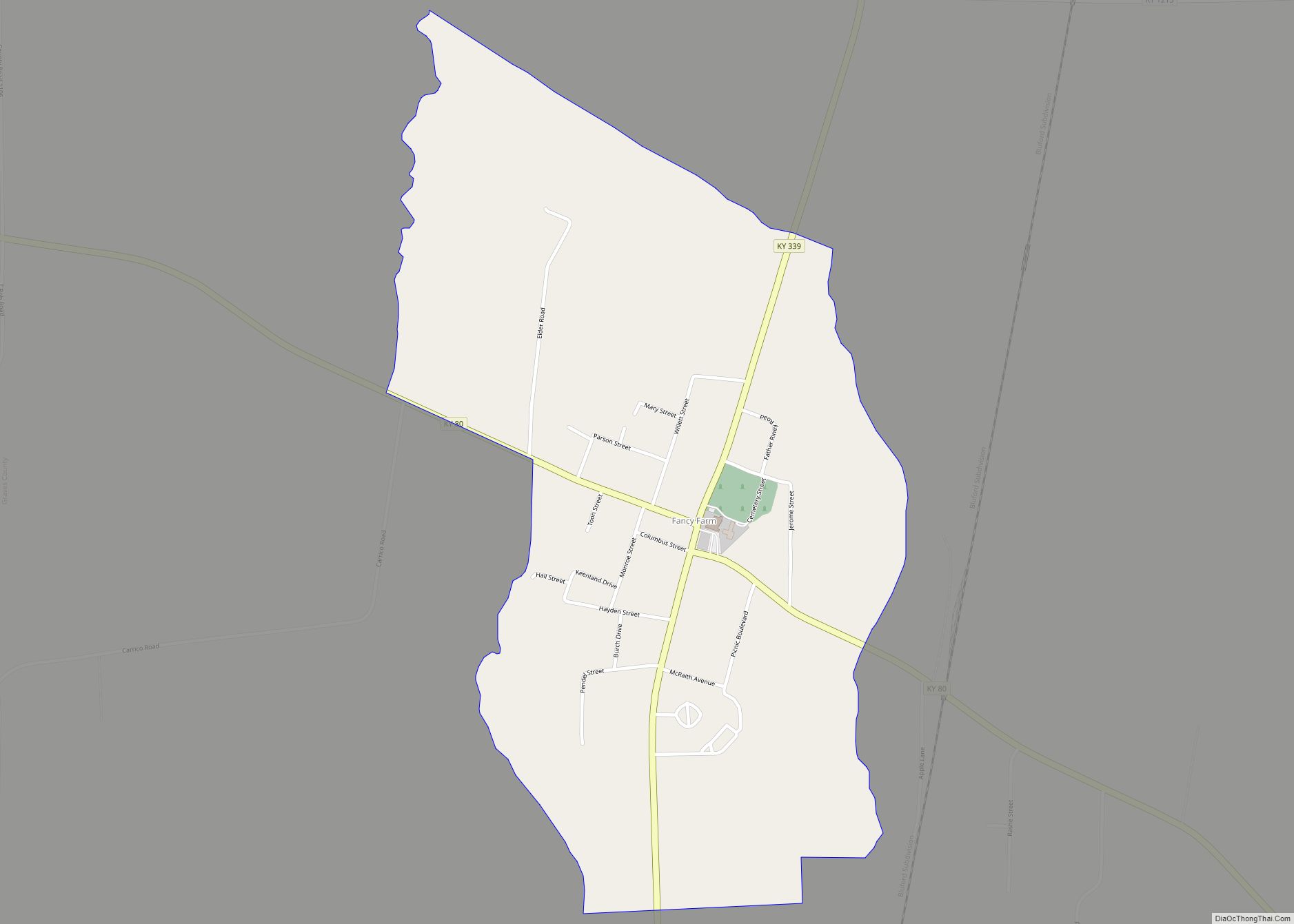
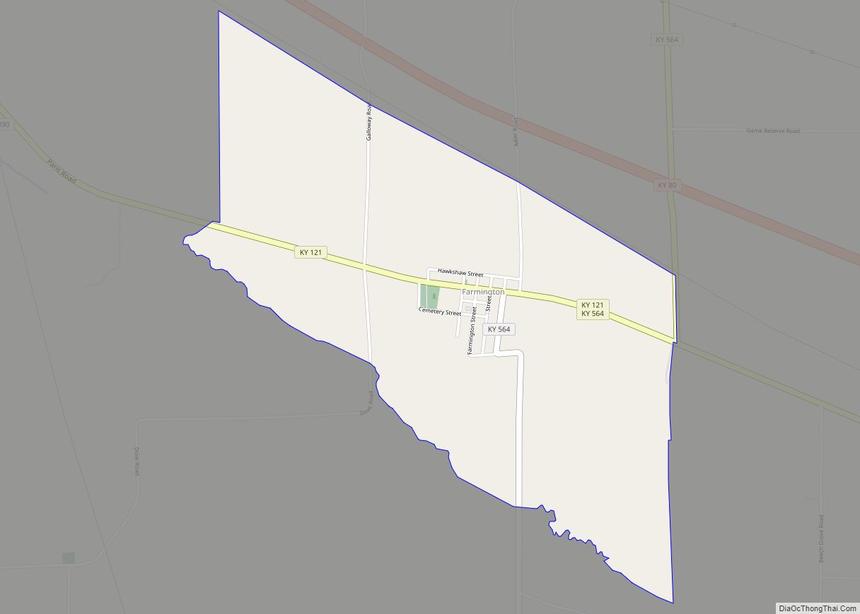
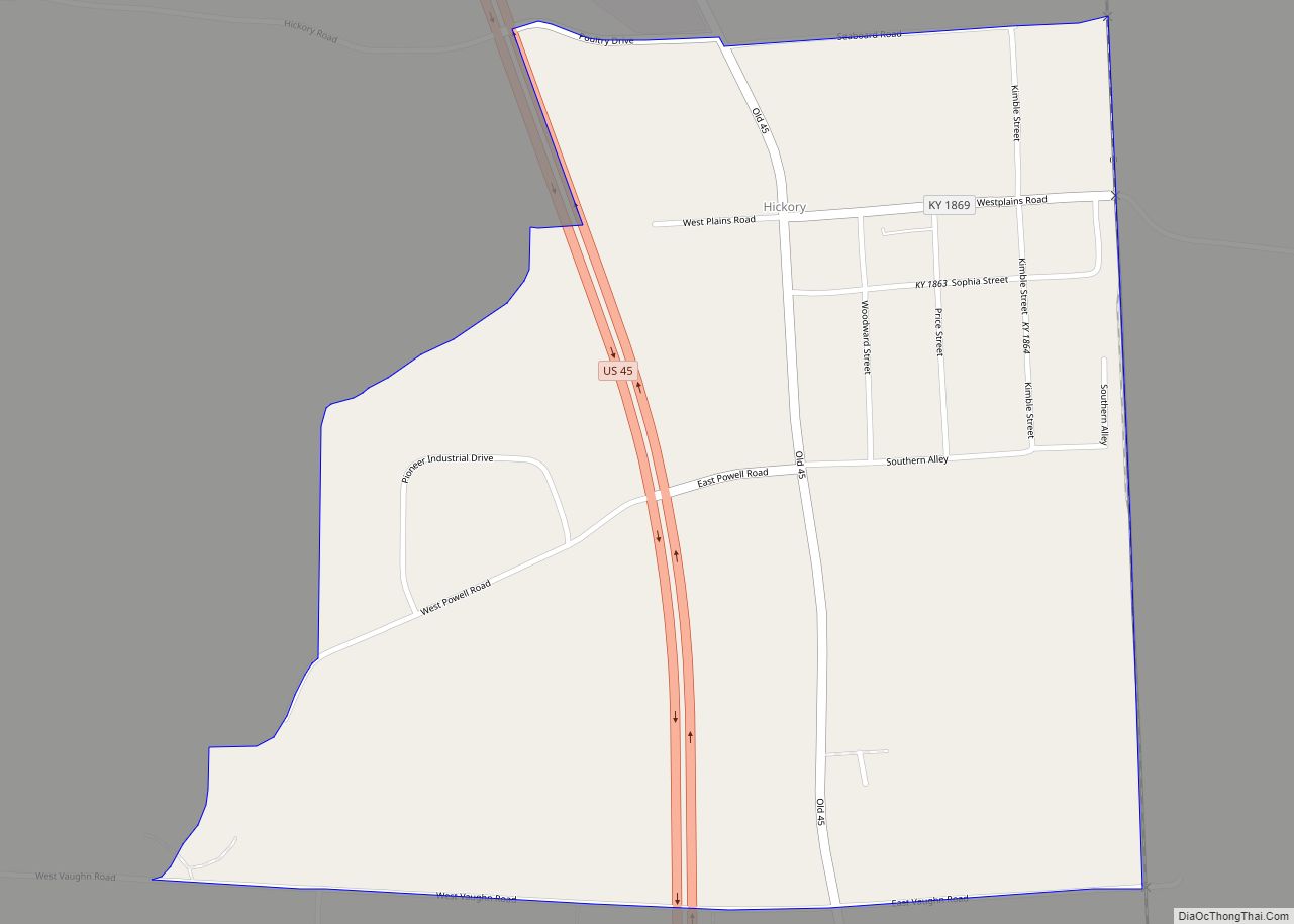
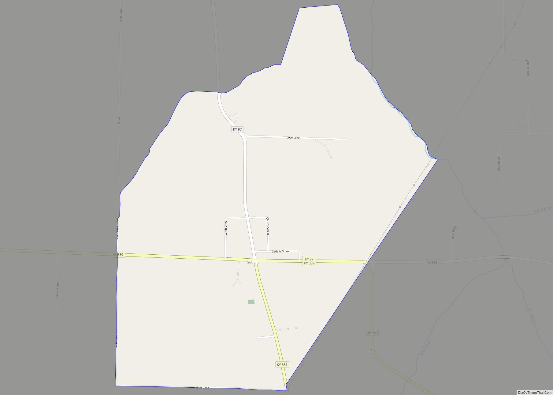
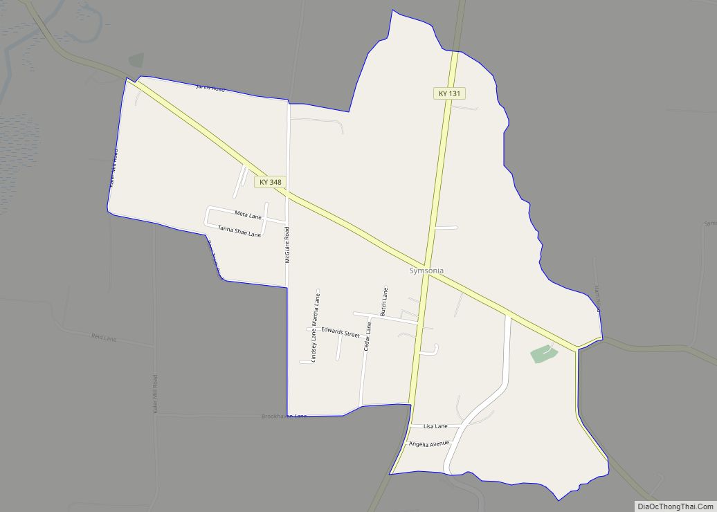
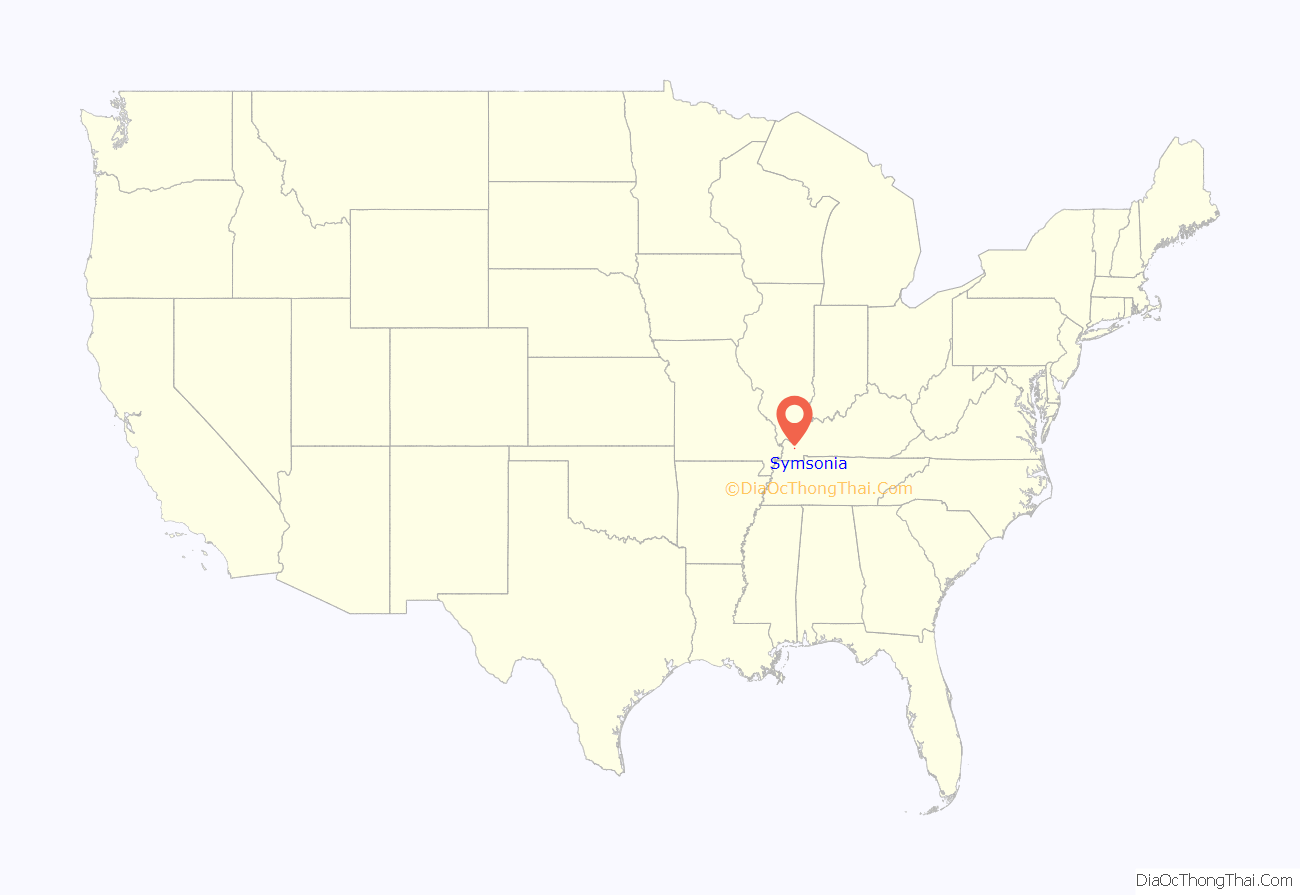
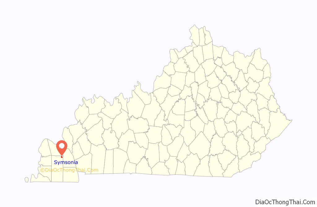
Symsonia is an unincorporated community and census-designated place (CDP) in Graves County, Kentucky, United States. The community lies in the far northeastern part of the county, 13 miles (21 km) southeast of Paducah, 11 miles (18 km) northwest of Benton, and 15 miles (24 km) northeast of the county seat Mayfield, in the Jackson Purchase region of the state. As of the 2010 census, the population of Symsonia was 615.
| Name: | Symsonia CDP |
|---|---|
| LSAD Code: | 57 |
| LSAD Description: | CDP (suffix) |
| State: | Kentucky |
| County: | Graves County |
| Elevation: | 410 ft (120 m) |
| Total Area: | 1.53 sq mi (3.96 km²) |
| Land Area: | 1.52 sq mi (3.93 km²) |
| Water Area: | 0.01 sq mi (0.02 km²) |
| Total Population: | 622 |
| Population Density: | 409.48/sq mi (158.09/km²) |
| ZIP code: | 42082 |
| Area code: | 270 & 364 |
| FIPS code: | 2175270 |
| GNISfeature ID: | 2629690 |
Online Interactive Map
Click on ![]() to view map in "full screen" mode.
to view map in "full screen" mode.
Symsonia location map. Where is Symsonia CDP?
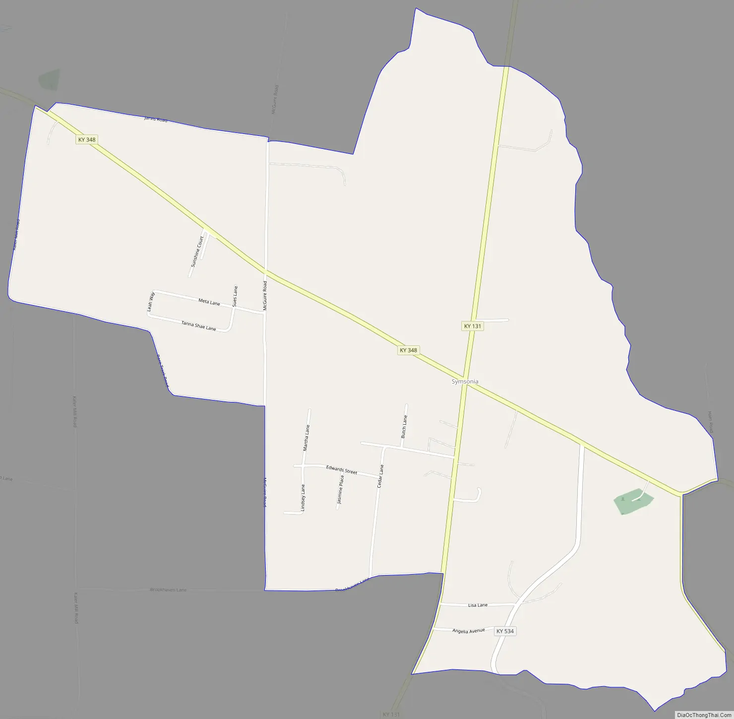
Symsonia Road Map
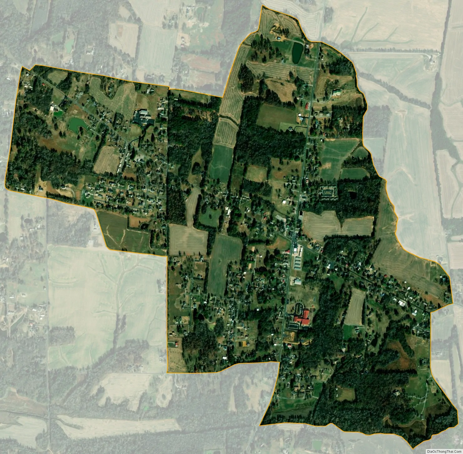
Symsonia city Satellite Map
Geography
The Symsonia CDP has a total area of 1.5 square miles (4.0 km), of which 0.01 square miles (0.02 km), or 0.01 square miles (0.02 km), or 0.56%, is water. The community is located at the intersection of Kentucky Highways 131 and 348. The intersection contains the community’s only four-way stop and only flashing red light. It lies at an elevation of 407 feet (124 m) above sea level and is between the East and West Forks of the Clarks River, a major tributary of the Tennessee River.
See also
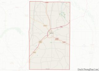
Map of Kentucky State and its subdivision:- Adair
- Allen
- Anderson
- Ballard
- Barren
- Bath
- Bell
- Boone
- Bourbon
- Boyd
- Boyle
- Bracken
- Breathitt
- Breckinridge
- Bullitt
- Butler
- Caldwell
- Calloway
- Campbell
- Carlisle
- Carroll
- Carter
- Casey
- Christian
- Clark
- Clay
- Clinton
- Crittenden
- Cumberland
- Daviess
- Edmonson
- Elliott
- Estill
- Fayette
- Fleming
- Floyd
- Franklin
- Fulton
- Gallatin
- Garrard
- Grant
- Graves
- Grayson
- Green
- Greenup
- Hancock
- Hardin
- Harlan
- Harrison
- Hart
- Henderson
- Henry
- Hickman
- Hopkins
- Jackson
- Jefferson
- Jessamine
- Johnson
- Kenton
- Knott
- Knox
- Larue
- Laurel
- Lawrence
- Lee
- Leslie
- Letcher
- Lewis
- Lincoln
- Livingston
- Logan
- Lyon
- Madison
- Magoffin
- Marion
- Marshall
- Martin
- Mason
- McCracken
- McCreary
- McLean
- Meade
- Menifee
- Mercer
- Metcalfe
- Monroe
- Montgomery
- Morgan
- Muhlenberg
- Nelson
- Nicholas
- Ohio
- Oldham
- Owen
- Owsley
- Pendleton
- Perry
- Pike
- Powell
- Pulaski
- Robertson
- Rockcastle
- Rowan
- Russell
- Scott
- Shelby
- Simpson
- Spencer
- Taylor
- Todd
- Trigg
- Trimble
- Union
- Warren
- Washington
- Wayne
- Webster
- Whitley
- Wolfe
- Woodford
- Alabama
- Alaska
- Arizona
- Arkansas
- California
- Colorado
- Connecticut
- Delaware
- District of Columbia
- Florida
- Georgia
- Hawaii
- Idaho
- Illinois
- Indiana
- Iowa
- Kansas
- Kentucky
- Louisiana
- Maine
- Maryland
- Massachusetts
- Michigan
- Minnesota
- Mississippi
- Missouri
- Montana
- Nebraska
- Nevada
- New Hampshire
- New Jersey
- New Mexico
- New York
- North Carolina
- North Dakota
- Ohio
- Oklahoma
- Oregon
- Pennsylvania
- Rhode Island
- South Carolina
- South Dakota
- Tennessee
- Texas
- Utah
- Vermont
- Virginia
- Washington
- West Virginia
- Wisconsin
- Wyoming