West Buechel is a home rule-class city in Jefferson County, Kentucky, United States. The population was 1,230 at the 2010 census, down from 1,301 at the 2000 census.
| Name: | West Buechel city |
|---|---|
| LSAD Code: | 25 |
| LSAD Description: | city (suffix) |
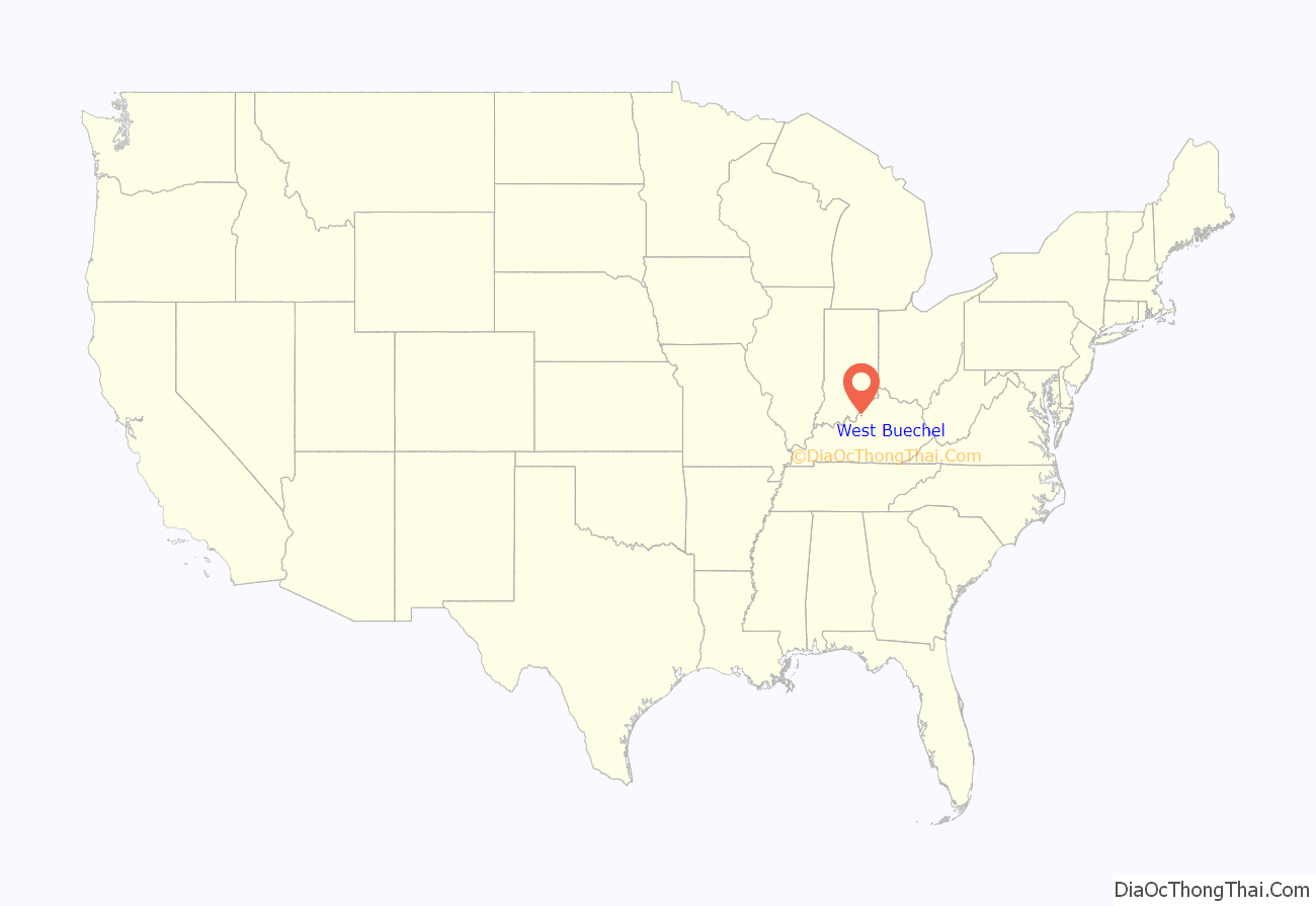
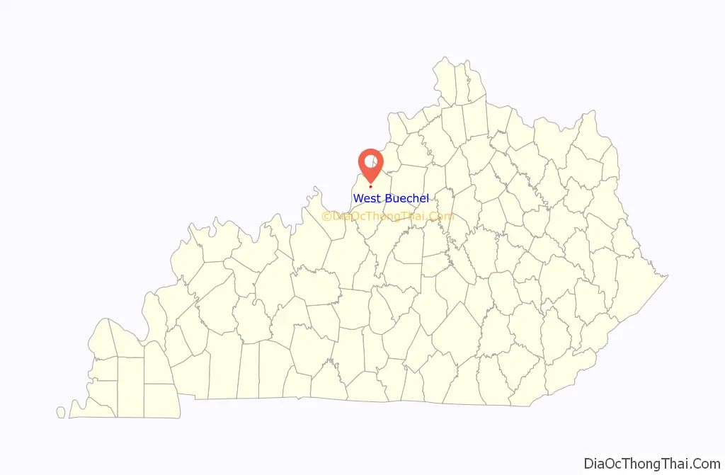
| State: | Kentucky |
| County: | Jefferson County |
| Elevation: | 479 ft (146 m) |
| Total Area: | 0.65 sq mi (1.68 km²) |
| Land Area: | 0.64 sq mi (1.66 km²) |
| Water Area: | 0.01 sq mi (0.02 km²) |
| Total Population: | 1,370 |
| Population Density: | 2,143.97/sq mi (827.30/km²) |
| ZIP code: | 40218 |
| Area code: | 502 |
| FIPS code: | 2181624 |
| GNISfeature ID: | 0506409 |
| Website: | www.westbuechelky.gov |
Online Interactive Map
Click on ![]() to view map in "full screen" mode.
to view map in "full screen" mode.
West Buechel location map. Where is West Buechel city?
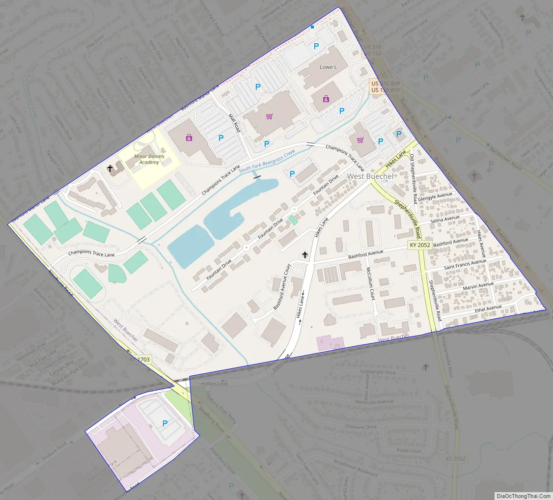
West Buechel Road Map
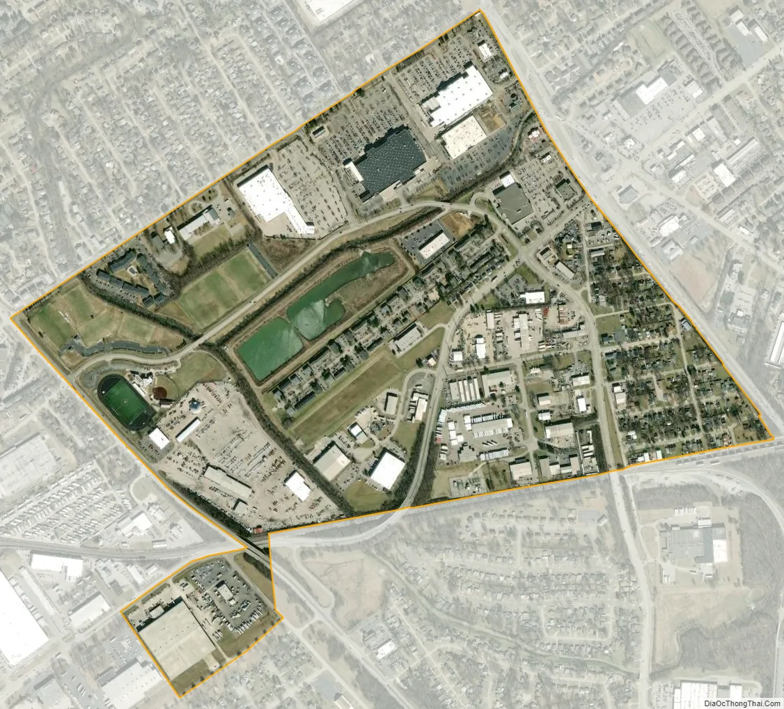
West Buechel city Satellite Map
Geography
West Buechel is located in central Jefferson County at 38°11′43″N 85°39′48″W / 38.195399°N 85.663302°W / 38.195399; -85.663302. It is bordered to the west by Watterson Park and on all other sides by consolidated Louisville/Jefferson County. U.S. Route 150 forms the northeast boundary of the city, while Newburg Road forms most of the southwest boundary. Downtown Louisville is 7 miles (11 km) to the northwest.
According to the United States Census Bureau, West Buechel has a total area of 0.62 square miles (1.6 km), of which 0.01 square miles (0.02 km), or 1.30%, are water.
See also
Map of Kentucky State and its subdivision:- Adair
- Allen
- Anderson
- Ballard
- Barren
- Bath
- Bell
- Boone
- Bourbon
- Boyd
- Boyle
- Bracken
- Breathitt
- Breckinridge
- Bullitt
- Butler
- Caldwell
- Calloway
- Campbell
- Carlisle
- Carroll
- Carter
- Casey
- Christian
- Clark
- Clay
- Clinton
- Crittenden
- Cumberland
- Daviess
- Edmonson
- Elliott
- Estill
- Fayette
- Fleming
- Floyd
- Franklin
- Fulton
- Gallatin
- Garrard
- Grant
- Graves
- Grayson
- Green
- Greenup
- Hancock
- Hardin
- Harlan
- Harrison
- Hart
- Henderson
- Henry
- Hickman
- Hopkins
- Jackson
- Jefferson
- Jessamine
- Johnson
- Kenton
- Knott
- Knox
- Larue
- Laurel
- Lawrence
- Lee
- Leslie
- Letcher
- Lewis
- Lincoln
- Livingston
- Logan
- Lyon
- Madison
- Magoffin
- Marion
- Marshall
- Martin
- Mason
- McCracken
- McCreary
- McLean
- Meade
- Menifee
- Mercer
- Metcalfe
- Monroe
- Montgomery
- Morgan
- Muhlenberg
- Nelson
- Nicholas
- Ohio
- Oldham
- Owen
- Owsley
- Pendleton
- Perry
- Pike
- Powell
- Pulaski
- Robertson
- Rockcastle
- Rowan
- Russell
- Scott
- Shelby
- Simpson
- Spencer
- Taylor
- Todd
- Trigg
- Trimble
- Union
- Warren
- Washington
- Wayne
- Webster
- Whitley
- Wolfe
- Woodford
- Alabama
- Alaska
- Arizona
- Arkansas
- California
- Colorado
- Connecticut
- Delaware
- District of Columbia
- Florida
- Georgia
- Hawaii
- Idaho
- Illinois
- Indiana
- Iowa
- Kansas
- Kentucky
- Louisiana
- Maine
- Maryland
- Massachusetts
- Michigan
- Minnesota
- Mississippi
- Missouri
- Montana
- Nebraska
- Nevada
- New Hampshire
- New Jersey
- New Mexico
- New York
- North Carolina
- North Dakota
- Ohio
- Oklahoma
- Oregon
- Pennsylvania
- Rhode Island
- South Carolina
- South Dakota
- Tennessee
- Texas
- Utah
- Vermont
- Virginia
- Washington
- West Virginia
- Wisconsin
- Wyoming


