Wingo is a home rule-class city in Graves County, Kentucky, United States. The population was 632 at the 2010 census.
| Name: | Wingo city |
|---|---|
| LSAD Code: | 25 |
| LSAD Description: | city (suffix) |
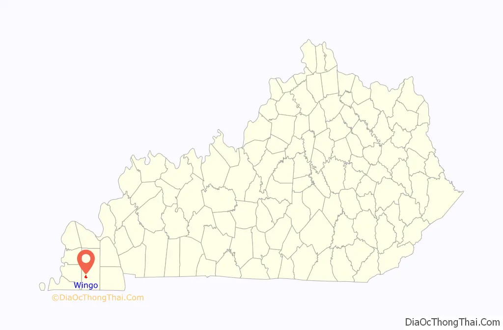
| State: | Kentucky |
| County: | Graves County |
| Elevation: | 502 ft (153 m) |
| Total Area: | 0.98 sq mi (2.54 km²) |
| Land Area: | 0.97 sq mi (2.53 km²) |
| Water Area: | 0.01 sq mi (0.02 km²) |
| Total Population: | 573 |
| Population Density: | 587.69/sq mi (226.89/km²) |
| ZIP code: | 42088 |
| Area code: | 270 & 364 |
| FIPS code: | 2183856 |
| GNISfeature ID: | 0506944 |
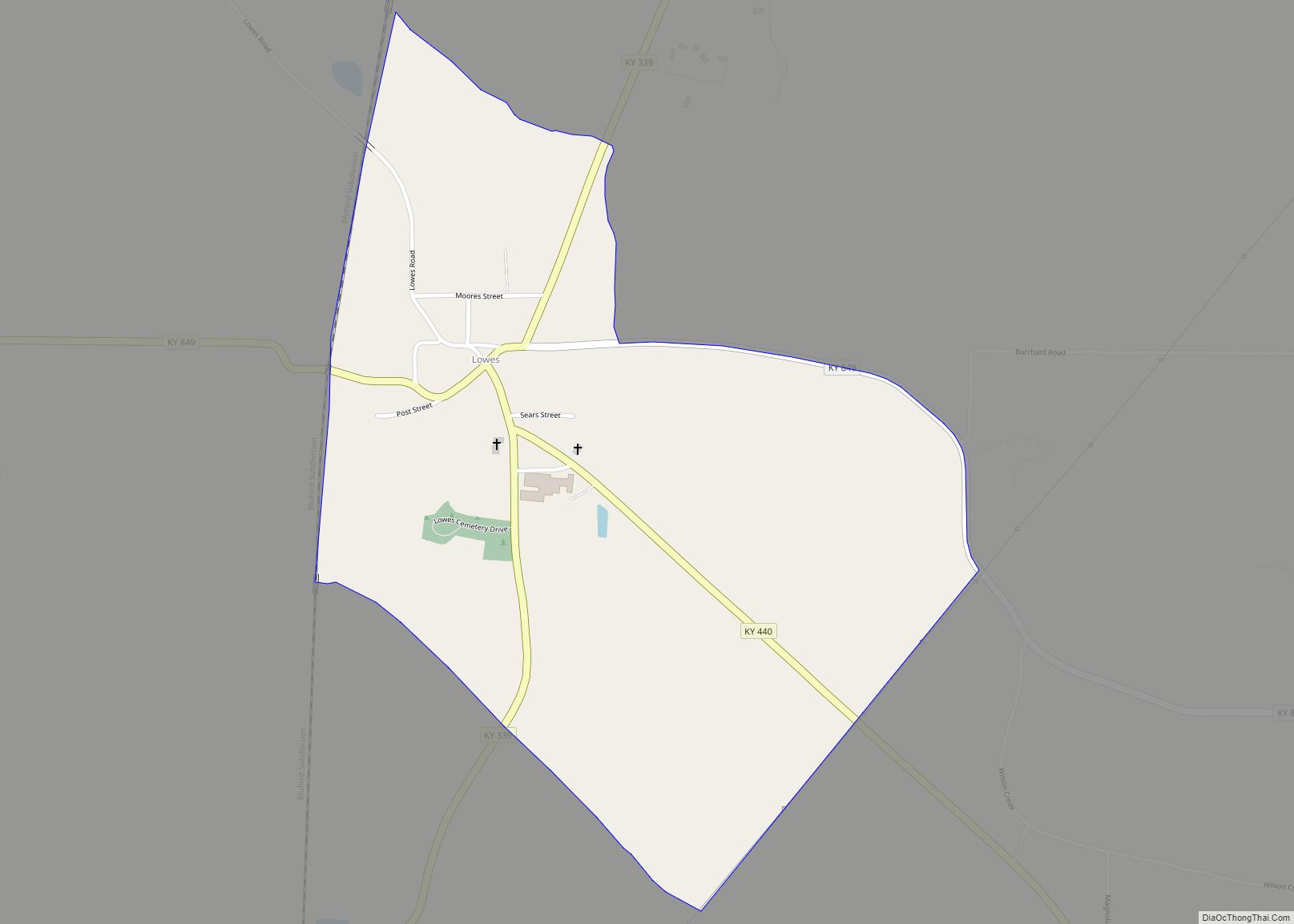
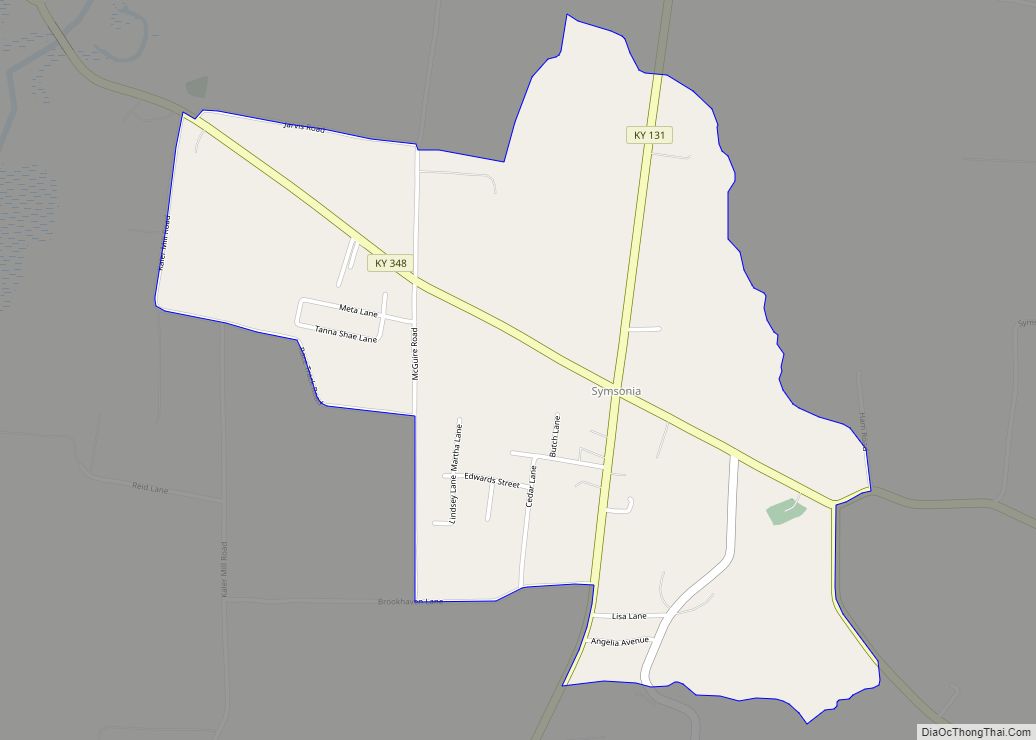
Online Interactive Map
Click on ![]() to view map in "full screen" mode.
to view map in "full screen" mode.
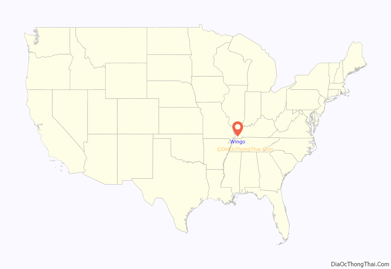
Wingo location map. Where is Wingo city?
History
Wingo was established in 1854 as a stop along the New Orleans and Ohio Railroad, a predecessor line of the Illinois Central. The city was originally named “Wingo’s Station” for local landowner Jerman J. Wingo, who provided the land for the depot. A post office was moved to the station from nearby Point Curve in 1862, and the city incorporated in 1872. The “Station” was dropped from the name in 1882. In 2021, Wingo-born Clayton Ray Mullins was arrested and charged in the assault of Washington, D.C. Metropolitan Police Officer “A.W.” amidst that year’s United States Capitol Attack, which was the focus of a subsequent long-form story in the New York Times.
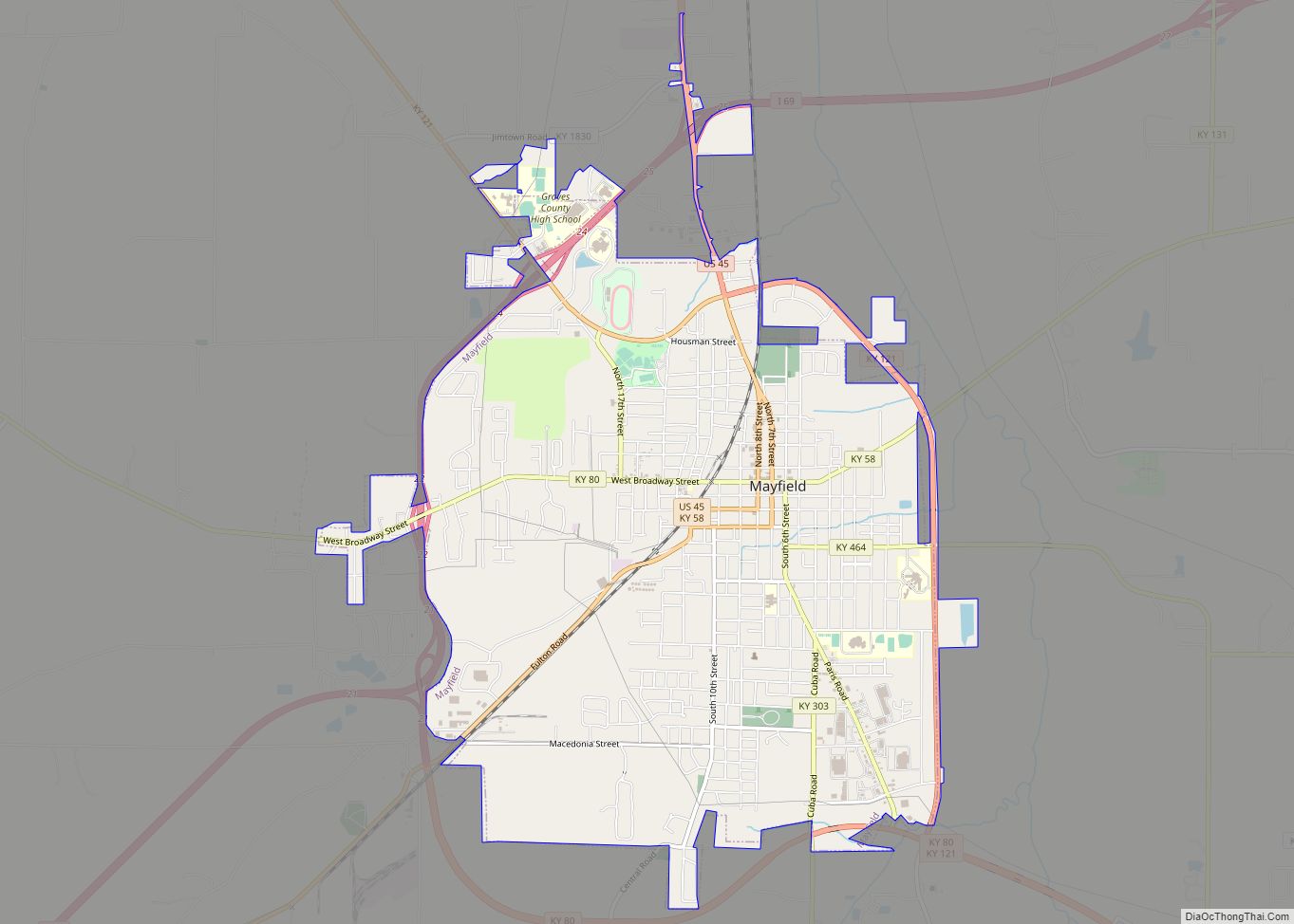
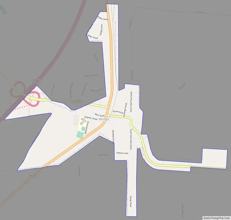
Wingo Road Map
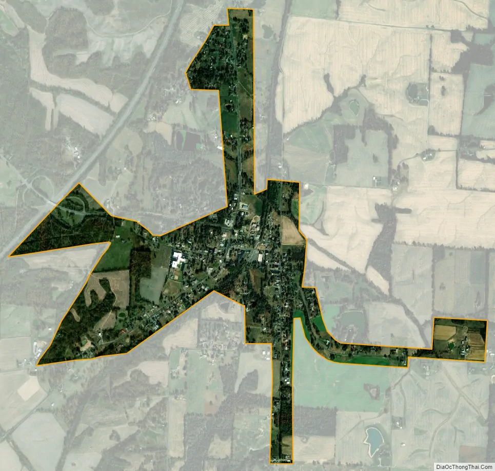
Wingo city Satellite Map
Geography
Wingo is located 10 miles (16 km) southwest of Mayfield, the county seat, and 13 miles (21 km) northeast of Fulton, at 36°38′41″N 88°44′11″W / 36.64472°N 88.73639°W / 36.64472; -88.73639 (36.644711, -88.736509). U.S. Route 45 passes through the center of town connecting the two larger cities. The Purchase Parkway runs just west of Wingo, with access from Exit 14.
According to the United States Census Bureau, Wingo has a total area of 0.97 square miles (2.5 km), of which 0.01 square miles (0.02 km), or 0.70%, is water.
See also
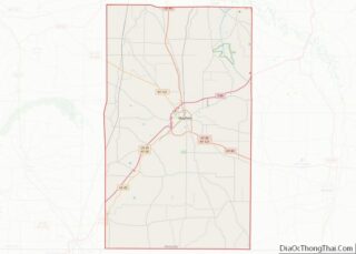
Map of Kentucky State and its subdivision:- Adair
- Allen
- Anderson
- Ballard
- Barren
- Bath
- Bell
- Boone
- Bourbon
- Boyd
- Boyle
- Bracken
- Breathitt
- Breckinridge
- Bullitt
- Butler
- Caldwell
- Calloway
- Campbell
- Carlisle
- Carroll
- Carter
- Casey
- Christian
- Clark
- Clay
- Clinton
- Crittenden
- Cumberland
- Daviess
- Edmonson
- Elliott
- Estill
- Fayette
- Fleming
- Floyd
- Franklin
- Fulton
- Gallatin
- Garrard
- Grant
- Graves
- Grayson
- Green
- Greenup
- Hancock
- Hardin
- Harlan
- Harrison
- Hart
- Henderson
- Henry
- Hickman
- Hopkins
- Jackson
- Jefferson
- Jessamine
- Johnson
- Kenton
- Knott
- Knox
- Larue
- Laurel
- Lawrence
- Lee
- Leslie
- Letcher
- Lewis
- Lincoln
- Livingston
- Logan
- Lyon
- Madison
- Magoffin
- Marion
- Marshall
- Martin
- Mason
- McCracken
- McCreary
- McLean
- Meade
- Menifee
- Mercer
- Metcalfe
- Monroe
- Montgomery
- Morgan
- Muhlenberg
- Nelson
- Nicholas
- Ohio
- Oldham
- Owen
- Owsley
- Pendleton
- Perry
- Pike
- Powell
- Pulaski
- Robertson
- Rockcastle
- Rowan
- Russell
- Scott
- Shelby
- Simpson
- Spencer
- Taylor
- Todd
- Trigg
- Trimble
- Union
- Warren
- Washington
- Wayne
- Webster
- Whitley
- Wolfe
- Woodford
- Alabama
- Alaska
- Arizona
- Arkansas
- California
- Colorado
- Connecticut
- Delaware
- District of Columbia
- Florida
- Georgia
- Hawaii
- Idaho
- Illinois
- Indiana
- Iowa
- Kansas
- Kentucky
- Louisiana
- Maine
- Maryland
- Massachusetts
- Michigan
- Minnesota
- Mississippi
- Missouri
- Montana
- Nebraska
- Nevada
- New Hampshire
- New Jersey
- New Mexico
- New York
- North Carolina
- North Dakota
- Ohio
- Oklahoma
- Oregon
- Pennsylvania
- Rhode Island
- South Carolina
- South Dakota
- Tennessee
- Texas
- Utah
- Vermont
- Virginia
- Washington
- West Virginia
- Wisconsin
- Wyoming