Woodlawn is a home rule-class city in Campbell County, Kentucky, United States. The population was 229 at the 2010 census.
| Name: | Woodlawn city |
|---|---|
| LSAD Code: | 25 |
| LSAD Description: | city (suffix) |
| State: | Kentucky |
| County: | Campbell County |
| Elevation: | 548 ft (167 m) |
| Total Area: | 0.06 sq mi (0.15 km²) |
| Land Area: | 0.06 sq mi (0.15 km²) |
| Water Area: | 0.00 sq mi (0.00 km²) |
| Total Population: | 212 |
| Population Density: | 3,593.22/sq mi (1,392.36/km²) |
| ZIP code: | 41071 |
| Area code: | 859 |
| FIPS code: | 2184522 |
| GNISfeature ID: | 0507105 |
Online Interactive Map
Click on ![]() to view map in "full screen" mode.
to view map in "full screen" mode.
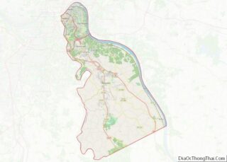
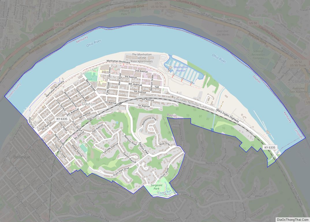
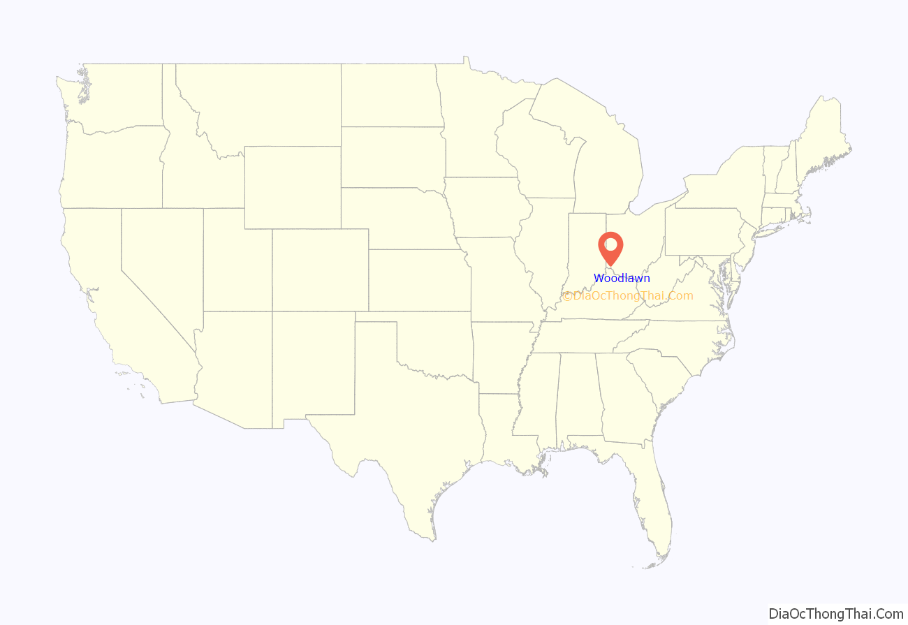
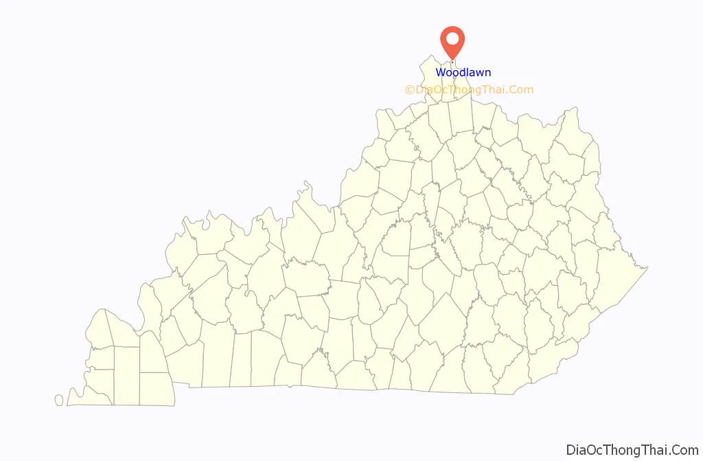
Woodlawn location map. Where is Woodlawn city?
History
Woodlawn was incorporated as a city October 17, 1922.
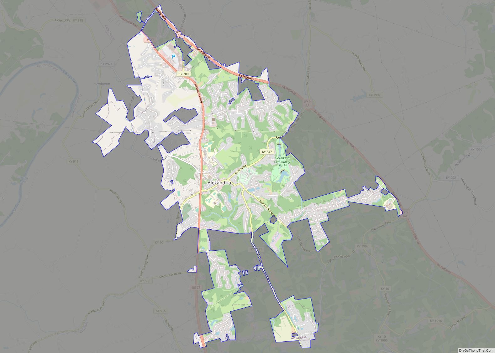
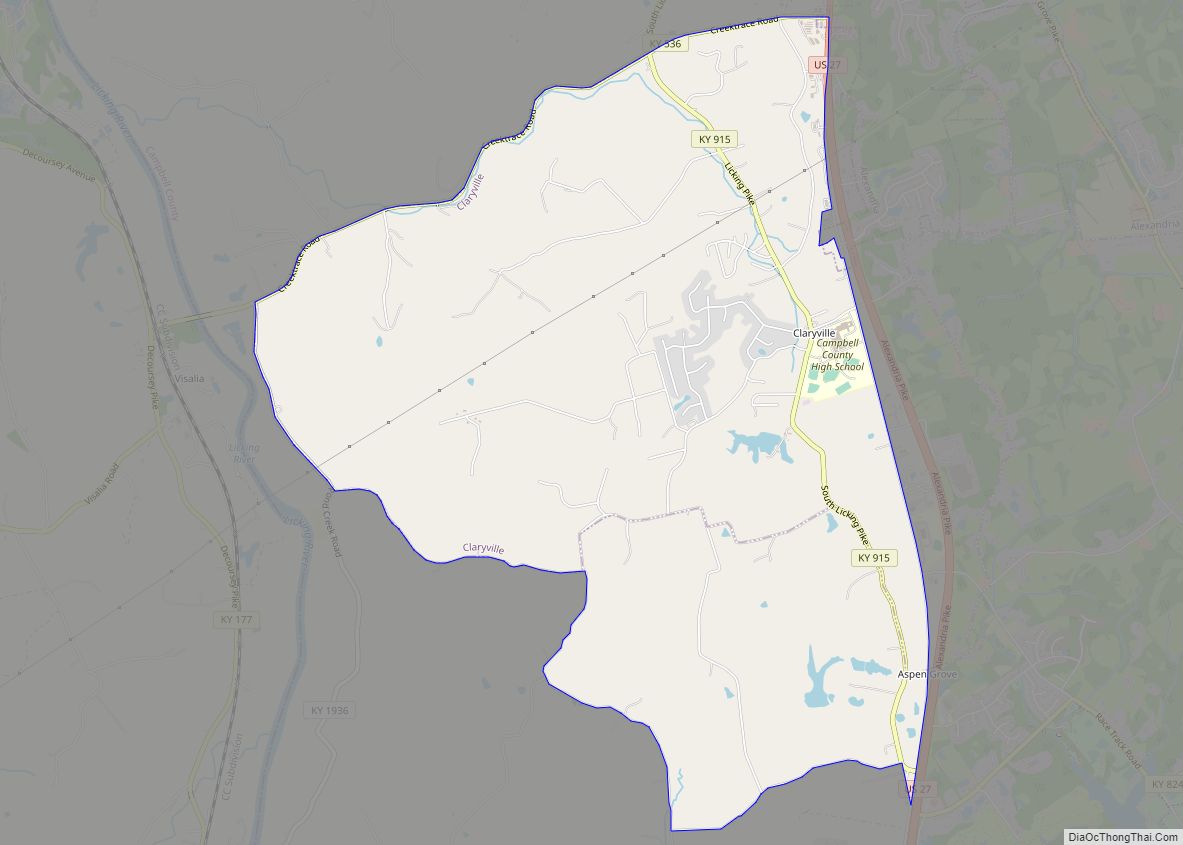
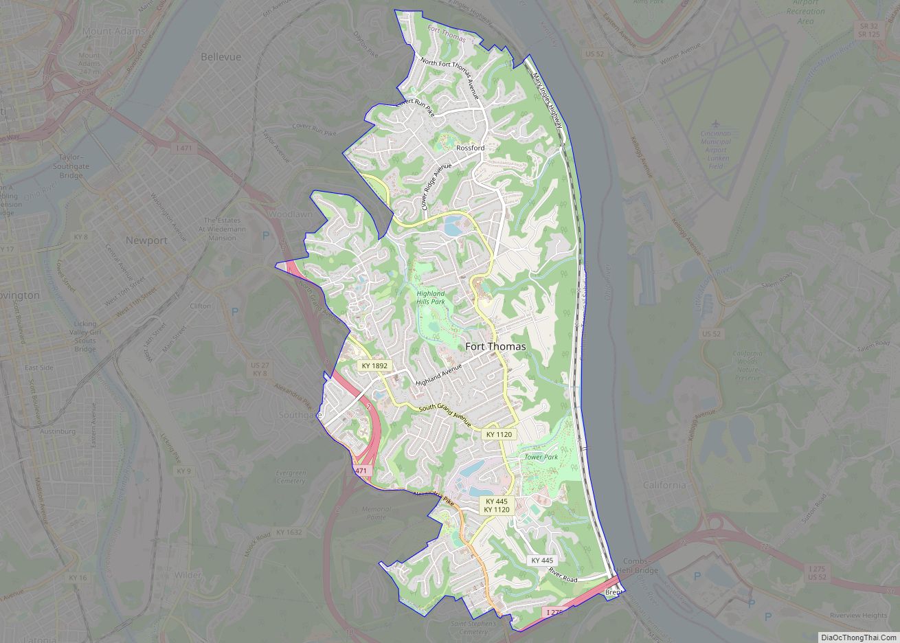
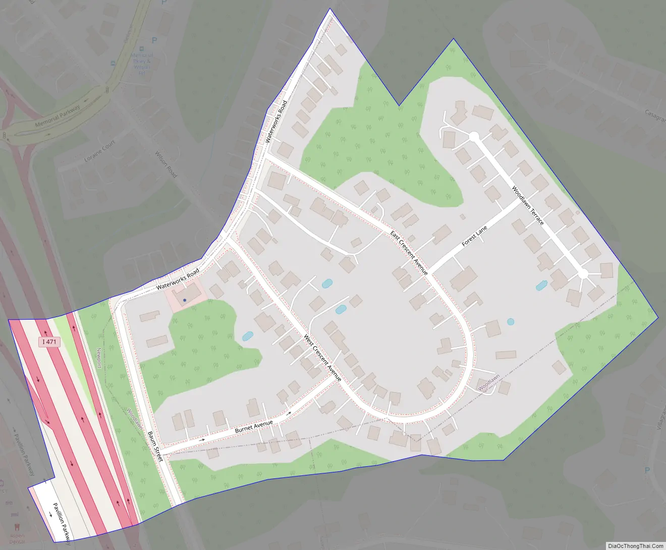
Woodlawn Road Map
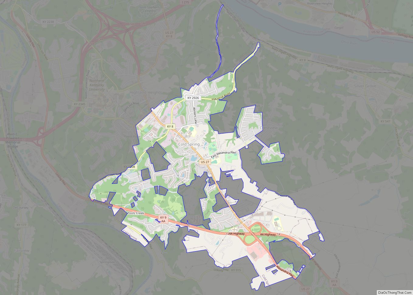
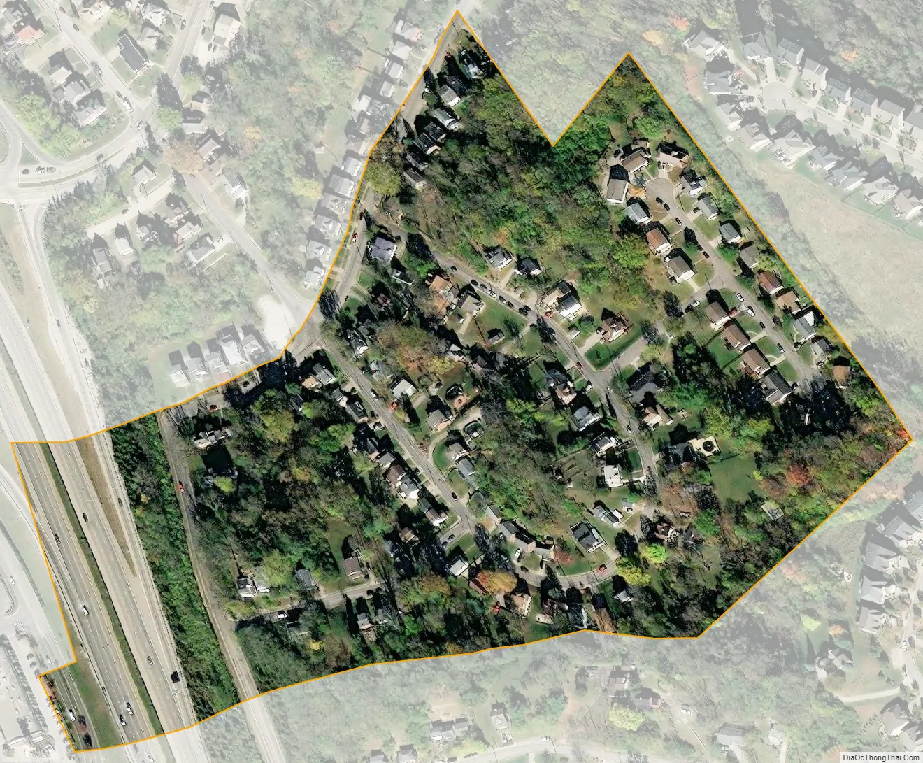
Woodlawn city Satellite Map
Geography
Woodlawn is located in northern Campbell County at 39°5′25″N 84°28′24″W / 39.09028°N 84.47333°W / 39.09028; -84.47333 (39.090261, −84.473345). It is bordered to the north, west, and south by the city of Newport, and to the east and south by the city of Fort Thomas. Interstate 471 crosses the western end of Woodlawn and leads 2 miles (3 km) across the Ohio River into Cincinnati.
According to the United States Census Bureau, Woodlawn has a total area of 0.05 square miles (0.12 km), all land.
See also
Map of Kentucky State and its subdivision:- Adair
- Allen
- Anderson
- Ballard
- Barren
- Bath
- Bell
- Boone
- Bourbon
- Boyd
- Boyle
- Bracken
- Breathitt
- Breckinridge
- Bullitt
- Butler
- Caldwell
- Calloway
- Campbell
- Carlisle
- Carroll
- Carter
- Casey
- Christian
- Clark
- Clay
- Clinton
- Crittenden
- Cumberland
- Daviess
- Edmonson
- Elliott
- Estill
- Fayette
- Fleming
- Floyd
- Franklin
- Fulton
- Gallatin
- Garrard
- Grant
- Graves
- Grayson
- Green
- Greenup
- Hancock
- Hardin
- Harlan
- Harrison
- Hart
- Henderson
- Henry
- Hickman
- Hopkins
- Jackson
- Jefferson
- Jessamine
- Johnson
- Kenton
- Knott
- Knox
- Larue
- Laurel
- Lawrence
- Lee
- Leslie
- Letcher
- Lewis
- Lincoln
- Livingston
- Logan
- Lyon
- Madison
- Magoffin
- Marion
- Marshall
- Martin
- Mason
- McCracken
- McCreary
- McLean
- Meade
- Menifee
- Mercer
- Metcalfe
- Monroe
- Montgomery
- Morgan
- Muhlenberg
- Nelson
- Nicholas
- Ohio
- Oldham
- Owen
- Owsley
- Pendleton
- Perry
- Pike
- Powell
- Pulaski
- Robertson
- Rockcastle
- Rowan
- Russell
- Scott
- Shelby
- Simpson
- Spencer
- Taylor
- Todd
- Trigg
- Trimble
- Union
- Warren
- Washington
- Wayne
- Webster
- Whitley
- Wolfe
- Woodford
- Alabama
- Alaska
- Arizona
- Arkansas
- California
- Colorado
- Connecticut
- Delaware
- District of Columbia
- Florida
- Georgia
- Hawaii
- Idaho
- Illinois
- Indiana
- Iowa
- Kansas
- Kentucky
- Louisiana
- Maine
- Maryland
- Massachusetts
- Michigan
- Minnesota
- Mississippi
- Missouri
- Montana
- Nebraska
- Nevada
- New Hampshire
- New Jersey
- New Mexico
- New York
- North Carolina
- North Dakota
- Ohio
- Oklahoma
- Oregon
- Pennsylvania
- Rhode Island
- South Carolina
- South Dakota
- Tennessee
- Texas
- Utah
- Vermont
- Virginia
- Washington
- West Virginia
- Wisconsin
- Wyoming