Woodlawn Park is a home rule-class city in Jefferson County, Kentucky, United States. The population was 942 at the 2010 census, down from 1,033 at the 2000 census.
| Name: | Woodlawn Park city |
|---|---|
| LSAD Code: | 25 |
| LSAD Description: | city (suffix) |
| State: | Kentucky |
| County: | Jefferson County |
| Elevation: | 541 ft (165 m) |
| Total Area: | 0.24 sq mi (0.63 km²) |
| Land Area: | 0.24 sq mi (0.63 km²) |
| Water Area: | 0.00 sq mi (0.00 km²) |
| Total Population: | 947 |
| Population Density: | 3,913.22/sq mi (1,509.34/km²) |
| ZIP code: | 40207 |
| FIPS code: | 2184576 |
| GNISfeature ID: | 0507109 |
| Website: | www.woodlawnpark.com |
Online Interactive Map
Click on ![]() to view map in "full screen" mode.
to view map in "full screen" mode.
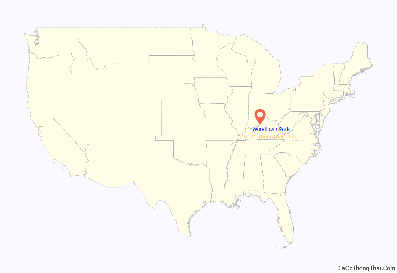
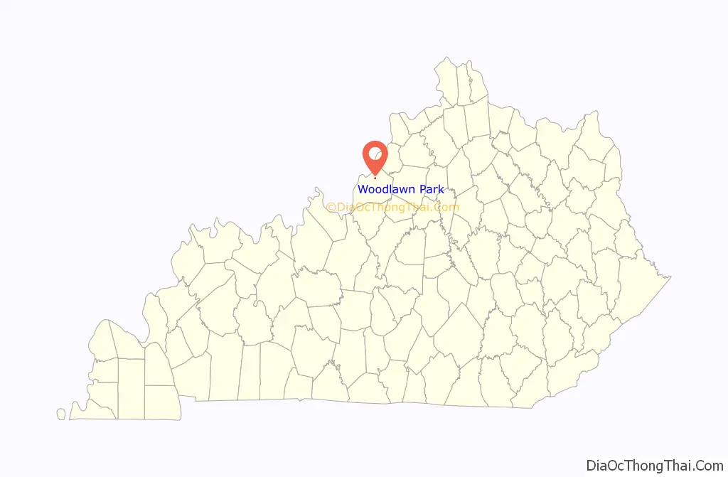
Woodlawn Park location map. Where is Woodlawn Park city?
History
Woodlawn Park lies on the site of the former Woodlawn Race Course, which opened in 1859 and drew national attention. The course closed after the Civil War. R. A. Alexander, noted breeder, was a major figure in buying estate for the National Racing Association. He contracted with Tiffany’s to design the Woodlawn Vase, used in 1861 and 1862. It was buried for safety during the war. The vase is now the winner’s trophy at the Preakness Stakes, where a replica is given each year.
Woodlawn Park was incorporated March 10, 1955.
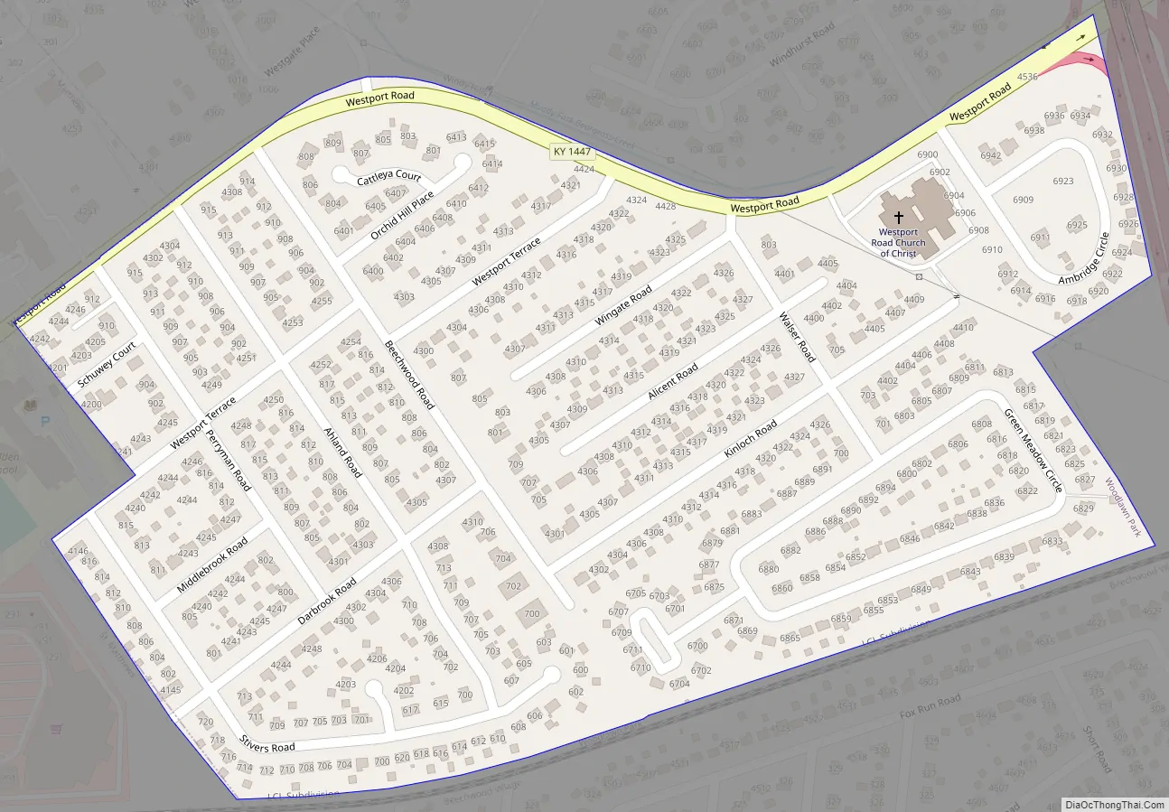
Woodlawn Park Road Map
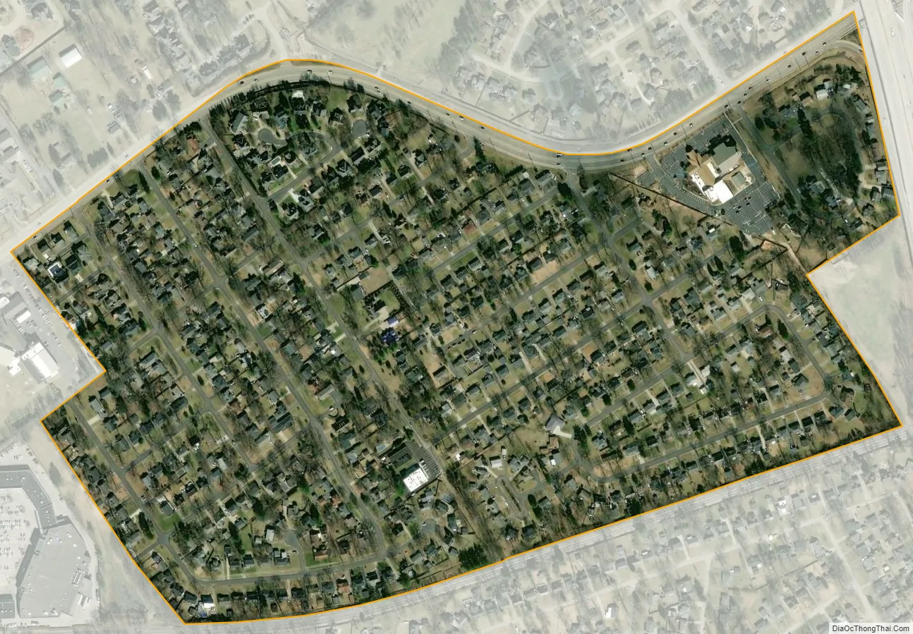
Woodlawn Park city Satellite Map
Geography
Woodlawn Park is located in northeastern Jefferson County at 38°15′41″N 85°37′59″W / 38.26139°N 85.63306°W / 38.26139; -85.63306 (38.261446, -85.632950). It is bordered to the north by Windy Hills, to the west by St. Matthews, to the south by Beechwood Village, and to the east by consolidated Louisville/Jefferson County.
Interstate 264 runs just east of the community.
According to the United States Census Bureau, Woodlawn Park has a total area of 0.24 square miles (0.63 km), all land.
See also
Map of Kentucky State and its subdivision:- Adair
- Allen
- Anderson
- Ballard
- Barren
- Bath
- Bell
- Boone
- Bourbon
- Boyd
- Boyle
- Bracken
- Breathitt
- Breckinridge
- Bullitt
- Butler
- Caldwell
- Calloway
- Campbell
- Carlisle
- Carroll
- Carter
- Casey
- Christian
- Clark
- Clay
- Clinton
- Crittenden
- Cumberland
- Daviess
- Edmonson
- Elliott
- Estill
- Fayette
- Fleming
- Floyd
- Franklin
- Fulton
- Gallatin
- Garrard
- Grant
- Graves
- Grayson
- Green
- Greenup
- Hancock
- Hardin
- Harlan
- Harrison
- Hart
- Henderson
- Henry
- Hickman
- Hopkins
- Jackson
- Jefferson
- Jessamine
- Johnson
- Kenton
- Knott
- Knox
- Larue
- Laurel
- Lawrence
- Lee
- Leslie
- Letcher
- Lewis
- Lincoln
- Livingston
- Logan
- Lyon
- Madison
- Magoffin
- Marion
- Marshall
- Martin
- Mason
- McCracken
- McCreary
- McLean
- Meade
- Menifee
- Mercer
- Metcalfe
- Monroe
- Montgomery
- Morgan
- Muhlenberg
- Nelson
- Nicholas
- Ohio
- Oldham
- Owen
- Owsley
- Pendleton
- Perry
- Pike
- Powell
- Pulaski
- Robertson
- Rockcastle
- Rowan
- Russell
- Scott
- Shelby
- Simpson
- Spencer
- Taylor
- Todd
- Trigg
- Trimble
- Union
- Warren
- Washington
- Wayne
- Webster
- Whitley
- Wolfe
- Woodford
- Alabama
- Alaska
- Arizona
- Arkansas
- California
- Colorado
- Connecticut
- Delaware
- District of Columbia
- Florida
- Georgia
- Hawaii
- Idaho
- Illinois
- Indiana
- Iowa
- Kansas
- Kentucky
- Louisiana
- Maine
- Maryland
- Massachusetts
- Michigan
- Minnesota
- Mississippi
- Missouri
- Montana
- Nebraska
- Nevada
- New Hampshire
- New Jersey
- New Mexico
- New York
- North Carolina
- North Dakota
- Ohio
- Oklahoma
- Oregon
- Pennsylvania
- Rhode Island
- South Carolina
- South Dakota
- Tennessee
- Texas
- Utah
- Vermont
- Virginia
- Washington
- West Virginia
- Wisconsin
- Wyoming


