Oakwood is a city in Hall County, Georgia, United States. It is part of the Gainesville, Georgia Metropolitan Statistical Area. The population was 4,822 at the 2020 census, up from 3,970 in 2010. Oakwood is home to the University of North Georgia Gainesville Campus and Wayne Farms.
| Name: | Oakwood city |
|---|---|
| LSAD Code: | 25 |
| LSAD Description: | city (suffix) |
| State: | Georgia |
| County: | Hall County |
| Elevation: | 1,191 ft (363 m) |
| Total Area: | 5.87 sq mi (15.21 km²) |
| Land Area: | 5.86 sq mi (15.19 km²) |
| Water Area: | 0.01 sq mi (0.02 km²) |
| Total Population: | 4,822 |
| Population Density: | 822.45/sq mi (317.54/km²) |
| ZIP code: | 30566, 30542, 30502, 30504 |
| Area code: | 770 |
| FIPS code: | 1357260 |
| GNISfeature ID: | 2404414 |
| Website: | www.cityofoakwood.net |
Online Interactive Map
Click on ![]() to view map in "full screen" mode.
to view map in "full screen" mode.
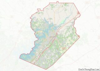
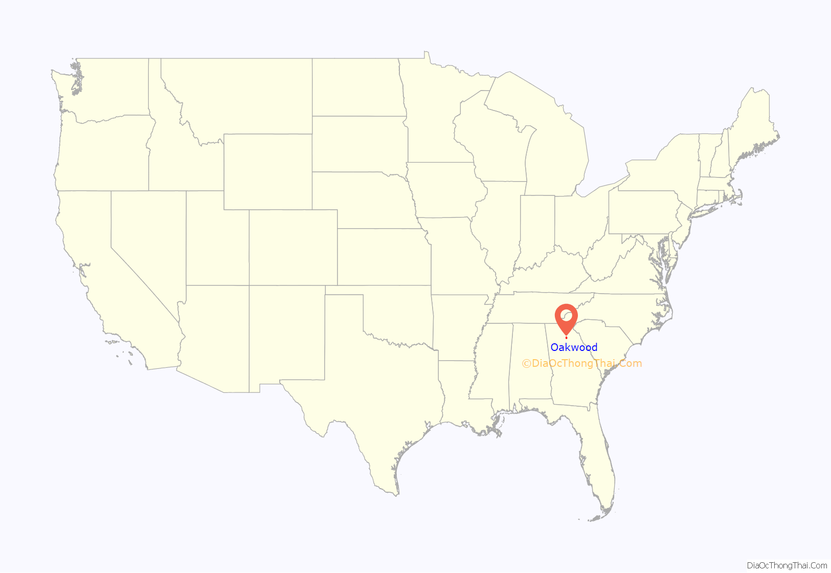
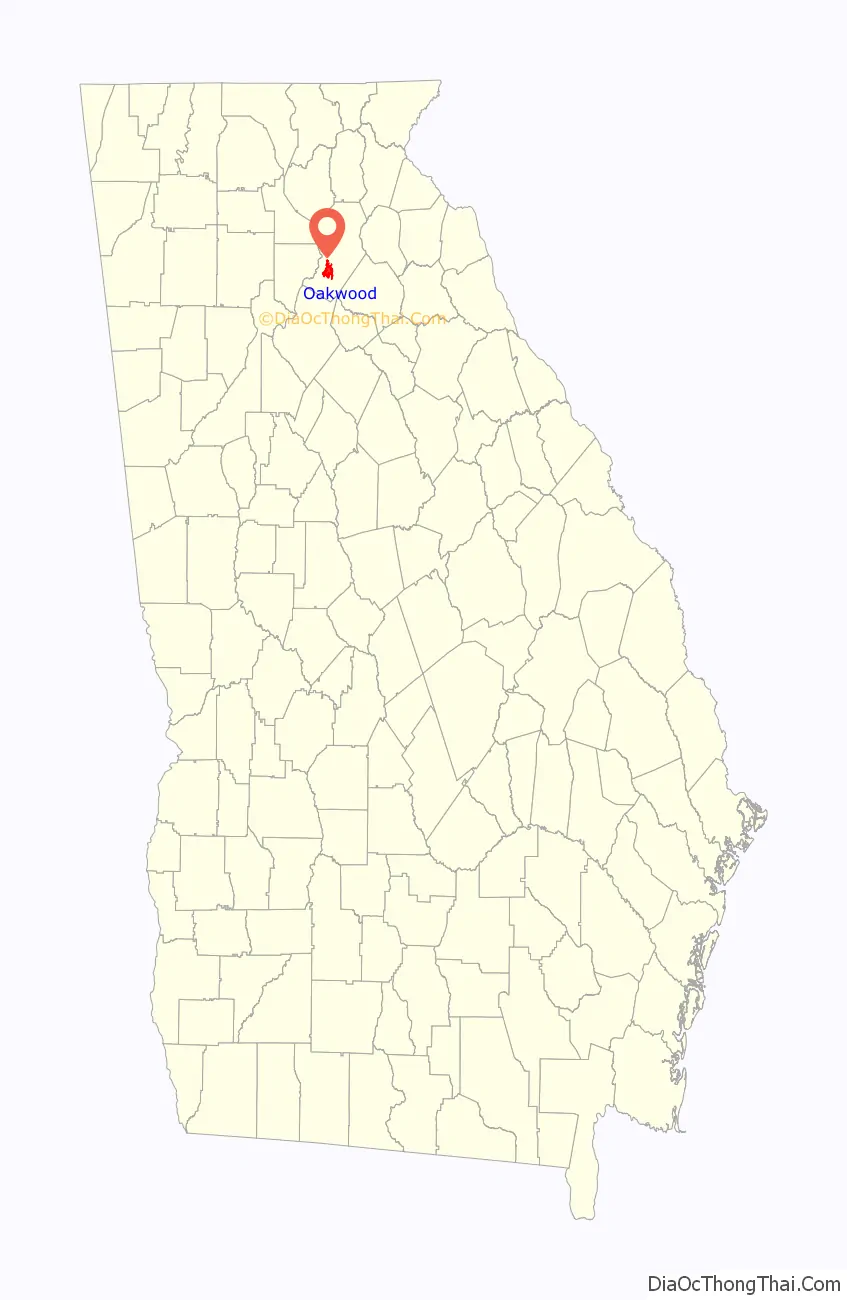
Oakwood location map. Where is Oakwood city?
History
The Georgia General Assembly incorporated Oakwood in 1903.
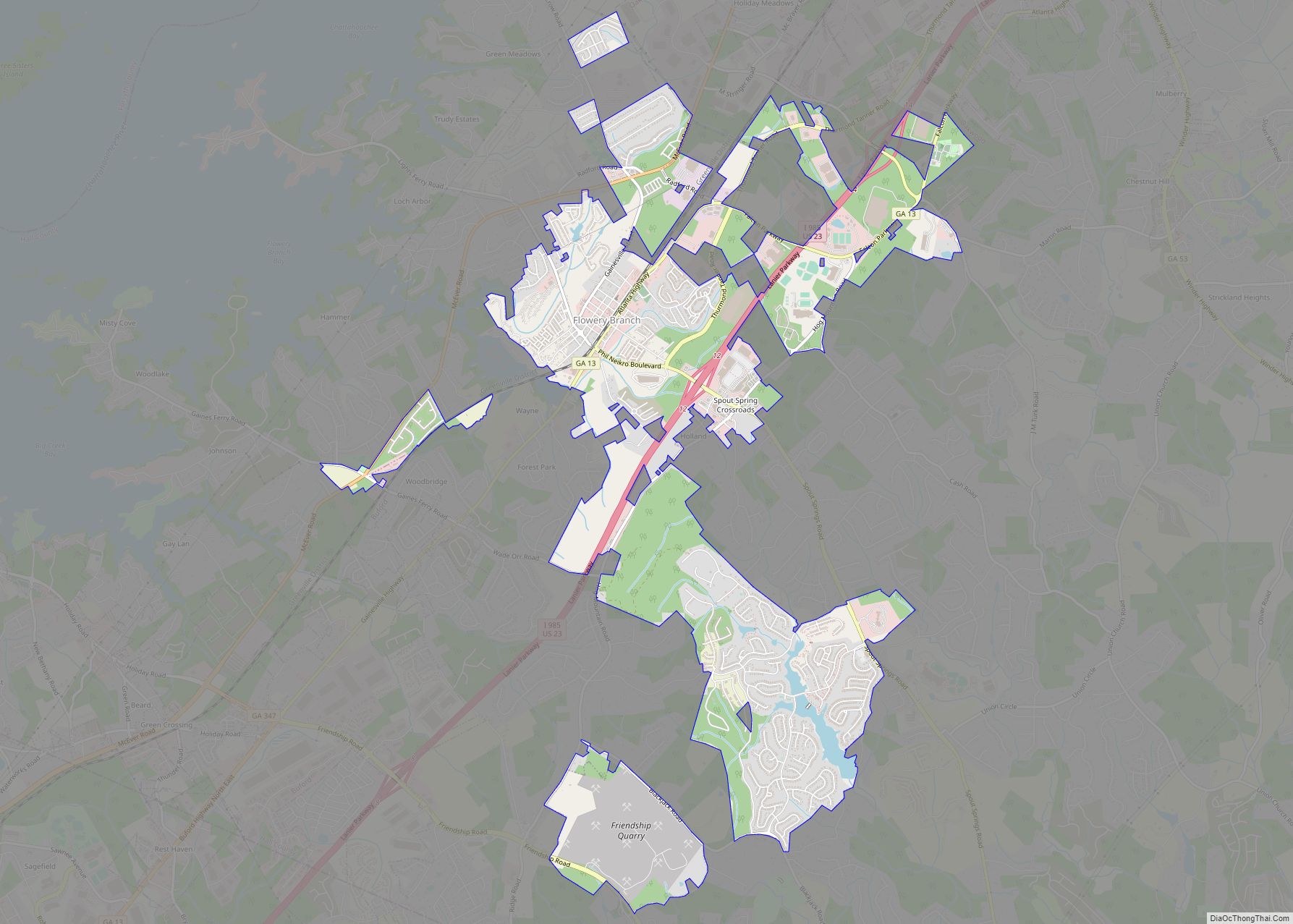
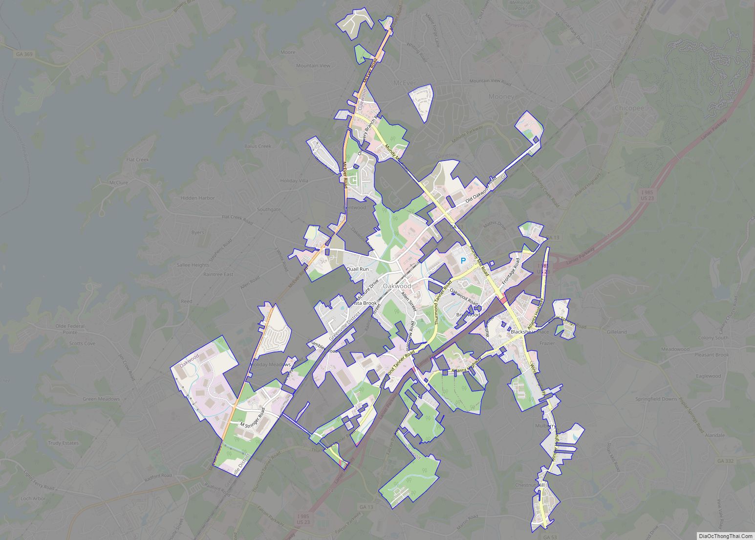
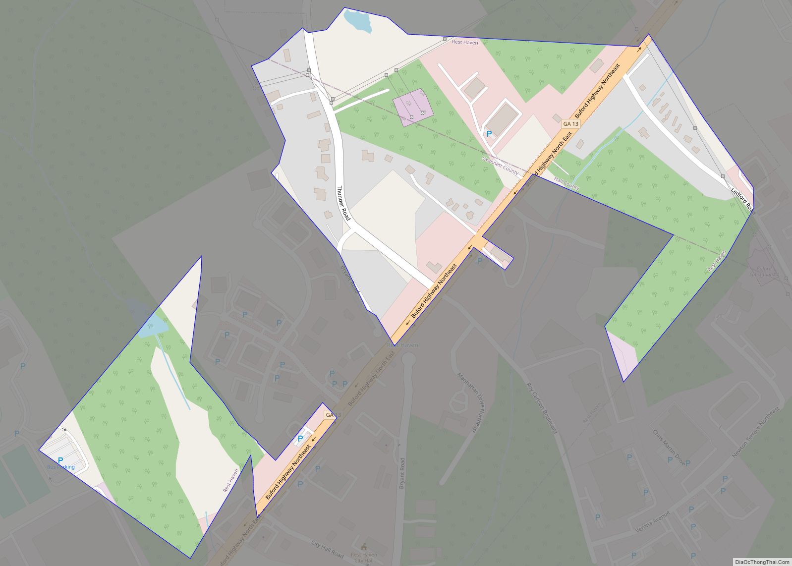
Oakwood Road Map
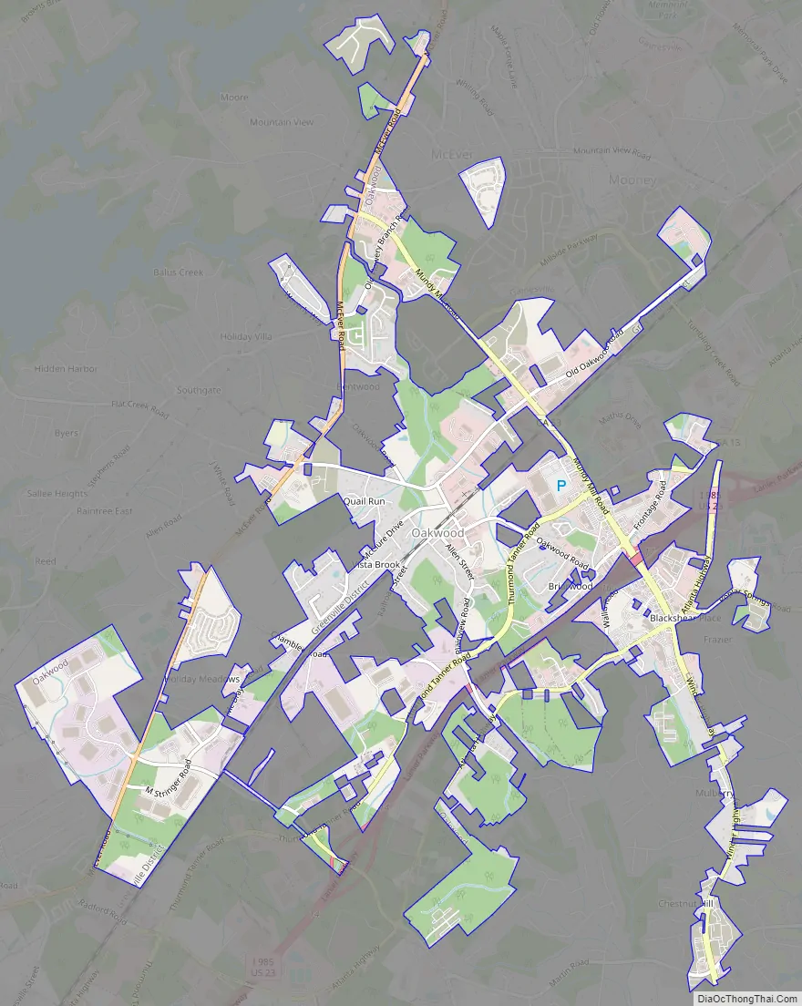
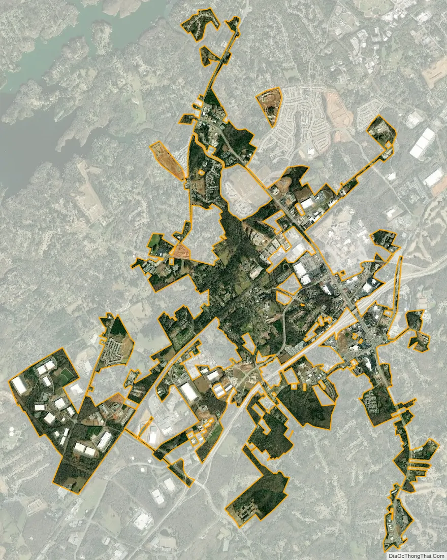
Oakwood city Satellite Map
Geography
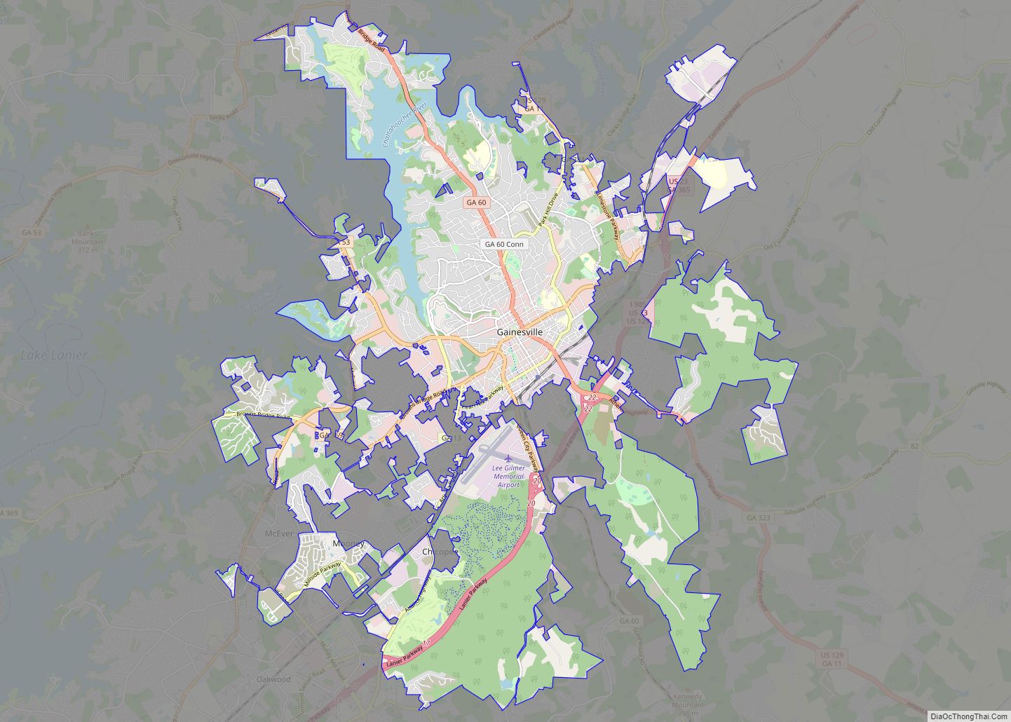
Oakwood is located southwest of the center of Hall County. It is bordered to the northeast by the city of Gainesville, the county seat, and to the southwest by the city of Flowery Branch.
Interstate 985 travels through the southeastern part of Oakwood, with access from Exits 16 and 17. Via I-985 it is 48 miles (77 km) southwest to downtown Atlanta.
According to the United States Census Bureau, the city has a total area of 5.1 square miles (13.1 km), of which 0.01 square miles (0.02 km), or 0.12%, are water.
See also
Map of Georgia State and its subdivision:- Appling
- Atkinson
- Bacon
- Baker
- Baldwin
- Banks
- Barrow
- Bartow
- Ben Hill
- Berrien
- Bibb
- Bleckley
- Brantley
- Brooks
- Bryan
- Bulloch
- Burke
- Butts
- Calhoun
- Camden
- Candler
- Carroll
- Catoosa
- Charlton
- Chatham
- Chattahoochee
- Chattooga
- Cherokee
- Clarke
- Clay
- Clayton
- Clinch
- Cobb
- Coffee
- Colquitt
- Columbia
- Cook
- Coweta
- Crawford
- Crisp
- Dade
- Dawson
- Decatur
- DeKalb
- Dodge
- Dooly
- Dougherty
- Douglas
- Early
- Echols
- Effingham
- Elbert
- Emanuel
- Evans
- Fannin
- Fayette
- Floyd
- Forsyth
- Franklin
- Fulton
- Gilmer
- Glascock
- Glynn
- Gordon
- Grady
- Greene
- Gwinnett
- Habersham
- Hall
- Hancock
- Haralson
- Harris
- Hart
- Heard
- Henry
- Houston
- Irwin
- Jackson
- Jasper
- Jeff Davis
- Jefferson
- Jenkins
- Johnson
- Jones
- Lamar
- Lanier
- Laurens
- Lee
- Liberty
- Lincoln
- Long
- Lowndes
- Lumpkin
- Macon
- Madison
- Marion
- McDuffie
- McIntosh
- Meriwether
- Miller
- Mitchell
- Monroe
- Montgomery
- Morgan
- Murray
- Muscogee
- Newton
- Oconee
- Oglethorpe
- Paulding
- Peach
- Pickens
- Pierce
- Pike
- Polk
- Pulaski
- Putnam
- Quitman
- Rabun
- Randolph
- Richmond
- Rockdale
- Schley
- Screven
- Seminole
- Spalding
- Stephens
- Stewart
- Sumter
- Talbot
- Taliaferro
- Tattnall
- Taylor
- Telfair
- Terrell
- Thomas
- Tift
- Toombs
- Towns
- Treutlen
- Troup
- Turner
- Twiggs
- Union
- Upson
- Walker
- Walton
- Ware
- Warren
- Washington
- Wayne
- Webster
- Wheeler
- White
- Whitfield
- Wilcox
- Wilkes
- Wilkinson
- Worth
- Alabama
- Alaska
- Arizona
- Arkansas
- California
- Colorado
- Connecticut
- Delaware
- District of Columbia
- Florida
- Georgia
- Hawaii
- Idaho
- Illinois
- Indiana
- Iowa
- Kansas
- Kentucky
- Louisiana
- Maine
- Maryland
- Massachusetts
- Michigan
- Minnesota
- Mississippi
- Missouri
- Montana
- Nebraska
- Nevada
- New Hampshire
- New Jersey
- New Mexico
- New York
- North Carolina
- North Dakota
- Ohio
- Oklahoma
- Oregon
- Pennsylvania
- Rhode Island
- South Carolina
- South Dakota
- Tennessee
- Texas
- Utah
- Vermont
- Virginia
- Washington
- West Virginia
- Wisconsin
- Wyoming