Bradfordsville is a home rule-class city in Marion County, Kentucky, in the United States. The population was 270 at the time of the 2020 census.
| Name: | Bradfordsville city |
|---|---|
| LSAD Code: | 25 |
| LSAD Description: | city (suffix) |
| State: | Kentucky |
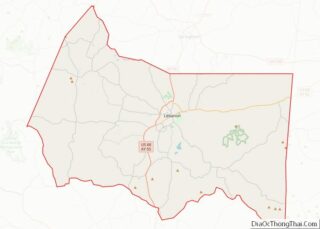
| County: | Marion County |
| Incorporated: | January 30, 1836 |
| Elevation: | 699 ft (213 m) |
| Total Area: | 0.27 sq mi (0.70 km²) |
| Land Area: | 0.27 sq mi (0.70 km²) |
| Water Area: | 0.00 sq mi (0.01 km²) |
| Total Population: | 270 |
| Population Density: | 1,000.00/sq mi (386.30/km²) |
| ZIP code: | 40009 |
| Area code: | 270 & 364 |
| FIPS code: | 2109100 |
| GNISfeature ID: | 0487792 |
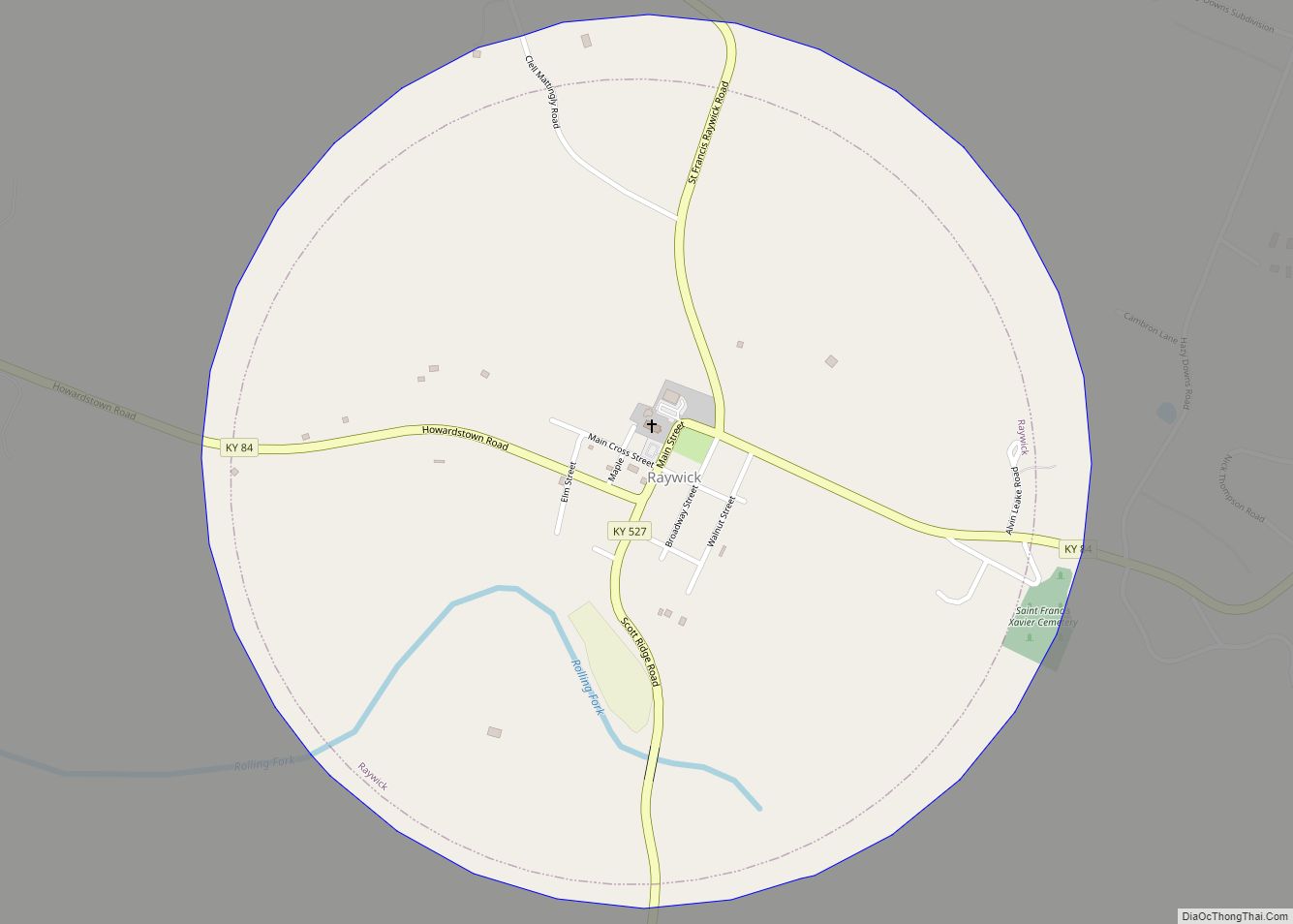
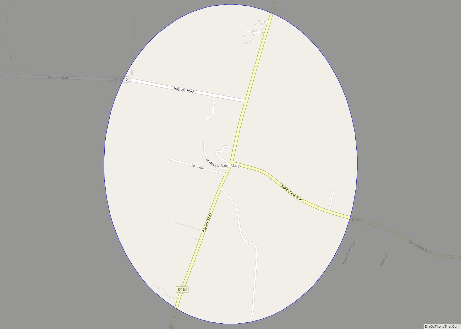
Online Interactive Map
Click on ![]() to view map in "full screen" mode.
to view map in "full screen" mode.
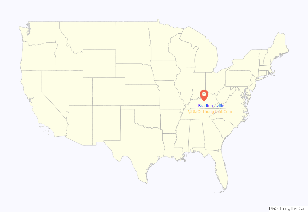
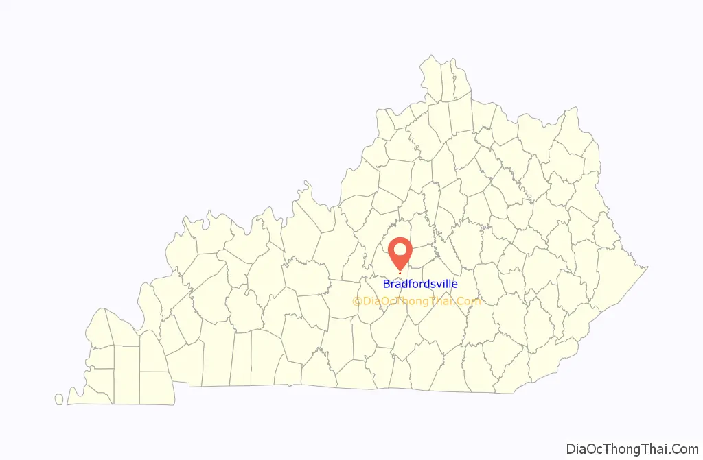
Bradfordsville location map. Where is Bradfordsville city?
History
The community at the site was first known as Centerville from its supposed location at the center of the state. (Having since gained the Jackson Purchase, the present geographic center of the state remains nearby at Cowherd Road and McCarty Lane on Ky. 429 northwest of Lebanon.) The settlement was renamed Bradford’s Mill after Peter Bradford’s combined saw- and gristmill at the site; this became “Bradfordsville” after the establishment of a post office in 1834.
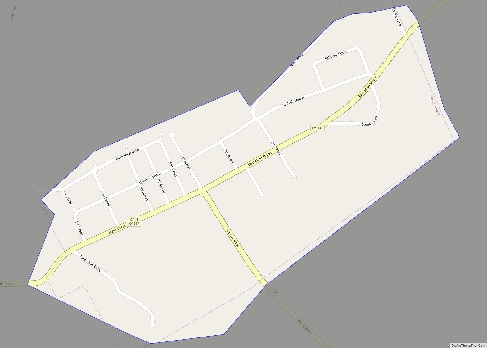
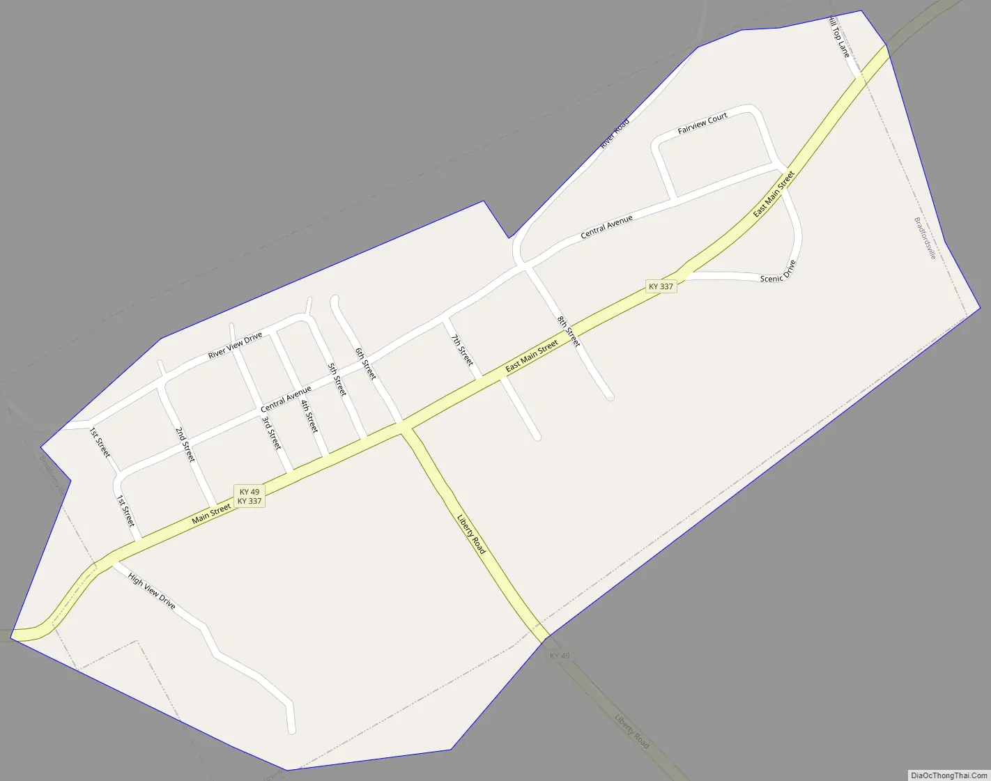
Bradfordsville Road Map
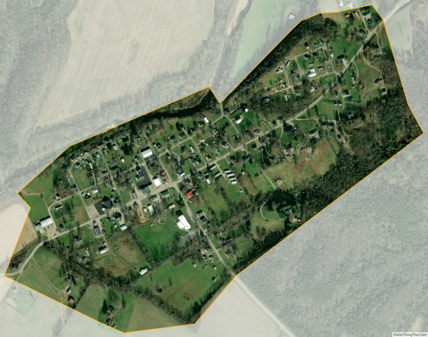
Bradfordsville city Satellite Map
Geography
Bradfordsville is located in southeastern Marion County at 37°29′43″N 85°8′54″W / 37.49528°N 85.14833°W / 37.49528; -85.14833 (37.495328, -85.148452). According to the U.S. Census Bureau, the city has a total area of 0.27 square miles (0.70 km), all land. Bradfordsville lies in the Rolling Fork Valley, just east of the point where the North Rolling Fork and the Big South Fork converge to form the Rolling Fork proper. The Rolling Fork is a northwest-flowing tributary of the Salt River, which joins the Ohio River a few miles downstream. Bradfordsville is mostly surrounded by rugged hills, with the Muldraugh Hill escarpment rising to the south.
Bradfordsville is concentrated around the intersection of Kentucky Route 337 (Main Street) and Kentucky Route 49 (Liberty Road). The former leads northeast 9 miles (14 km) to Gravel Switch and the Perryville area and southwest 12 miles (19 km) to Mannsville, while the latter leads southeast 20 miles (32 km) to Liberty and northwest 9 miles (14 km) to Lebanon, the Marion county seat.
Climate
See also
Map of Kentucky State and its subdivision:- Adair
- Allen
- Anderson
- Ballard
- Barren
- Bath
- Bell
- Boone
- Bourbon
- Boyd
- Boyle
- Bracken
- Breathitt
- Breckinridge
- Bullitt
- Butler
- Caldwell
- Calloway
- Campbell
- Carlisle
- Carroll
- Carter
- Casey
- Christian
- Clark
- Clay
- Clinton
- Crittenden
- Cumberland
- Daviess
- Edmonson
- Elliott
- Estill
- Fayette
- Fleming
- Floyd
- Franklin
- Fulton
- Gallatin
- Garrard
- Grant
- Graves
- Grayson
- Green
- Greenup
- Hancock
- Hardin
- Harlan
- Harrison
- Hart
- Henderson
- Henry
- Hickman
- Hopkins
- Jackson
- Jefferson
- Jessamine
- Johnson
- Kenton
- Knott
- Knox
- Larue
- Laurel
- Lawrence
- Lee
- Leslie
- Letcher
- Lewis
- Lincoln
- Livingston
- Logan
- Lyon
- Madison
- Magoffin
- Marion
- Marshall
- Martin
- Mason
- McCracken
- McCreary
- McLean
- Meade
- Menifee
- Mercer
- Metcalfe
- Monroe
- Montgomery
- Morgan
- Muhlenberg
- Nelson
- Nicholas
- Ohio
- Oldham
- Owen
- Owsley
- Pendleton
- Perry
- Pike
- Powell
- Pulaski
- Robertson
- Rockcastle
- Rowan
- Russell
- Scott
- Shelby
- Simpson
- Spencer
- Taylor
- Todd
- Trigg
- Trimble
- Union
- Warren
- Washington
- Wayne
- Webster
- Whitley
- Wolfe
- Woodford
- Alabama
- Alaska
- Arizona
- Arkansas
- California
- Colorado
- Connecticut
- Delaware
- District of Columbia
- Florida
- Georgia
- Hawaii
- Idaho
- Illinois
- Indiana
- Iowa
- Kansas
- Kentucky
- Louisiana
- Maine
- Maryland
- Massachusetts
- Michigan
- Minnesota
- Mississippi
- Missouri
- Montana
- Nebraska
- Nevada
- New Hampshire
- New Jersey
- New Mexico
- New York
- North Carolina
- North Dakota
- Ohio
- Oklahoma
- Oregon
- Pennsylvania
- Rhode Island
- South Carolina
- South Dakota
- Tennessee
- Texas
- Utah
- Vermont
- Virginia
- Washington
- West Virginia
- Wisconsin
- Wyoming