Brodhead is a home rule-class city in Rockcastle County in southeastern Kentucky. The population was 1,211 at the 2010 census. It is part of the Richmond–Berea Micropolitan Statistical Area.
Brodhead has been noted for its unusual place name.
| Name: | Brodhead city |
|---|---|
| LSAD Code: | 25 |
| LSAD Description: | city (suffix) |
| State: | Kentucky |
| County: | Rockcastle County |
| Elevation: | 935 ft (285 m) |
| Total Area: | 1.76 sq mi (4.56 km²) |
| Land Area: | 1.75 sq mi (4.52 km²) |
| Water Area: | 0.02 sq mi (0.04 km²) |
| Total Population: | 1,117 |
| Population Density: | 640.11/sq mi (247.11/km²) |
| ZIP code: | 40409 |
| Area code: | 606 |
| FIPS code: | 2109838 |
| GNISfeature ID: | 0487947 |
Online Interactive Map
Click on ![]() to view map in "full screen" mode.
to view map in "full screen" mode.
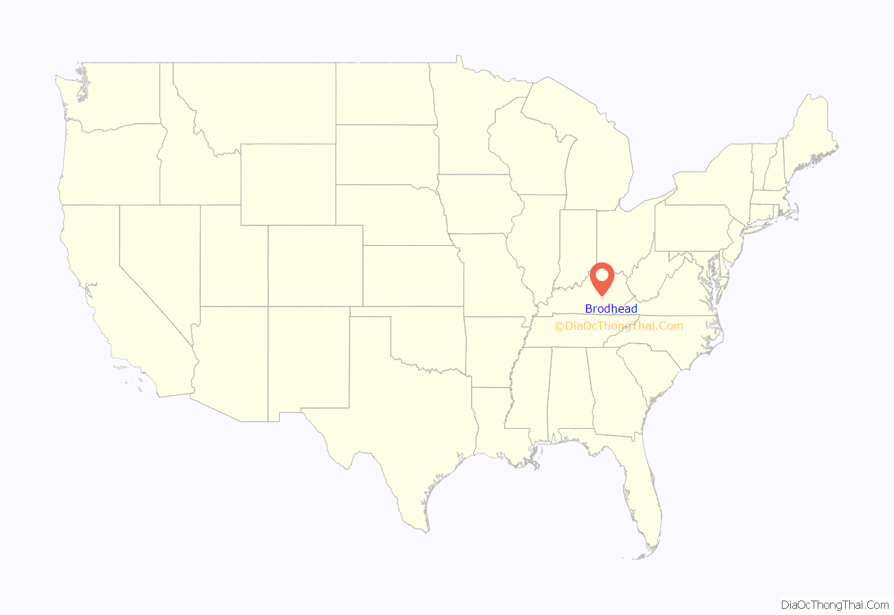
Brodhead location map. Where is Brodhead city?
History
What is now Brodhead was originally a stagecoach stop and drover’s stable known as Stigalls Station. When the L&N Railroad reached the area in early 1868, a train station was established, and the town was given its current name. The town is believed to have been named for the contractor responsible for building the rail line in the area, or for Richard Brodhead, a U.S. senator from Pennsylvania.
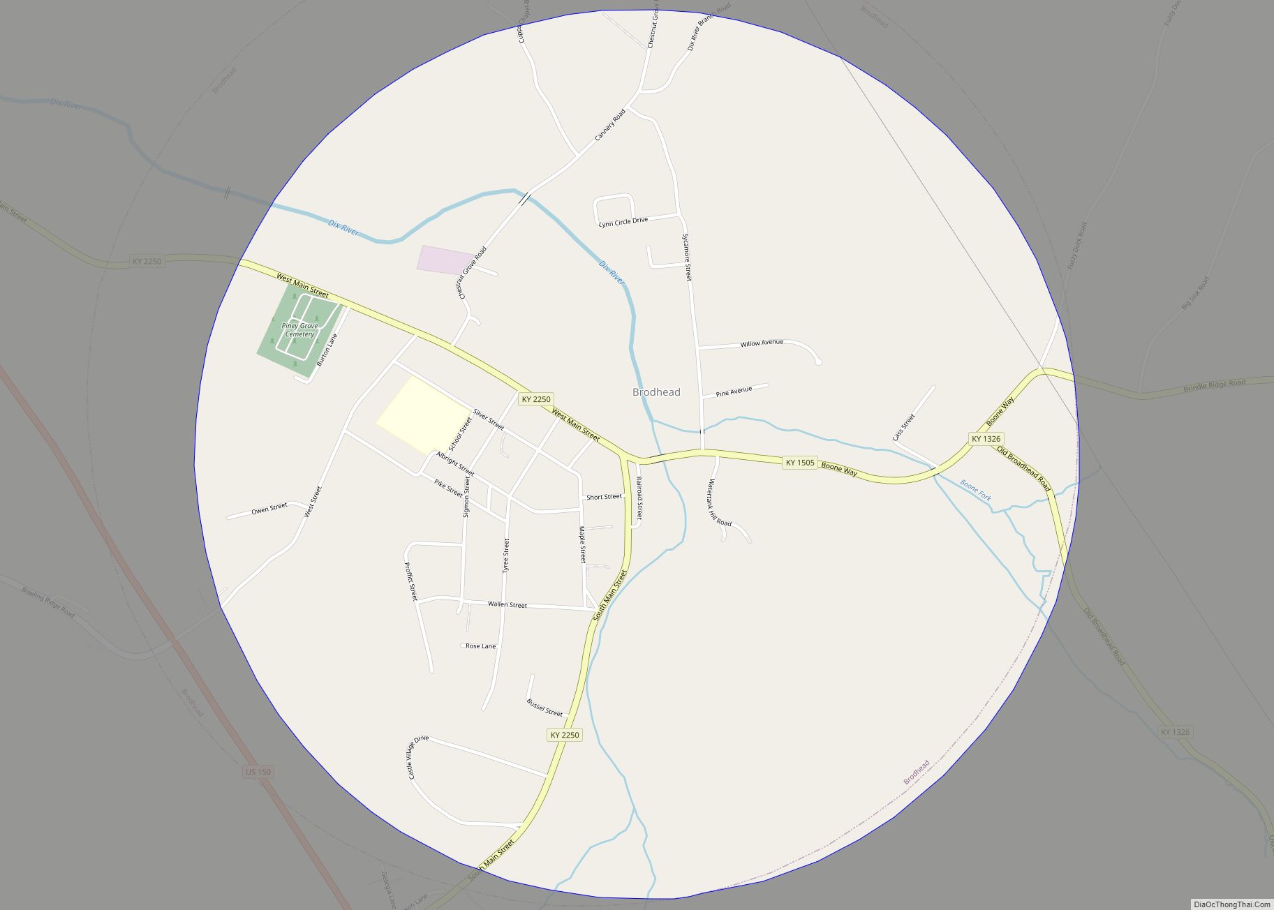
Brodhead Road Map
Brodhead city Satellite Map
Geography
Brodhead is located at 37°24′8″N 84°24′56″W / 37.40222°N 84.41556°W / 37.40222; -84.41556 (37.402360, -84.415679). The city lies at the headwaters of the Dix River in northwestern Rockcastle County. U.S. Route 150 passes through the western part of the city.
According to the United States Census Bureau, the city has a total area of 2.2 square miles (5.7 km), all land.
See also
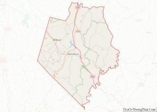
Map of Kentucky State and its subdivision:- Adair
- Allen
- Anderson
- Ballard
- Barren
- Bath
- Bell
- Boone
- Bourbon
- Boyd
- Boyle
- Bracken
- Breathitt
- Breckinridge
- Bullitt
- Butler
- Caldwell
- Calloway
- Campbell
- Carlisle
- Carroll
- Carter
- Casey
- Christian
- Clark
- Clay
- Clinton
- Crittenden
- Cumberland
- Daviess
- Edmonson
- Elliott
- Estill
- Fayette
- Fleming
- Floyd
- Franklin
- Fulton
- Gallatin
- Garrard
- Grant
- Graves
- Grayson
- Green
- Greenup
- Hancock
- Hardin
- Harlan
- Harrison
- Hart
- Henderson
- Henry
- Hickman
- Hopkins
- Jackson
- Jefferson
- Jessamine
- Johnson
- Kenton
- Knott
- Knox
- Larue
- Laurel
- Lawrence
- Lee
- Leslie
- Letcher
- Lewis
- Lincoln
- Livingston
- Logan
- Lyon
- Madison
- Magoffin
- Marion
- Marshall
- Martin
- Mason
- McCracken
- McCreary
- McLean
- Meade
- Menifee
- Mercer
- Metcalfe
- Monroe
- Montgomery
- Morgan
- Muhlenberg
- Nelson
- Nicholas
- Ohio
- Oldham
- Owen
- Owsley
- Pendleton
- Perry
- Pike
- Powell
- Pulaski
- Robertson
- Rockcastle
- Rowan
- Russell
- Scott
- Shelby
- Simpson
- Spencer
- Taylor
- Todd
- Trigg
- Trimble
- Union
- Warren
- Washington
- Wayne
- Webster
- Whitley
- Wolfe
- Woodford
- Alabama
- Alaska
- Arizona
- Arkansas
- California
- Colorado
- Connecticut
- Delaware
- District of Columbia
- Florida
- Georgia
- Hawaii
- Idaho
- Illinois
- Indiana
- Iowa
- Kansas
- Kentucky
- Louisiana
- Maine
- Maryland
- Massachusetts
- Michigan
- Minnesota
- Mississippi
- Missouri
- Montana
- Nebraska
- Nevada
- New Hampshire
- New Jersey
- New Mexico
- New York
- North Carolina
- North Dakota
- Ohio
- Oklahoma
- Oregon
- Pennsylvania
- Rhode Island
- South Carolina
- South Dakota
- Tennessee
- Texas
- Utah
- Vermont
- Virginia
- Washington
- West Virginia
- Wisconsin
- Wyoming


