California is a home rule-class city in Campbell County, Kentucky, United States. The population was 90 at the 2010 census.
| Name: | California city |
|---|---|
| LSAD Code: | 25 |
| LSAD Description: | city (suffix) |
| State: | Kentucky |
| County: | Campbell County |
| Elevation: | 482 ft (147 m) |
| Total Area: | 0.22 sq mi (0.57 km²) |
| Land Area: | 0.22 sq mi (0.57 km²) |
| Water Area: | 0.00 sq mi (0.00 km²) |
| Total Population: | 83 |
| Population Density: | 377.27/sq mi (145.81/km²) |
| ZIP code: | 41007 |
| Area code: | 859 |
| FIPS code: | 2111872 |
| GNISfeature ID: | 0488613 |
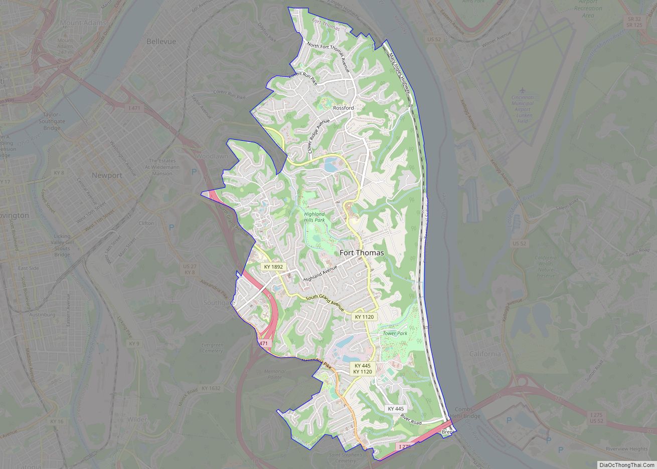
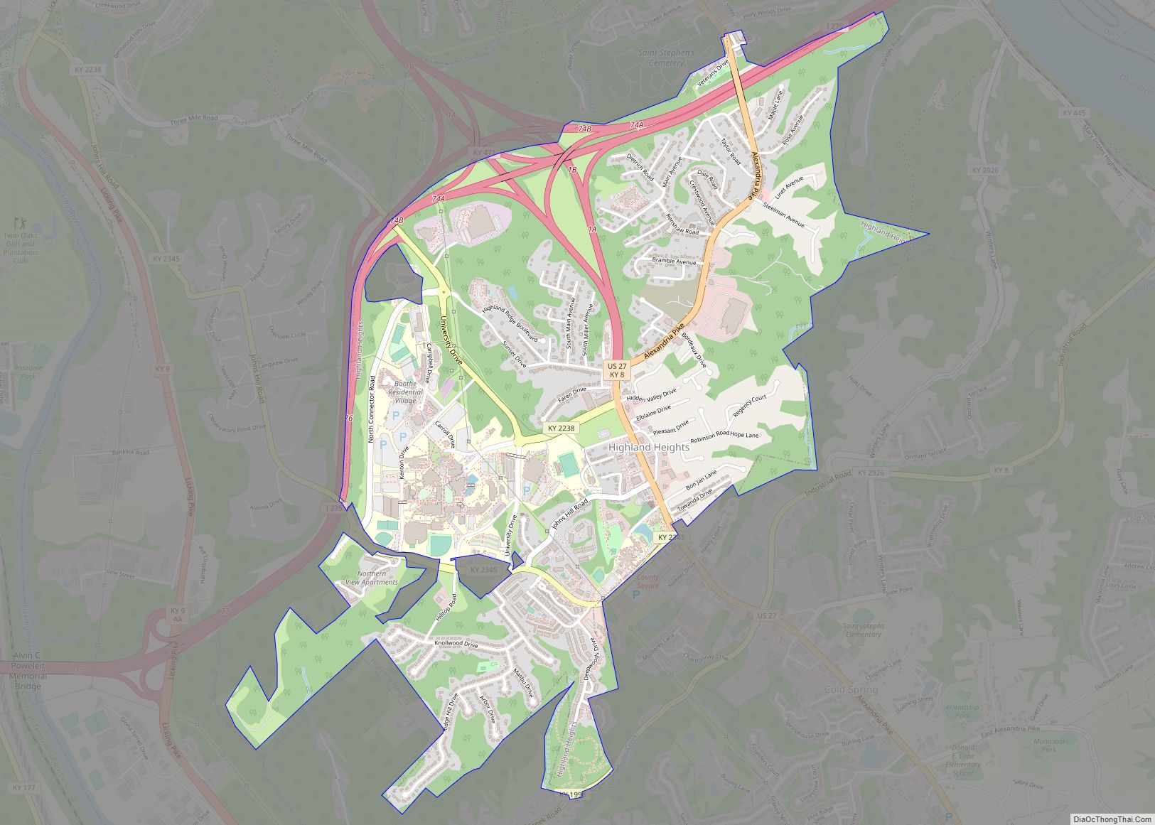
Online Interactive Map
Click on ![]() to view map in "full screen" mode.
to view map in "full screen" mode.
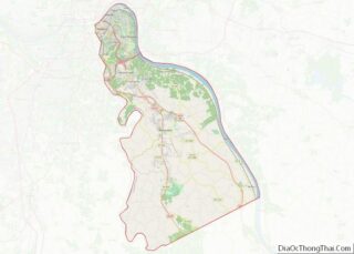
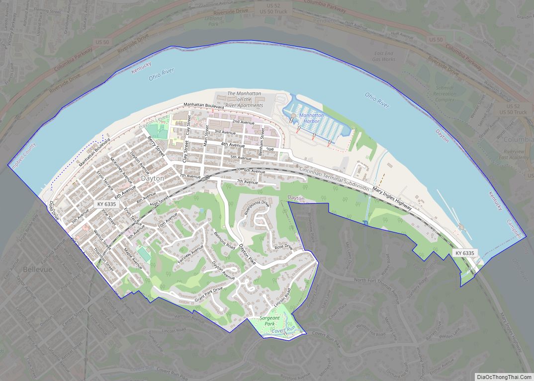
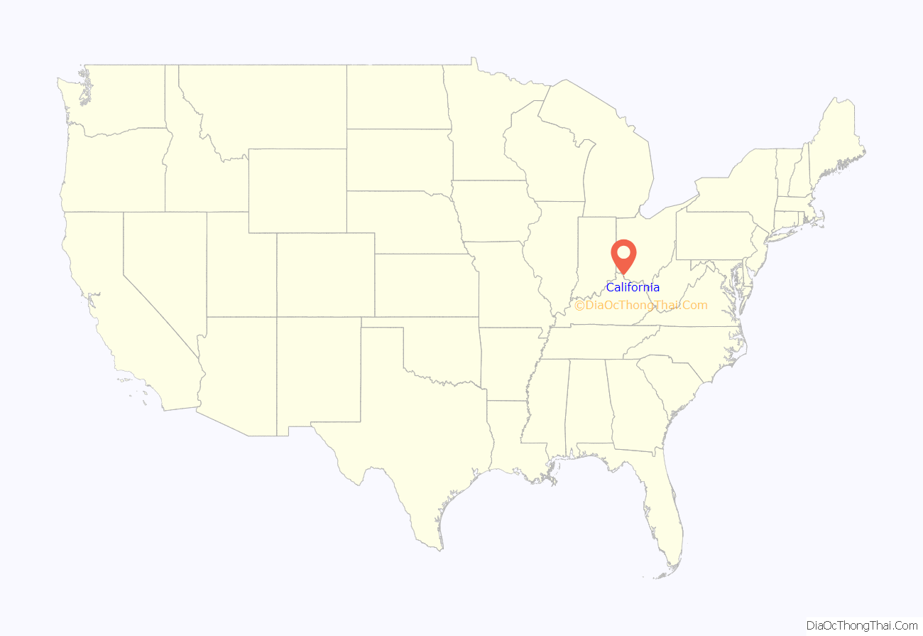
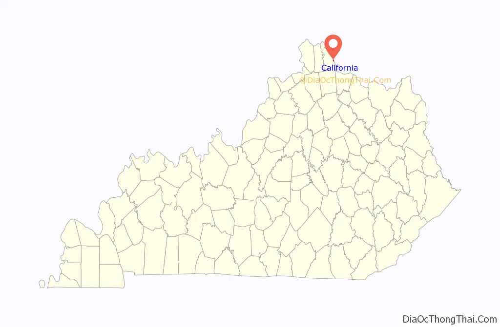
California location map. Where is California city?
History
California, Kentucky was founded ca. 1849, and named from news reports of the contemporaneous California Gold Rush. A post office has been in operation at California since 1852. California was incorporated as a city on February 7, 1874.
The Elijah Herndon House in California is listed on the National Register of Historic Places in Campbell County. Soprano Mary Hissem De Moss was born in California, Kentucky in 1871.
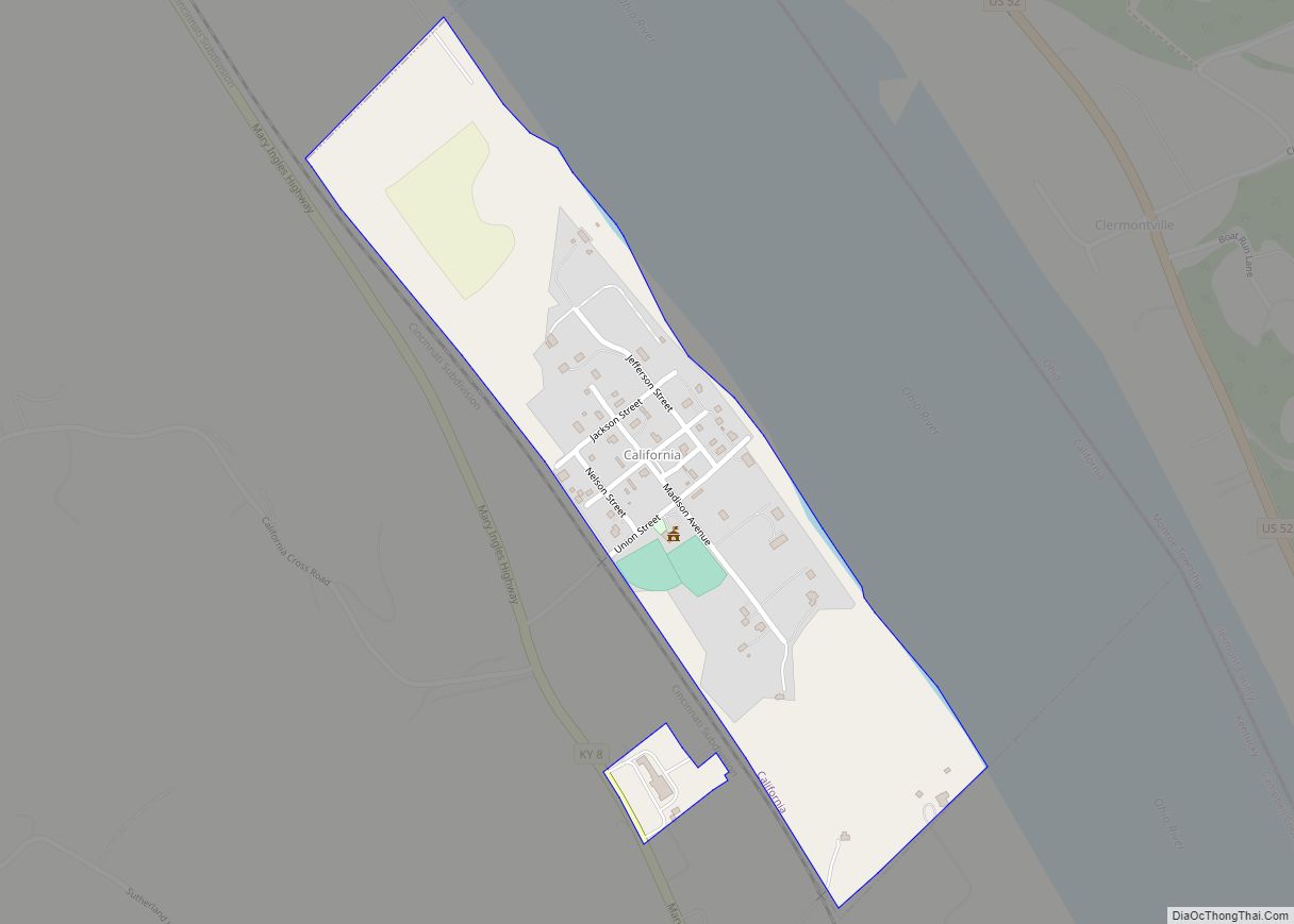
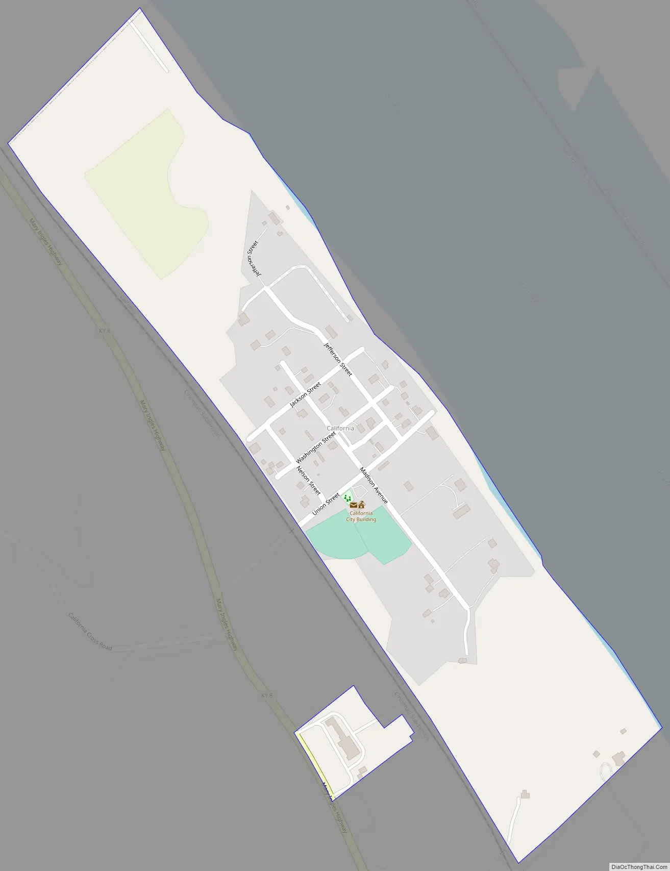
California Road Map
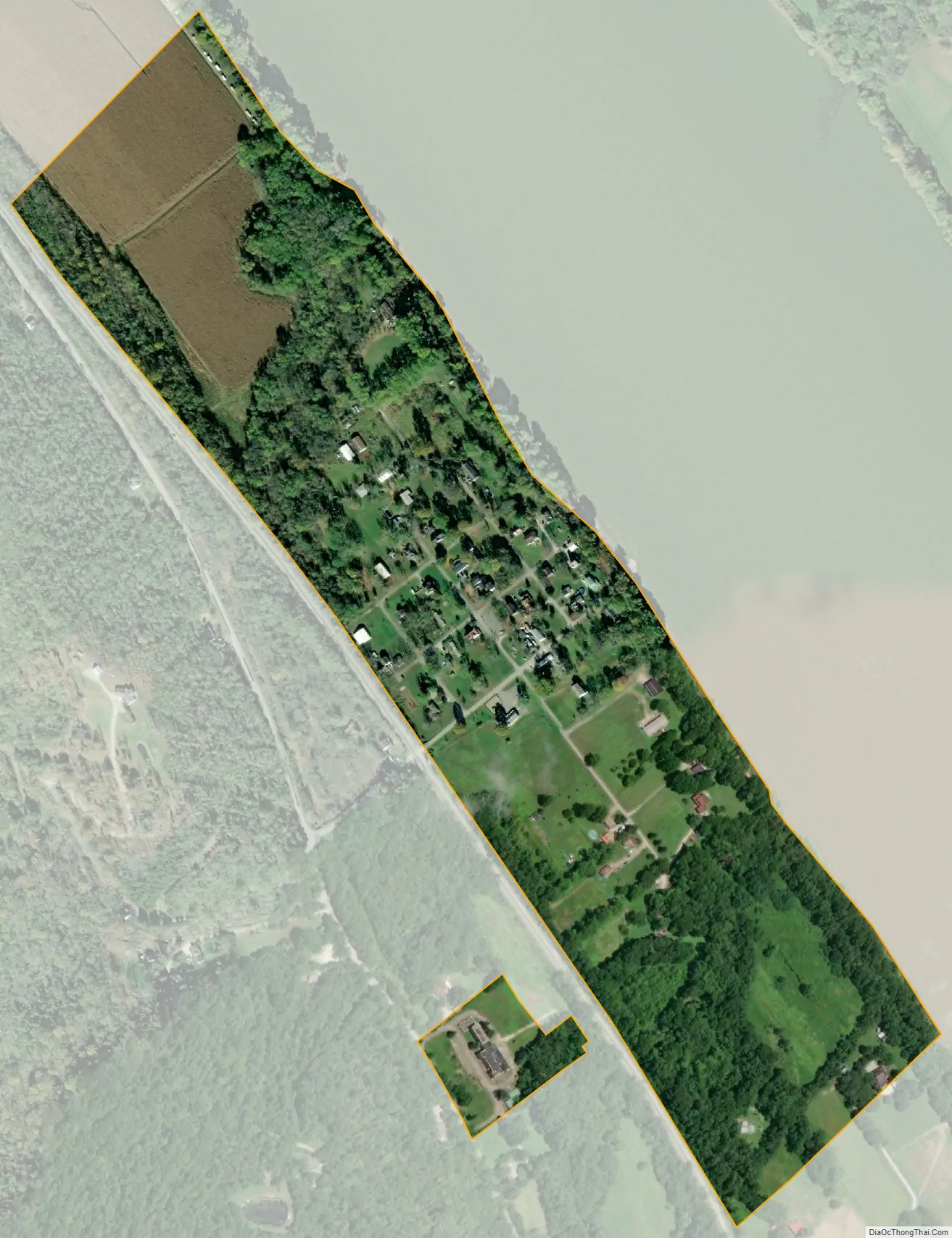
California city Satellite Map
Geography
California is located in southeastern Campbell County at 38°55′9″N 84°15′48″W / 38.91917°N 84.26333°W / 38.91917; -84.26333 (38.919144, −84.263381), along the Ohio River. Kentucky Route 8 passes just west of the community, leading northwest (downstream) along the river 23 miles (37 km) to Covington and southeast (upstream) 21 miles (34 km) to Augusta. Clermontville, in Clermont County, Ohio, is directly across the river from California, but the closest bridge across the river is Interstate 275 14 miles (23 km) downriver.
According to the United States Census Bureau, the city of California has a total area of 0.25 square miles (0.66 km), all land.
See also
Map of Kentucky State and its subdivision:- Adair
- Allen
- Anderson
- Ballard
- Barren
- Bath
- Bell
- Boone
- Bourbon
- Boyd
- Boyle
- Bracken
- Breathitt
- Breckinridge
- Bullitt
- Butler
- Caldwell
- Calloway
- Campbell
- Carlisle
- Carroll
- Carter
- Casey
- Christian
- Clark
- Clay
- Clinton
- Crittenden
- Cumberland
- Daviess
- Edmonson
- Elliott
- Estill
- Fayette
- Fleming
- Floyd
- Franklin
- Fulton
- Gallatin
- Garrard
- Grant
- Graves
- Grayson
- Green
- Greenup
- Hancock
- Hardin
- Harlan
- Harrison
- Hart
- Henderson
- Henry
- Hickman
- Hopkins
- Jackson
- Jefferson
- Jessamine
- Johnson
- Kenton
- Knott
- Knox
- Larue
- Laurel
- Lawrence
- Lee
- Leslie
- Letcher
- Lewis
- Lincoln
- Livingston
- Logan
- Lyon
- Madison
- Magoffin
- Marion
- Marshall
- Martin
- Mason
- McCracken
- McCreary
- McLean
- Meade
- Menifee
- Mercer
- Metcalfe
- Monroe
- Montgomery
- Morgan
- Muhlenberg
- Nelson
- Nicholas
- Ohio
- Oldham
- Owen
- Owsley
- Pendleton
- Perry
- Pike
- Powell
- Pulaski
- Robertson
- Rockcastle
- Rowan
- Russell
- Scott
- Shelby
- Simpson
- Spencer
- Taylor
- Todd
- Trigg
- Trimble
- Union
- Warren
- Washington
- Wayne
- Webster
- Whitley
- Wolfe
- Woodford
- Alabama
- Alaska
- Arizona
- Arkansas
- California
- Colorado
- Connecticut
- Delaware
- District of Columbia
- Florida
- Georgia
- Hawaii
- Idaho
- Illinois
- Indiana
- Iowa
- Kansas
- Kentucky
- Louisiana
- Maine
- Maryland
- Massachusetts
- Michigan
- Minnesota
- Mississippi
- Missouri
- Montana
- Nebraska
- Nevada
- New Hampshire
- New Jersey
- New Mexico
- New York
- North Carolina
- North Dakota
- Ohio
- Oklahoma
- Oregon
- Pennsylvania
- Rhode Island
- South Carolina
- South Dakota
- Tennessee
- Texas
- Utah
- Vermont
- Virginia
- Washington
- West Virginia
- Wisconsin
- Wyoming