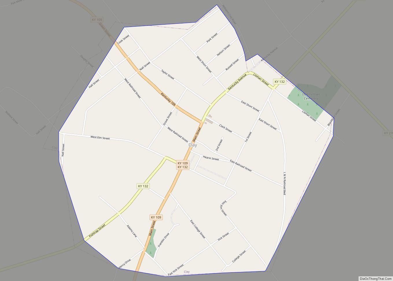
Clay is a home rule-class city in Webster County, Kentucky, in the United States. The population was 1.24K at the 2020 census. Settled in 1837, the city is named for the statesman Henry Clay. In 2022, it became a wet city after a petition put the measure on the ballot.
| Name: | Clay city |
|---|---|
| LSAD Code: | 25 |
| LSAD Description: | city (suffix) |
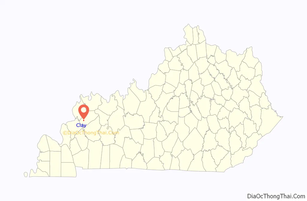
| State: | Kentucky |
| County: | Webster County |
| Elevation: | 381 ft (116 m) |
| Total Area: | 0.87 sq mi (2.25 km²) |
| Land Area: | 0.86 sq mi (2.23 km²) |
| Water Area: | 0.01 sq mi (0.02 km²) |
| Total Population: | 1,031 |
| Population Density: | 1,196.06/sq mi (461.86/km²) |
| ZIP code: | 42404 |
| Area code: | 270 |
| FIPS code: | 2115202 |
| GNISfeature ID: | 0489565 |
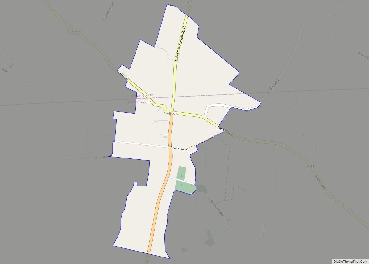
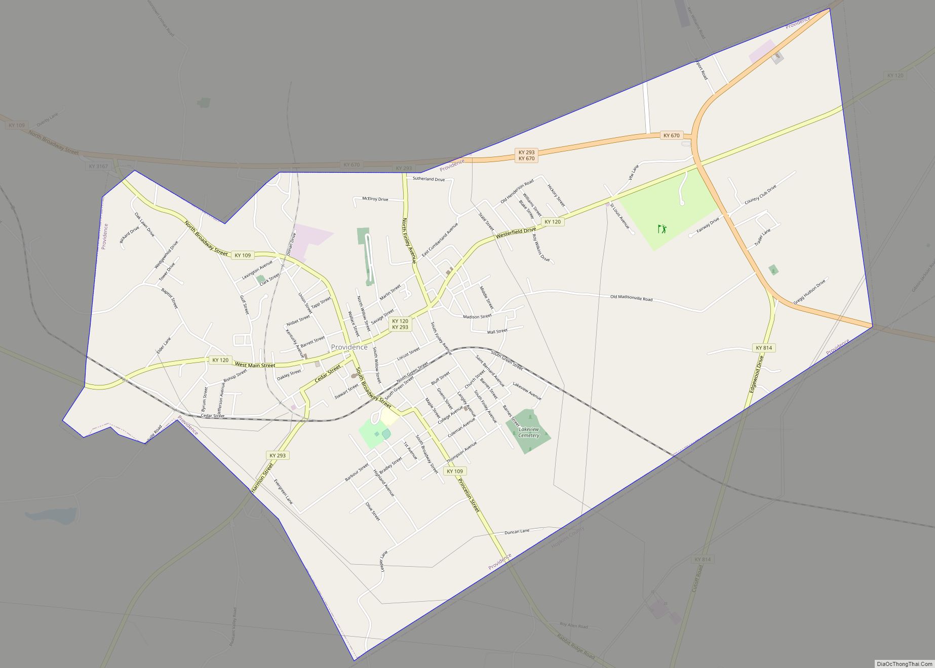
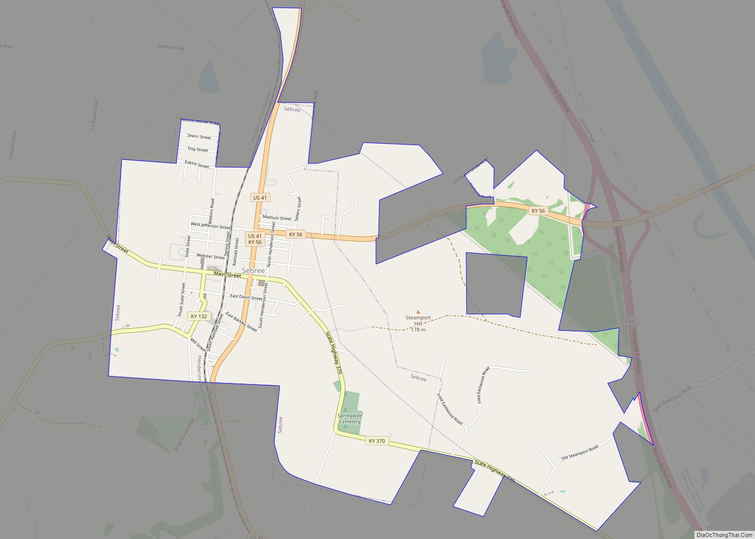
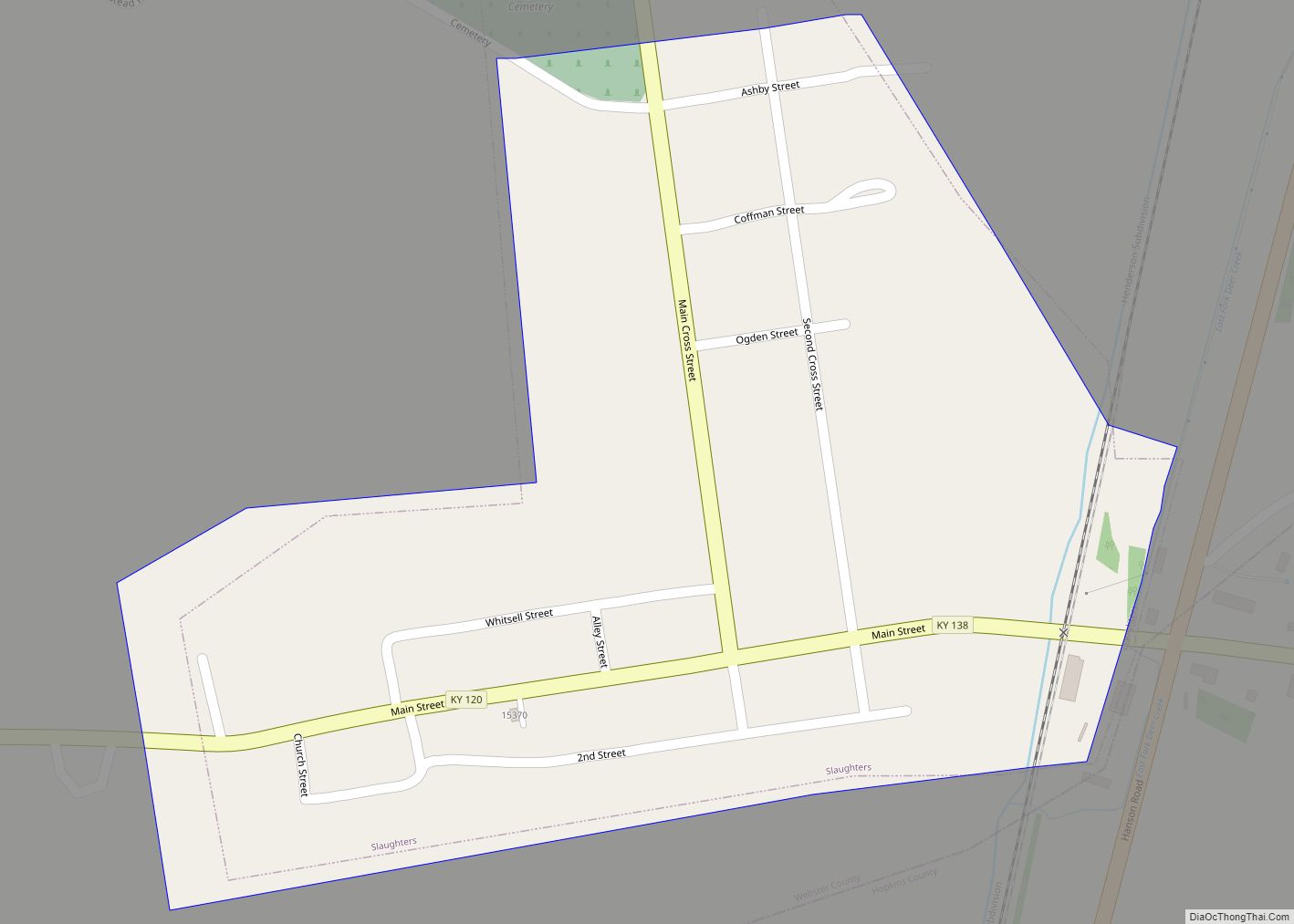
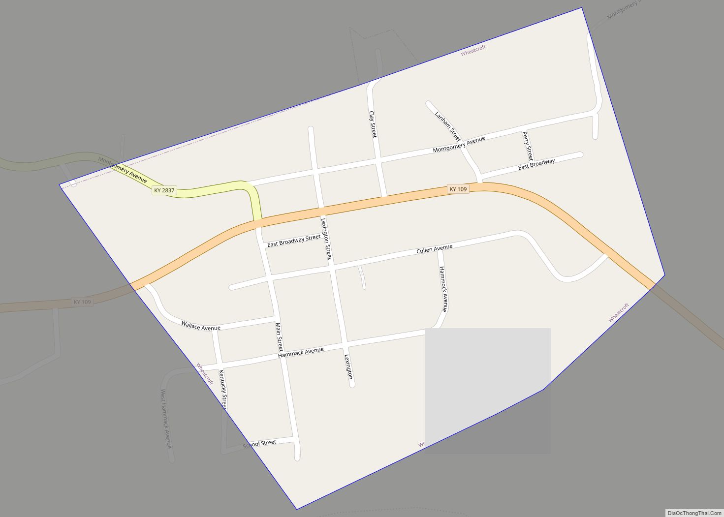
Online Interactive Map
Click on ![]() to view map in "full screen" mode.
to view map in "full screen" mode.
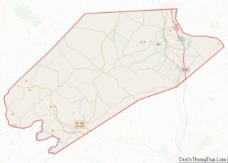
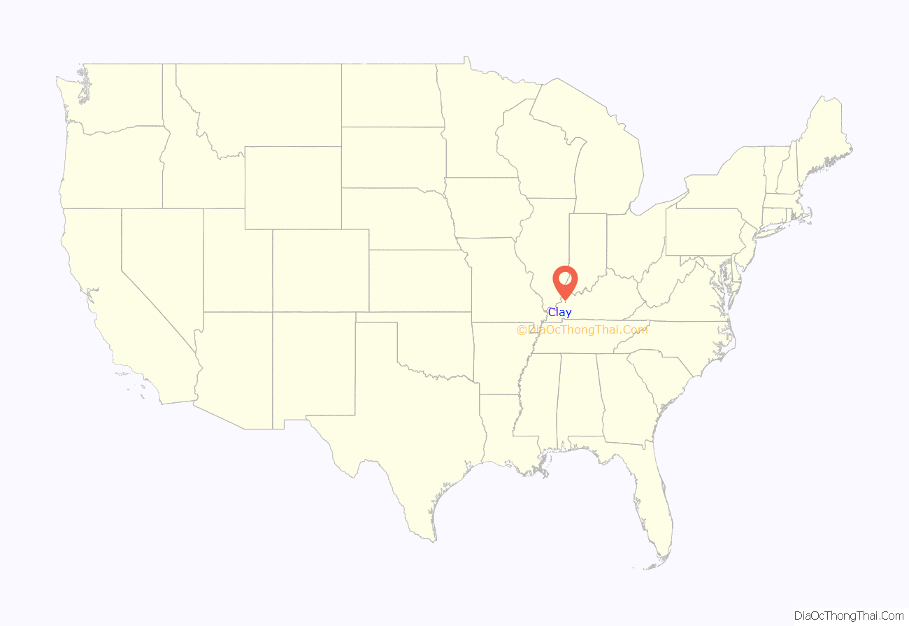
Clay location map. Where is Clay city?
History
A post office was established in 1837 when the community was called Ashland, for Henry Clay’s Lexington estate. It was renamed Clay in 1854. The city incorporated as “Claysville” in 1860, though the name was shortened to “Clay” in 1872.
Clay Road Map
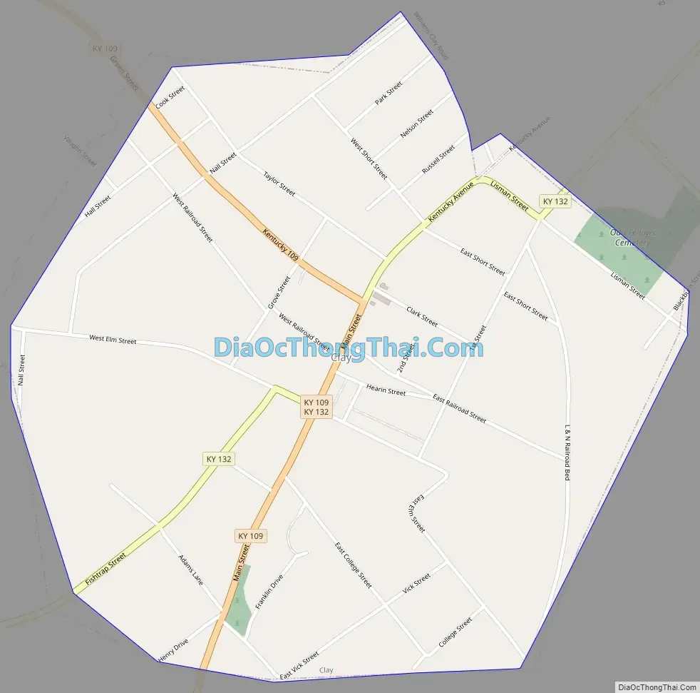
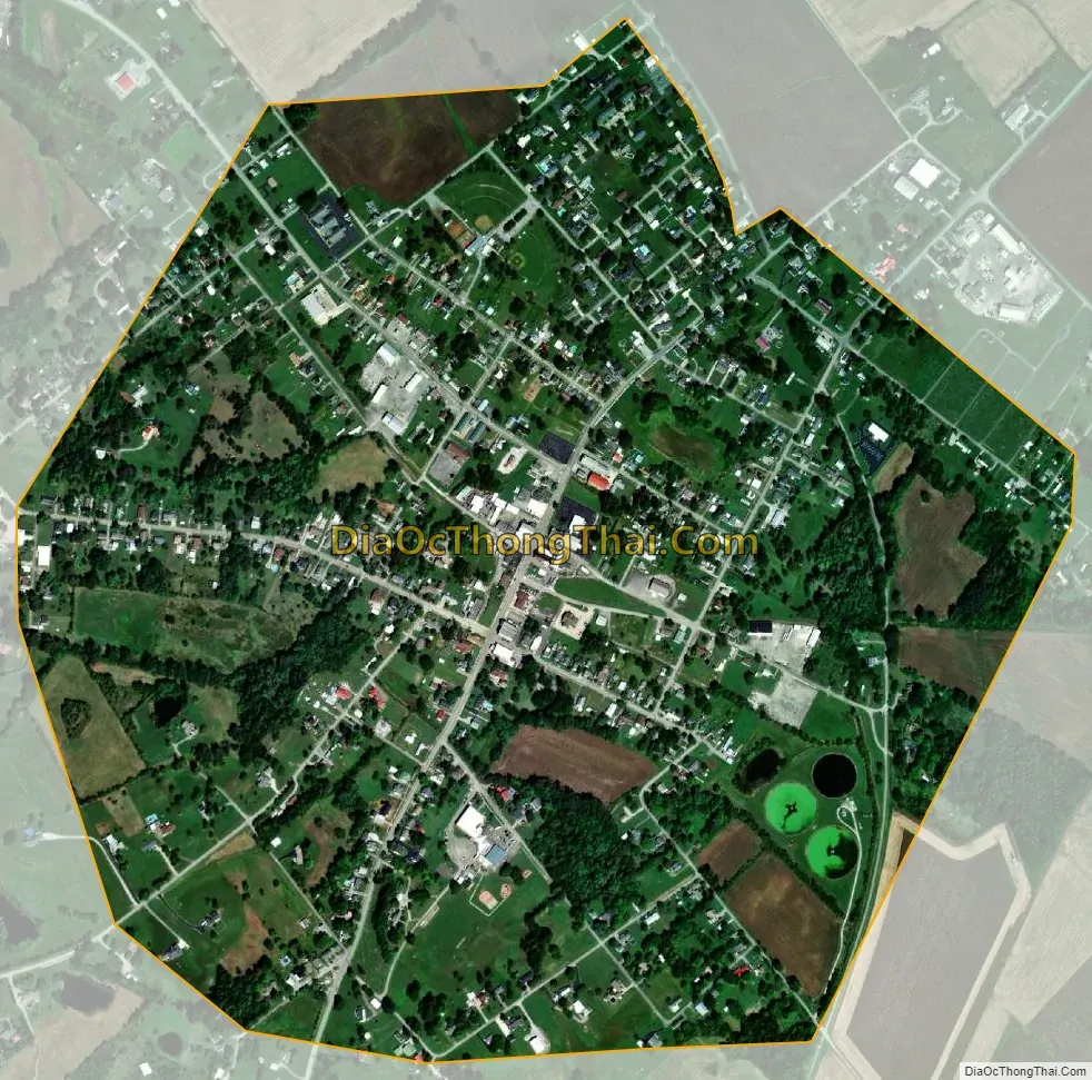
Clay city Satellite Map
Geography
Clay is located at 37°28′41″N 87°49′15″W / 37.477969°N 87.820922°W / 37.477969; -87.820922. The city is concentrated around the intersection of Kentucky Route 109 and Kentucky Route 132, northwest of Providence. The city of Wheatcroft lies just to the west along KY 109.
According to the United States Census Bureau, the city has a total area of 0.9 square miles (2.3 km), all land.
See also
Map of Kentucky State and its subdivision:- Adair
- Allen
- Anderson
- Ballard
- Barren
- Bath
- Bell
- Boone
- Bourbon
- Boyd
- Boyle
- Bracken
- Breathitt
- Breckinridge
- Bullitt
- Butler
- Caldwell
- Calloway
- Campbell
- Carlisle
- Carroll
- Carter
- Casey
- Christian
- Clark
- Clay
- Clinton
- Crittenden
- Cumberland
- Daviess
- Edmonson
- Elliott
- Estill
- Fayette
- Fleming
- Floyd
- Franklin
- Fulton
- Gallatin
- Garrard
- Grant
- Graves
- Grayson
- Green
- Greenup
- Hancock
- Hardin
- Harlan
- Harrison
- Hart
- Henderson
- Henry
- Hickman
- Hopkins
- Jackson
- Jefferson
- Jessamine
- Johnson
- Kenton
- Knott
- Knox
- Larue
- Laurel
- Lawrence
- Lee
- Leslie
- Letcher
- Lewis
- Lincoln
- Livingston
- Logan
- Lyon
- Madison
- Magoffin
- Marion
- Marshall
- Martin
- Mason
- McCracken
- McCreary
- McLean
- Meade
- Menifee
- Mercer
- Metcalfe
- Monroe
- Montgomery
- Morgan
- Muhlenberg
- Nelson
- Nicholas
- Ohio
- Oldham
- Owen
- Owsley
- Pendleton
- Perry
- Pike
- Powell
- Pulaski
- Robertson
- Rockcastle
- Rowan
- Russell
- Scott
- Shelby
- Simpson
- Spencer
- Taylor
- Todd
- Trigg
- Trimble
- Union
- Warren
- Washington
- Wayne
- Webster
- Whitley
- Wolfe
- Woodford
- Alabama
- Alaska
- Arizona
- Arkansas
- California
- Colorado
- Connecticut
- Delaware
- District of Columbia
- Florida
- Georgia
- Hawaii
- Idaho
- Illinois
- Indiana
- Iowa
- Kansas
- Kentucky
- Louisiana
- Maine
- Maryland
- Massachusetts
- Michigan
- Minnesota
- Mississippi
- Missouri
- Montana
- Nebraska
- Nevada
- New Hampshire
- New Jersey
- New Mexico
- New York
- North Carolina
- North Dakota
- Ohio
- Oklahoma
- Oregon
- Pennsylvania
- Rhode Island
- South Carolina
- South Dakota
- Tennessee
- Texas
- Utah
- Vermont
- Virginia
- Washington
- West Virginia
- Wisconsin
- Wyoming