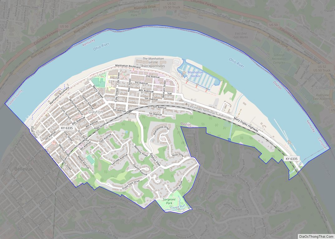
The City of Dayton, Kentucky, is a home rule-class city along a bend of the Ohio River in Campbell County, Kentucky, in the United States. The population was 5,338 at the 2010 census. It is less than 3 miles (5 km) from downtown Cincinnati, Ohio.
| Name: | Dayton city |
|---|---|
| LSAD Code: | 25 |
| LSAD Description: | city (suffix) |
| State: | Kentucky |
| County: | Campbell County |
| Elevation: | 515 ft (157 m) |
| Total Area: | 1.93 sq mi (5.01 km²) |
| Land Area: | 1.30 sq mi (3.36 km²) |
| Water Area: | 0.63 sq mi (1.64 km²) |
| Total Population: | 5,666 |
| Population Density: | 4,361.82/sq mi (1,684.23/km²) |
| ZIP code: | 41073-41074 |
| Area code: | 859 |
| FIPS code: | 2120350 |
| GNISfeature ID: | 0490708 |
| Website: | www.daytonky.com |
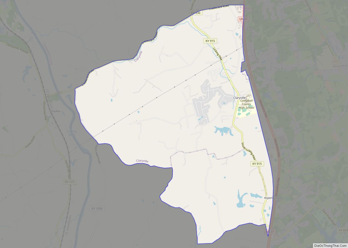
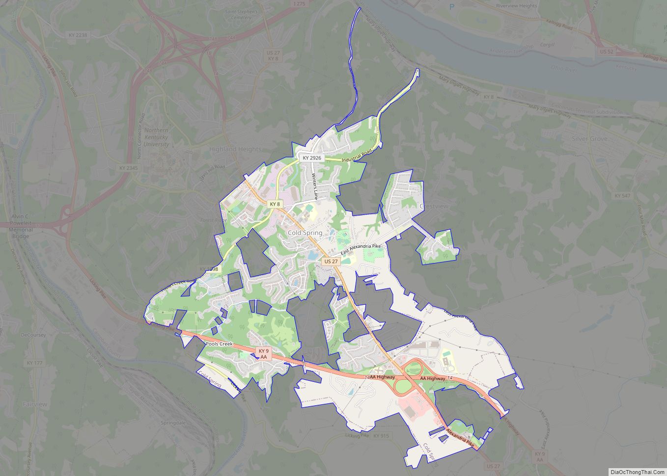
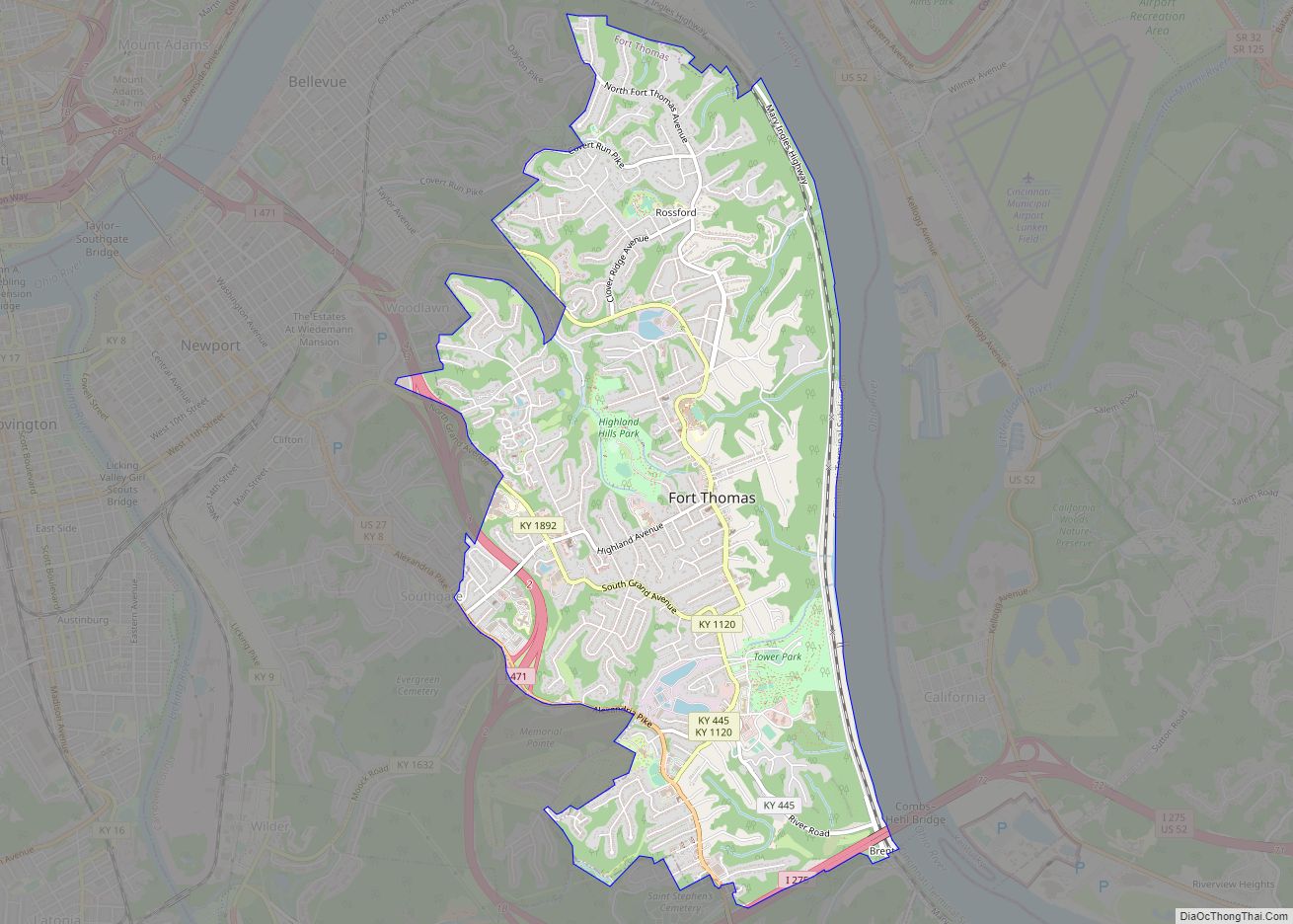
Online Interactive Map
Click on ![]() to view map in "full screen" mode.
to view map in "full screen" mode.
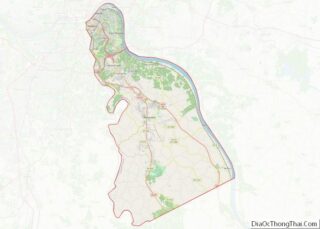
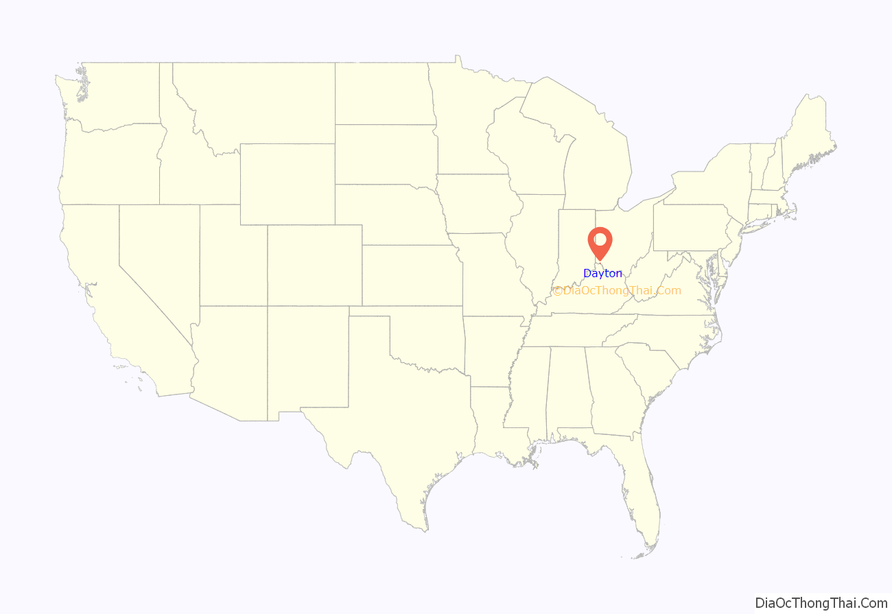
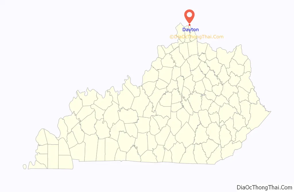
Dayton location map. Where is Dayton city?
History
Dayton had a ferry crossing, established in this area by the early 19th century, at the foot of what is now Dayton Pike.
Two separate cities, Jamestown and Brooklyn, separately incorporated in 1848 and 1849 respectively, were merged and reincorporated in 1867 under the name Dayton in honor of the Ohio town.
Jamestown was incorporated March 1, 1848. According to the state charter, the founding fathers were James Berry, James McArthur and Henry Walker. Berry was a nephew of James Taylor, Jr., founder of Newport, Kentucky.
Dayton has a large sandbar just offshore. It had a popular beach for many years known as the “Manhattan Bathing Beach”, until the US Army Corps of Engineers raised the level of the Ohio River. In 1779, the beach was involved in the Battle of Dayton, KY; the fight involved Simon Girty, Alexander McKee, Col, John Campbell, Col. David Rogers and Capt. Robert Benham. Laws were passed prohibiting nude swimming in the Ohio River during daylight hours and prohibiting dogs from running loose. Violators of the nude swimming law faced a penalty of $1 for the first offense and as much as $5 for subsequent offenses. People also had the right to shoot dogs that were running loose in the city, and bill the owners for carcass removal. In 1919, the private Doyle Country Club was built and is now listed on the National Register of Historic Places.
Floods in 1884, 1913, and 1937 – the latter affecting 80 percent of the city and prompting residents to take shelter in the garages of the former Wadsworth Watch Case Co. – caused many of the companies in the once-booming town to move elsewhere. By the 1950s, many residents, weary of constant flooding, moved out of the town as well. A floodwall was finally completed in late 1981.
Today, Dayton is working on downtown revitalization and a historical survey of the city; it is the first step toward creating a historic district in the city.
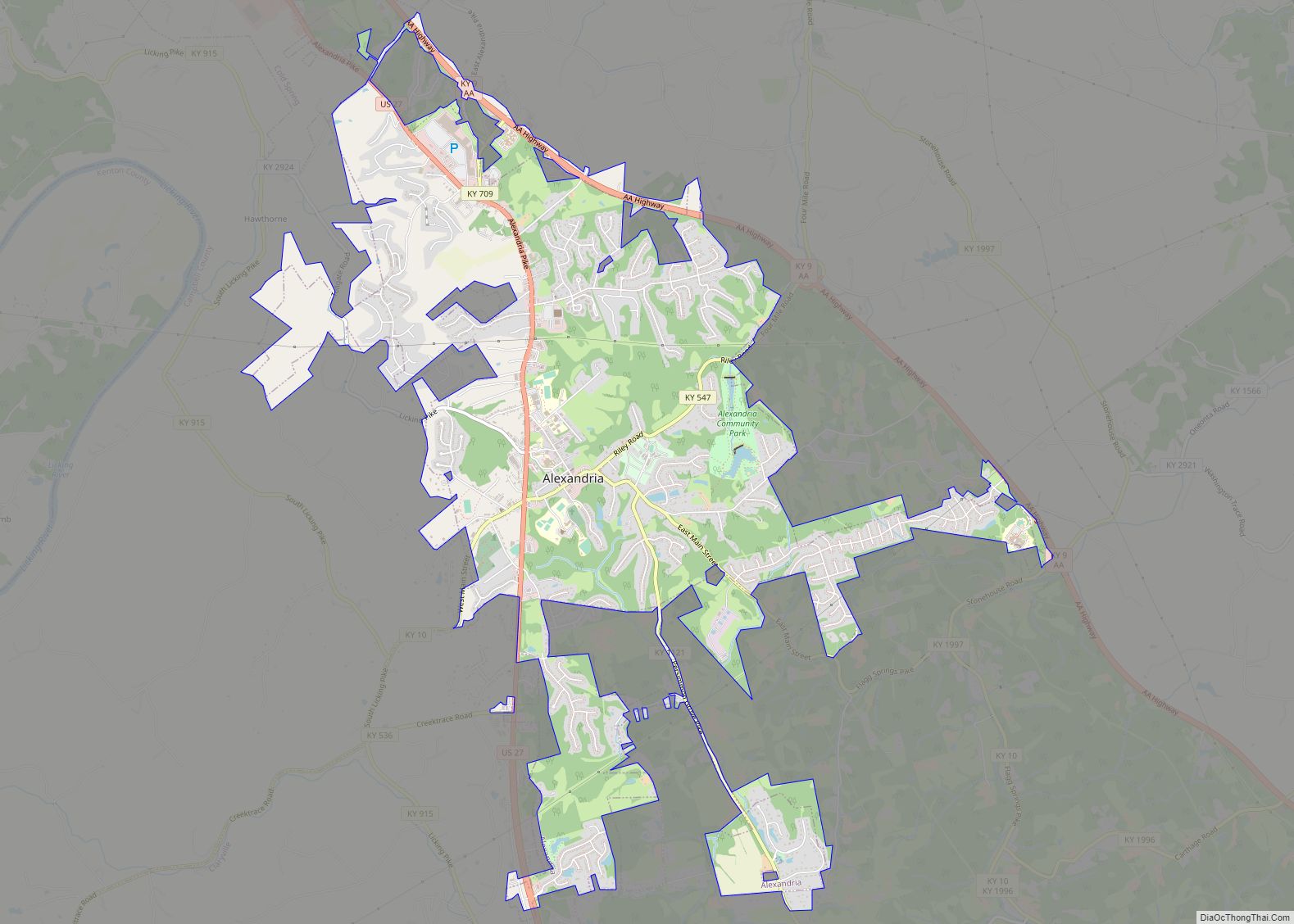
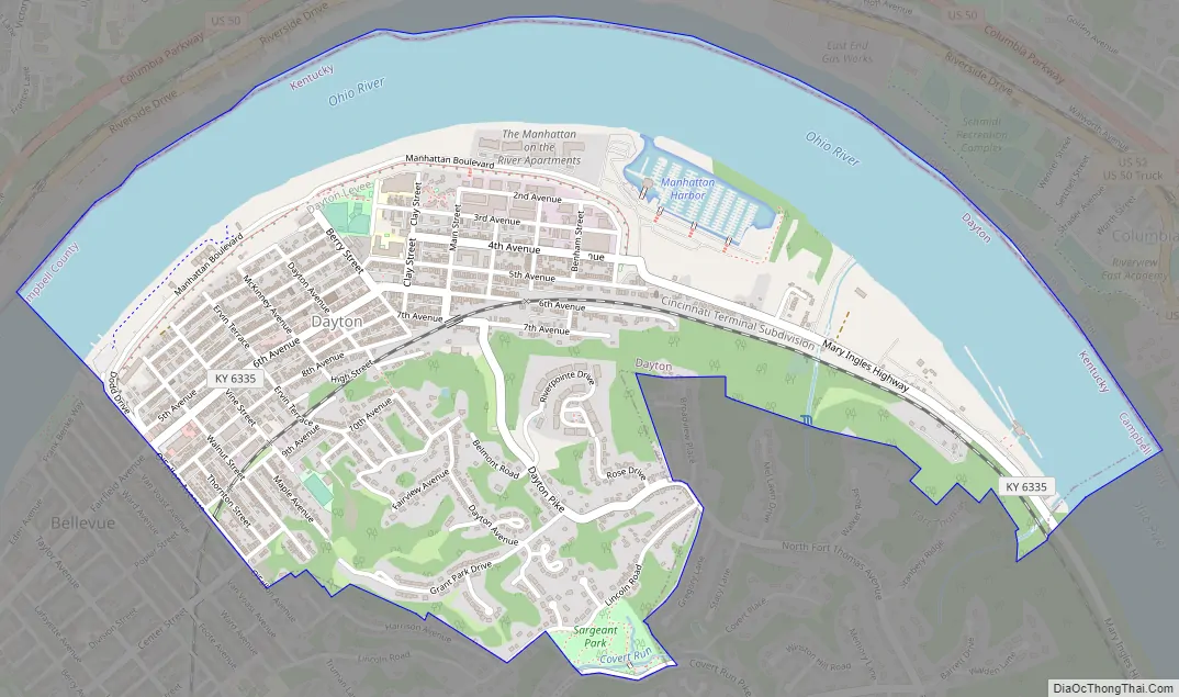
Dayton Road Map
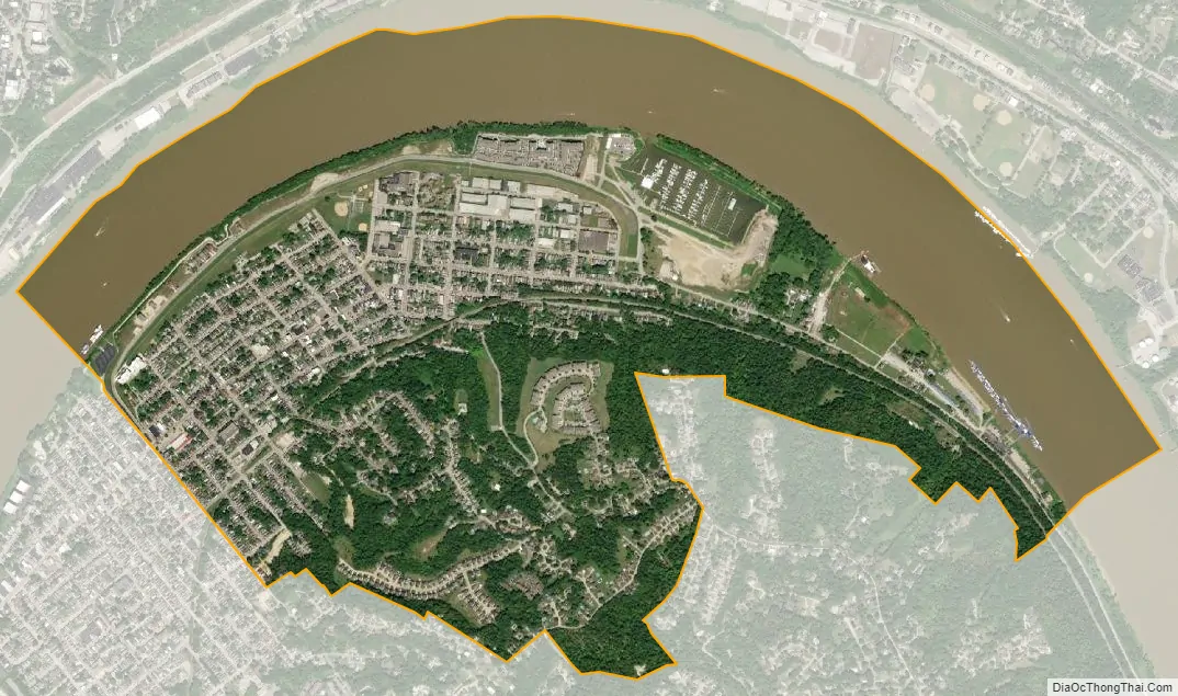
Dayton city Satellite Map
Geography
Dayton is located in the northernmost part of Campbell County at 39°6′42″N 84°28′13″W / 39.11167°N 84.47028°W / 39.11167; -84.47028 (39.111781, −84.470401), on the inside of a bend in the Ohio River. It is the most northernmost community in Kentucky as well. Dayton is bordered by Bellevue to the southwest and Fort Thomas to the southeast. To the north, across the Ohio River, is Cincinnati in Hamilton County, Ohio. The closest bridge across the Ohio is the Daniel Carter Beard Bridge on Interstate 471, connecting Newport with Cincinnati.
According to the United States Census Bureau, Dayton has a total area of 1.9 square miles (5.0 km), of which 1.3 square miles (3.3 km) is land and 0.66 square miles (1.7 km), or 33.61%, is water. Dayton is located within Kentucky’s Outer Bluegrass region in the Upper South.
See also
Map of Kentucky State and its subdivision:- Adair
- Allen
- Anderson
- Ballard
- Barren
- Bath
- Bell
- Boone
- Bourbon
- Boyd
- Boyle
- Bracken
- Breathitt
- Breckinridge
- Bullitt
- Butler
- Caldwell
- Calloway
- Campbell
- Carlisle
- Carroll
- Carter
- Casey
- Christian
- Clark
- Clay
- Clinton
- Crittenden
- Cumberland
- Daviess
- Edmonson
- Elliott
- Estill
- Fayette
- Fleming
- Floyd
- Franklin
- Fulton
- Gallatin
- Garrard
- Grant
- Graves
- Grayson
- Green
- Greenup
- Hancock
- Hardin
- Harlan
- Harrison
- Hart
- Henderson
- Henry
- Hickman
- Hopkins
- Jackson
- Jefferson
- Jessamine
- Johnson
- Kenton
- Knott
- Knox
- Larue
- Laurel
- Lawrence
- Lee
- Leslie
- Letcher
- Lewis
- Lincoln
- Livingston
- Logan
- Lyon
- Madison
- Magoffin
- Marion
- Marshall
- Martin
- Mason
- McCracken
- McCreary
- McLean
- Meade
- Menifee
- Mercer
- Metcalfe
- Monroe
- Montgomery
- Morgan
- Muhlenberg
- Nelson
- Nicholas
- Ohio
- Oldham
- Owen
- Owsley
- Pendleton
- Perry
- Pike
- Powell
- Pulaski
- Robertson
- Rockcastle
- Rowan
- Russell
- Scott
- Shelby
- Simpson
- Spencer
- Taylor
- Todd
- Trigg
- Trimble
- Union
- Warren
- Washington
- Wayne
- Webster
- Whitley
- Wolfe
- Woodford
- Alabama
- Alaska
- Arizona
- Arkansas
- California
- Colorado
- Connecticut
- Delaware
- District of Columbia
- Florida
- Georgia
- Hawaii
- Idaho
- Illinois
- Indiana
- Iowa
- Kansas
- Kentucky
- Louisiana
- Maine
- Maryland
- Massachusetts
- Michigan
- Minnesota
- Mississippi
- Missouri
- Montana
- Nebraska
- Nevada
- New Hampshire
- New Jersey
- New Mexico
- New York
- North Carolina
- North Dakota
- Ohio
- Oklahoma
- Oregon
- Pennsylvania
- Rhode Island
- South Carolina
- South Dakota
- Tennessee
- Texas
- Utah
- Vermont
- Virginia
- Washington
- West Virginia
- Wisconsin
- Wyoming