Edgewood is a home rule–class city in Kenton County, Kentucky, United States. The population was 8,575 at the 2010 census, down from 9,400 in 2000. It was named for an early homestead in Walker Estates.
Edgewood was incorporated by act of the state assembly on November 15, 1948. Part of what was early Edgewood was called South Ft Mitchell. In 1968, two nearby cities merged – Summit Hills Heights (inc. 1962) and St. Pius Heights (inc. 1965). The new city government began operation on January 1, 1969.
| Name: | Edgewood city |
|---|---|
| LSAD Code: | 25 |
| LSAD Description: | city (suffix) |
| State: | Kentucky |
| County: | Kenton County |
| Elevation: | 863 ft (263 m) |
| Total Area: | 4.29 sq mi (11.10 km²) |
| Land Area: | 4.26 sq mi (11.04 km²) |
| Water Area: | 0.02 sq mi (0.06 km²) |
| Total Population: | 8,435 |
| Population Density: | 1,979.12/sq mi (764.15/km²) |
| Area code: | 859 |
| FIPS code: | 2123932 |
| GNISfeature ID: | 0491562 |
| Website: | https://edgewoodky.gov/ |
Online Interactive Map
Click on ![]() to view map in "full screen" mode.
to view map in "full screen" mode.
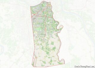
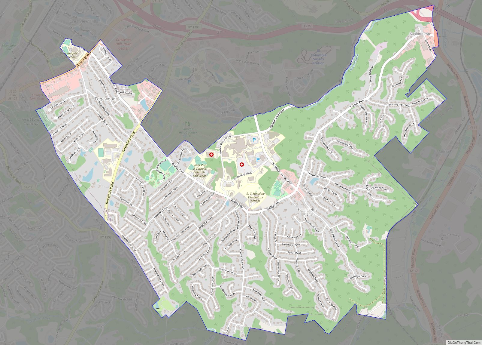
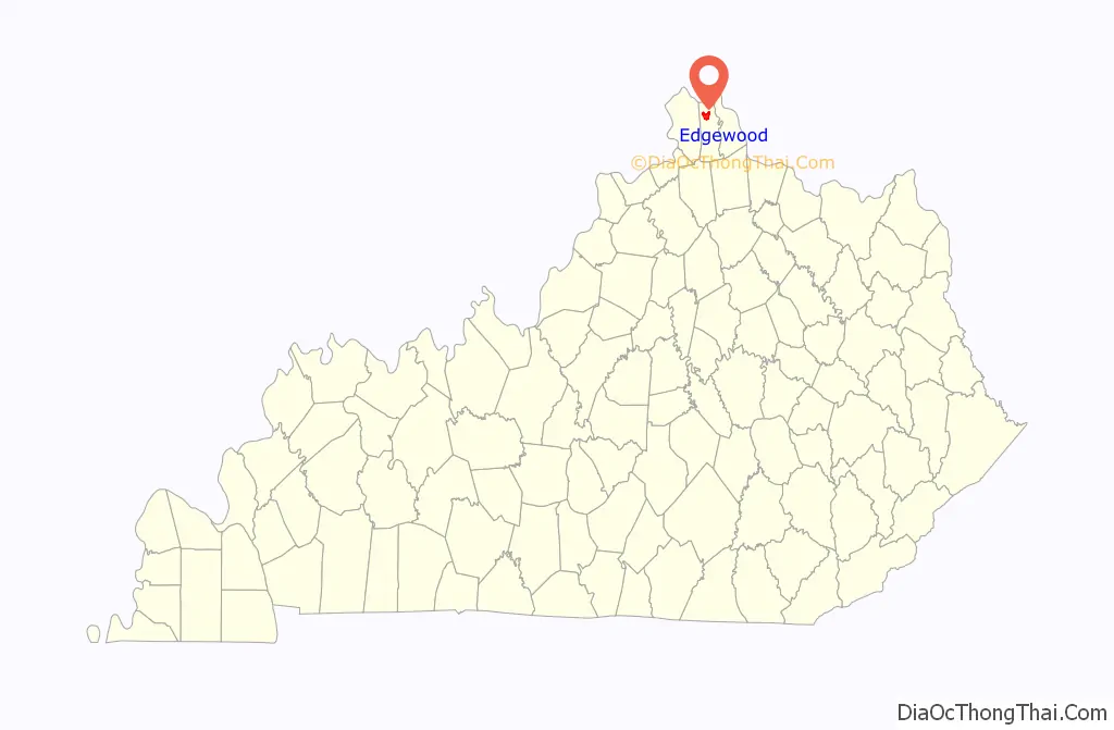
Edgewood location map. Where is Edgewood city?

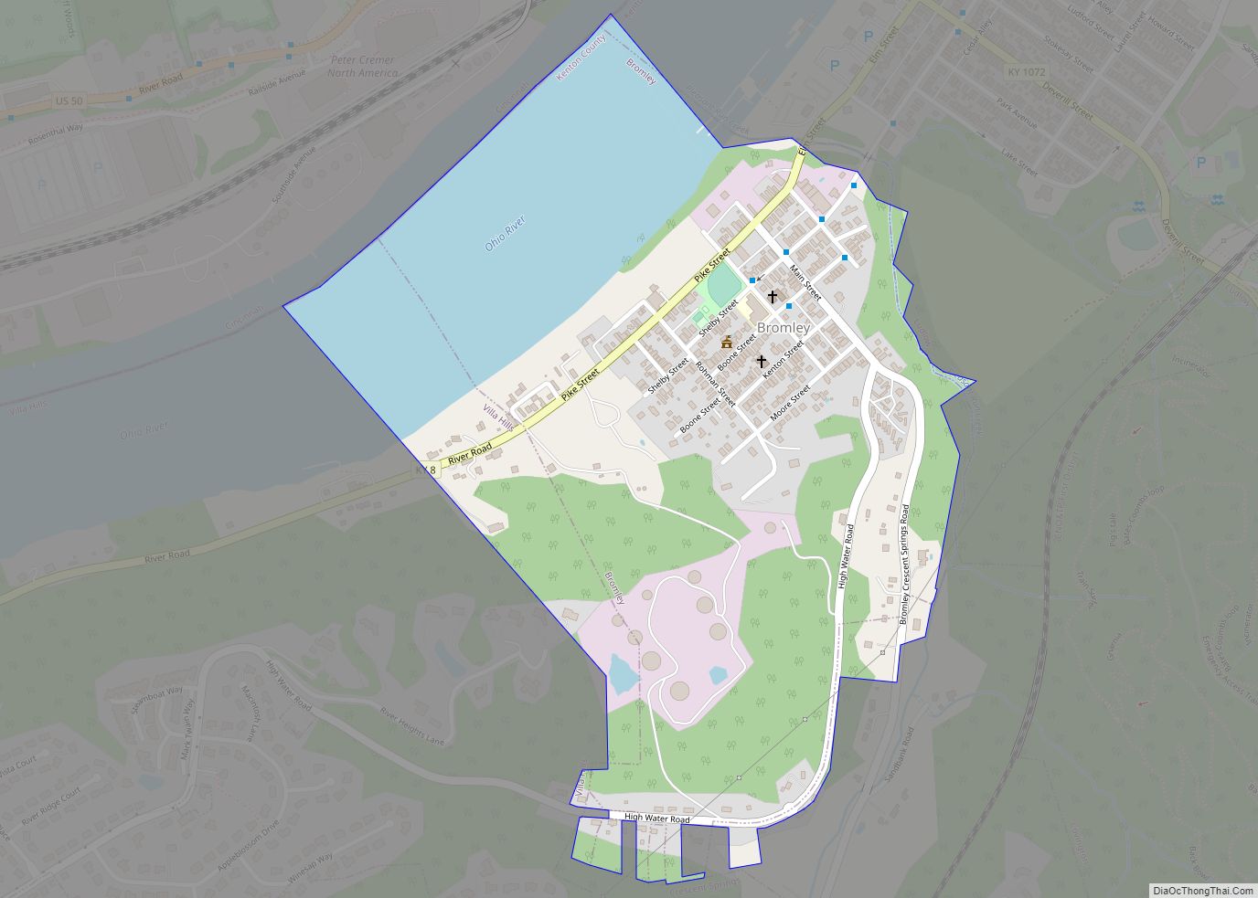
Edgewood Road Map
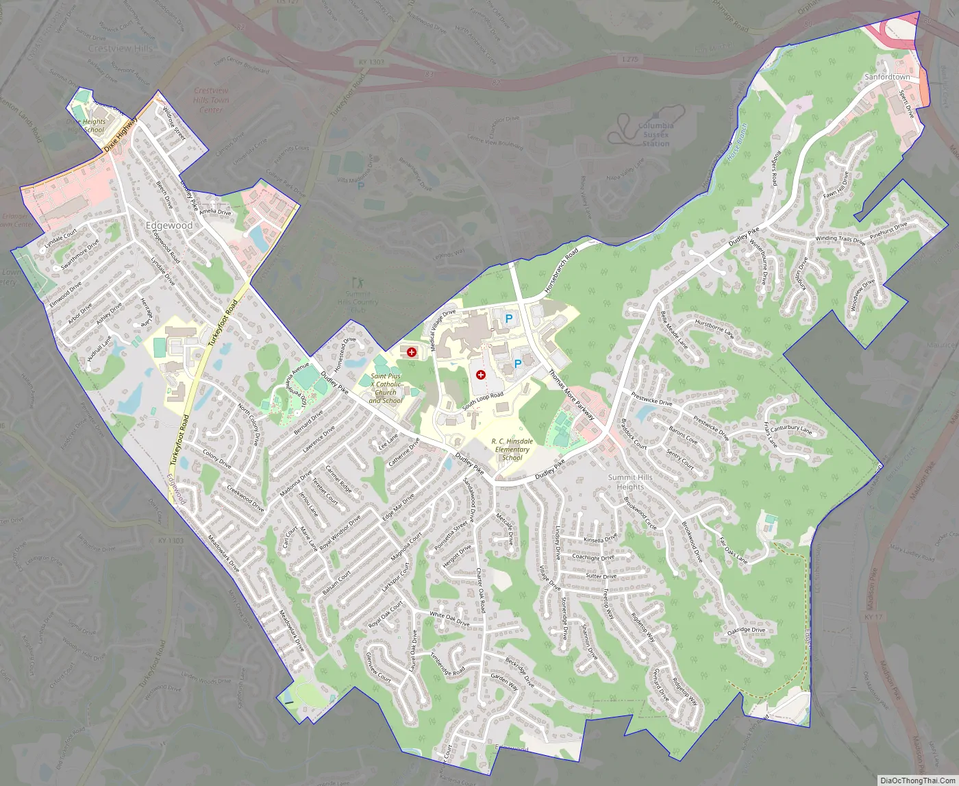
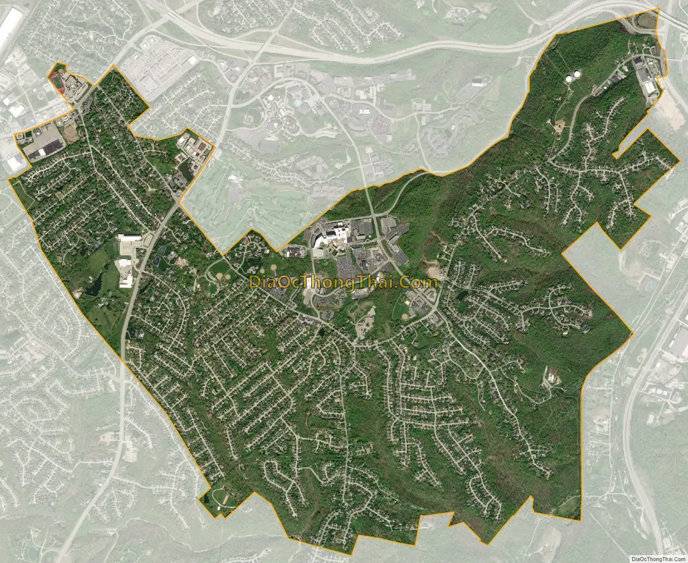
Edgewood city Satellite Map
Geography
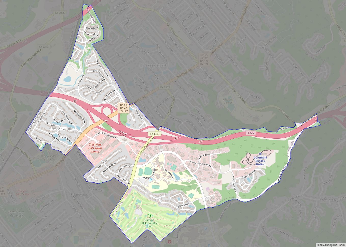
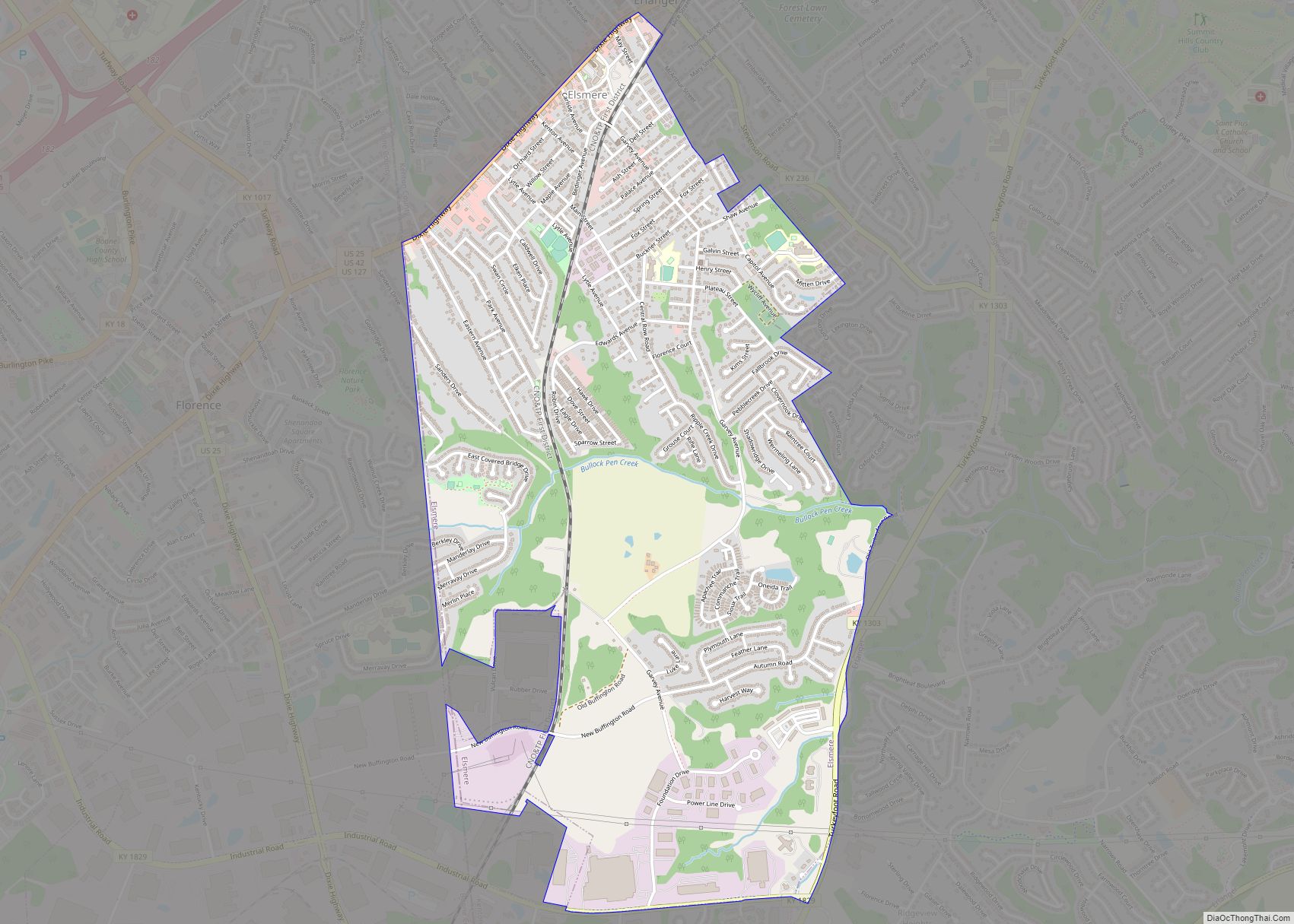
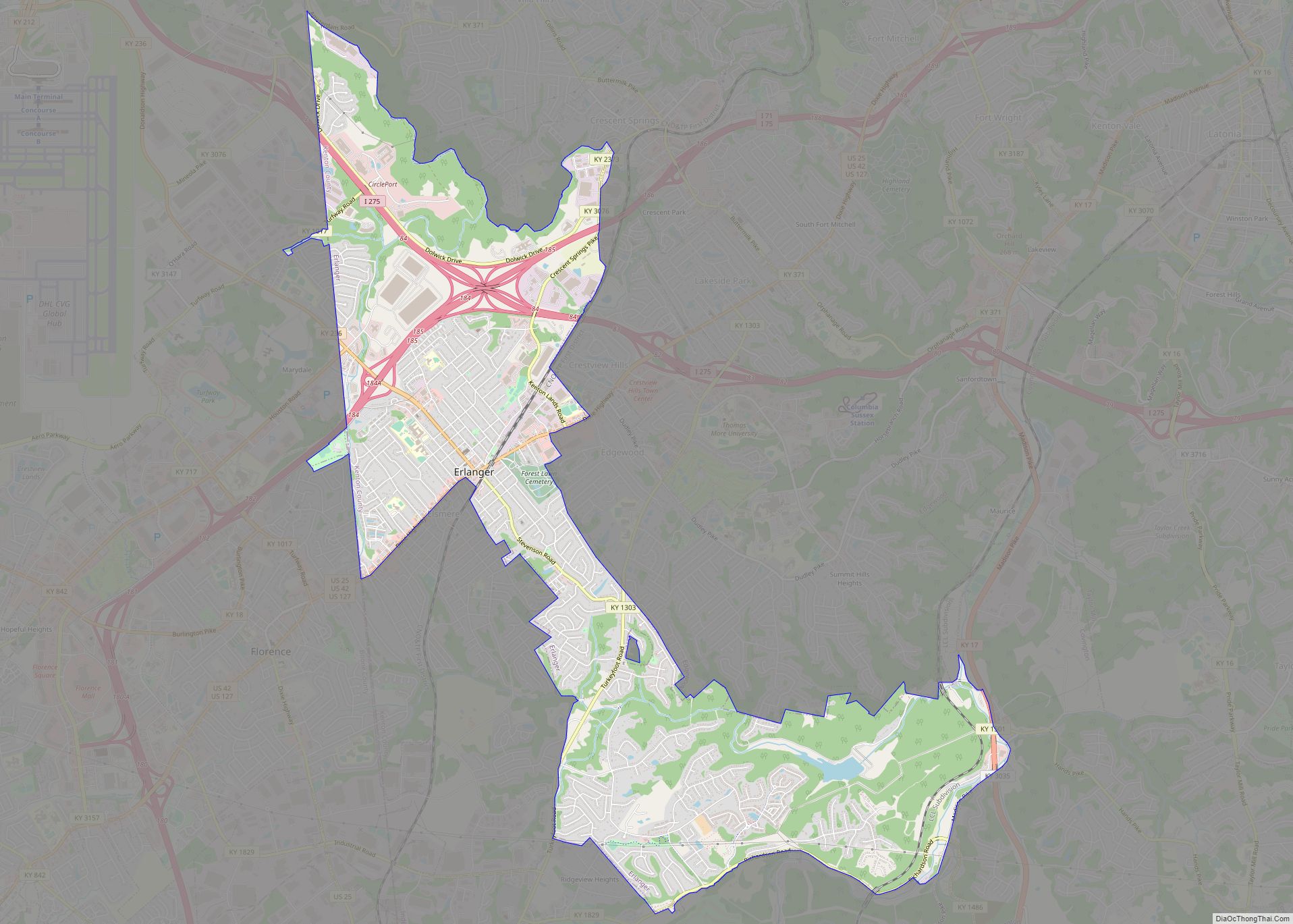
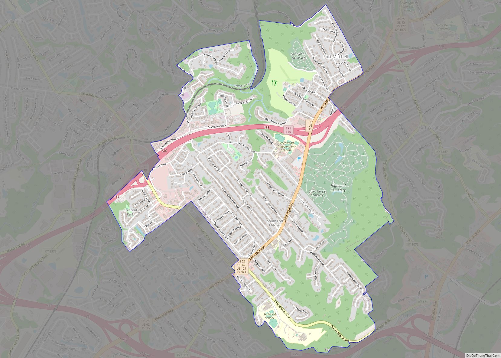
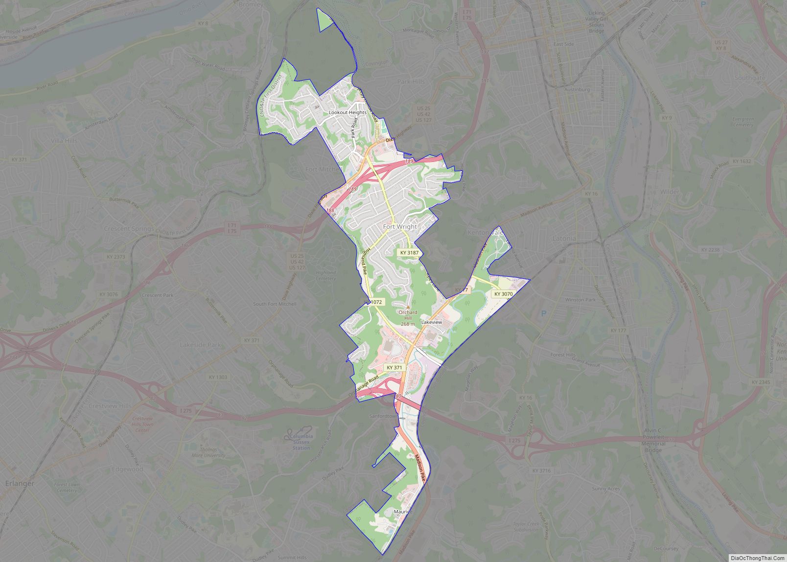
Edgewood is located in north-central Kenton County at 39°0′19″N 84°33′57″W / 39.00528°N 84.56583°W / 39.00528; -84.56583 (39.005153, −84.565780). It is bordered to the north by Crestview Hills, to the northeast by Fort Wright, to the east by Covington, and to the south and west by Erlanger. The Dixie Highway (here bearing U.S. Routes 25, 42, and 127) runs through the northwestern end of the city, leading northeast 6 miles (10 km) to the center of Covington and southwest 3 miles (5 km) to Florence. Interstate 275, the beltway around Cincinnati, passes just north of the Edgewood city limits, with access from Exit 83 (the Dixie Highway).
According to the United States Census Bureau, Edgewood has a total area of 4.2 square miles (11.0 km), of which 0.03 square miles (0.07 km), or 0.65%, are water.
See also
Map of Kentucky State and its subdivision:- Adair
- Allen
- Anderson
- Ballard
- Barren
- Bath
- Bell
- Boone
- Bourbon
- Boyd
- Boyle
- Bracken
- Breathitt
- Breckinridge
- Bullitt
- Butler
- Caldwell
- Calloway
- Campbell
- Carlisle
- Carroll
- Carter
- Casey
- Christian
- Clark
- Clay
- Clinton
- Crittenden
- Cumberland
- Daviess
- Edmonson
- Elliott
- Estill
- Fayette
- Fleming
- Floyd
- Franklin
- Fulton
- Gallatin
- Garrard
- Grant
- Graves
- Grayson
- Green
- Greenup
- Hancock
- Hardin
- Harlan
- Harrison
- Hart
- Henderson
- Henry
- Hickman
- Hopkins
- Jackson
- Jefferson
- Jessamine
- Johnson
- Kenton
- Knott
- Knox
- Larue
- Laurel
- Lawrence
- Lee
- Leslie
- Letcher
- Lewis
- Lincoln
- Livingston
- Logan
- Lyon
- Madison
- Magoffin
- Marion
- Marshall
- Martin
- Mason
- McCracken
- McCreary
- McLean
- Meade
- Menifee
- Mercer
- Metcalfe
- Monroe
- Montgomery
- Morgan
- Muhlenberg
- Nelson
- Nicholas
- Ohio
- Oldham
- Owen
- Owsley
- Pendleton
- Perry
- Pike
- Powell
- Pulaski
- Robertson
- Rockcastle
- Rowan
- Russell
- Scott
- Shelby
- Simpson
- Spencer
- Taylor
- Todd
- Trigg
- Trimble
- Union
- Warren
- Washington
- Wayne
- Webster
- Whitley
- Wolfe
- Woodford
- Alabama
- Alaska
- Arizona
- Arkansas
- California
- Colorado
- Connecticut
- Delaware
- District of Columbia
- Florida
- Georgia
- Hawaii
- Idaho
- Illinois
- Indiana
- Iowa
- Kansas
- Kentucky
- Louisiana
- Maine
- Maryland
- Massachusetts
- Michigan
- Minnesota
- Mississippi
- Missouri
- Montana
- Nebraska
- Nevada
- New Hampshire
- New Jersey
- New Mexico
- New York
- North Carolina
- North Dakota
- Ohio
- Oklahoma
- Oregon
- Pennsylvania
- Rhode Island
- South Carolina
- South Dakota
- Tennessee
- Texas
- Utah
- Vermont
- Virginia
- Washington
- West Virginia
- Wisconsin
- Wyoming