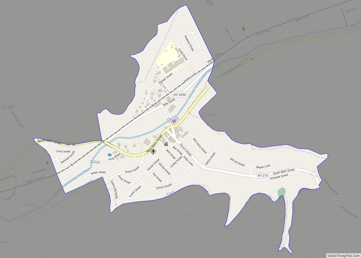
Evarts is a home rule-class city in Harlan County, Kentucky, in the United States. The post office was opened on February 9, 1855, and named for one of the area’s pioneer families. The city was formally incorporated by the state assembly in 1921. The population was 962 at the 2010 census.
| Name: | Evarts city |
|---|---|
| LSAD Code: | 25 |
| LSAD Description: | city (suffix) |
| State: | Kentucky |
| County: | Harlan County |
| Incorporated: | 1921 |
| Elevation: | 1,575 ft (480 m) |
| Total Area: | 0.40 sq mi (1.03 km²) |
| Land Area: | 0.38 sq mi (0.99 km²) |
| Water Area: | 0.02 sq mi (0.04 km²) |
| Total Population: | 859 |
| Population Density: | 2,248.69/sq mi (867.11/km²) |
| ZIP code: | 40828 |
| Area code: | 606 |
| FIPS code: | 2125606 |
| GNISfeature ID: | 0491839 |
| Website: | evartskentucky.com |
Online Interactive Map
Click on ![]() to view map in "full screen" mode.
to view map in "full screen" mode.
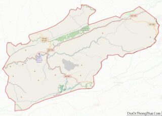
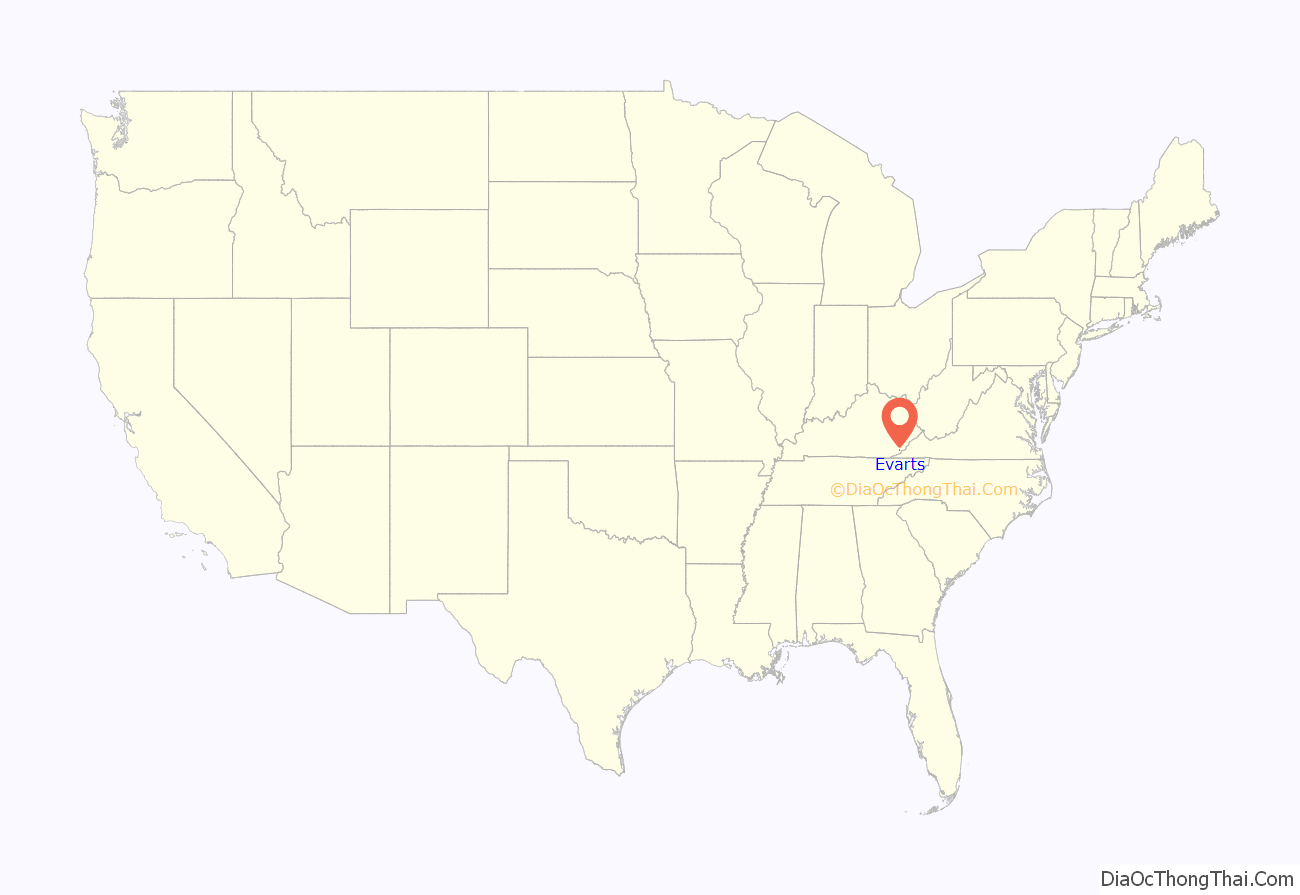
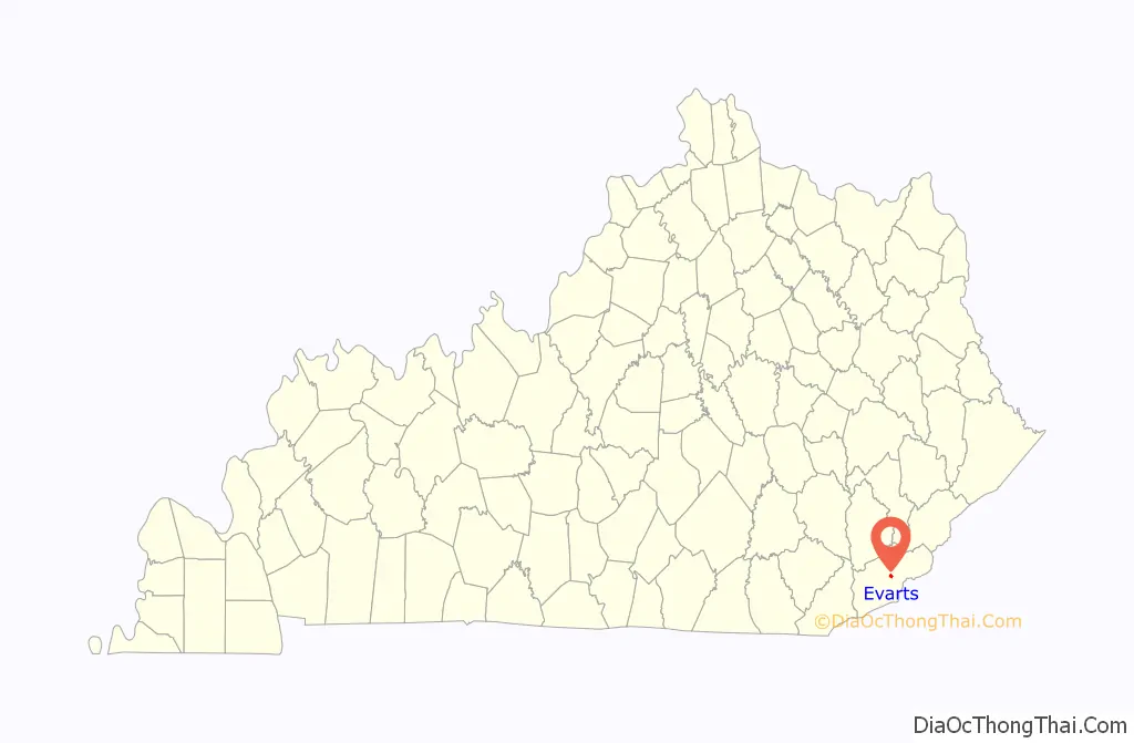
Evarts location map. Where is Evarts city?
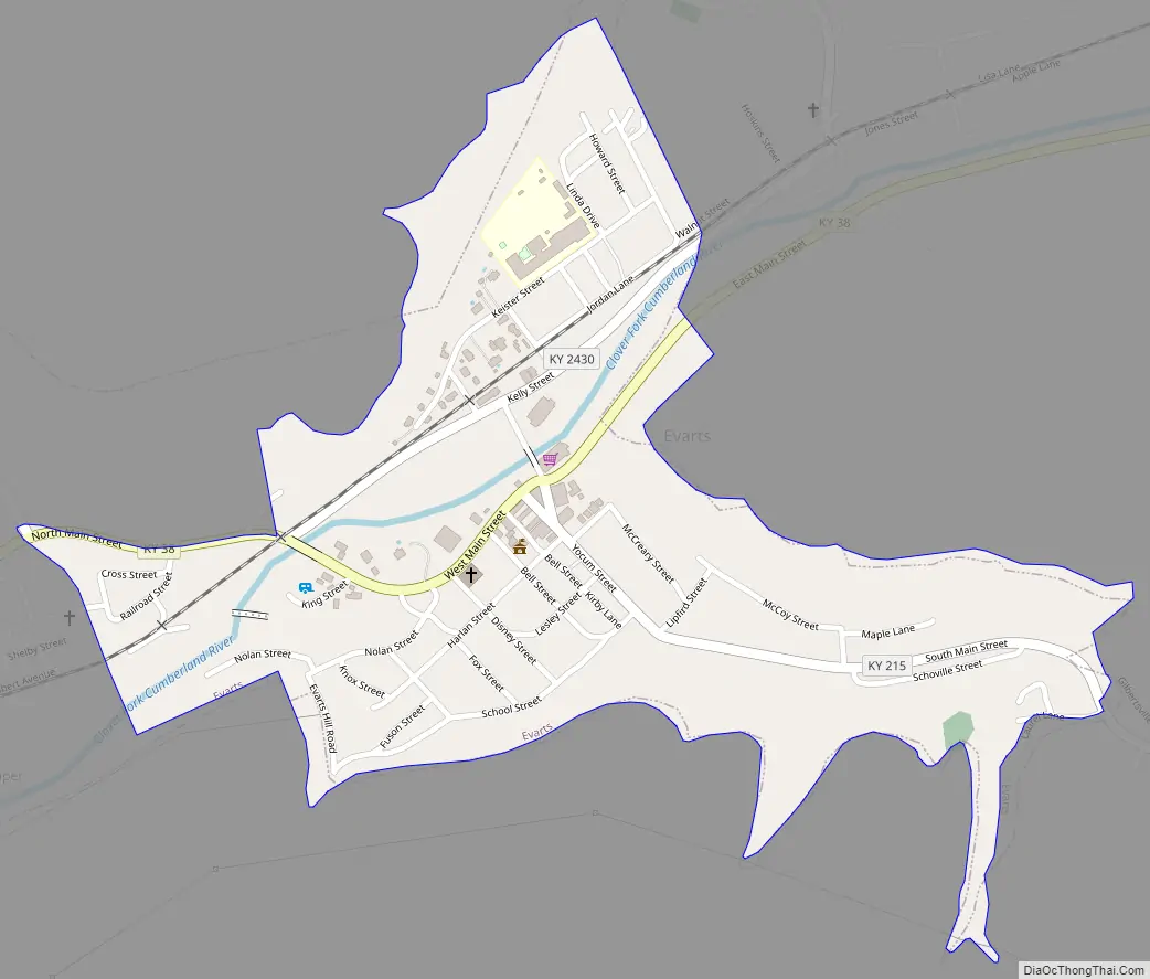
Evarts Road Map
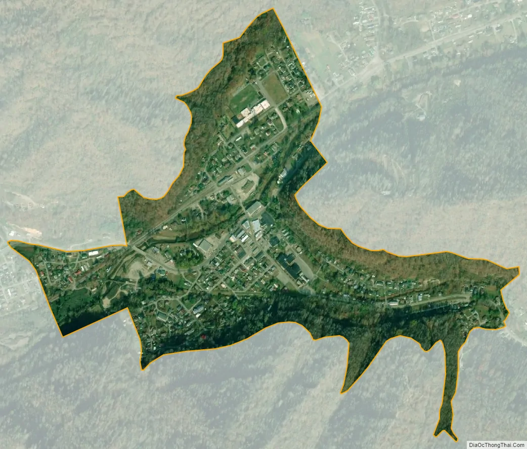
Evarts city Satellite Map
Geography
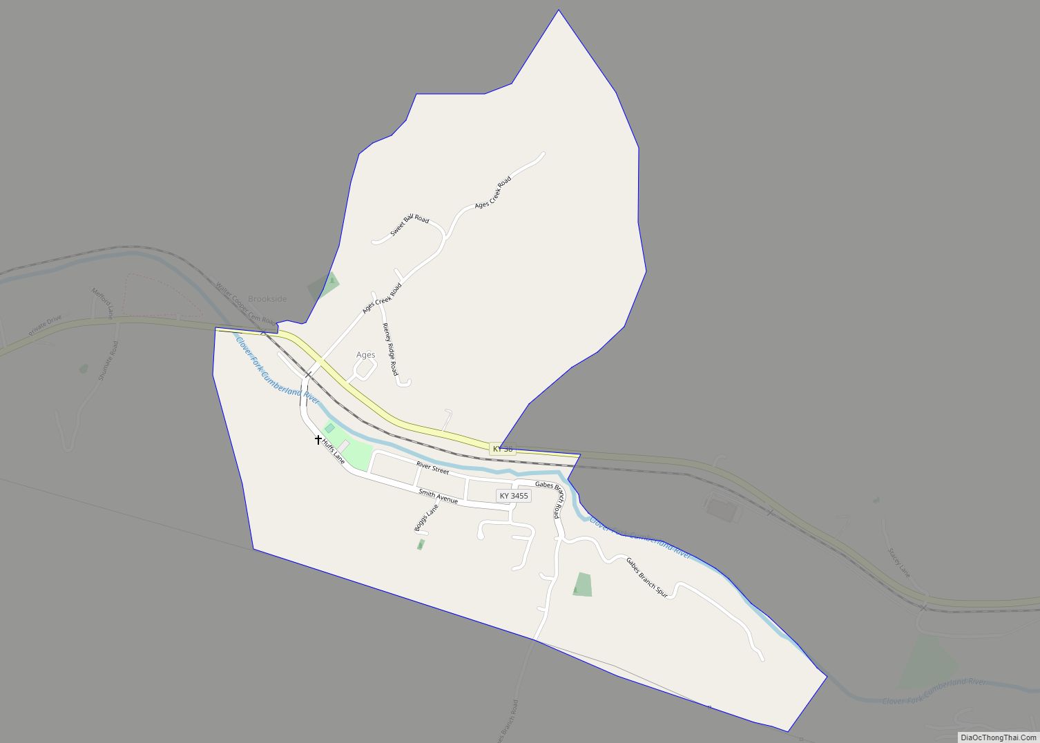
Evarts is in central Harlan County, in the valley of the Clover Fork of the Cumberland River, where it is joined from the southeast by the valley of Yocum Creek. Kentucky Route 38 (Main Street) follows the Clover Fork, leading northeast (upstream) 21 miles (34 km) to the Virginia border near Keokee, and southwest (downstream) 8 miles (13 km) to Harlan, the county seat. Kentucky Route 215 runs southeast from Evarts up the Yocum Creek valley through Kenvir 5 miles (8 km) to Dizney.
According to the United States Census Bureau, Evarts has a total area of 0.40 square miles (1.04 km), of which 0.02 square miles (0.04 km), or 4.07%, are water.
See also
Map of Kentucky State and its subdivision:- Adair
- Allen
- Anderson
- Ballard
- Barren
- Bath
- Bell
- Boone
- Bourbon
- Boyd
- Boyle
- Bracken
- Breathitt
- Breckinridge
- Bullitt
- Butler
- Caldwell
- Calloway
- Campbell
- Carlisle
- Carroll
- Carter
- Casey
- Christian
- Clark
- Clay
- Clinton
- Crittenden
- Cumberland
- Daviess
- Edmonson
- Elliott
- Estill
- Fayette
- Fleming
- Floyd
- Franklin
- Fulton
- Gallatin
- Garrard
- Grant
- Graves
- Grayson
- Green
- Greenup
- Hancock
- Hardin
- Harlan
- Harrison
- Hart
- Henderson
- Henry
- Hickman
- Hopkins
- Jackson
- Jefferson
- Jessamine
- Johnson
- Kenton
- Knott
- Knox
- Larue
- Laurel
- Lawrence
- Lee
- Leslie
- Letcher
- Lewis
- Lincoln
- Livingston
- Logan
- Lyon
- Madison
- Magoffin
- Marion
- Marshall
- Martin
- Mason
- McCracken
- McCreary
- McLean
- Meade
- Menifee
- Mercer
- Metcalfe
- Monroe
- Montgomery
- Morgan
- Muhlenberg
- Nelson
- Nicholas
- Ohio
- Oldham
- Owen
- Owsley
- Pendleton
- Perry
- Pike
- Powell
- Pulaski
- Robertson
- Rockcastle
- Rowan
- Russell
- Scott
- Shelby
- Simpson
- Spencer
- Taylor
- Todd
- Trigg
- Trimble
- Union
- Warren
- Washington
- Wayne
- Webster
- Whitley
- Wolfe
- Woodford
- Alabama
- Alaska
- Arizona
- Arkansas
- California
- Colorado
- Connecticut
- Delaware
- District of Columbia
- Florida
- Georgia
- Hawaii
- Idaho
- Illinois
- Indiana
- Iowa
- Kansas
- Kentucky
- Louisiana
- Maine
- Maryland
- Massachusetts
- Michigan
- Minnesota
- Mississippi
- Missouri
- Montana
- Nebraska
- Nevada
- New Hampshire
- New Jersey
- New Mexico
- New York
- North Carolina
- North Dakota
- Ohio
- Oklahoma
- Oregon
- Pennsylvania
- Rhode Island
- South Carolina
- South Dakota
- Tennessee
- Texas
- Utah
- Vermont
- Virginia
- Washington
- West Virginia
- Wisconsin
- Wyoming