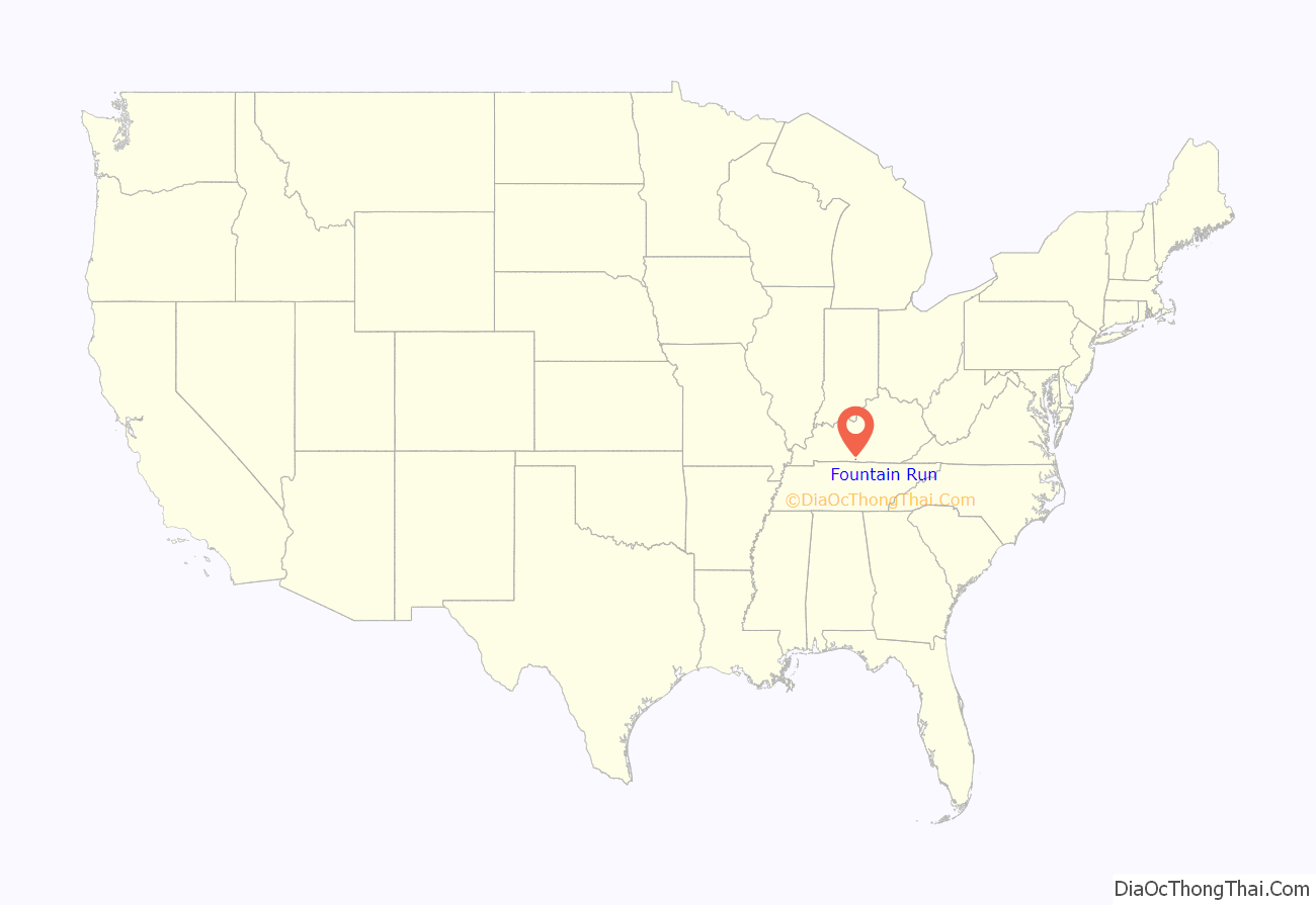
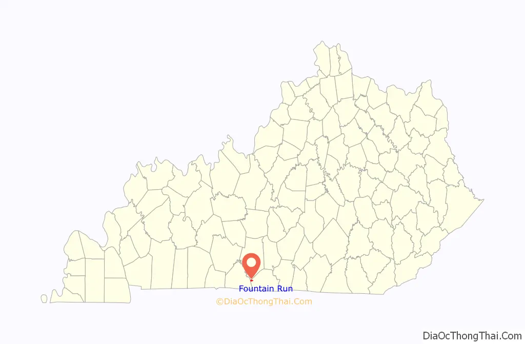
Fountain Run is a home rule-class city in Monroe County, Kentucky, in the United States. The population was 216 at the 2020 census.
| Name: | Fountain Run city |
|---|---|
| LSAD Code: | 25 |
| LSAD Description: | city (suffix) |
| State: | Kentucky |
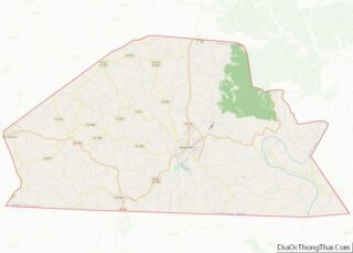
| County: | Monroe County |
| Elevation: | 791 ft (241 m) |
| Total Area: | 1.32 sq mi (3.41 km²) |
| Land Area: | 1.32 sq mi (3.41 km²) |
| Water Area: | 0.00 sq mi (0.00 km²) |
| Total Population: | 216 |
| Population Density: | 164.13/sq mi (63.38/km²) |
| ZIP code: | 42133 |
| Area code: | 270 |
| FIPS code: | 2128666 |
| GNISfeature ID: | 0492374 |
| Website: | www.fountainrunkentucky.com |
Online Interactive Map
Click on ![]() to view map in "full screen" mode.
to view map in "full screen" mode.
Fountain Run location map. Where is Fountain Run city?
History
Fountain Run was originally called “Jamestown”. The order establishing Jamestown on 50 acres (20 ha) of land owned by Jacob Goodman, Sr. was entered in Barren County Court Order Book #4 during November Court, 1816. Jamestown, located in Monroe County after 1820, appears in public records and on maps with this name through the Civil War. The name was changed to “Fountain Run” for the new post office (1856) because of Jamestown, already established as the county seat of Russell County.
Fountain Run was formally incorporated by the state legislature in 1908.
Although not historically recorded as such, the name “Fountain Run” is traditionally believed to refer to the town’s spring and stream branch, perhaps reminiscent of “run” as a name for streams in colonial Virginia.
“Jimtown” (diminutive of Jamestown) as a nickname for the town and community persisted after the new postal name of “Fountain Run” was created. For example, the “Glasgow and Jimtown turnpike road” was authorized by an act of the Kentucky Legislature (Chapter 906), February 17, 1866, as a toll road between Glasgow and Fountain Run via currently marked Kentucky Route 249, Kentucky Route 921, Defeated Creek Road, and Kentucky Route 87—see the 1879 Barren County map which reveals the most improved contemporary route. This new toll road followed the route of the old “[Thomas] Flippin road” (est. 1799) to Dry Fork—Kentucky Route 249 today, then turned at the intersection to proceed via the current route of Highway 921 to Defeated Creek Road. The act also provided for a toll road branch that continued from Dry Fork via the Flippin road (a.k.a. Pikesville road after 1818) toward the “forks of Indian Creek”—also Kentucky Route 249 as straightened and improved, today. This incorporated toll road and its branch road later reverted to public roads maintained by the local magistrates, but Kentucky Route 249 retained its moniker as the “Jimtown Road” well into the 20th century. Musician Billy Vaughn composed (1968) the song, “The Jimtown Road”, inspired by this historic Barren County route, which was famously recorded (1969) by The Mills Brothers, although the song’s lyrics are mostly veiled references about Glasgow and Bowling Green, Kentucky, instead of Fountain Run. Today, this route from Glasgow is more commonly known as the “Roseville Road”.
Jimtown Academy was established in 1897 in Fountain Run as a school of private instruction that included “primary and preparatory departments”, with W. B. Robinson as principal. Fountain Run elementary and high schools were also located here until they were consolidated.
The Monroe County section of Kentucky: A History of the State (1886) includes brief biographies of some prominent 19th-century citizens of the Fountain Run community. Two booklets authored by local resident Lucy Albright (1903-1985) have been widely recognized as sources of the traditional history of Fountain Run and of genealogies of some early families of the community. Histories of Monroe County that include this community have been more recently published.
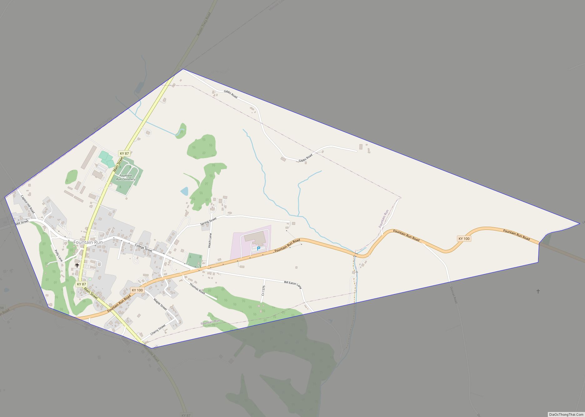
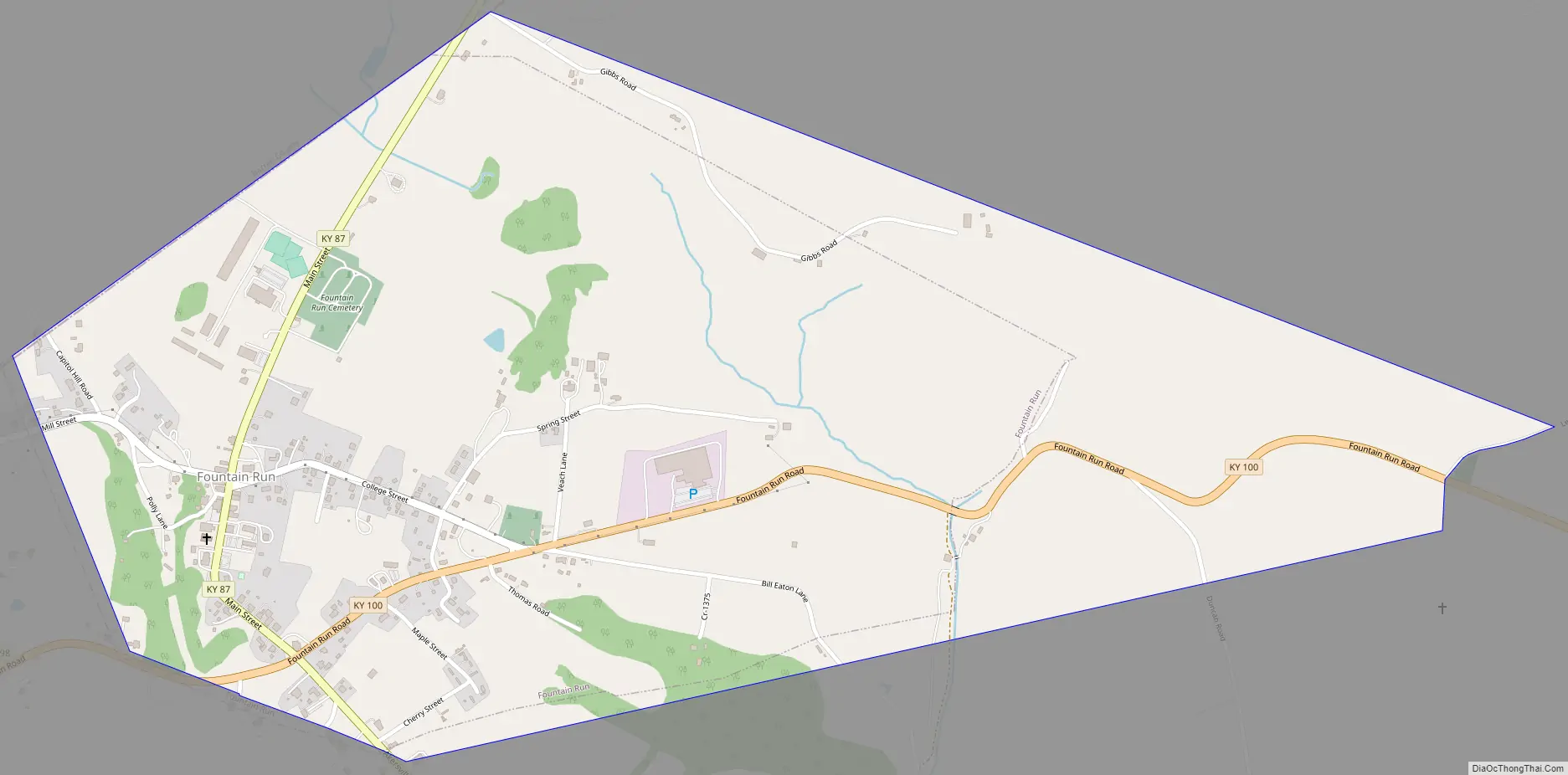
Fountain Run Road Map
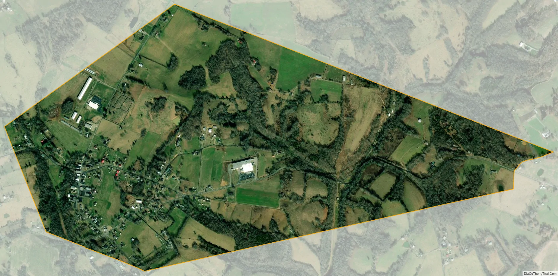
Fountain Run city Satellite Map
Geography
Fountain Run is located at 36°43′17″N 85°57′41″W / 36.72139°N 85.96139°W / 36.72139; -85.96139 (36.721319, -85.961398) in western Monroe County, near the point where Allen, Monroe, and Barren counties come together. Kentucky Route 100 passes through the south side of the community, leading east 18 miles (29 km) to Tompkinsville, the county seat, and west 16 miles (26 km) to Scottsville. Kentucky Route 87 passes through the center of Fountain Run, leading northwest 14 miles (23 km) to its terminus at Barren River Lake State Resort Park and south toward Lafayette, Tennessee, 17 miles (27 km) away.
According to the United States Census Bureau, Fountain Run has a total area of 1.32 square miles (3.42 km), of which 0.001 square miles (0.00 km), or 0.08%, are water. Spring Creek runs along the eastern border of the city, and Jakes Branch drains the western part; both streams flow south to Indian Creek, just west of its mouth at the Barren River, part of the Green River watershed.
See also
Map of Kentucky State and its subdivision:- Adair
- Allen
- Anderson
- Ballard
- Barren
- Bath
- Bell
- Boone
- Bourbon
- Boyd
- Boyle
- Bracken
- Breathitt
- Breckinridge
- Bullitt
- Butler
- Caldwell
- Calloway
- Campbell
- Carlisle
- Carroll
- Carter
- Casey
- Christian
- Clark
- Clay
- Clinton
- Crittenden
- Cumberland
- Daviess
- Edmonson
- Elliott
- Estill
- Fayette
- Fleming
- Floyd
- Franklin
- Fulton
- Gallatin
- Garrard
- Grant
- Graves
- Grayson
- Green
- Greenup
- Hancock
- Hardin
- Harlan
- Harrison
- Hart
- Henderson
- Henry
- Hickman
- Hopkins
- Jackson
- Jefferson
- Jessamine
- Johnson
- Kenton
- Knott
- Knox
- Larue
- Laurel
- Lawrence
- Lee
- Leslie
- Letcher
- Lewis
- Lincoln
- Livingston
- Logan
- Lyon
- Madison
- Magoffin
- Marion
- Marshall
- Martin
- Mason
- McCracken
- McCreary
- McLean
- Meade
- Menifee
- Mercer
- Metcalfe
- Monroe
- Montgomery
- Morgan
- Muhlenberg
- Nelson
- Nicholas
- Ohio
- Oldham
- Owen
- Owsley
- Pendleton
- Perry
- Pike
- Powell
- Pulaski
- Robertson
- Rockcastle
- Rowan
- Russell
- Scott
- Shelby
- Simpson
- Spencer
- Taylor
- Todd
- Trigg
- Trimble
- Union
- Warren
- Washington
- Wayne
- Webster
- Whitley
- Wolfe
- Woodford
- Alabama
- Alaska
- Arizona
- Arkansas
- California
- Colorado
- Connecticut
- Delaware
- District of Columbia
- Florida
- Georgia
- Hawaii
- Idaho
- Illinois
- Indiana
- Iowa
- Kansas
- Kentucky
- Louisiana
- Maine
- Maryland
- Massachusetts
- Michigan
- Minnesota
- Mississippi
- Missouri
- Montana
- Nebraska
- Nevada
- New Hampshire
- New Jersey
- New Mexico
- New York
- North Carolina
- North Dakota
- Ohio
- Oklahoma
- Oregon
- Pennsylvania
- Rhode Island
- South Carolina
- South Dakota
- Tennessee
- Texas
- Utah
- Vermont
- Virginia
- Washington
- West Virginia
- Wisconsin
- Wyoming