Fox Chase is a home rule-class city in Bullitt County, Kentucky, in the United States. It was formally incorporated by the state assembly in 1983. The population was 447 at the 2010 census.
| Name: | Fox Chase city |
|---|---|
| LSAD Code: | 25 |
| LSAD Description: | city (suffix) |
| State: | Kentucky |
| County: | Bullitt County |
| Elevation: | 515 ft (157 m) |
| Total Area: | 0.39 sq mi (1.01 km²) |
| Land Area: | 0.38 sq mi (0.99 km²) |
| Water Area: | 0.01 sq mi (0.02 km²) |
| Total Population: | 436 |
| Population Density: | 1,141.36/sq mi (441.16/km²) |
| FIPS code: | 2128785 |
| GNISfeature ID: | 1669502 |
| Website: | www.cityoffoxchase.org |
Online Interactive Map
Click on ![]() to view map in "full screen" mode.
to view map in "full screen" mode.
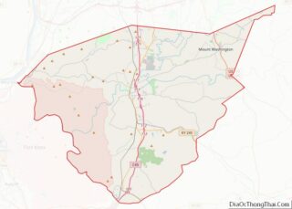
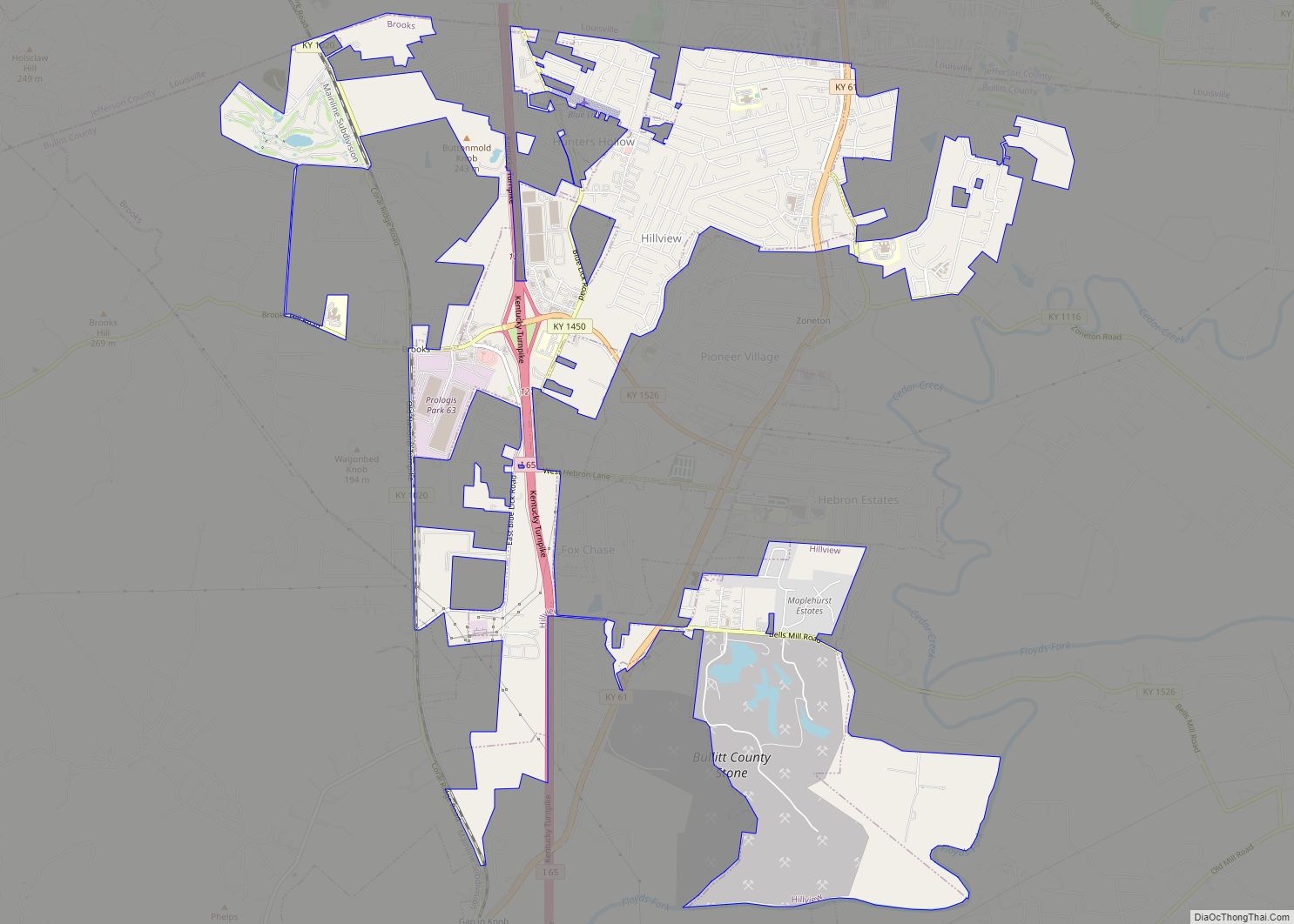
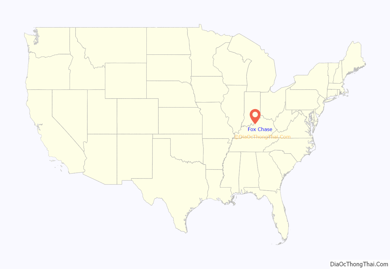
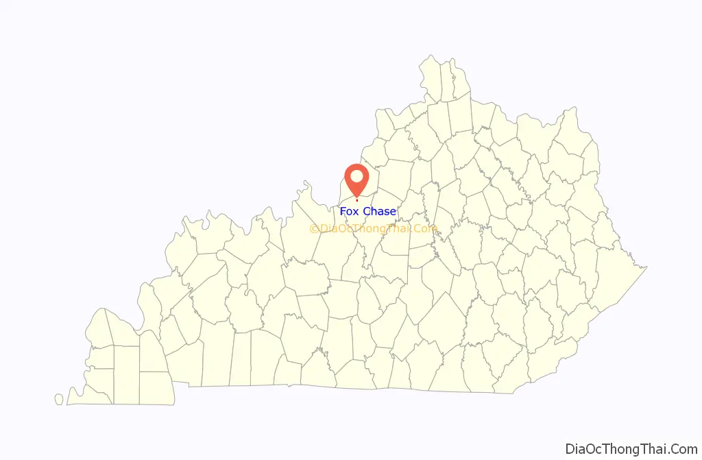
Fox Chase location map. Where is Fox Chase city?
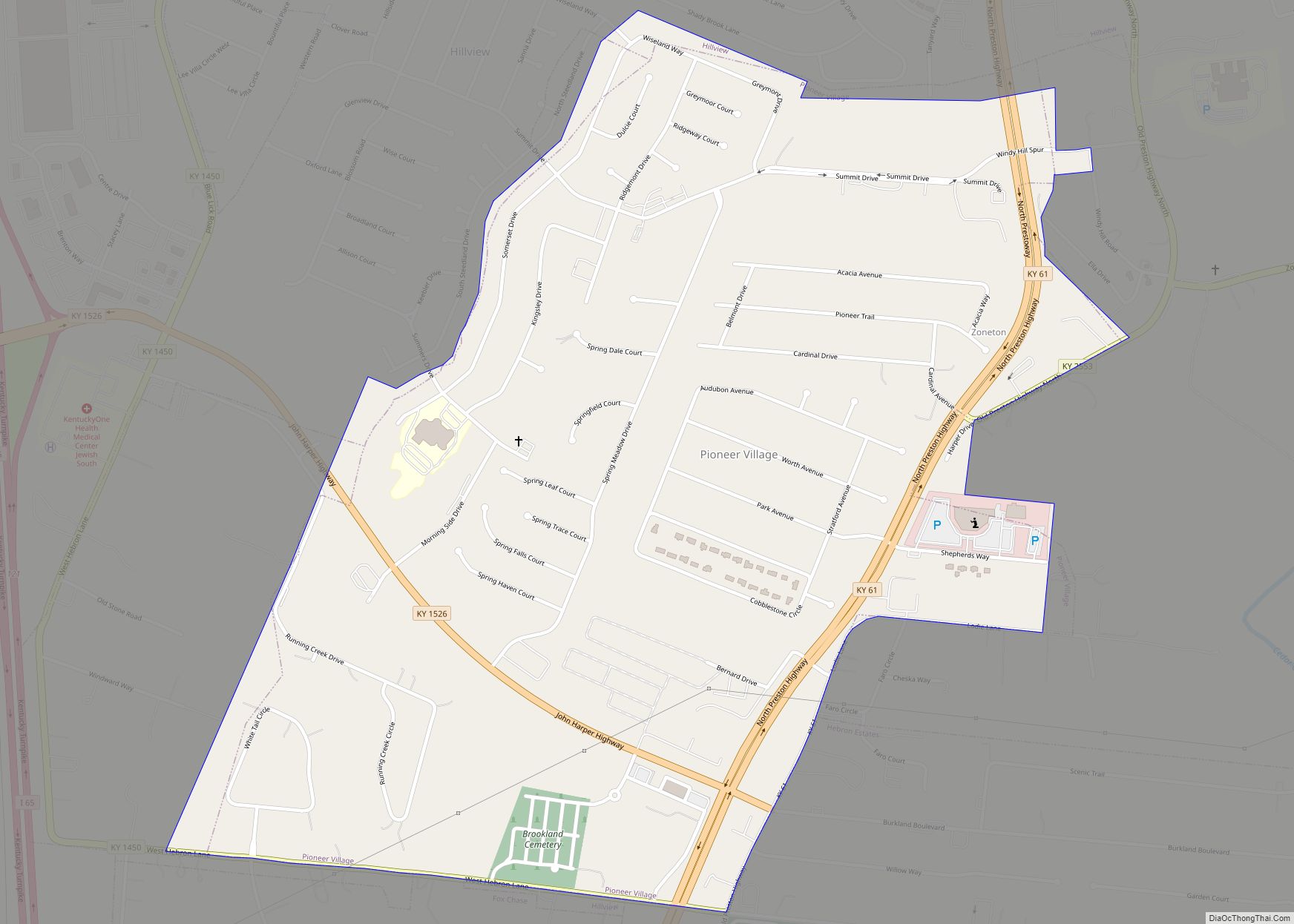
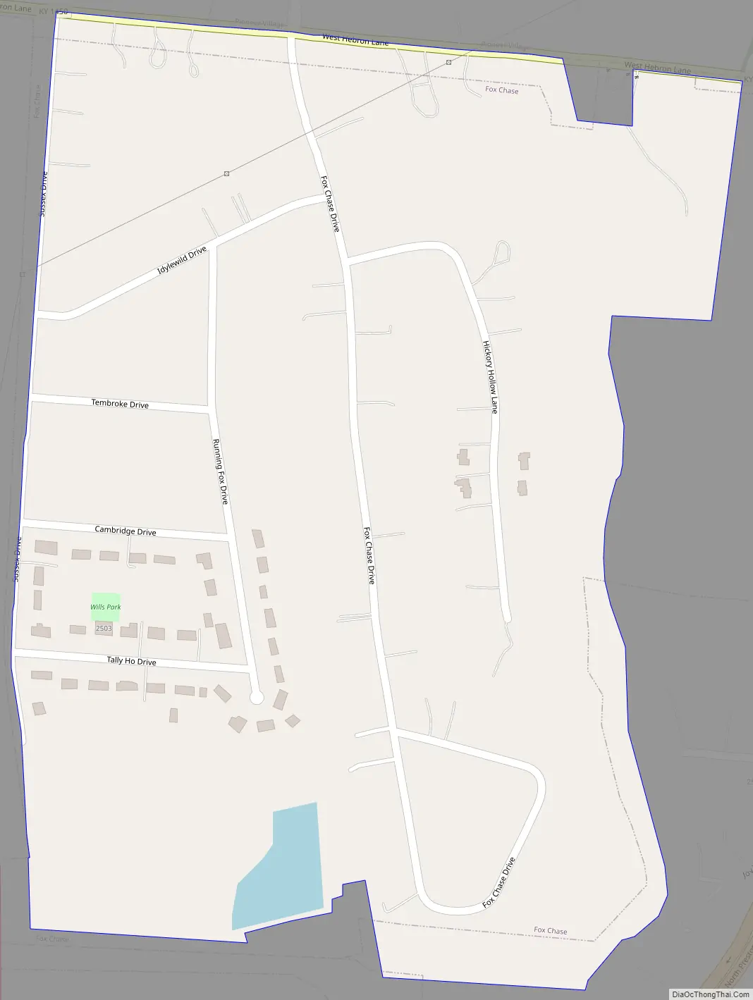
Fox Chase Road Map
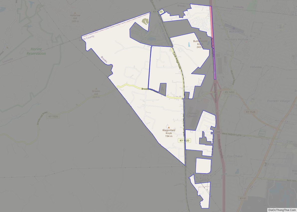
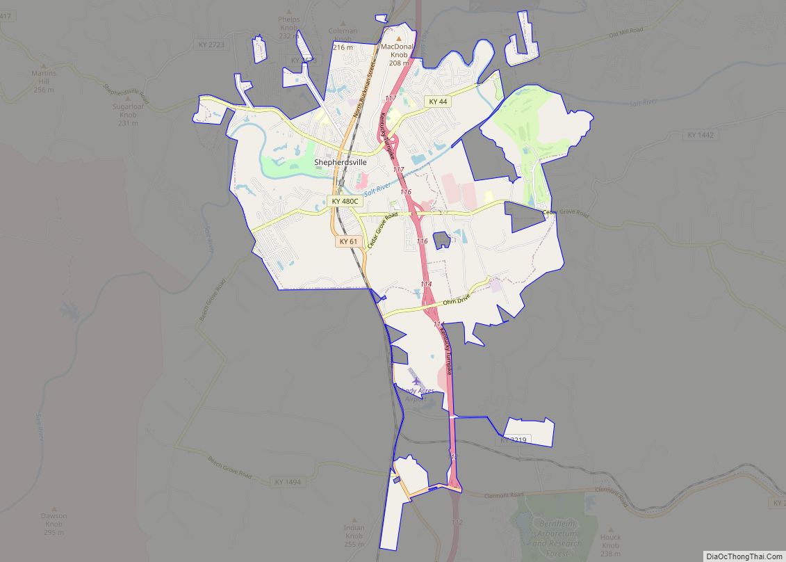
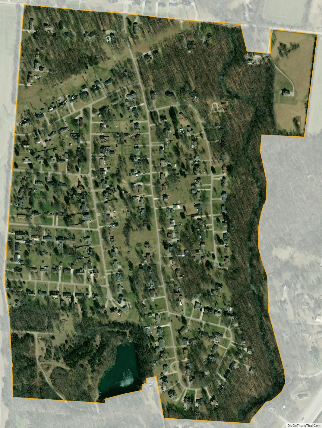
Fox Chase city Satellite Map
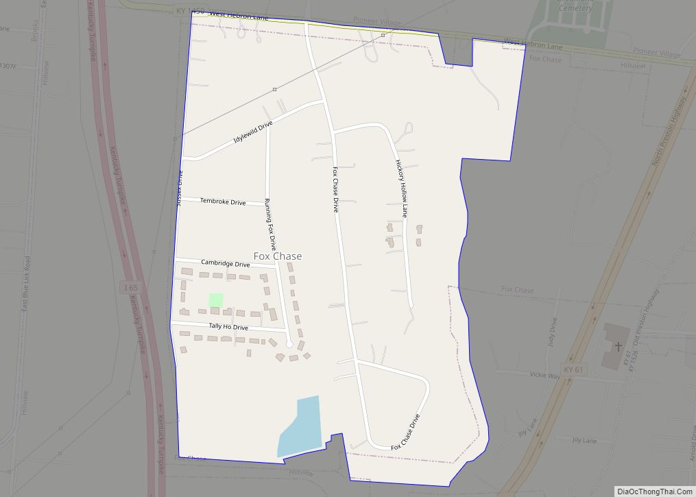
Geography
Fox Chase is located in northern Bullitt County at 38°2′47″N 85°41′39″W / 38.04639°N 85.69417°W / 38.04639; -85.69417 (38.046330, -85.694029), 16 miles (26 km) south of downtown Louisville. It is bordered on its west side by Interstate 65, with the closest access from Exit 121 (John Harper Highway) 0.5 miles (0.80 km) north of Fox Chase. Surrounding communities include the city of Hillview, with land to the north, southeast, and west; the city of Hebron Estates to the east; and unincorporated Brooks to the west of I-65.
According to the United States Census Bureau, Fox Chase has a total area of 0.39 square miles (1.0 km), of which 0.008 square miles (0.02 km), or 1.72%, is water.
See also
Map of Kentucky State and its subdivision:- Adair
- Allen
- Anderson
- Ballard
- Barren
- Bath
- Bell
- Boone
- Bourbon
- Boyd
- Boyle
- Bracken
- Breathitt
- Breckinridge
- Bullitt
- Butler
- Caldwell
- Calloway
- Campbell
- Carlisle
- Carroll
- Carter
- Casey
- Christian
- Clark
- Clay
- Clinton
- Crittenden
- Cumberland
- Daviess
- Edmonson
- Elliott
- Estill
- Fayette
- Fleming
- Floyd
- Franklin
- Fulton
- Gallatin
- Garrard
- Grant
- Graves
- Grayson
- Green
- Greenup
- Hancock
- Hardin
- Harlan
- Harrison
- Hart
- Henderson
- Henry
- Hickman
- Hopkins
- Jackson
- Jefferson
- Jessamine
- Johnson
- Kenton
- Knott
- Knox
- Larue
- Laurel
- Lawrence
- Lee
- Leslie
- Letcher
- Lewis
- Lincoln
- Livingston
- Logan
- Lyon
- Madison
- Magoffin
- Marion
- Marshall
- Martin
- Mason
- McCracken
- McCreary
- McLean
- Meade
- Menifee
- Mercer
- Metcalfe
- Monroe
- Montgomery
- Morgan
- Muhlenberg
- Nelson
- Nicholas
- Ohio
- Oldham
- Owen
- Owsley
- Pendleton
- Perry
- Pike
- Powell
- Pulaski
- Robertson
- Rockcastle
- Rowan
- Russell
- Scott
- Shelby
- Simpson
- Spencer
- Taylor
- Todd
- Trigg
- Trimble
- Union
- Warren
- Washington
- Wayne
- Webster
- Whitley
- Wolfe
- Woodford
- Alabama
- Alaska
- Arizona
- Arkansas
- California
- Colorado
- Connecticut
- Delaware
- District of Columbia
- Florida
- Georgia
- Hawaii
- Idaho
- Illinois
- Indiana
- Iowa
- Kansas
- Kentucky
- Louisiana
- Maine
- Maryland
- Massachusetts
- Michigan
- Minnesota
- Mississippi
- Missouri
- Montana
- Nebraska
- Nevada
- New Hampshire
- New Jersey
- New Mexico
- New York
- North Carolina
- North Dakota
- Ohio
- Oklahoma
- Oregon
- Pennsylvania
- Rhode Island
- South Carolina
- South Dakota
- Tennessee
- Texas
- Utah
- Vermont
- Virginia
- Washington
- West Virginia
- Wisconsin
- Wyoming