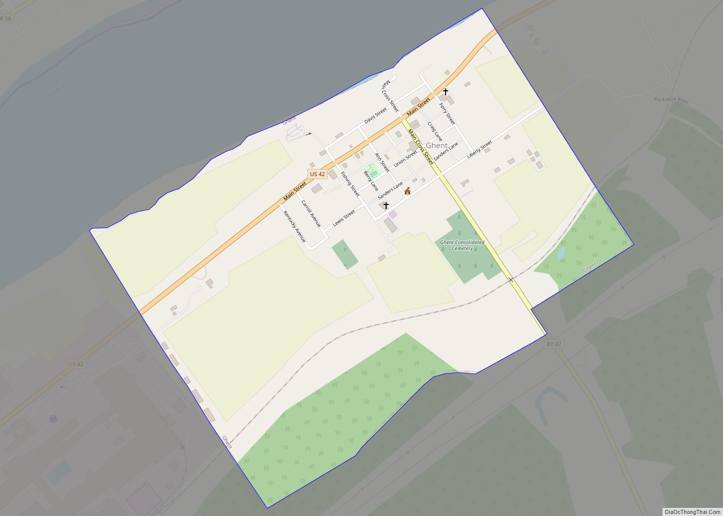
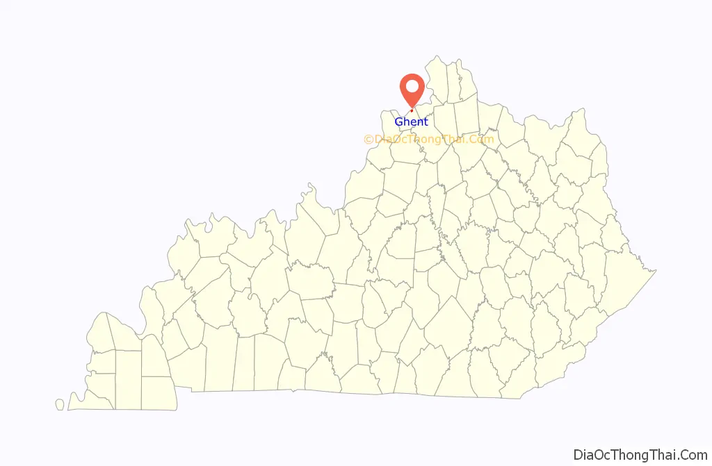
Ghent is a home rule-class city along the south bank of the Ohio River in Carroll County, Kentucky, in the United States. The population was 323 at the 2010 census.
| Name: | Ghent city |
|---|---|
| LSAD Code: | 25 |
| LSAD Description: | city (suffix) |
| State: | Kentucky |
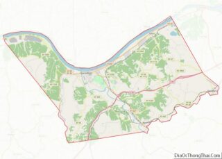
| County: | Carroll County |
| Elevation: | 486 ft (148 m) |
| Total Area: | 0.72 sq mi (1.86 km²) |
| Land Area: | 0.71 sq mi (1.84 km²) |
| Water Area: | 0.01 sq mi (0.01 km²) |
| Total Population: | 363 |
| Population Density: | 510.55/sq mi (197.08/km²) |
| ZIP code: | 41045 |
| Area code: | 502 |
| FIPS code: | 2130808 |
| GNISfeature ID: | 0492798 |
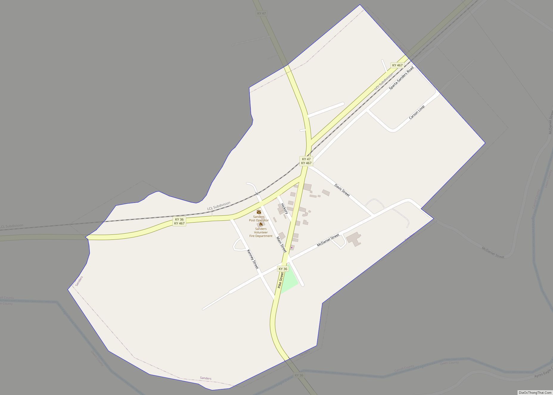
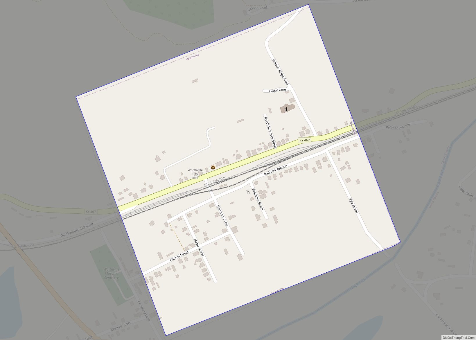
Online Interactive Map
Click on ![]() to view map in "full screen" mode.
to view map in "full screen" mode.
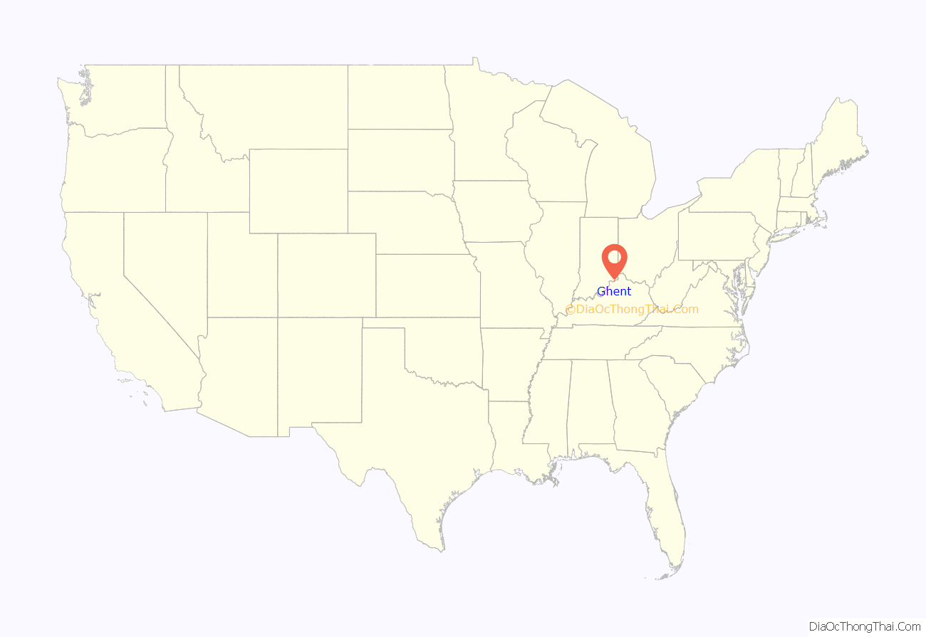
Ghent location map. Where is Ghent city?
History
Ghent was settled at the end of eighteenth century and was first known as McCool’s Creek Settlement. The town was laid out in 1814. Henry Clay is alleged to have suggested the name, derived from the city of Ghent (then part of the Netherlands and now part of Belgium), where the treaty ending the War of 1812 was signed between the United States and the United Kingdom on Christmas Eve, 1814. Ghent’s post office opened in 1816. On January 17, 1839, the Kentucky General Assembly formally established the city of Ghent and appointed Theodoric Fisher, Samuel Sanders Jr., James Knox, John C. Lindsey, and Richard Sarlls as its trustees.
In August 1864, in a skirmish during the Civil War in what was known as the Gex Landing Incident, members of the African-American United States Colored Troops and the United States Colored Cavalry engaged with CSA troops seeking to rescue local resident James Southard, a ferryman and Confederate sympathizer who had been arrested. USCT soldiers suffered an undetermined number of casualties.
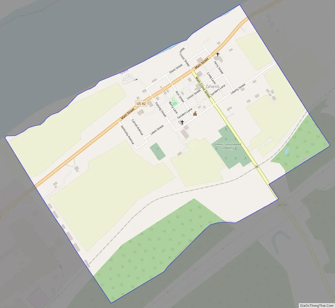
Ghent Road Map
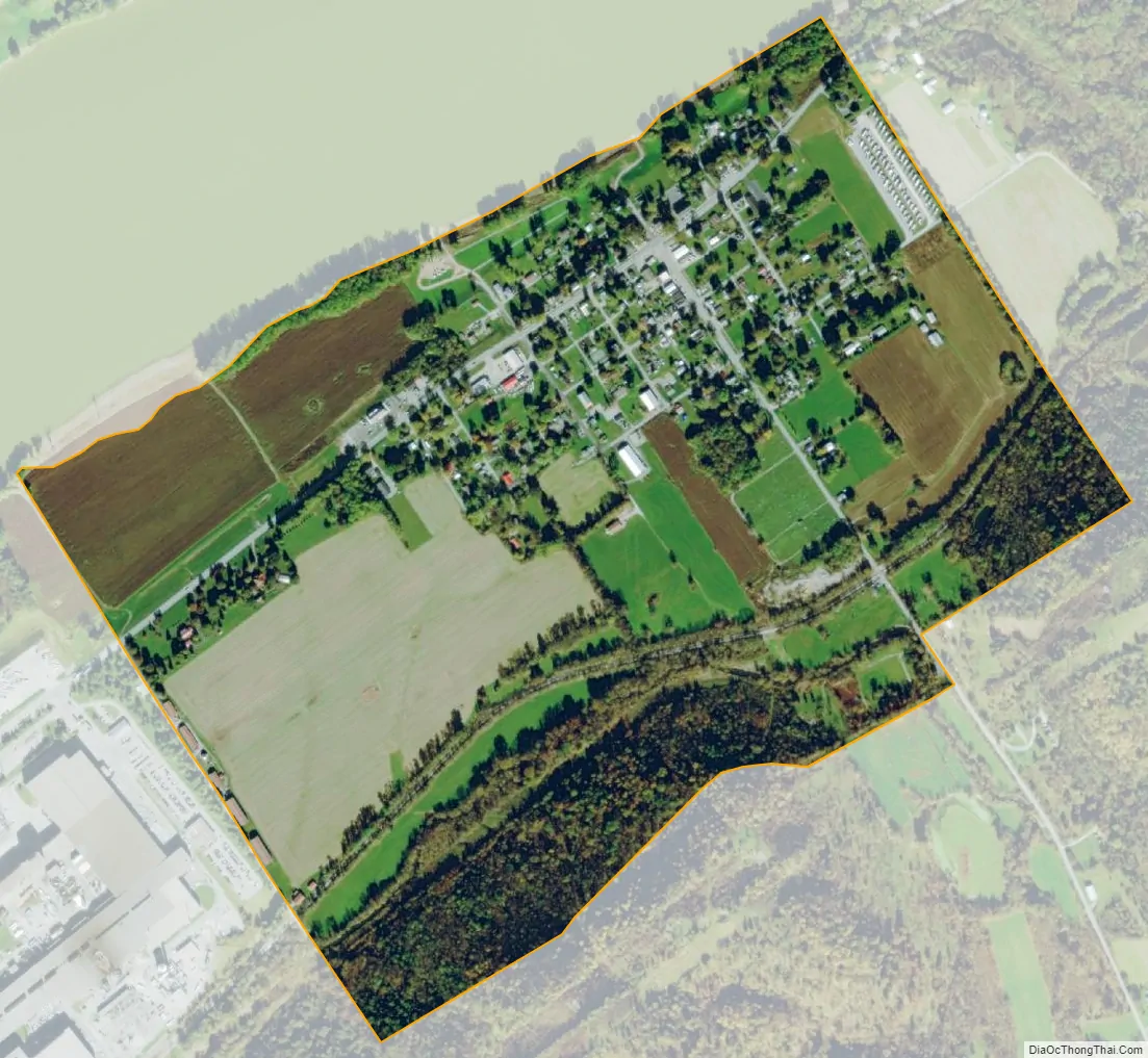
Ghent city Satellite Map
Geography
Ghent is located in northeastern Carroll County at 38°44′10″N 85°3′37″W / 38.73611°N 85.06028°W / 38.73611; -85.06028 (38.736116, -85.060225), along the Ohio River. According to the United States Census Bureau, the city has a total area of 0.73 square miles (1.9 km), all land. The community is located on U.S. Route 42 at Kentucky Route 47. Ghent is north of Interstate 71.
Ghent is on the opposite side of the Ohio River from Vevay, Indiana, but the towns are not linked by a bridge. Ferry service between these two river cities spanned 175 years from 1802 to 1977.
See also
Map of Kentucky State and its subdivision:- Adair
- Allen
- Anderson
- Ballard
- Barren
- Bath
- Bell
- Boone
- Bourbon
- Boyd
- Boyle
- Bracken
- Breathitt
- Breckinridge
- Bullitt
- Butler
- Caldwell
- Calloway
- Campbell
- Carlisle
- Carroll
- Carter
- Casey
- Christian
- Clark
- Clay
- Clinton
- Crittenden
- Cumberland
- Daviess
- Edmonson
- Elliott
- Estill
- Fayette
- Fleming
- Floyd
- Franklin
- Fulton
- Gallatin
- Garrard
- Grant
- Graves
- Grayson
- Green
- Greenup
- Hancock
- Hardin
- Harlan
- Harrison
- Hart
- Henderson
- Henry
- Hickman
- Hopkins
- Jackson
- Jefferson
- Jessamine
- Johnson
- Kenton
- Knott
- Knox
- Larue
- Laurel
- Lawrence
- Lee
- Leslie
- Letcher
- Lewis
- Lincoln
- Livingston
- Logan
- Lyon
- Madison
- Magoffin
- Marion
- Marshall
- Martin
- Mason
- McCracken
- McCreary
- McLean
- Meade
- Menifee
- Mercer
- Metcalfe
- Monroe
- Montgomery
- Morgan
- Muhlenberg
- Nelson
- Nicholas
- Ohio
- Oldham
- Owen
- Owsley
- Pendleton
- Perry
- Pike
- Powell
- Pulaski
- Robertson
- Rockcastle
- Rowan
- Russell
- Scott
- Shelby
- Simpson
- Spencer
- Taylor
- Todd
- Trigg
- Trimble
- Union
- Warren
- Washington
- Wayne
- Webster
- Whitley
- Wolfe
- Woodford
- Alabama
- Alaska
- Arizona
- Arkansas
- California
- Colorado
- Connecticut
- Delaware
- District of Columbia
- Florida
- Georgia
- Hawaii
- Idaho
- Illinois
- Indiana
- Iowa
- Kansas
- Kentucky
- Louisiana
- Maine
- Maryland
- Massachusetts
- Michigan
- Minnesota
- Mississippi
- Missouri
- Montana
- Nebraska
- Nevada
- New Hampshire
- New Jersey
- New Mexico
- New York
- North Carolina
- North Dakota
- Ohio
- Oklahoma
- Oregon
- Pennsylvania
- Rhode Island
- South Carolina
- South Dakota
- Tennessee
- Texas
- Utah
- Vermont
- Virginia
- Washington
- West Virginia
- Wisconsin
- Wyoming